A Different Side of Mt. Dobrča!

Mt. Dobrča can be reached from many directions. I’ve previously blogged about my hike to the Koča na Dobrči mountain hut, so this time I decided to approach it from a different direction, from Tržič, or to be more precise from Brezje pri Tržiču via the Lešanska planina mountain pasture.

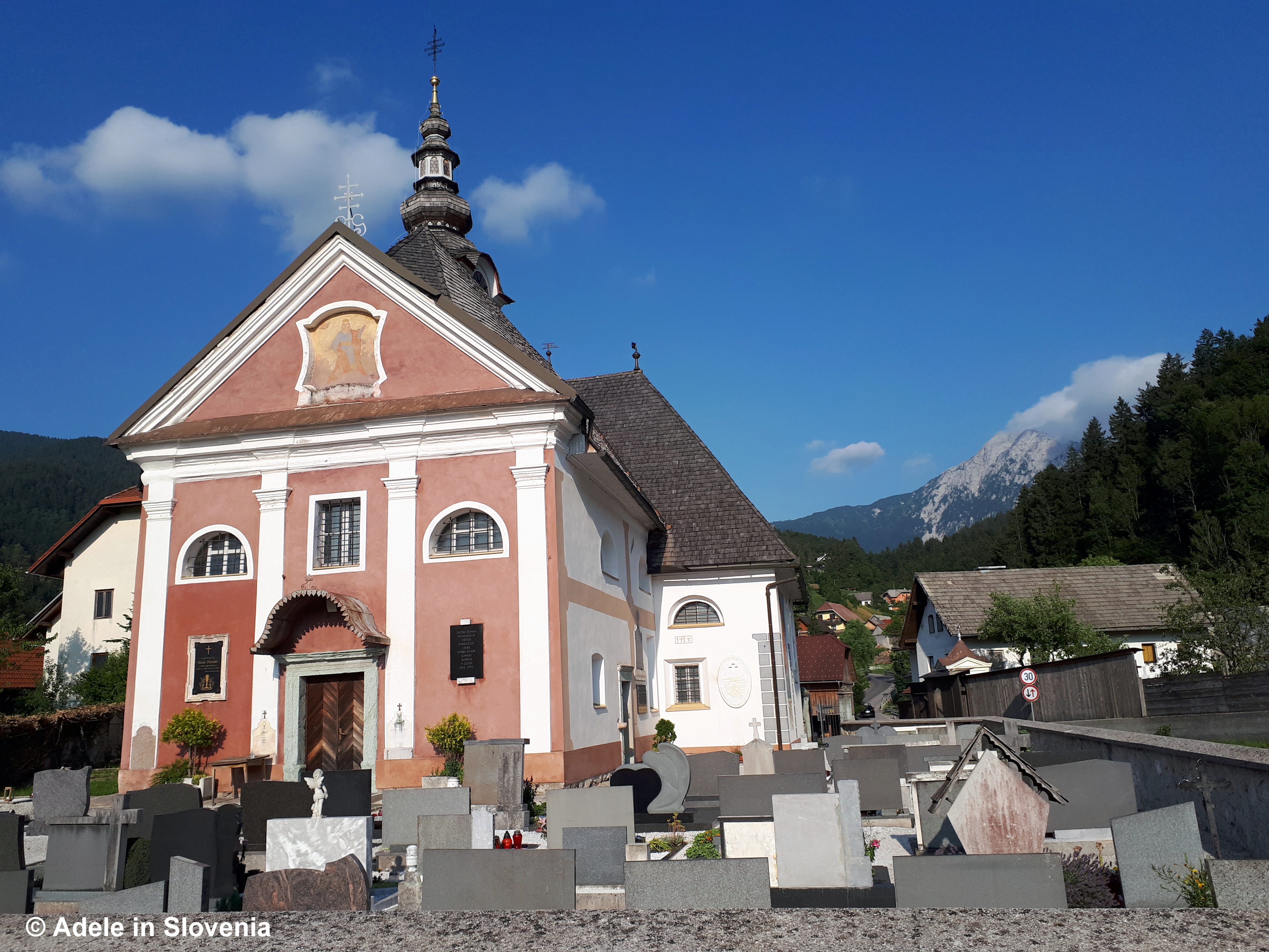
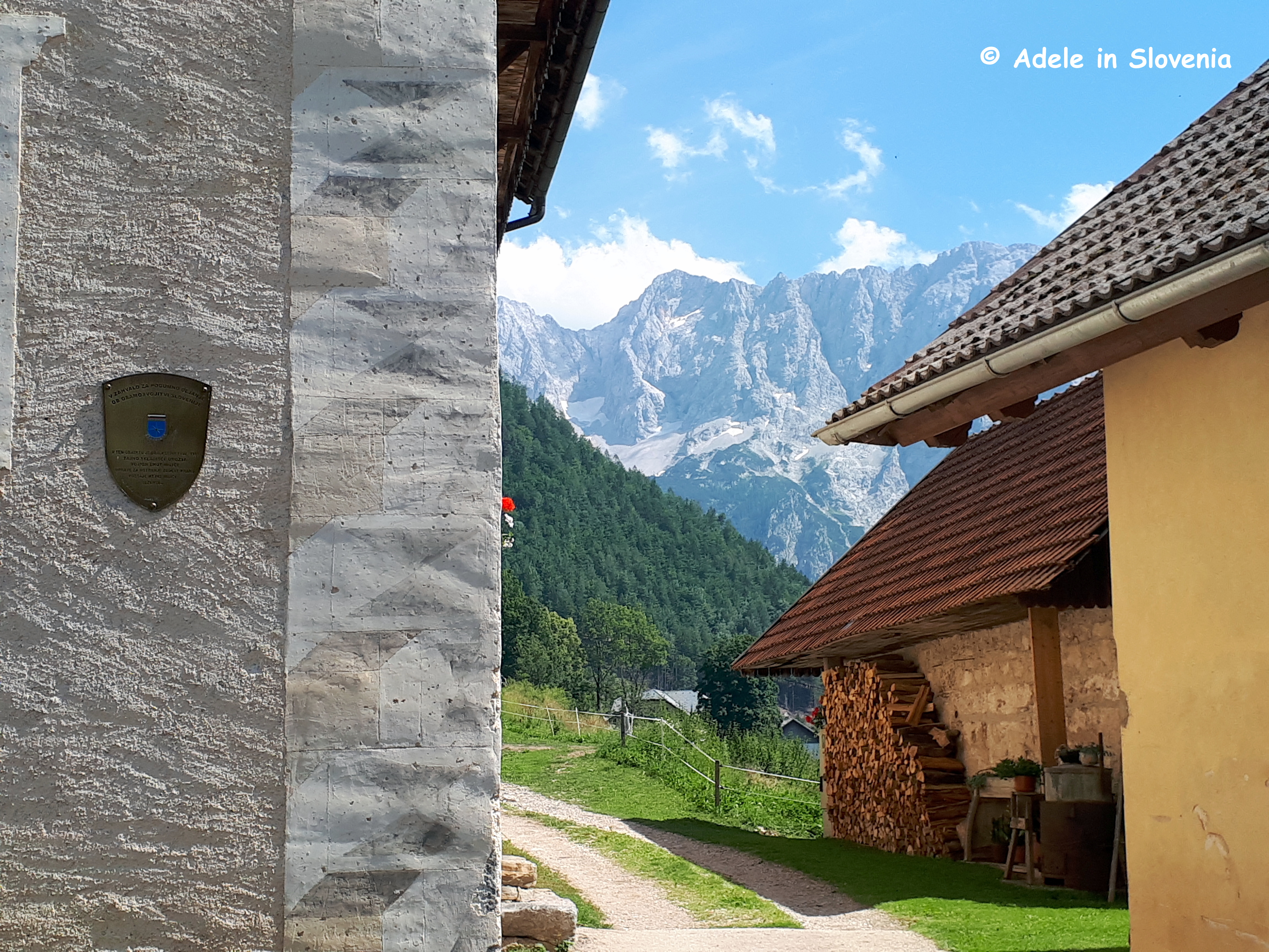
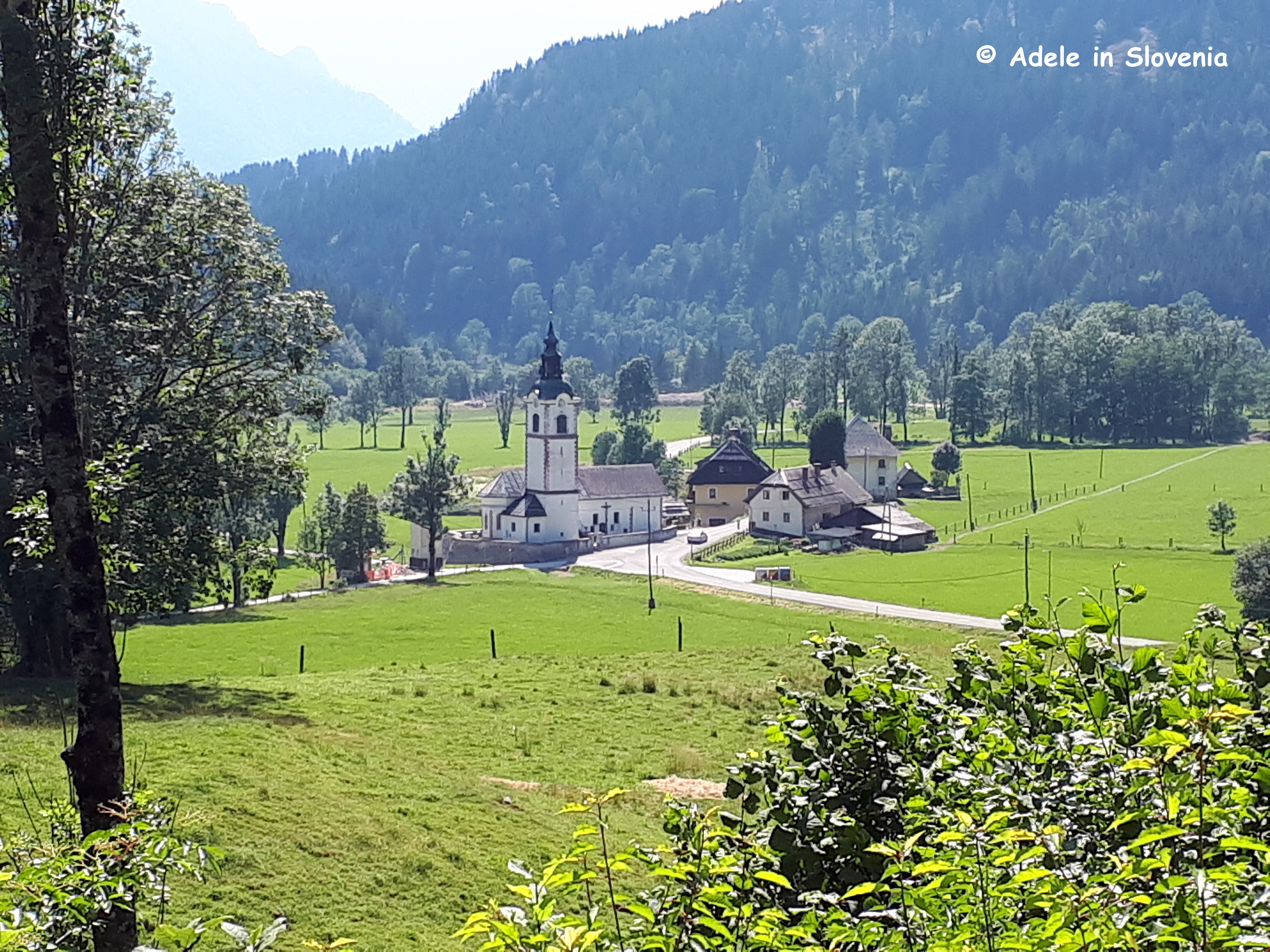
This particular trail begins from almost opposite St. Agnes’s church (Slovene: Sveta Neža) in Brezje pri Tržiču, which is located alongside the road that leads from Begunje na Gorenjskem to Tržiška Bistrica.

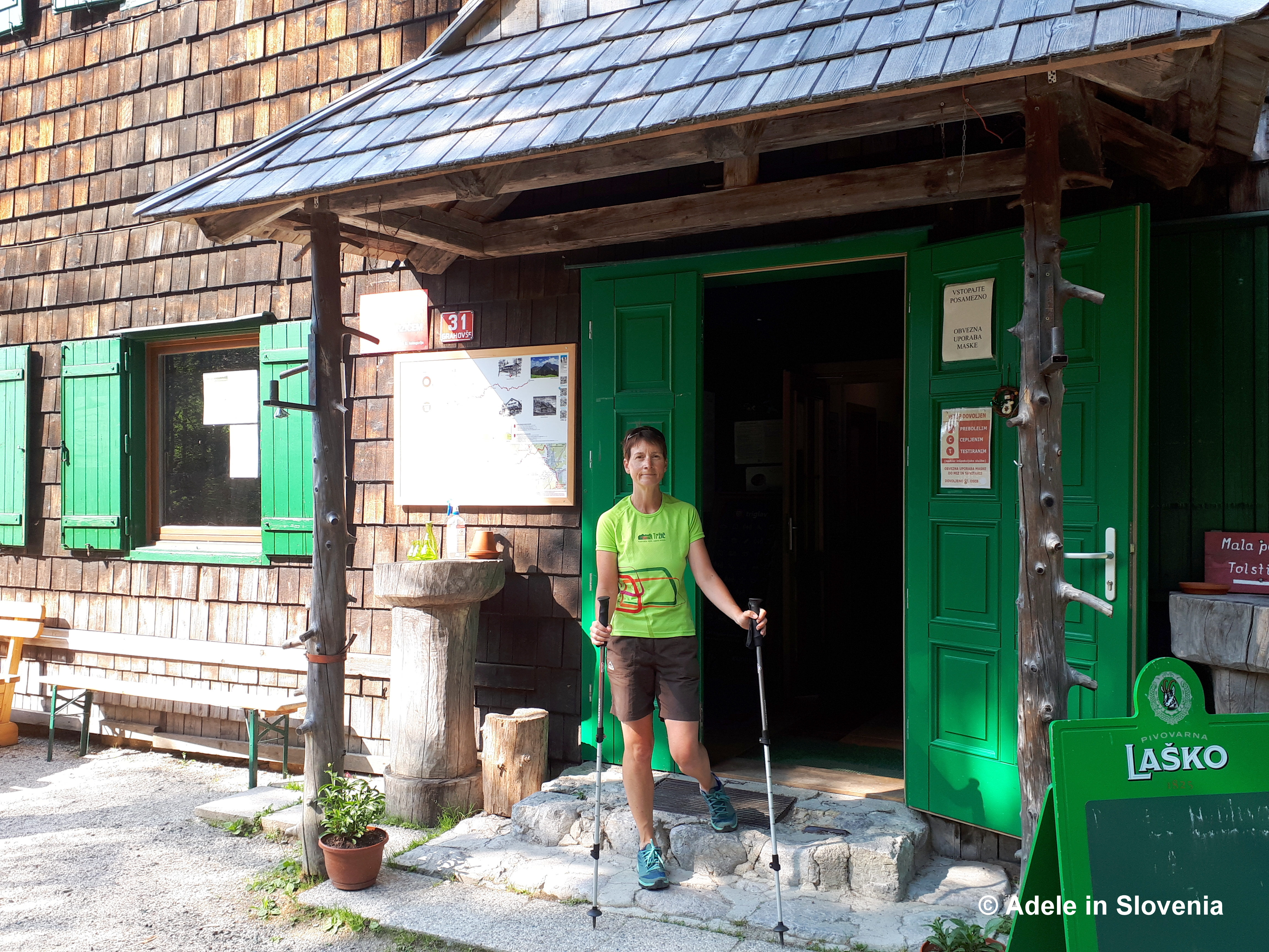
My trusty companion(s) for this trip were my friend Bernarda and her trusty companion Charlie – the dog. Since she lives in Tržič, Bernarda knows almost every inch of Mt. Dobrča like the back of her hand!

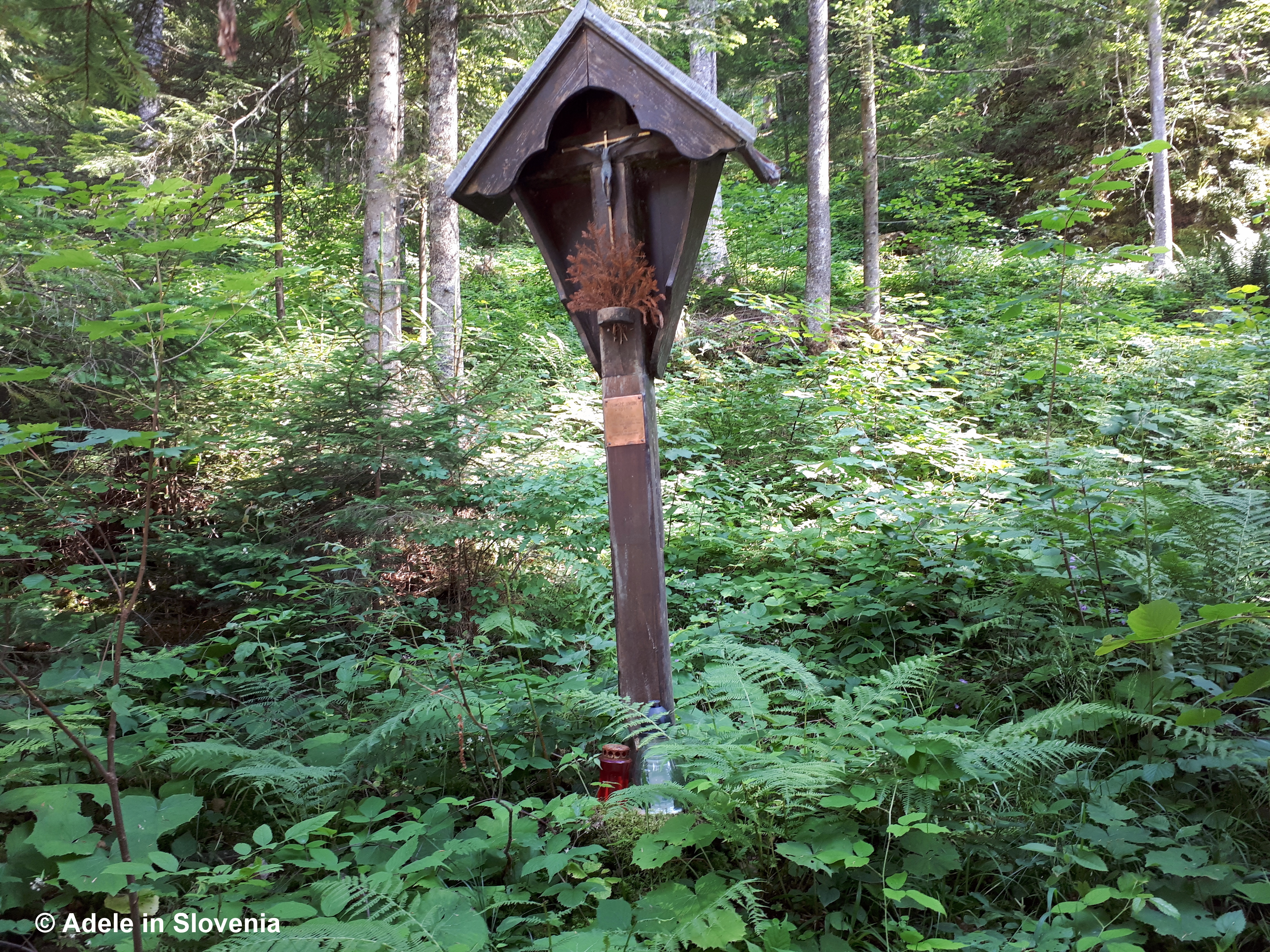
After a short walk up the road, you reach a junction, where either trail leads to the Koča na Dobrči mountain hut. We took the one to the right, as seen below.

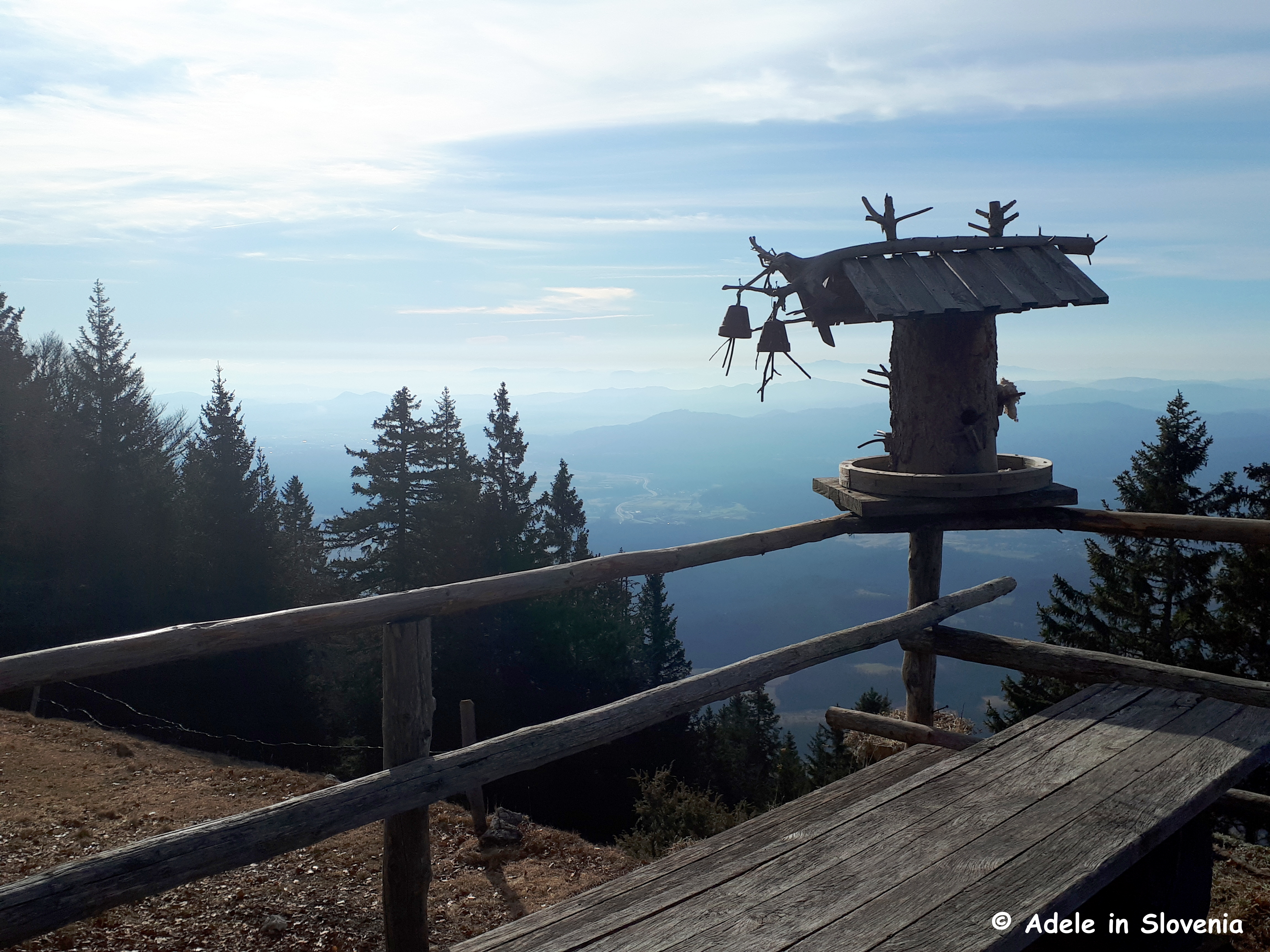
You soon reach an old water trough with the sign Razgledna točka, which you can follow for a few minutes to reach a viewpoint.

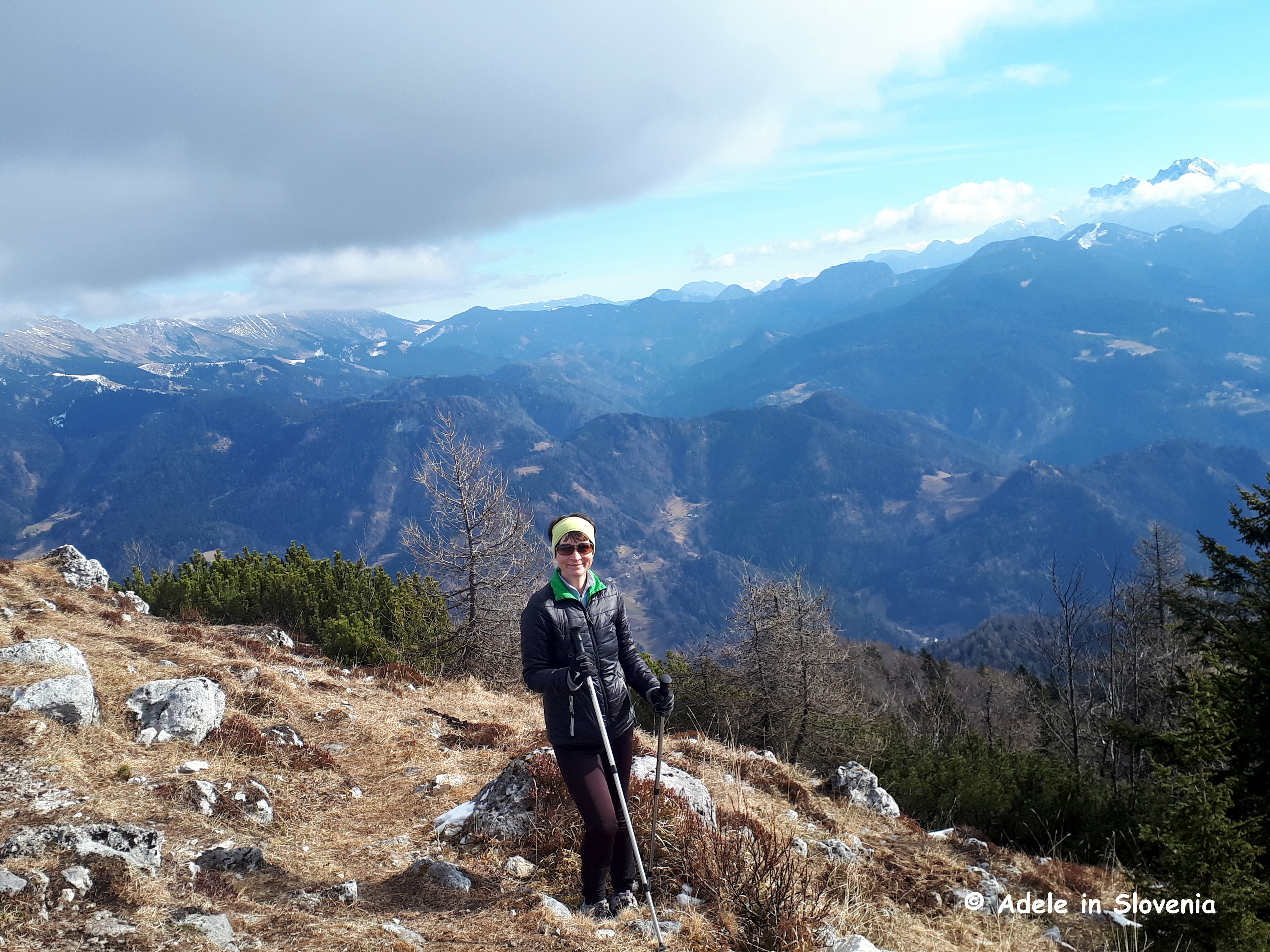
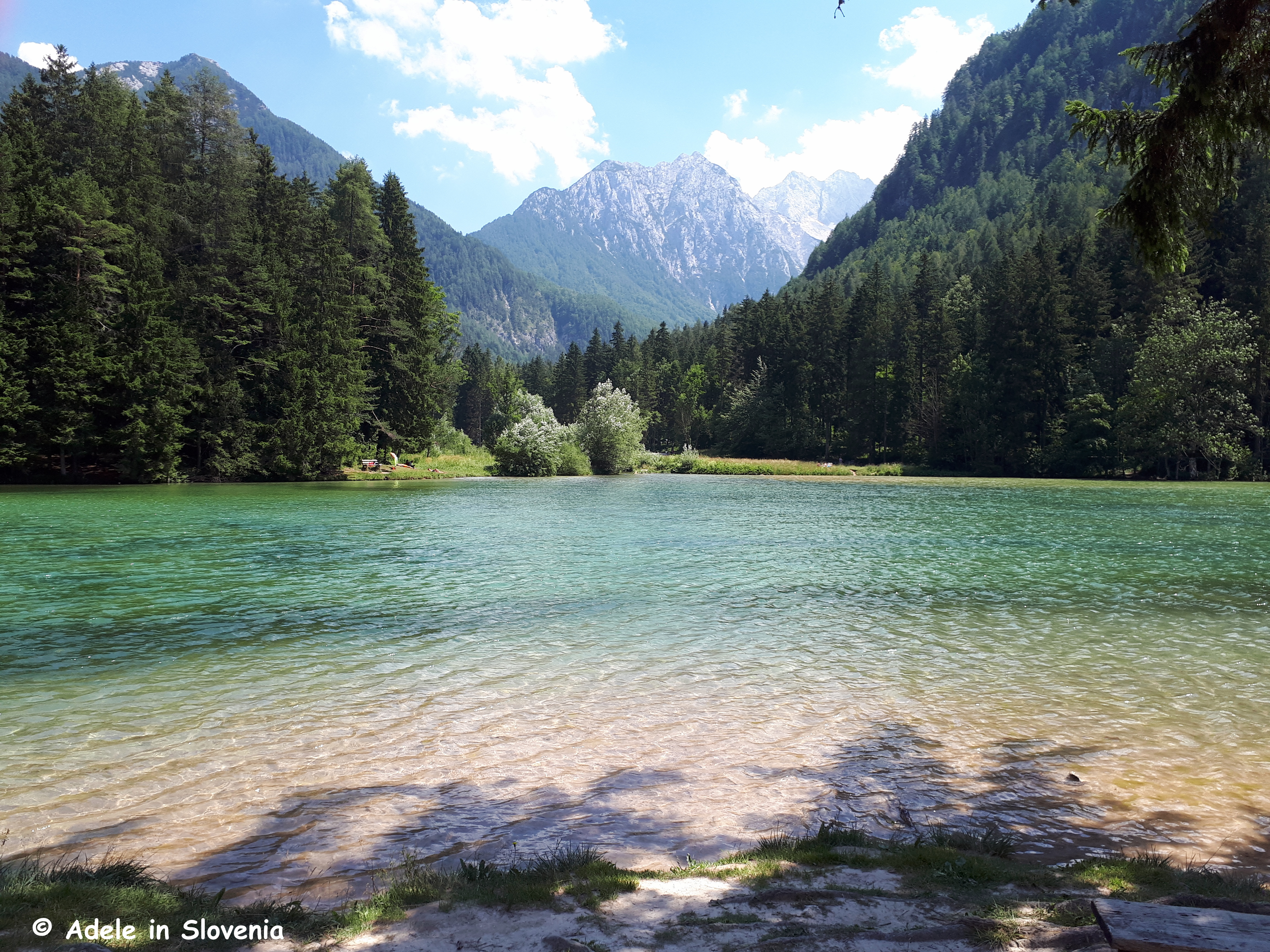
Return to the main trail and continue on the well-marked path that leads up through the forest before emerging onto a clearing, from where there are great views across the Radovljica Plains towards the Jelovica plateau and further.

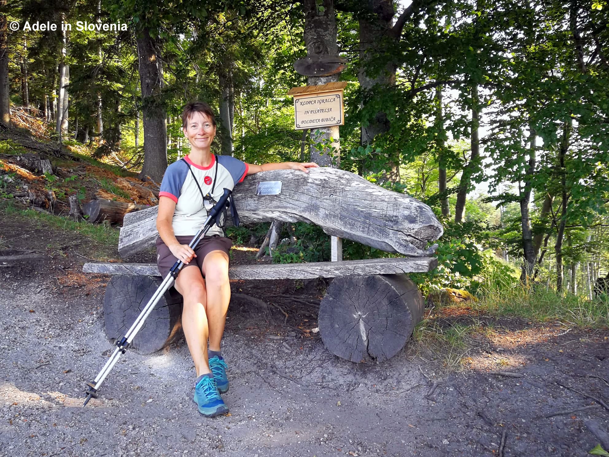
Here you can take a seat and soak up the views from the special bench dedicated to the stage and screen actor and author Polde Bibič, best known for his role in the film Cvetje v jeseni (Blossoms in Autumn), and the recipient of numerous awards and accolades.

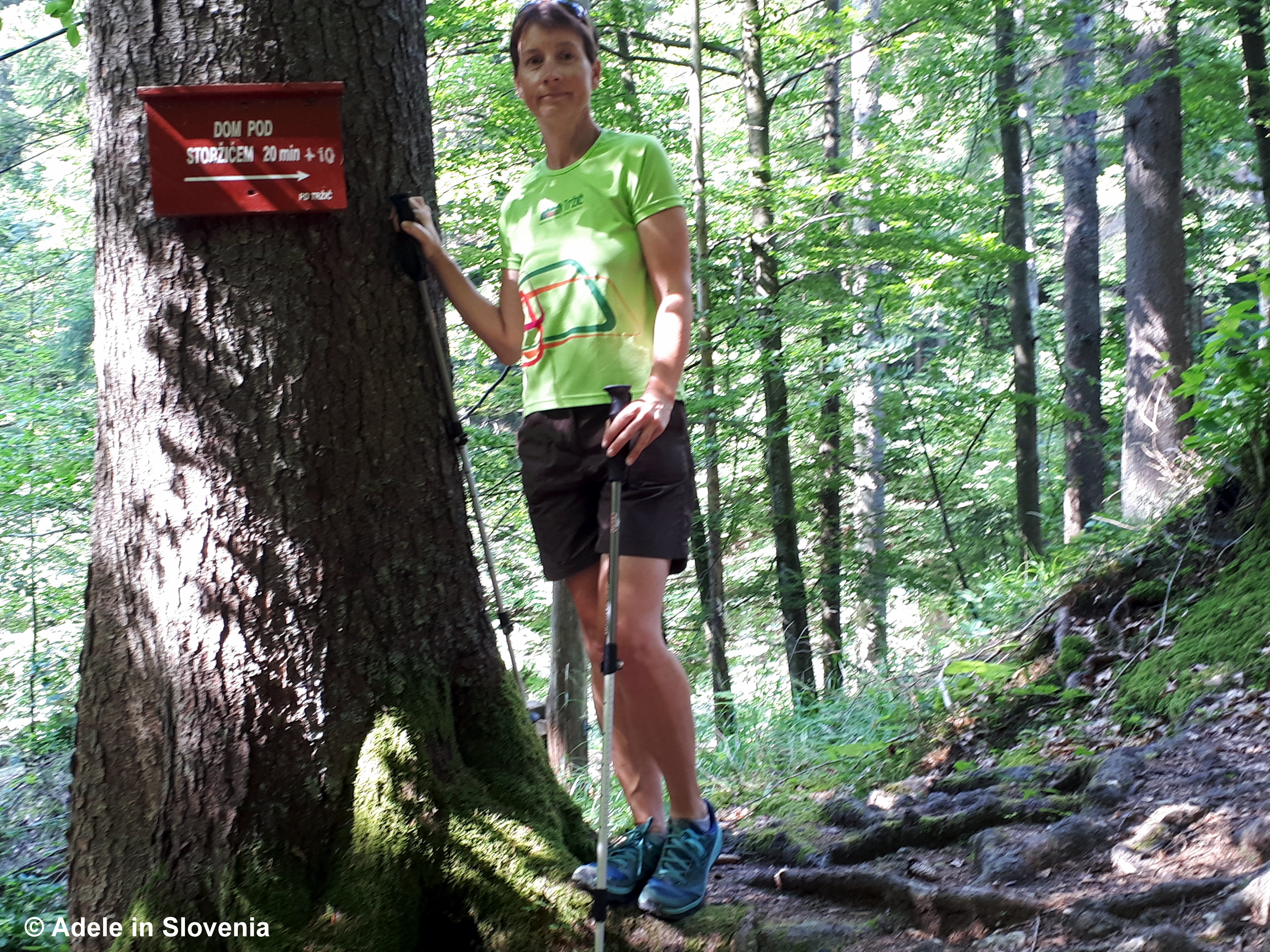
Continue upwards on the marked path towards Dobrča…

…and you soon get your first glimpse of the Lešanska planina mountain pasture (1,450m).

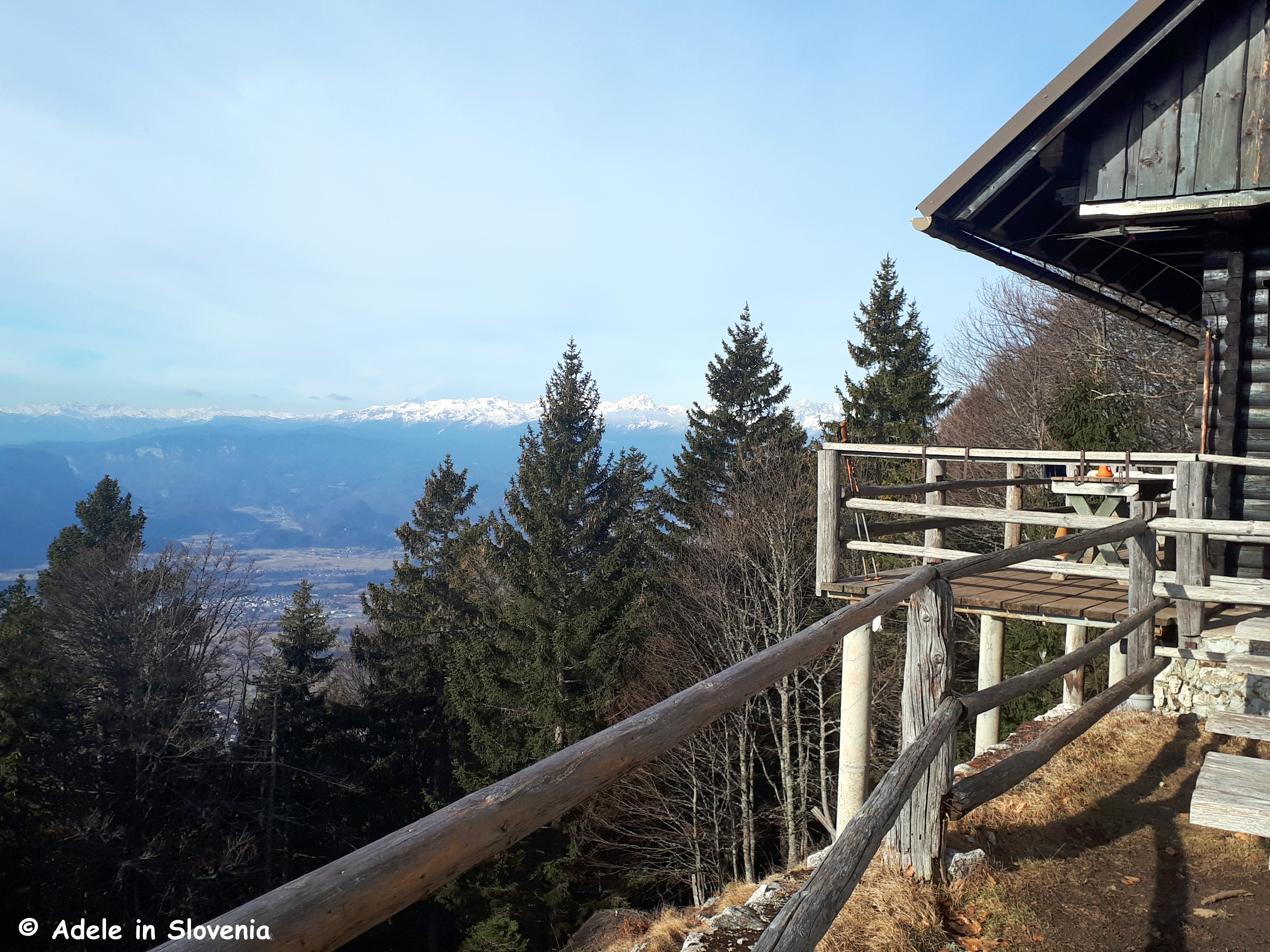
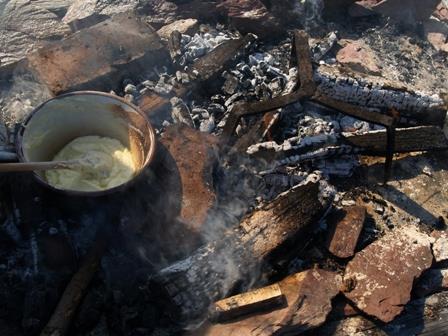
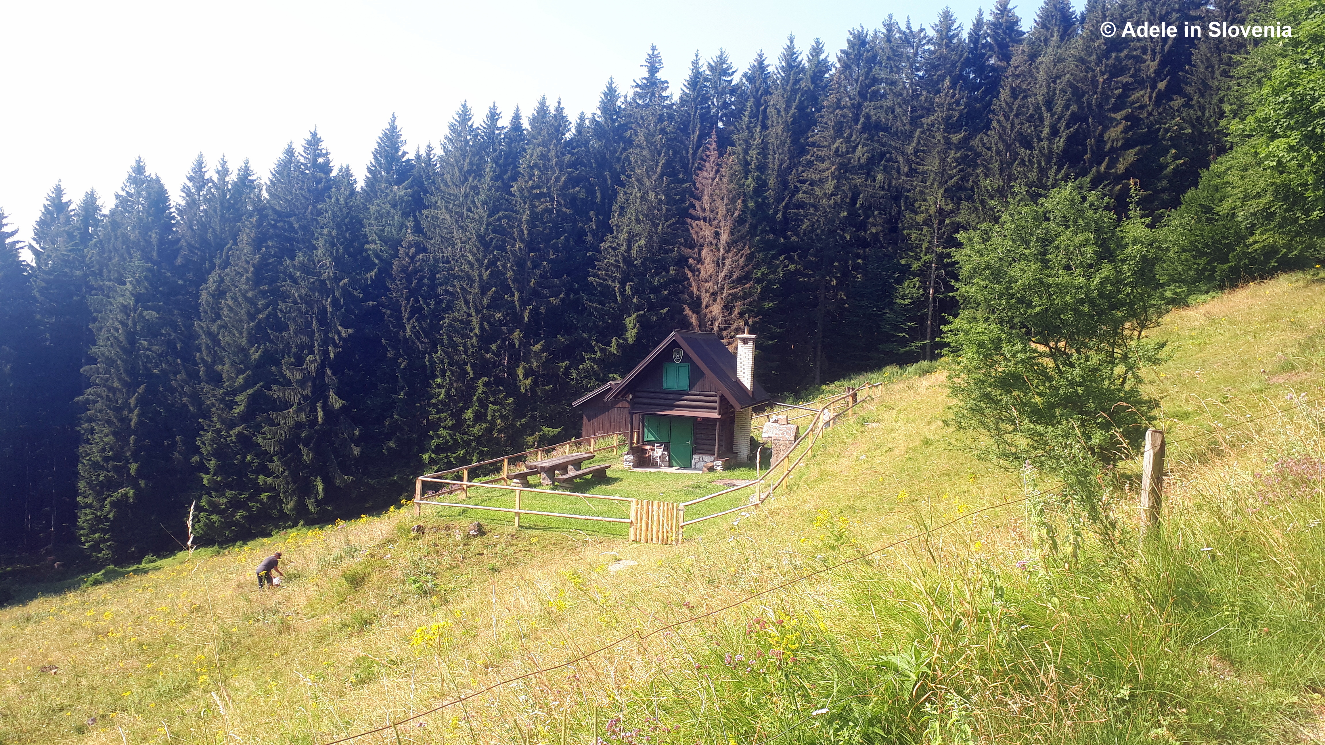
There is a herdsmens’ hut on the pasture where, in the summer grazing season, you can try sour milk, curd cheese and stews, as well as traditional Slovenian žganci and masovnik.

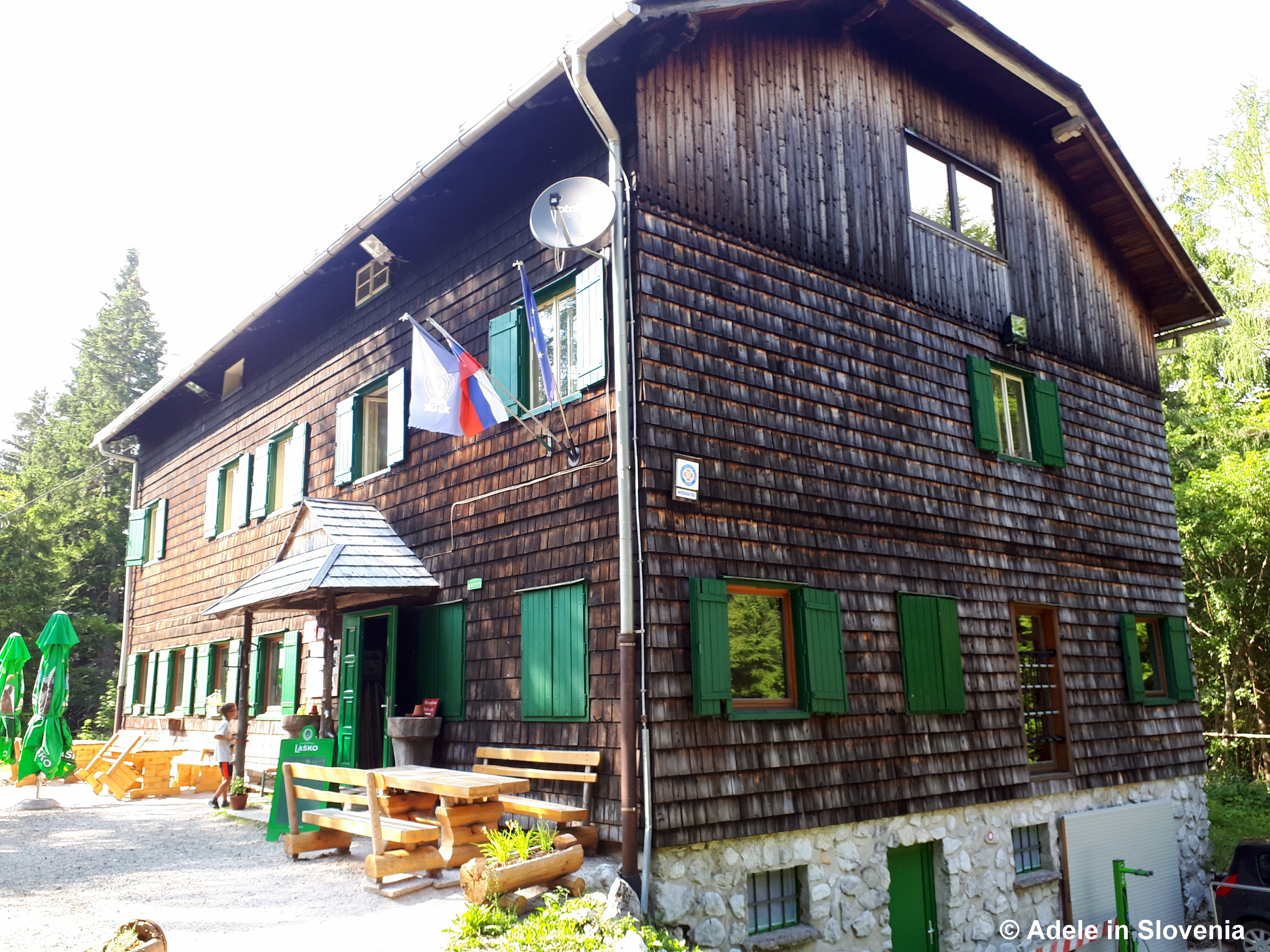
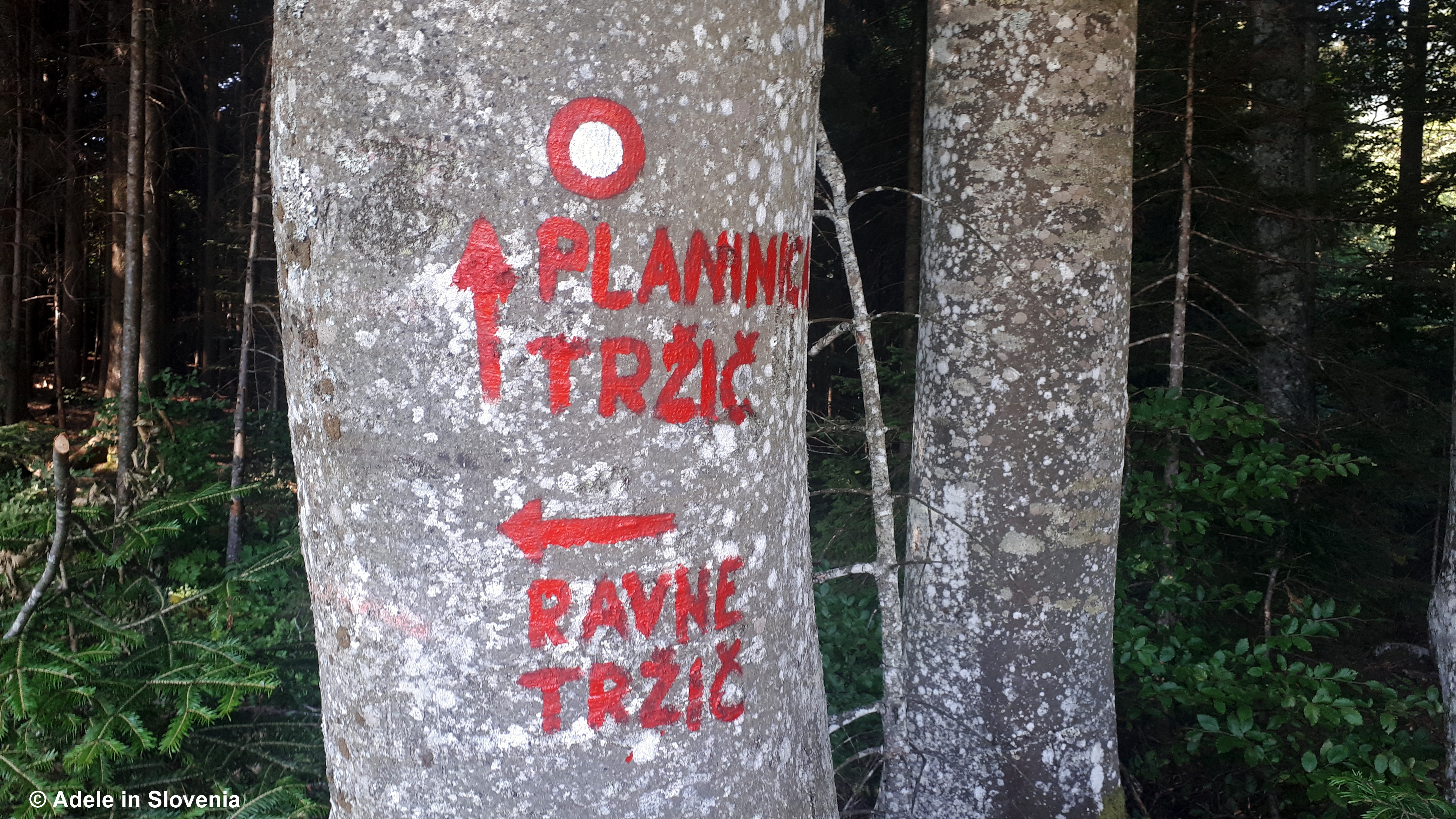
From the pasture you can continue up to the Koča na Dobrči mountain hut or, for a shorter hike, and if you want to do a circular route – you know how much I love a good circular route! – head back the same way, but only for a few minutes, past the Lešanska planina sign (as shown above) to the bend in the road then follow the road down until you reach a junction.

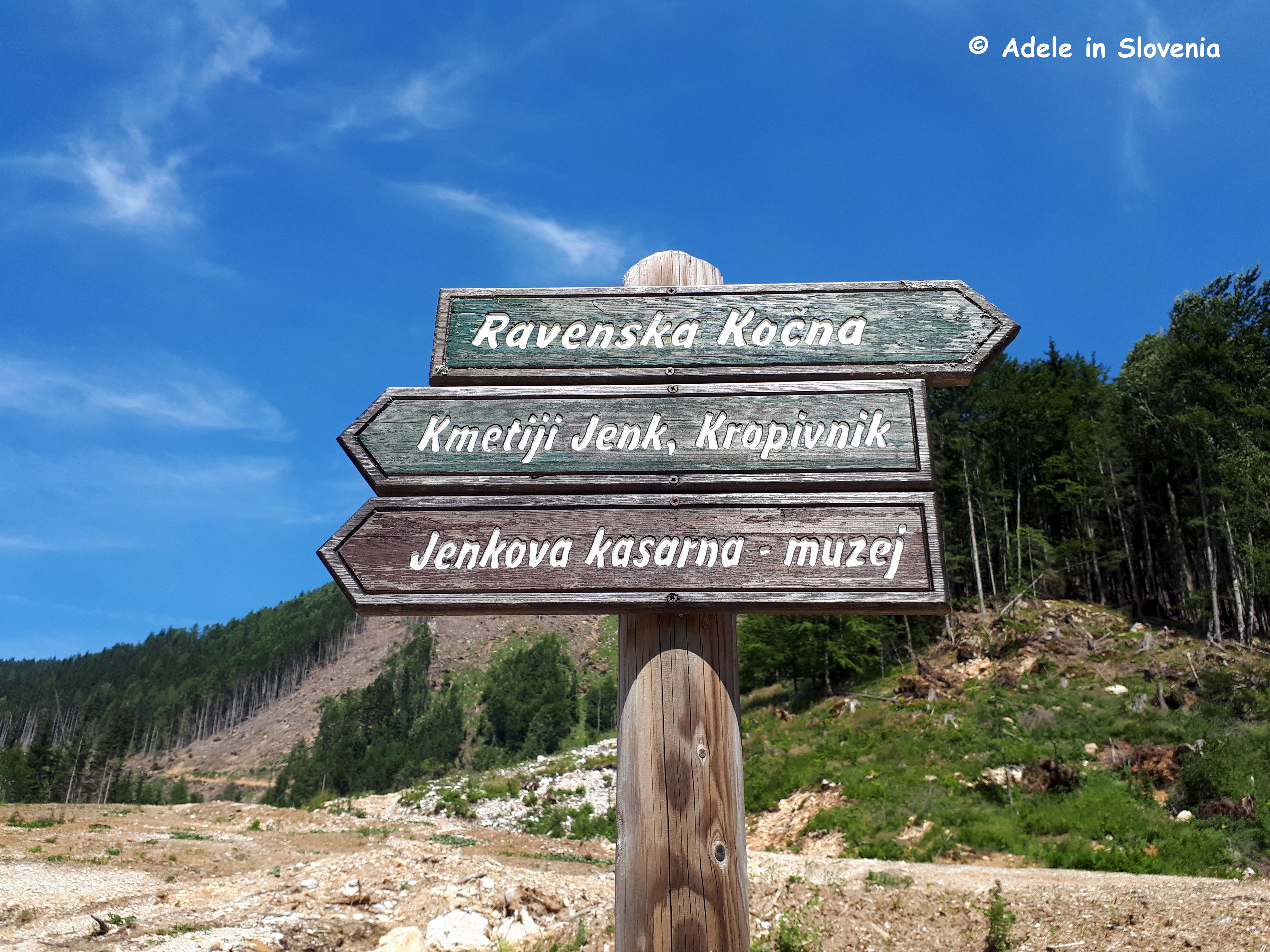
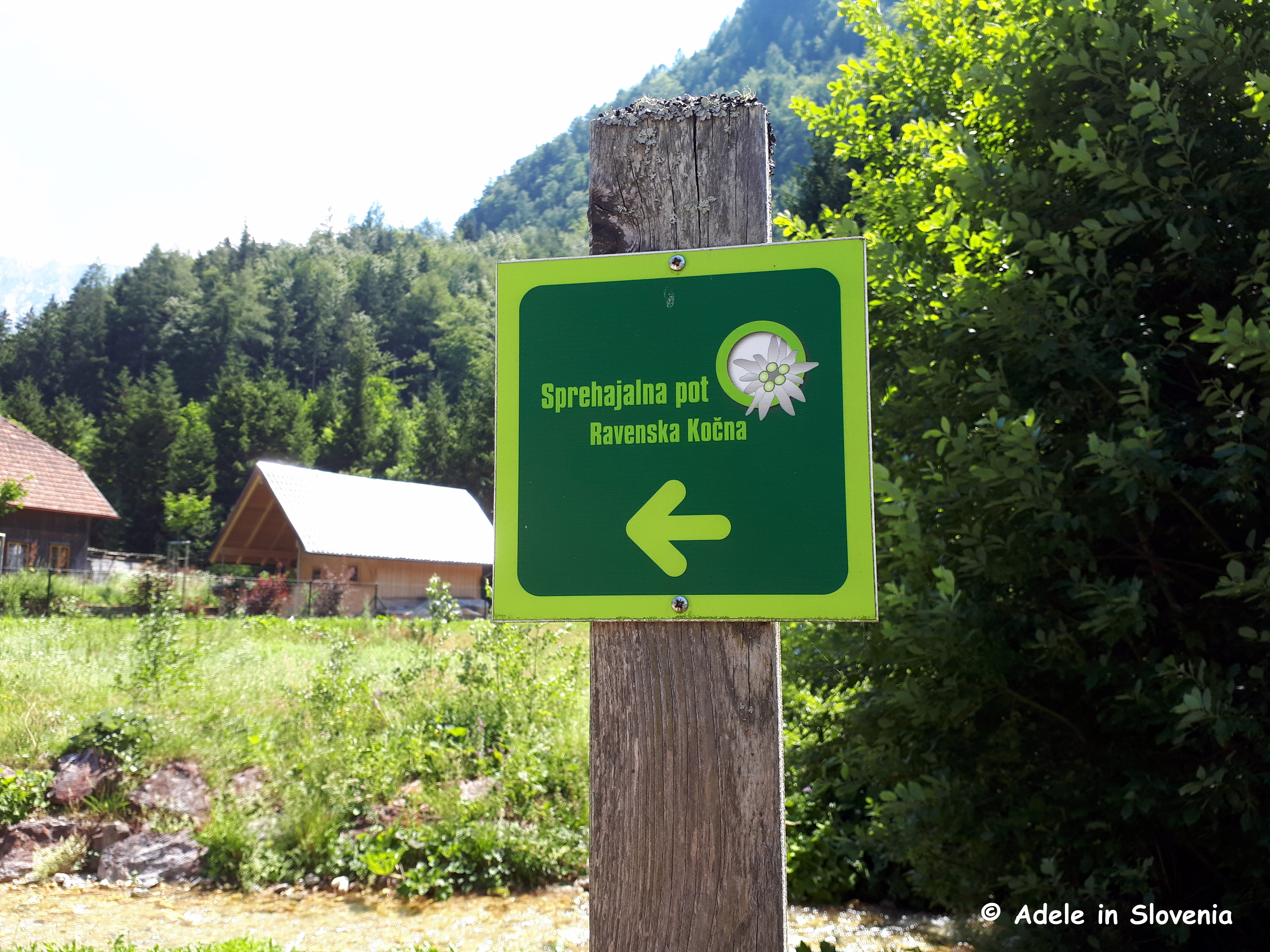
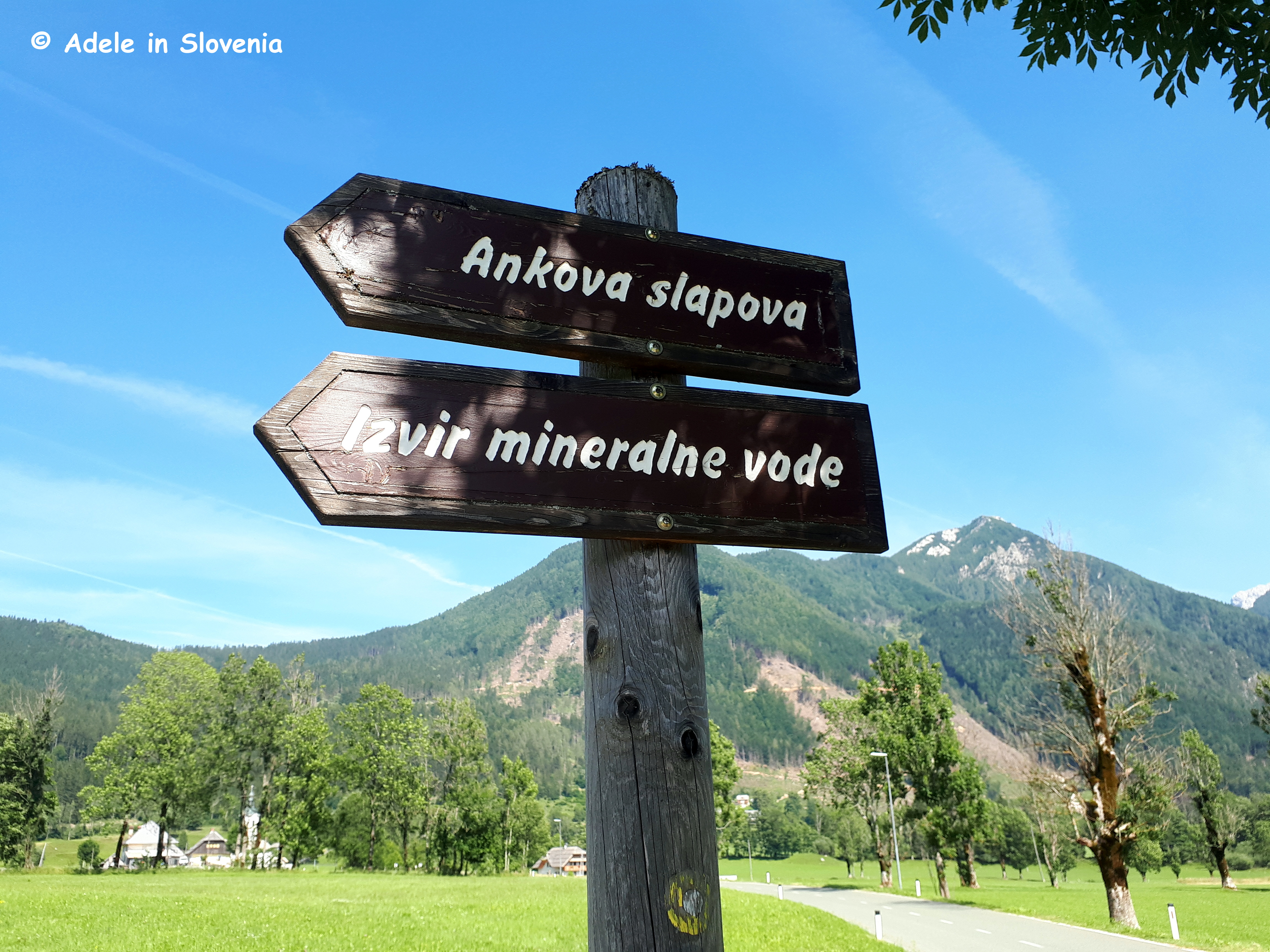
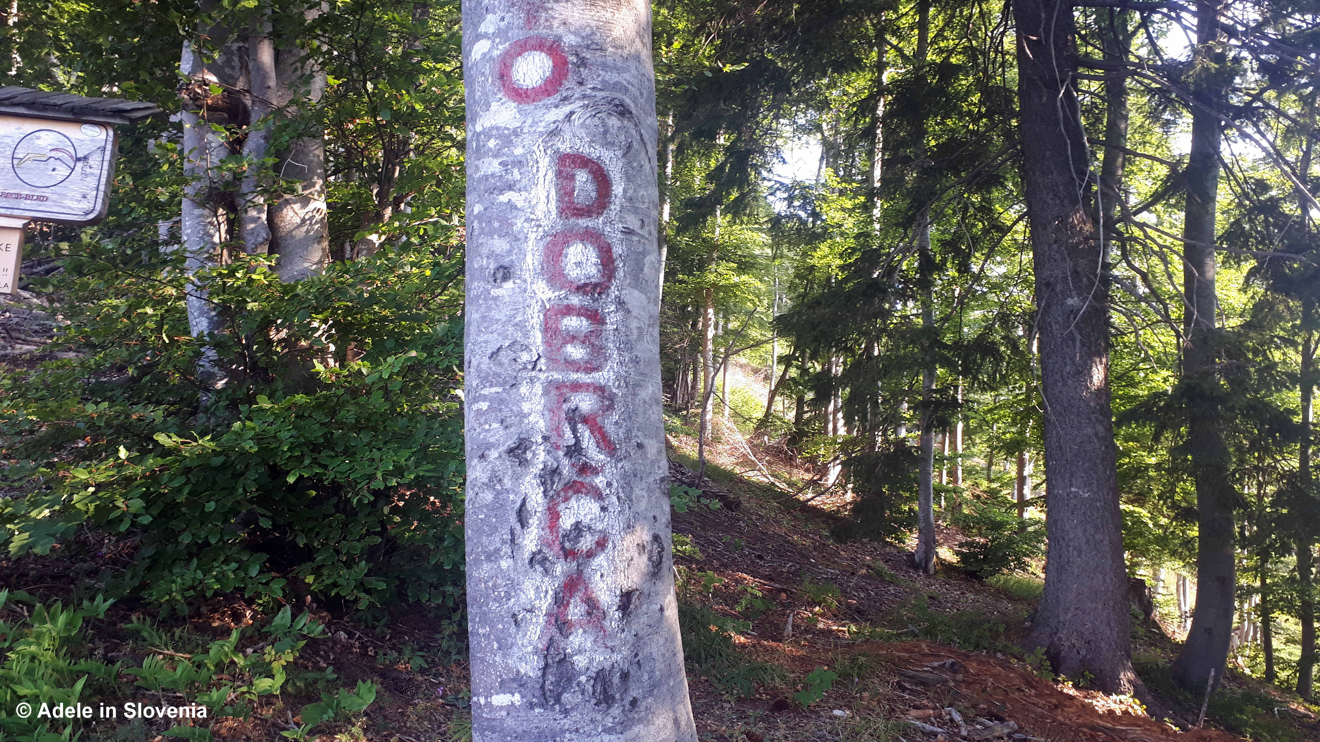
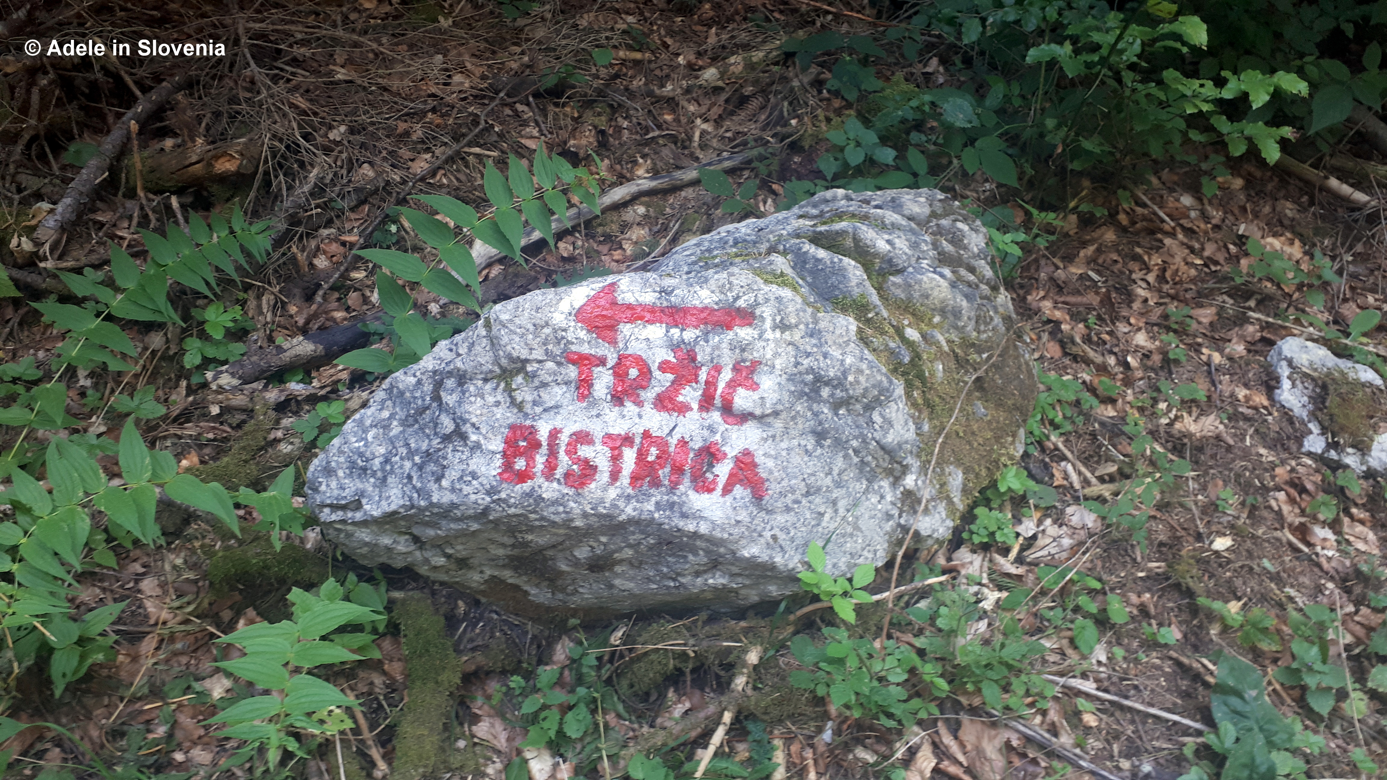
Here you can either continue down the road to return to the start or take the path to the left towards Tržička Bistrica, as shown on the stone below.

After just a few metres, keep a close eye out for a path to the right that leads into the forest, which you follow straight ahead then diagonally across a pasture.

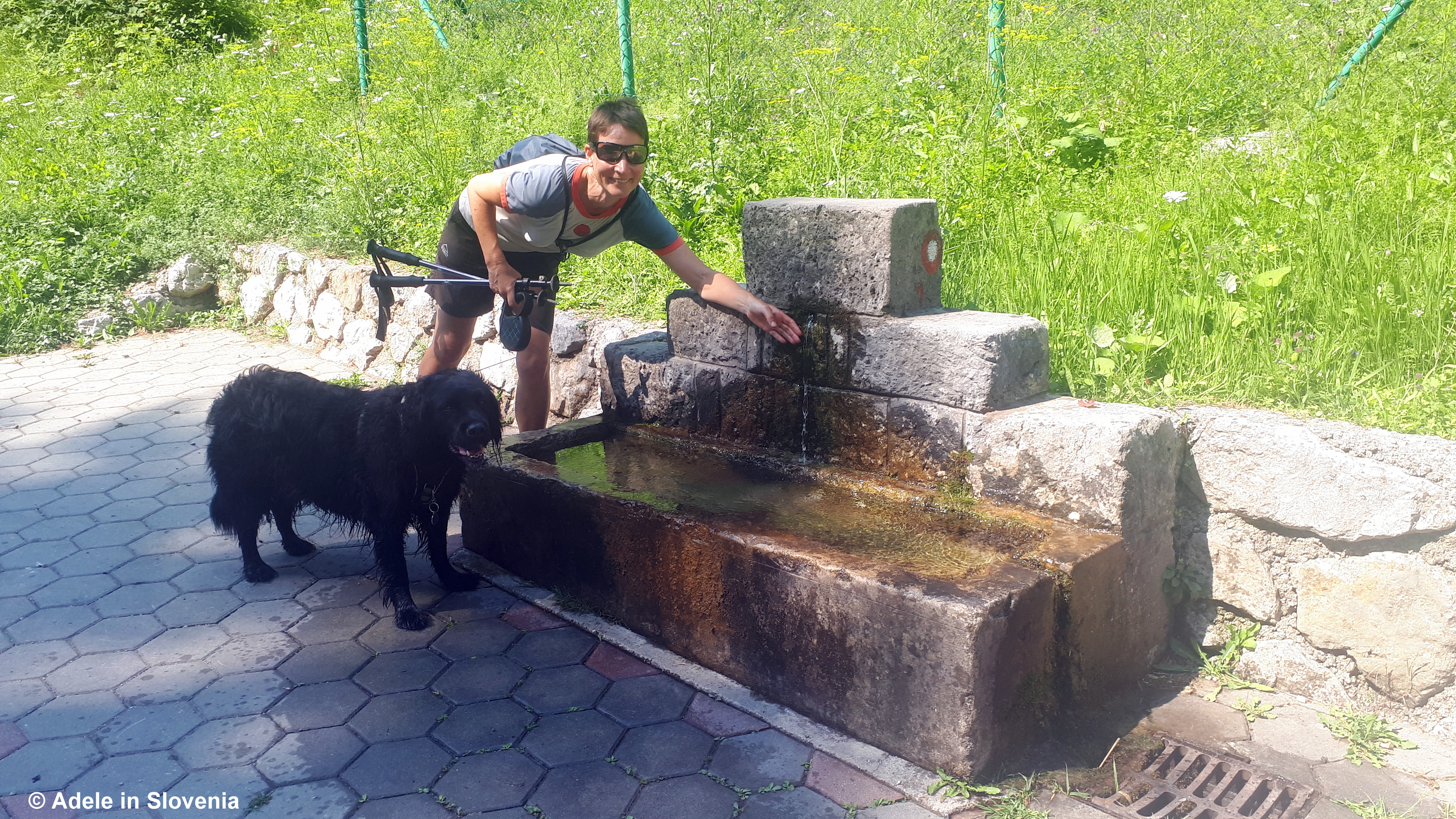
Keep following the marked path until you emerge onto the road close to a trough with drinking water, which both I and Charlie  took advantage of, particularly as Bernarda tells me that Tržič’s water is among the best in the whole of Slovenia.

So, this rounds off another great hike in the Tržič area. Click here to find out more about this and other hikes in the area.

© Adele in Slovenia


Hiking in Tržič – Dom pod Storžičem

Due to an ongoing vestibular problem (more on that later), for the past five months I haven’t been able to do the kind of adventurous hikes that I’m accustomed too. Fortunately, there are plenty of hikes of all levels in the hills and mountains in the area where I live. So, this time, I decided that, since I can’t scale the dizzy heights of Mt. Storžič itself, I can at least walk to the Dom pod Storžičem mountain hut (1,123m) beneath it and gaze up longingly at it, hoping that one day I might again be able to make it to the top of this, and other, mountains.

The walk from Grahovše to the Dom pod Storžičem mountain hut makes an ideal family walk. It only takes around an hour and isn’t strenuous.

To reach the starting point in the village of Grahovše, drive through Tržič in the direction of the Dovžan gorge (Dovžanova soteska) until you reach a road on the right that leads up to the hamlet of Slap. Note: if you don’t have a car, you can start the walk here, and you should allow an extra hour or so to reach the mountain hut.

Follow the road up to the idyllic village of Lom pod Storžičem, with its imposing church.

Drive onwards to reach the village of Grahovše, where you will see a large gravel parking area on the left-hand side. Although it is possible to continue further by car, the tarmac road turns into a track, and there is also a notice opposite the aforementioned parking area, requesting that visitors kindly park in the allocated parking area, thus respecting life for the villagers and helping to preserve nature.

After just a few hundred metres you reach a junction and a signpost to the left marked Dom pod Storžičem. Follow the dirt road and you will soon get your first glance of majestic Mt. Storžič (2,132m) – the highest mountain in the western part of the Kamnik-Savinja Alps.

Continue on the road adjacent to the stream for around 10-15 minutes, passing a source of fresh water (on the left) and a somewhat hidden shrine (on the right).

On reaching a junction, you can either continue on the road (the longer, less scenic route) or take the right fork uphill (the more direct, scenic route). The latter soon leads up over a pasture with a few scattered wooden huts.

A short, steep incline awaits then, before you know it, you’ve reached the mountain hut.

From the hut, those wanting a longer, full-day hike, have several options. You can hike to the top of Storžič (cca. 3 hours from the hut), but note that part of the route is considered demanding, so only experienced and well equipped hikers should tackle it, or up to Tolsti vrh (cca. 2 hours from the hut), among other options.

If, however, the hut itself is your destination, then sit back and enjoy a drink and/or snack before heading back to the valley. The strudel looked delicious, though, of course, not gluten free so I could only look on. Note: in order to be able to sit indoors the hut, you must have proof of being double vaccinated, or have a negative COVID-19 test, or proof that you have recovered from the virus in the past 6 months. There are no restrictions on sitting outside the hut.

Click here for more information about this and other walks in the Tržič area.

Finally, as I mentioned above, without wishing to whinge in public, I feel I owe it to regular readers and followers of my blog, particularly those that use it as a source of reference/inspiration for hiking in Slovenia, to write a short word about my current ‘problem’ (since I’m not even sure what to call it). At the end of February this year my world changed, when I thought there had been an earthquake, but it turns out it was something going on in my head, i.e. my inner ear. Since then I have felt as if I’m on a boat on rough seas 24/7, with the world swaying and rocking around me, and the accompanying feeling of sea sickness. I’ve seen 7 doctors/specialists, had scans and various tests, and even tried several types of alternative medicine, but all to no avail. To the outside world I look fine, but, believe me, inside my head it’s a living nightmare, which I wouldn’t wish on my worst enemy, and it’s something no one can possibly understand unless they have had vestibular-type issues. Therefore, with little to no balance, my adventurous outdoor pursuits are currently resigned to those of someone twice my age, but I’m trying (though not always succeeding) to remain optimistic, and keep as active as I can. And on that note, until next time…

© Adele in Slovenia

Hike and Dine on Dobrča!

The ‘green’ and relatively dry winter continues (though as I write, snow is forecast this Wednesday – yikes!), so, even if the weather is slightly cloudy as it was for our hike, you can enjoy a great hike to Dobrča to enjoy the views, the spring (in winter!) flowers, and the great food at the mountain hut!

I was surprised when I first discovered that Dobrča is actually part of the Kamnik-Savinja Alps, not the Karavanke mountains as its position leads one to believe. Dobrča stands in a prominent position between Begunje na Gorenjskem and Tržič and can be reached on marked paths from numerous directions, among them those from Slatna (from the Begunje side), and Brezje pri Tržiču, Hudi Graben, and Srednja vas (from the Tržič side).

We were accompanied by spring flowers most of the way, which, in winter really bring a smile to the face!

Depending on which path you take, it takes around 1.5-2.5 hours to hike up steeply through the forest to reach the Koča na Dobrči mountain hut (1,478m).

However, my advice is not to stop there (yet!) but rather to continue to the top (look for the signs that say ‘Vrh’), which takes around 30 minutes from the hut.

However, at the top itself, 1,634m, the views are fairly obscured, so, don’t stop there either (yet!)… having made it that far you simply must continue another 5 minutes or so to the Šentanski vrh viewpoint…

…where you are richly rewarded (even on a slightly cloudy day!) with views to the east of Tržič and the surrounding settlements, as well as the surrounding peaks of Storžič, Kriška gora, and the longest mountain in Slovenia, Košuta, in the background!

Then, having built up an appetite and as a ‘reward’ for your efforts, head (back) to the mountain hut for some sustenance! There’s plenty on offer including various soups, stews and sausages and, for the sweeth-toothed, štruklji, pancakes and strudel.

No photo description available.

From the hut there are views of the snow-capped Julian Alps to the west, and towards the Ljubljana basin and, on a clear day, beyond, to the east.

This is just one of many great mountain hikes in the Tržič area, many of which I have already blogged about and some that I still have in store for this year!

© Adele in Slovenia

A Jaunt Through Jezersko!

I have already written several blogs about Jezersko, mainly about what a wonderful destination it is for hiking in the Kamnik-Savinja Alps. However, the valley itself also has plenty else to offer, including easy walks, a beautiful lake, a mineral water spring, a waterfall, museums, monuments and other historic buildings.

So, join me on a jaunt through Jezersko, and this time no hiking boots required!

If you plan to walk the valley in its entirety, a good place to start – and to park – is at, or near, the Jezersko Tourist Information Centre. From there, pass a monument, cross the road and then cross the bridge.

Turn left after crossing the bridge to join the path alongside the Jezernica stream.

It’s not long until the valley begins to open up to reveal magnificent views of the surrounding peaks of the Kamnik-Savinja Alps.

Follow the path for around 25 minutes to reach the beautiful Planšar Lake (Planšarsko jezero).

You can take a refreshments break at the Gostišče ob Planšarskem jezeru restaurant, which is known for its traditional food and especially desserts such as kremšnita (cream slice).

Then walk around the lakeshore – in either direction – to join the Ravenska kočna theme path. The path branches off the tarmac road to the right at the junction seen in the photo below. It is well marked and easy to follow.

After about 20 minutes walking on the gradually rising gravel path, you reach a clearing and a pasture, from where there are magnificent views.

You can continue to the head of the valley, which takes another cca. 30 minutes and is worth it for the views alone. Or, if you would like to continue exploring Jezersko, on returning, instead of walking back towards the lake, follow the tarmac road towards Jenks barracks (Jenkova kasarna).

Along the way you can stop for a rest and a read at one of the free book stops!

The building dates from the 15th century when it was used as a boarding house for merchants travelling from Tržič (in Slovenia) to Eisenkappel (in Austria) and onward.

During Slovenia’s short battle for independence, the barracks, which nowadays contain an ethnographical museum collection, once housed a secret stash of weapons. The plaque on the outside of the house – as seen below – is a thanks for brave actions on the independence of Slovenia.

Should you want to visit the museum, contact the Jezersko Tourist Information Centre which can make the necessary arrangements.

After passing the barracks, continue slightly upwards until you meet the main road that leads upwards towards the border with Austria – the Pavlič pass (Pavličevo sedlo). Turn left and walk back towards Jezersko towards St. Andrew’s church (sv. Andrej).

On reaching the church, at the junction you can either turn off the main road to return towards the Planšar lake or make a(nother) side trip to visit a mineral spring and waterfall. If you choose the latter, follow the main road past the church for around 5 minutes before turning right at the sign below.

The water that springs from the Jezerska slatina mineral water spring is known to contain magnesium content of all mineral waters in Slovenia. It is said to be beneficial for a range of ailments and diseases, particularly cardiovascular-related.

I must admit I was surprised to discover that it actually has a very pleasant taste and is lightly carbonated; some such natural mineral waters I have tried elsewhere have a somewhat metallic or bitter taste, but this one doesn’t, though one should be careful not too drink too much. The information board behind the spring gives more information and advice about how much can be drunk.

You can continue past the spring to reach the Ank waterfalls (Ankova slapova). To reach the falls, walk past the Ank homestead (Ankova domačija) and follow the signs upwards into the forest.

There are two small waterfalls that, one after another, drop 7 metres.

So, that wraps up my jaunt through Jezersko. I hope you will follow in my footsteps and visit, whether for a short jaunt, a longer hike, or an even longer stay!

© Adele in Slovenia


Jezersko – Scenic, Tranquil and a True Hiker’s Paradise!

Achingly beautiful and tranquil, Jezersko boasts a wide range of challenging hiking trails as well as easier walks, scattered farms and homesteads, picture-perfect scenery, and no traffic jams. tourist traps or crowds. Add into the mix friendly locals, traditional food and more, and Jezersko is the place to be!

Jezersko really is a hiker’s paradise and a haven of peace for those looking for a total escape from the day-to-day, whether you visit for an active break or just for some much-needed rest and relaxation.

The village lies at an altitude of 906 metres above sea-level at the foot of the Kamnik-Savinja Alps and the Karavanke range and is Slovenia’s first, and indeed only, true mountaineering village. It is one of the villages included in the Bergsteiger Dorfer Association of Mountain Villages, which is no mean feat when you consider that all the other villages are in well-known mountainous areas, such as Bavaria and Tyrol.

The Jezersko Mountain Trail is ideal for those seeking some challenging hikes. You can walk the entire trail, staying at mountain huts along the way, or choose sections for shorter hut-to-hut routes or just pick and choose day hikes – the choice is yours!

For my recent hike I decided to choose a circular route (yes, you know me and my penchant for circular hikes!) which first leads to the Ceška koča mountain hut (1,543m), then onward to the Kranjska koča na Ledinah hut (1,700m).

The trail, or rather many trails, begin at the car park at the end of the Ravenska kočna valley, where there are information boards about the valley and the various trails and attractions.

There are a choice of trails that lead up to the Ceska koca hut, including a via ferata trail for those looking for extra adventure. I chose the trail that leads off to the right of the car park, first for around 5 minutes on the flat before leading up steeply through the forest to the Stularjeva planina mountain pasture.

Thereafter the trail continues up to the hut, with a few hurdles to encounter en-route, though nothing technically difficult. In total it takes cca. 1.5 hours.

In addition to its fantastic location, what makes the Češka koca mountain hut unique is that it was built in 1900 by the Prague-based Czech branch of the Slovene Mountaineering Association, after which the hut was named. It has been renovated many times over the years but has retained its original appearance.

You are spoilt for choice with onward routes from the hut. Many of Jezersko’s mighty mountains such as Grintovec, Skuta and Kočna can be reached in 3-4 hours, or you can continue, as I did, towards the Kranjska koča na Ledinah hut, from where there are also numerous onward hikes.

There is a choice of 2 routes between the two huts, however, at the time of writing (July 2019) the ‘skozi Žrelo‘ trail, which is considered ‘very demanding’, is closed – not that I had intended to take it anyway! The alternative route first descends to join the ‘Slovenska pot‘ (The Slovene Trail). In places the path is narrow and there is a steep drop, but there is iron railing and foot rungs in the most exposed places.

After descending for cca.15 mins, the trail joins the ‘Slovenska pot’ and begins to ascend steeply. There is one section – quite a long one – where there are iron rails and rungs and therefore extreme caution is required, but, credit where its due, the trail is well maintained and secure.

Unlike the Ceška koca hut, it can’t be said that the Kranjska koča hut is anything to look at, and in fact due to its position its almost impossible to get a good photo of it as one can’t get far enough from the hut to capture it. It is, however, a good base for onward hikes and/or for having a breather before returning to the valley.

Almost all the onward trails from the Kranjska koča na Ledinah hut, such as those to Koroška Rinka and Kranjska Rinka are marked as ‘very demanding’ (zelo zahtevni poti), so are only suitable for those with significant mountaineering experience and proper equipment.

Not being one for such adventurous challenges, I descended back to the valley on the much easier Lovska pot (Hunters’ Trail), which makes for a perfect circular half-day hike. The path leads directly back down to the car park in around 1.5 hours.

There are also numerous easier hikes and other attractions and activities in the Jezersko area, so there’s something for everyone – more about which in another blog post soon! In the meantime, a great way to find out more about the village and immerse yourself in its local culture is to attend a performance of ‘The Stories of Jezersko‘ (Jezerske štorije), which takes place on Fridays during July and August at Jenk’s Barracks (Jenkova kasarna).

And another way to learn more about Jezersko is to taste some of its traditional cuisine. A good place to start is at the beautiful Planšar Lake (Planšarsko jezero), where on Saturdays at 5pm throughout the summer you can attend a demonstration of cooking the local dish ‘masunek’ over an open fire.

While I, in fact no one, can guarantee the weather – a glorious morning was forecast for the day of the hike described above, however, as is evident from the photos, the mountain tops were largely shrouded in cloud for much of the hike – in Jezersko you can, however, be assured of wonderful nature, peace, friendly locals and a break from the hustle of bustle of life. But don’t just take my word for it…!

© Adele in Slovenia