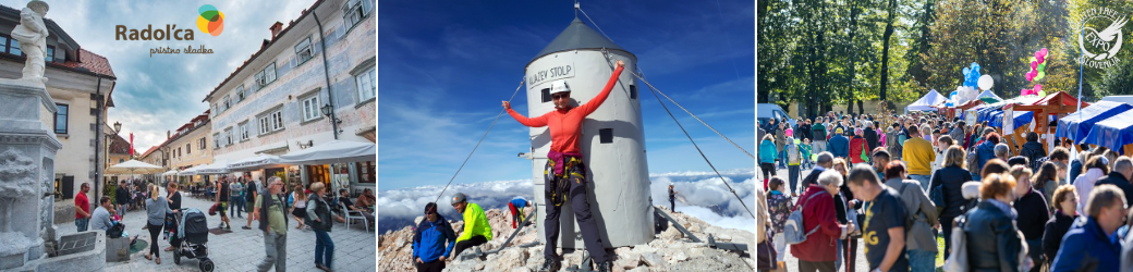
The Juliana long-distance hiking trail covers a total of 270 kilometres in 16 stages, one of which runs through the Radol’ca area.
Though marketed as ‘new’, no new paths or infrastructure were actually built in putting together the trail, rather what it does it nicely link together existing trails and paths whilst taking in picturesque valleys, meadows, plateaus, towns and villages in and around the Julian Alps and provides information on where to stay and what to see and do along the way.
The trail hasn’t been designed for those seeking to bag summits, rather for those wishing to see and experience the beauty and diversity of Slovenia’s alpine landscape without having to be an experienced mountaineer. That doesn’t, however, mean that its to be taken lightly, as some sections of the trail involve some significant altitude gains (the highest point reaches 1,819 metres above sea-level), but it is not technically demanding.
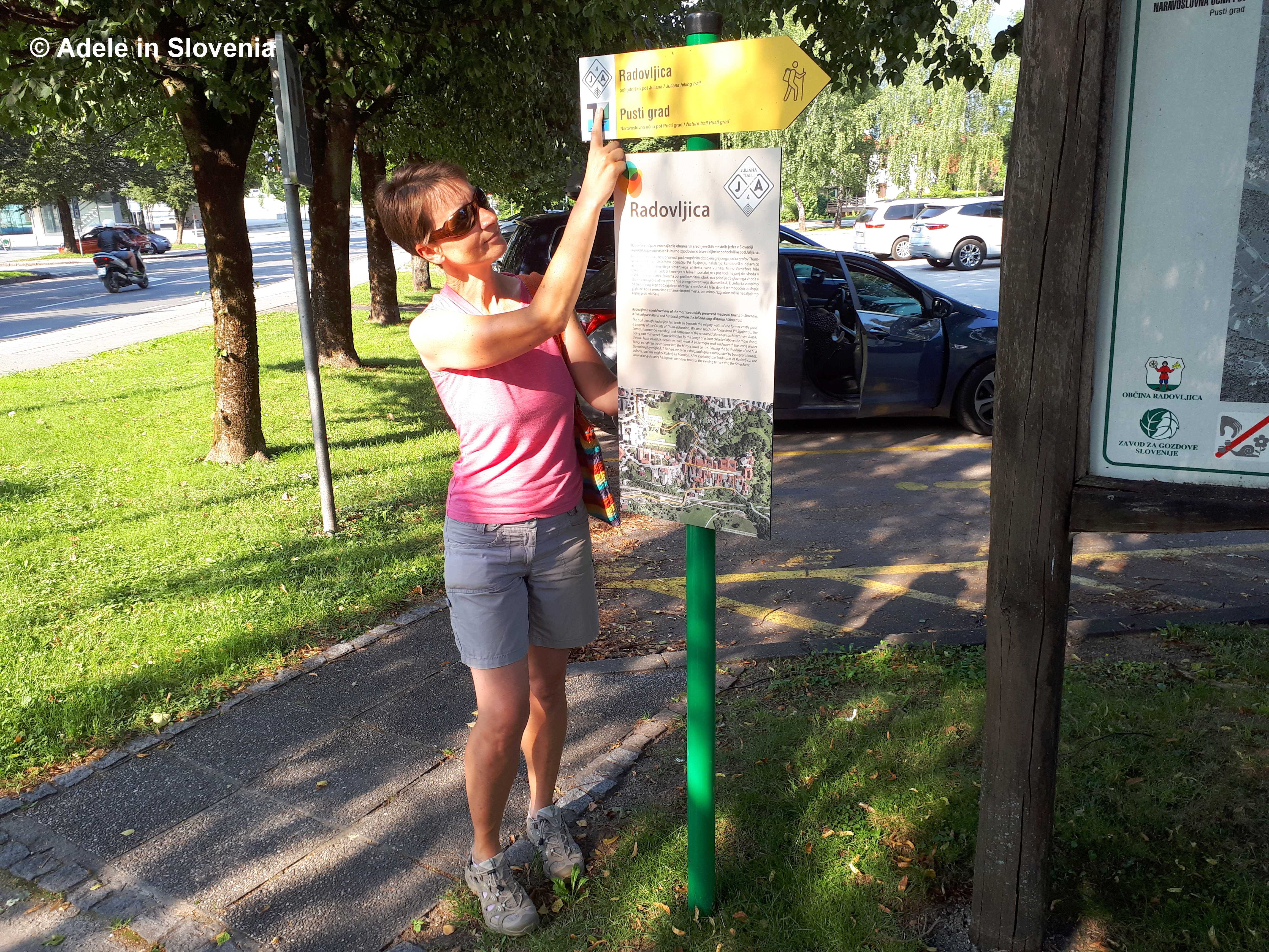
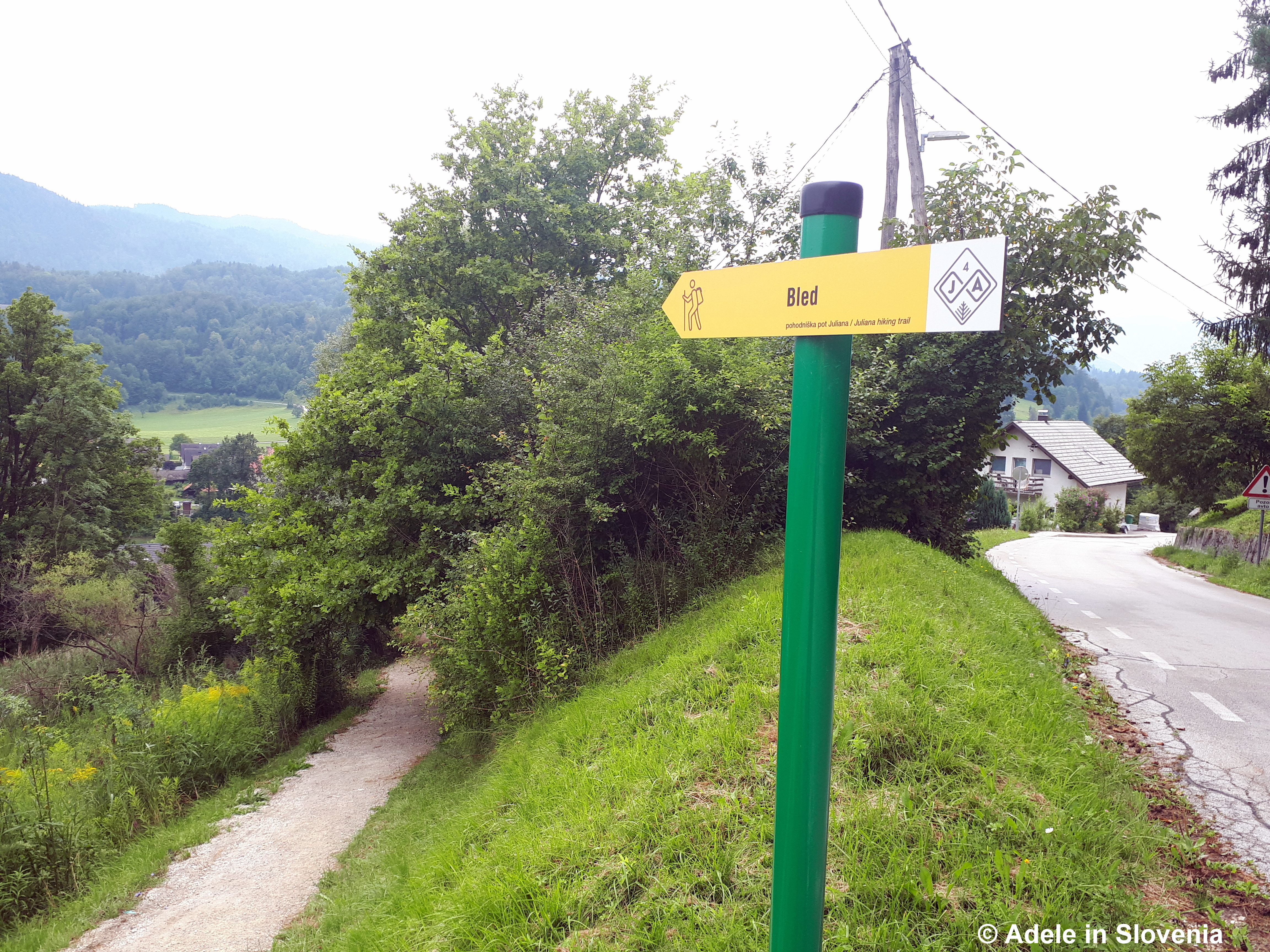
You can choose to walk the entire trail, or just select the sections that are most appealing. Each section of the trail is numbered and is shown by yellow (occasionally also white) signs showing JA and a number – 4 in the case of the Begunje – Bled section of the trail.

The trail begins and ends in Kranjska Gora from where it leads to Mojstrana and Jesenice before reaching Begunje na Gorenjskem, which is the stage described here.
The first part of stage 4 begins next to the tourist information centre in Begunje na Gorenjskem.

From there it runs through the villages of Gorica and Vrbje before reaching Radovljica, opposite the bus station and adjacent to the market area.
It then leads to Linhart Square, the heart of the historic old town…
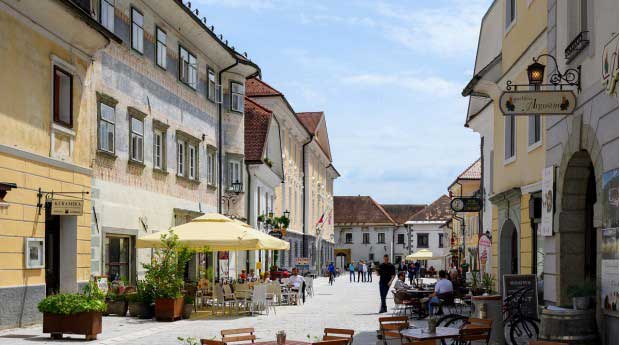
Photo: http://www.radolca.si
…and on to the viewpoint at the far end of the old town, from where there are magnificent views of Slovenia’s highest mountain – Triglav – and the Jelovica plateau.
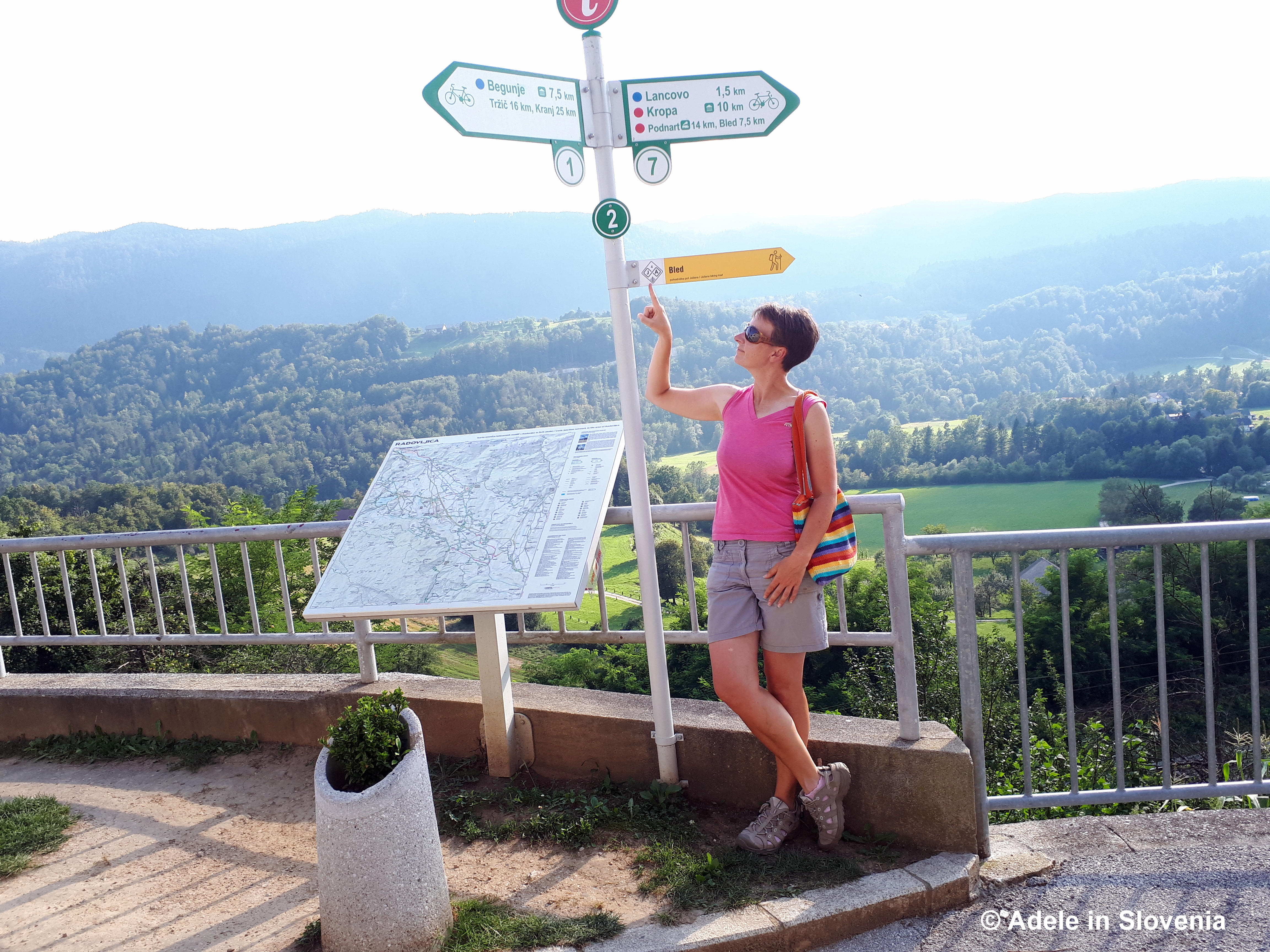
From there it leads down towards the Sava river.
Just before the bridge over the river, the Juliana Trail meets the Sava River Trail, which leads past the confluence of the Sava Bohinjka and Sava Dolinka rivers and onwards to the Šobec camp.
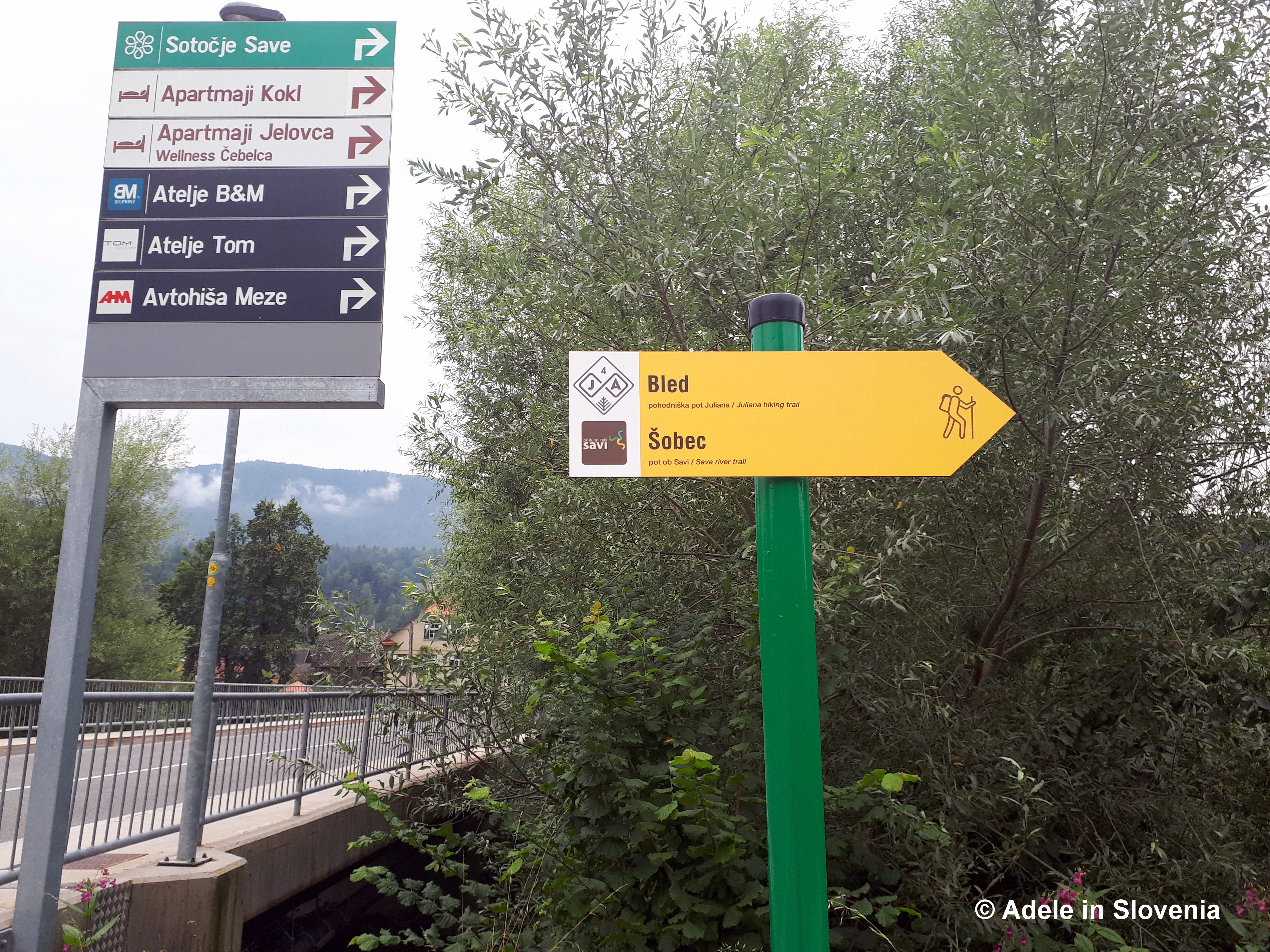
If you want to get a shot of the river, continue onto the bridge before doubling back to the trail marker.

The route continues through the camp, where it crosses the Sava Dolinka river before entering into the area of the municipality of Bled.
A guidebook to the entire trail is available in three languages.
.JPG)
Click here to find out more about stage 4 of the trail, and click here for more information about the entire trail.
© Adele in Slovenia

Hi. How would I best go about getting a guidebook for the entire trail?
Hi Charlie, sorry for the delay in replying, life is crazy at the moment! There is a link in the blog (right at the bottom) for more info re the trail, otherwise Tourism Bohinj seems to ‘running the show’ – so to speak, so if the links are of no help, then I suggest contacting them direct. All the best, Adele