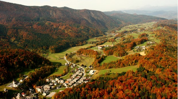
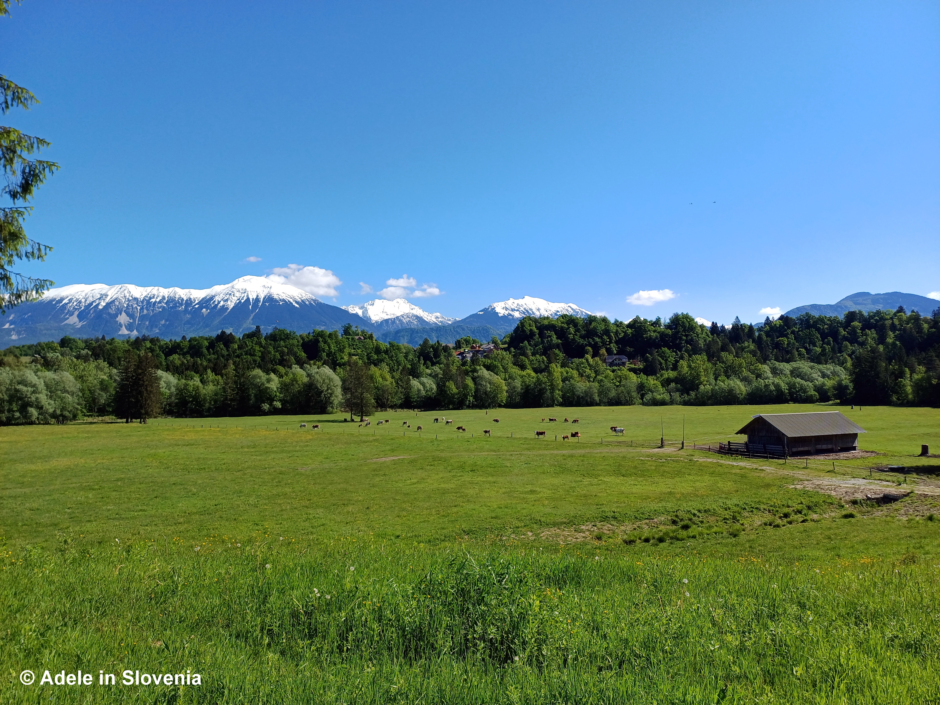
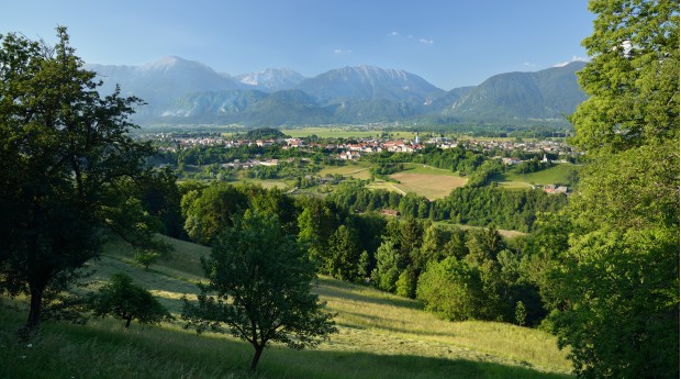
The village of Kropa never fails to charm me. It’s location, surrounded by the steep slopes of the Jelovica plateau, together with its special heritage and characteristic architecture, gives this small village a unique appearance and atmosphere.
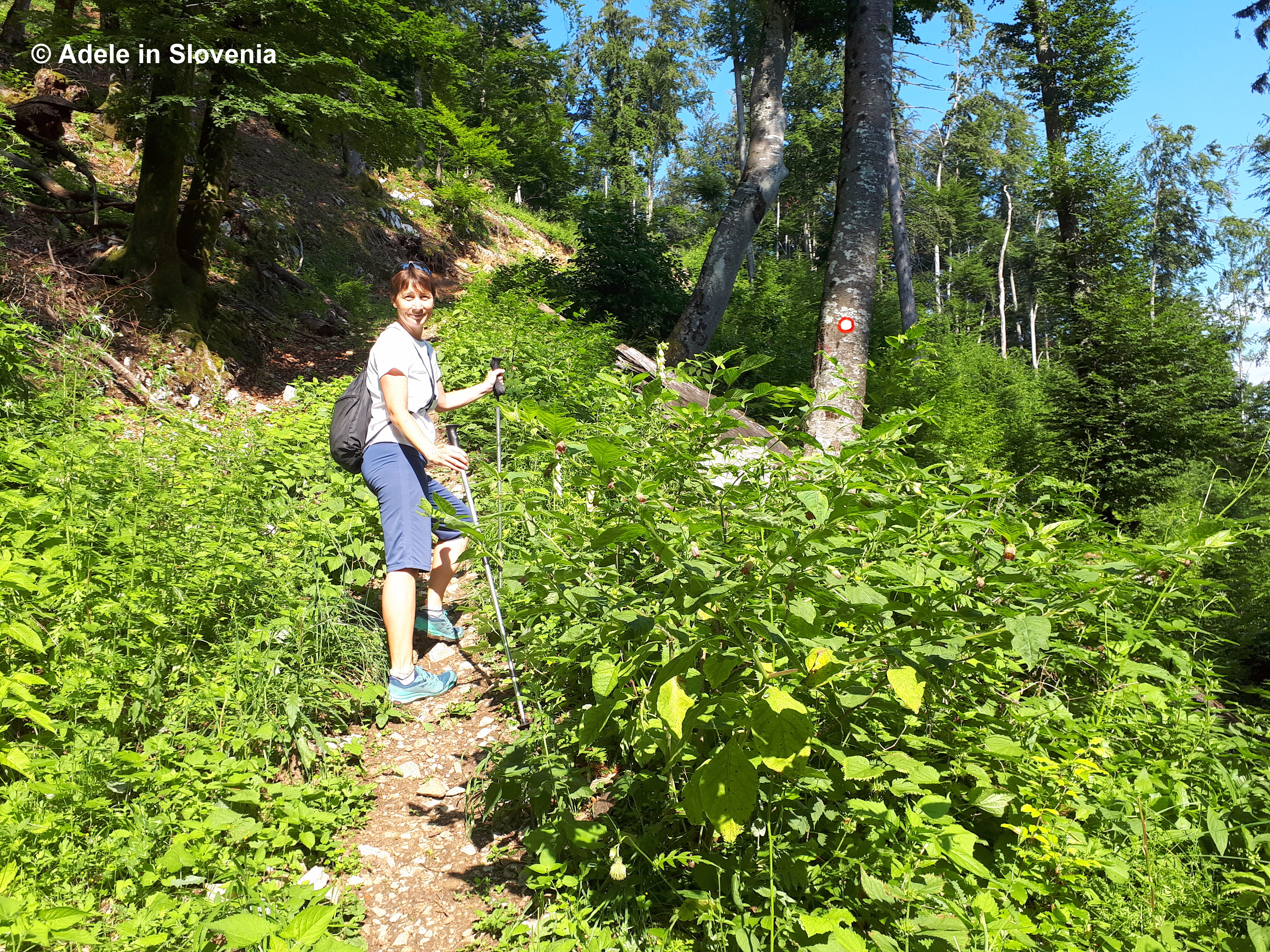
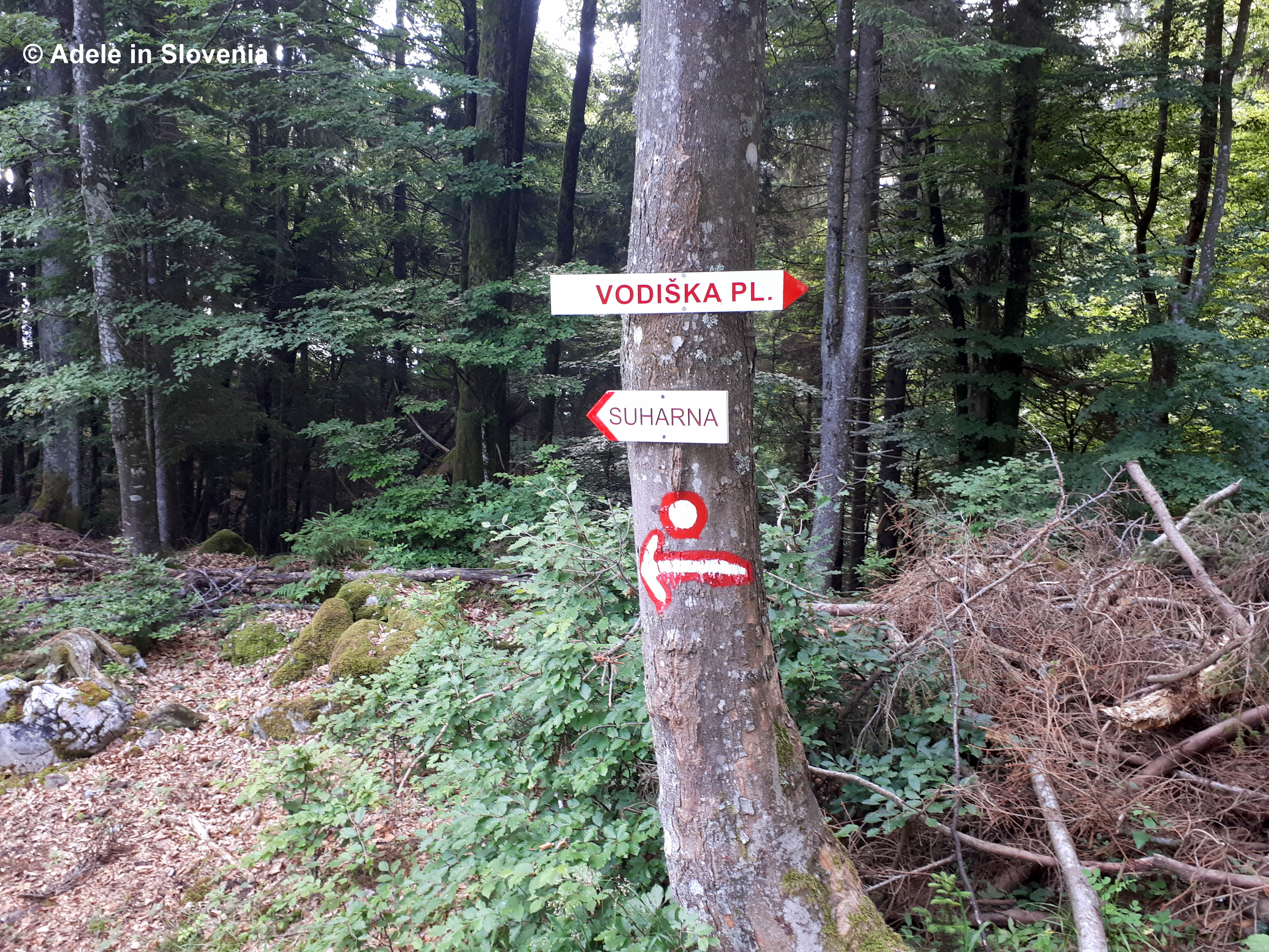
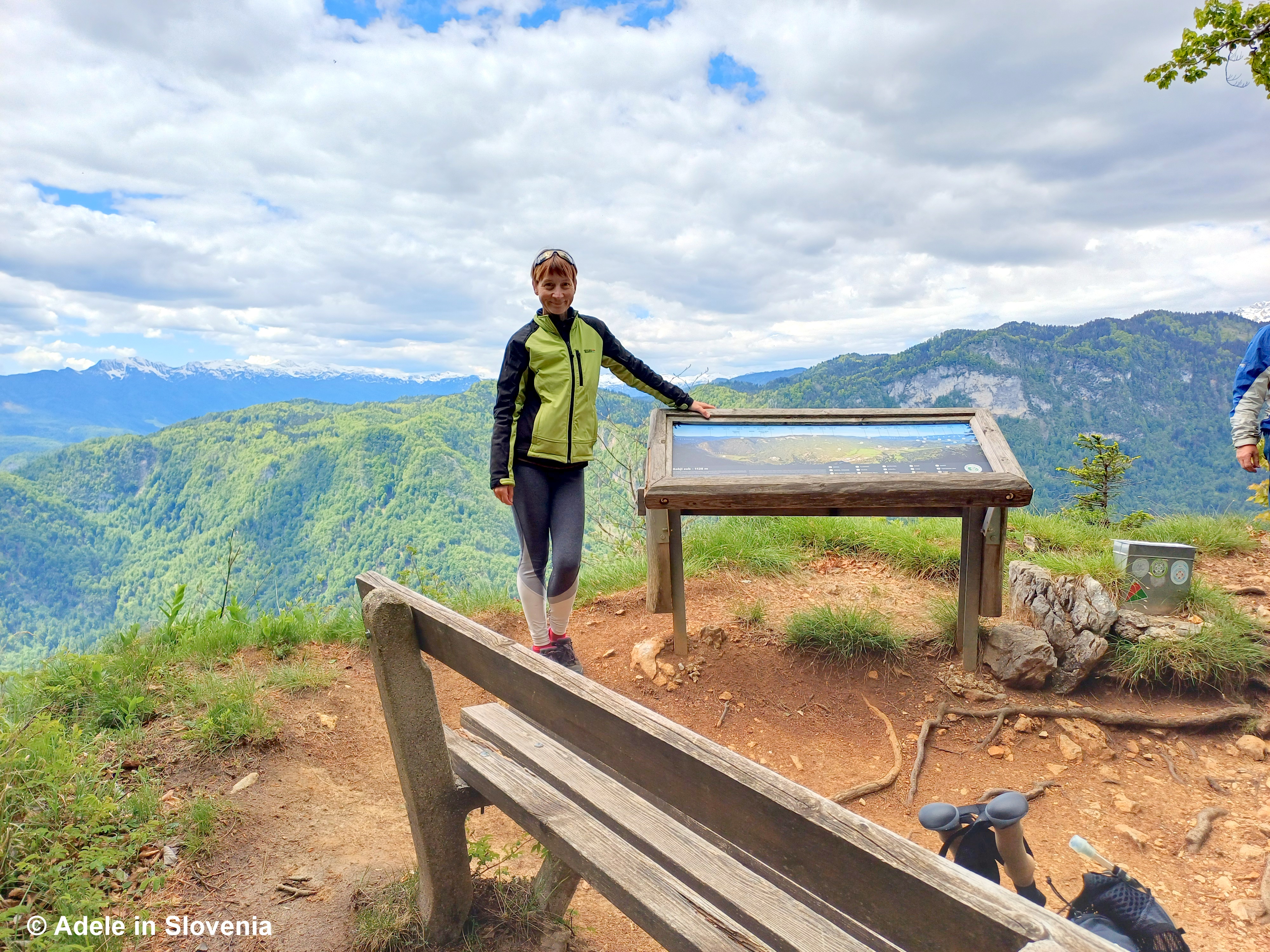
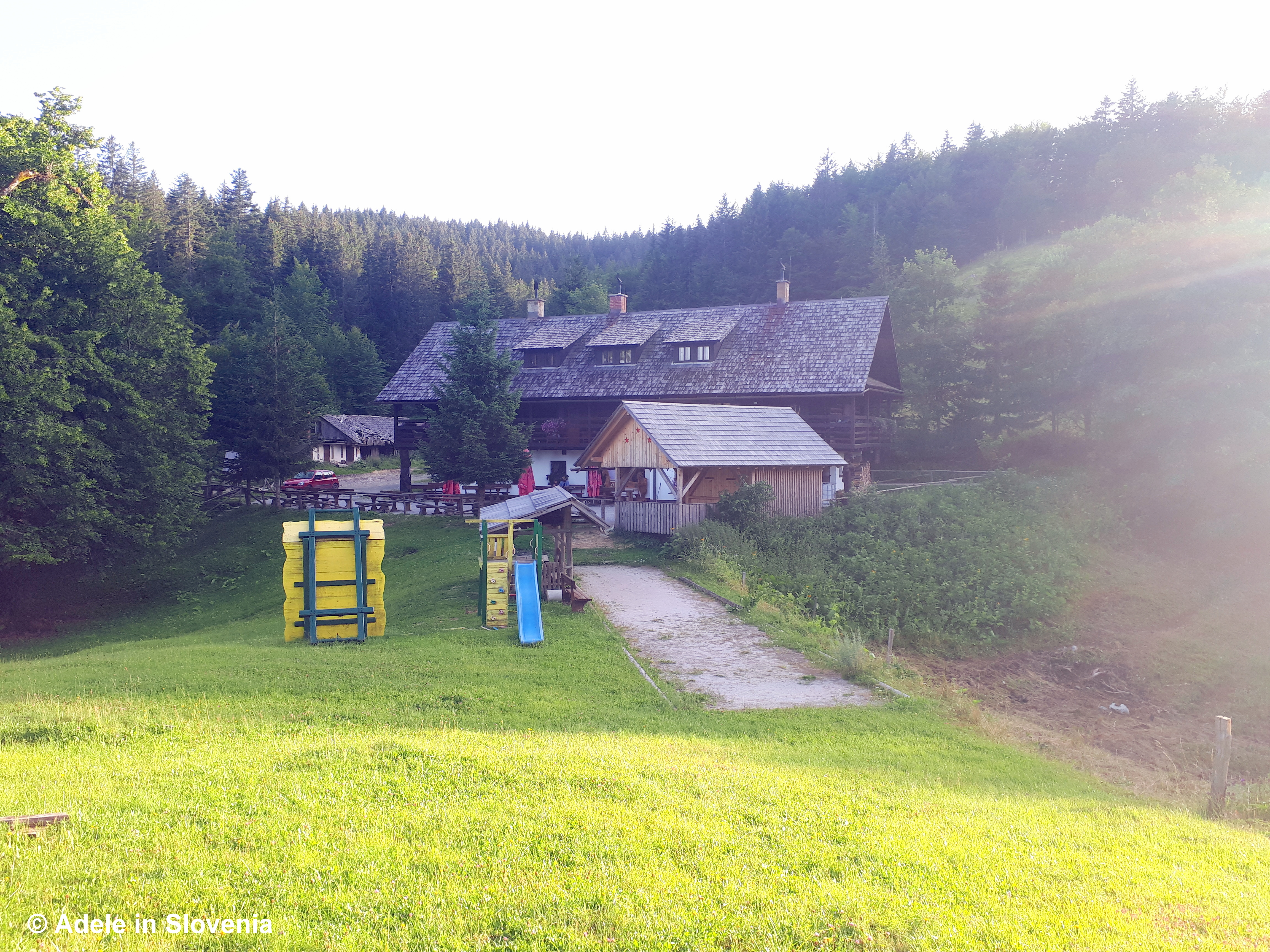
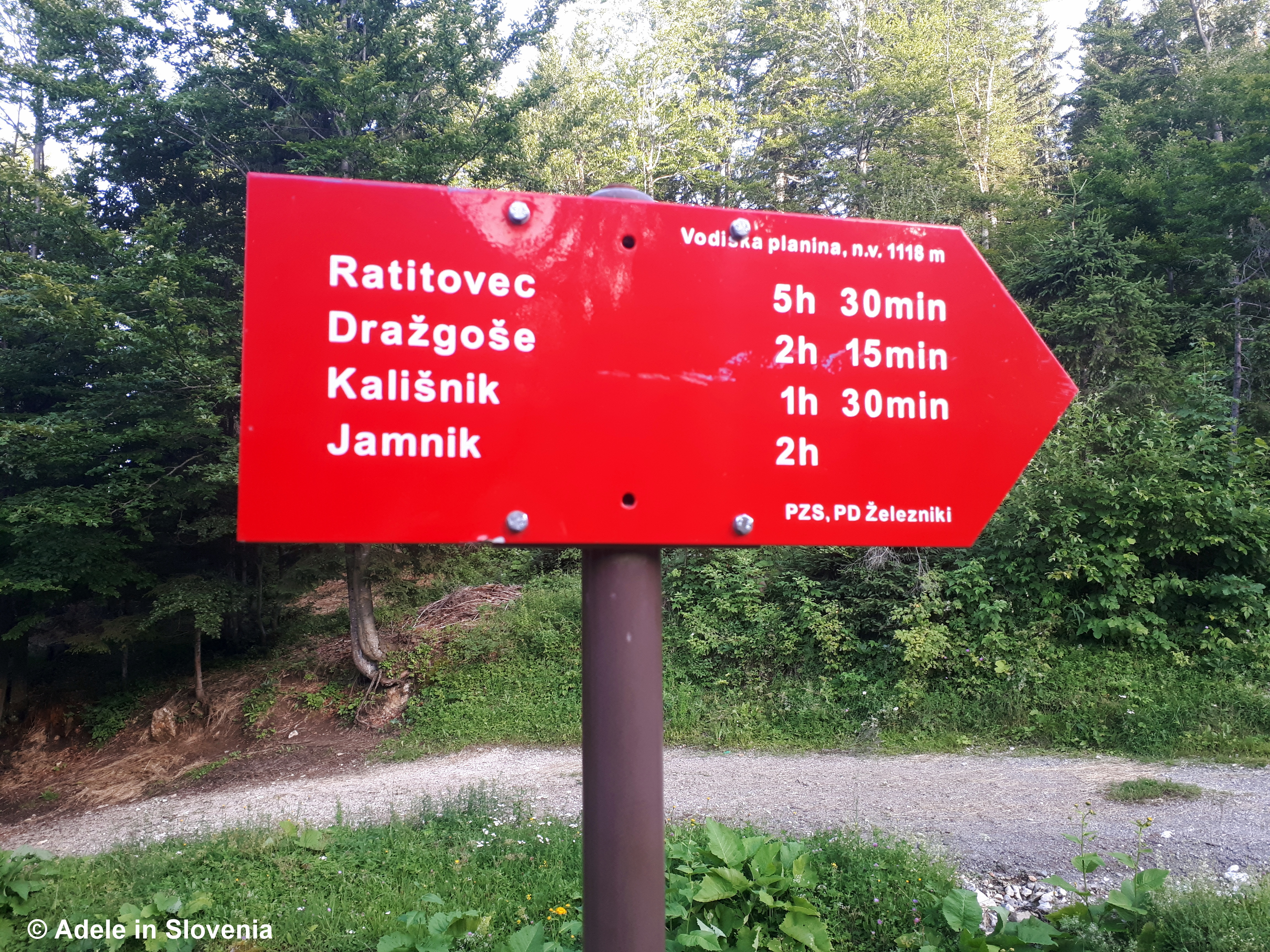
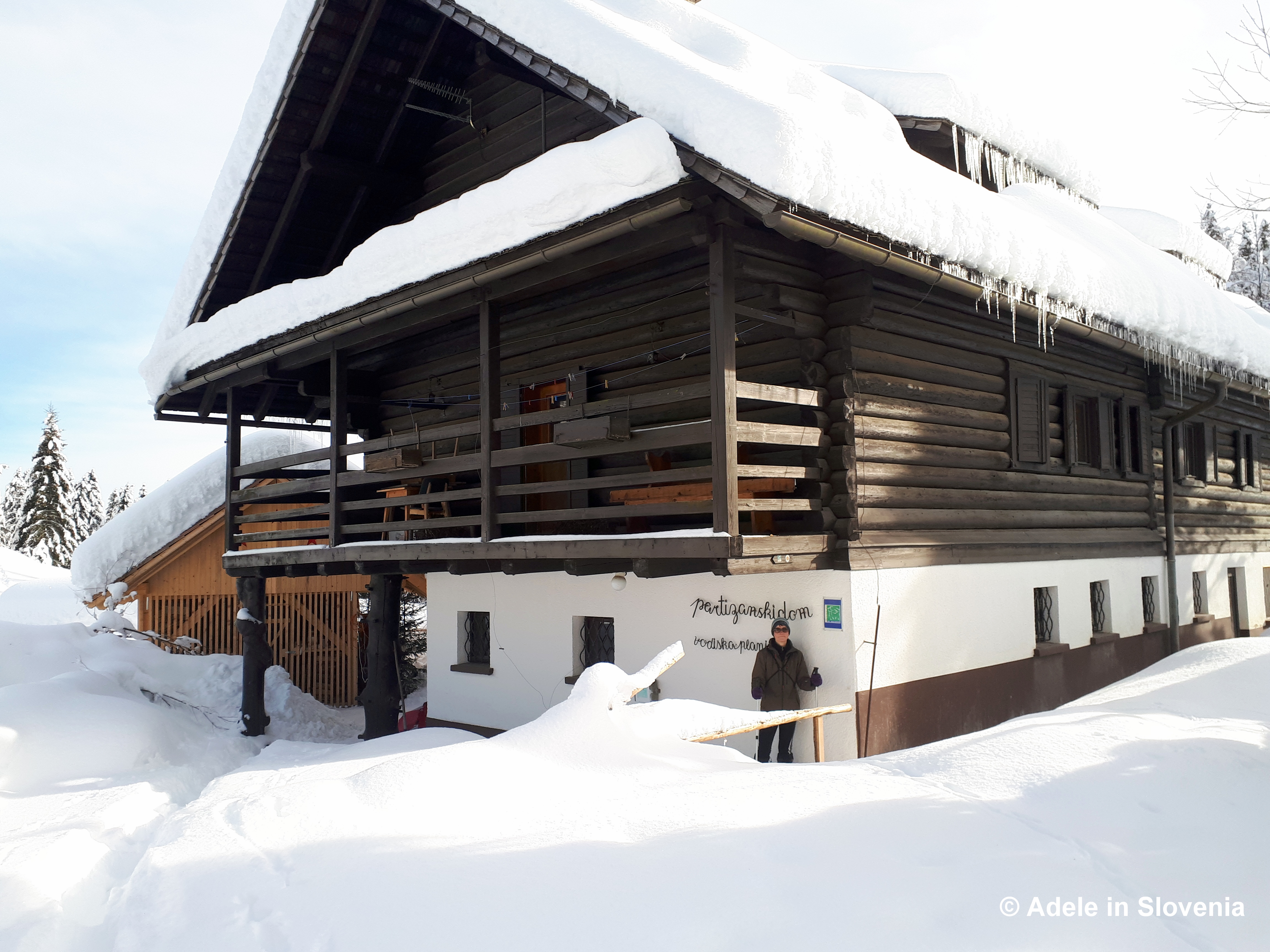
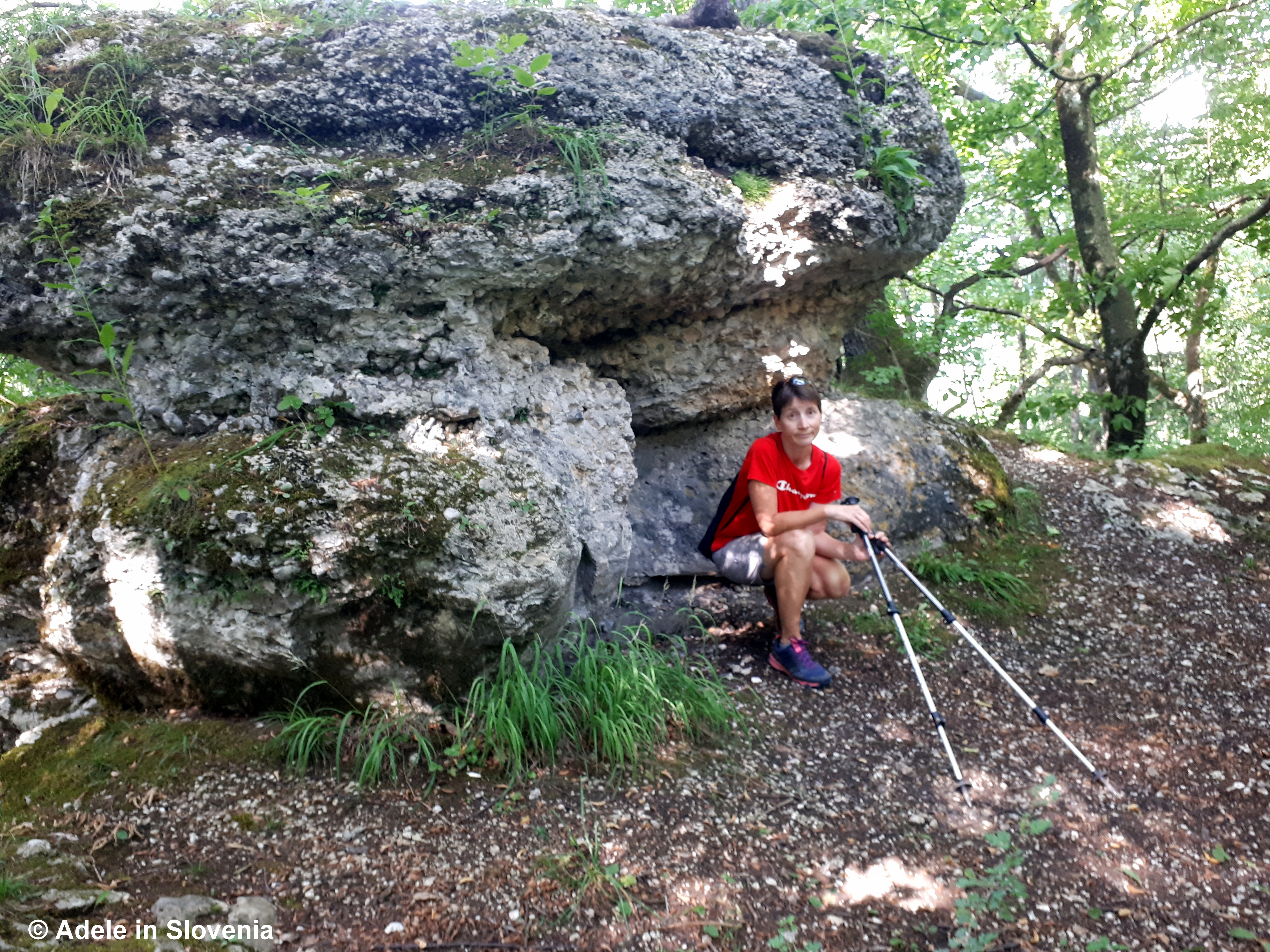
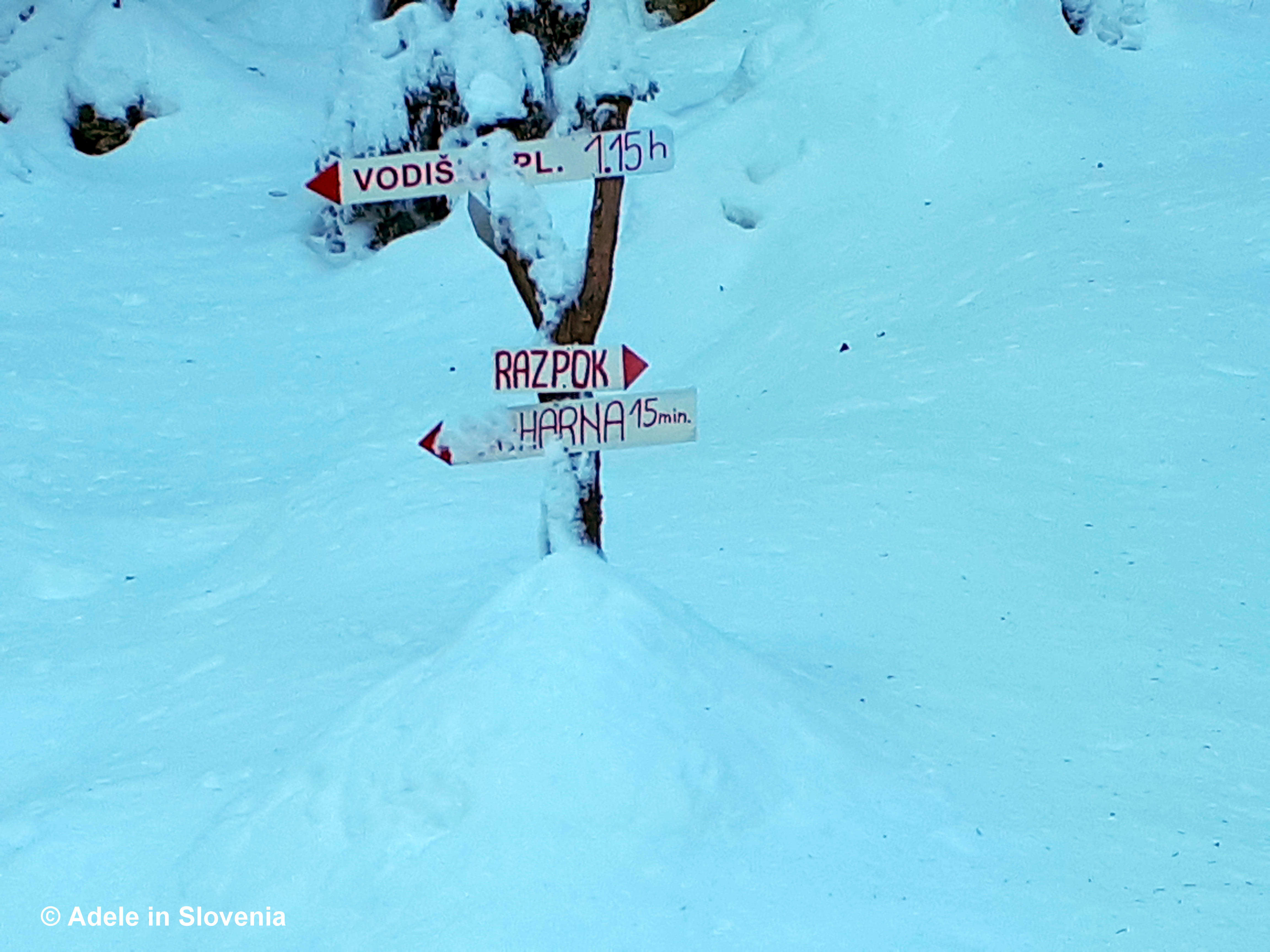
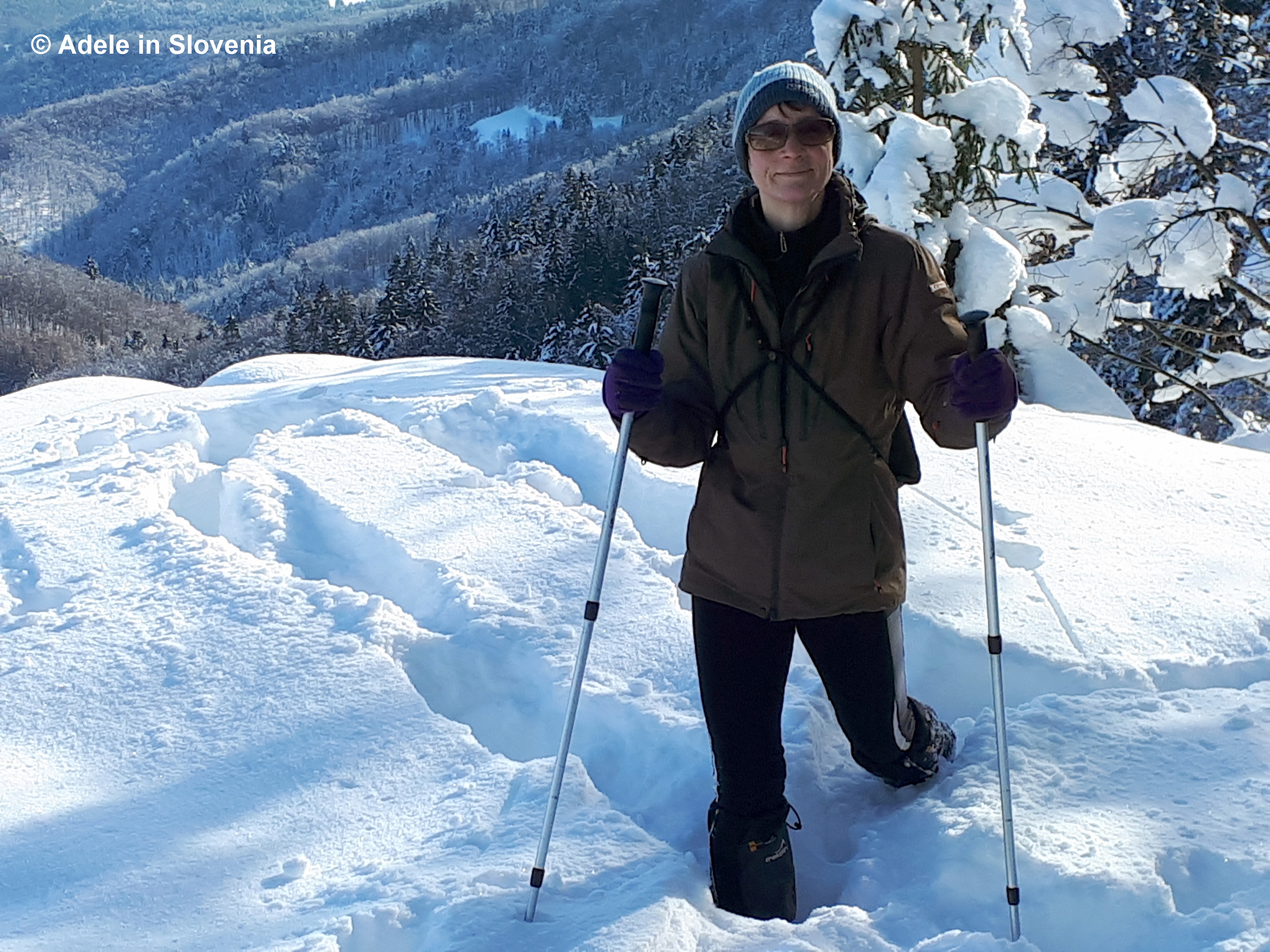
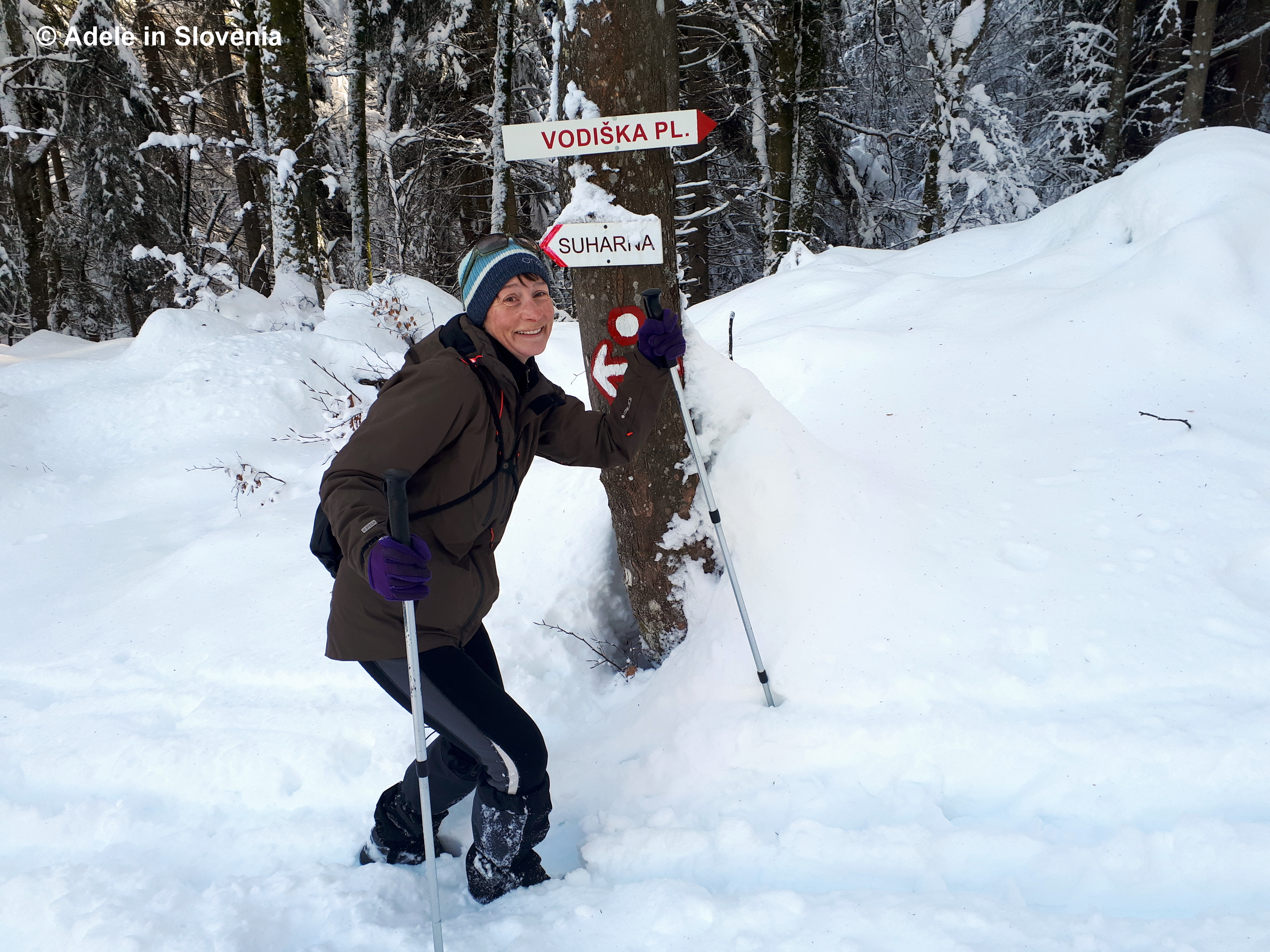
I visit at least once a week during summer, from home by bike, then to hike up to the Vodiška planina mountain pasture and hut.

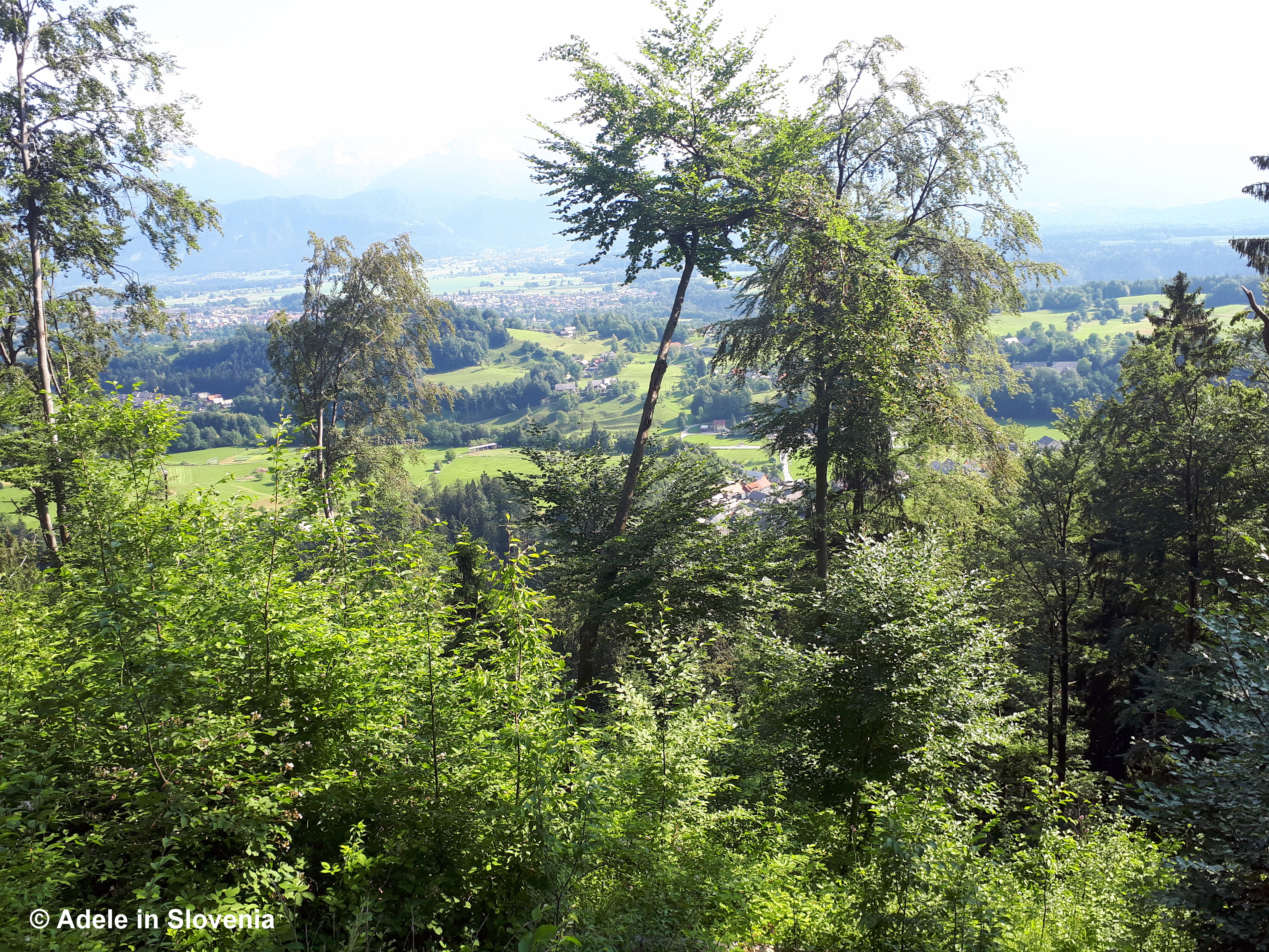
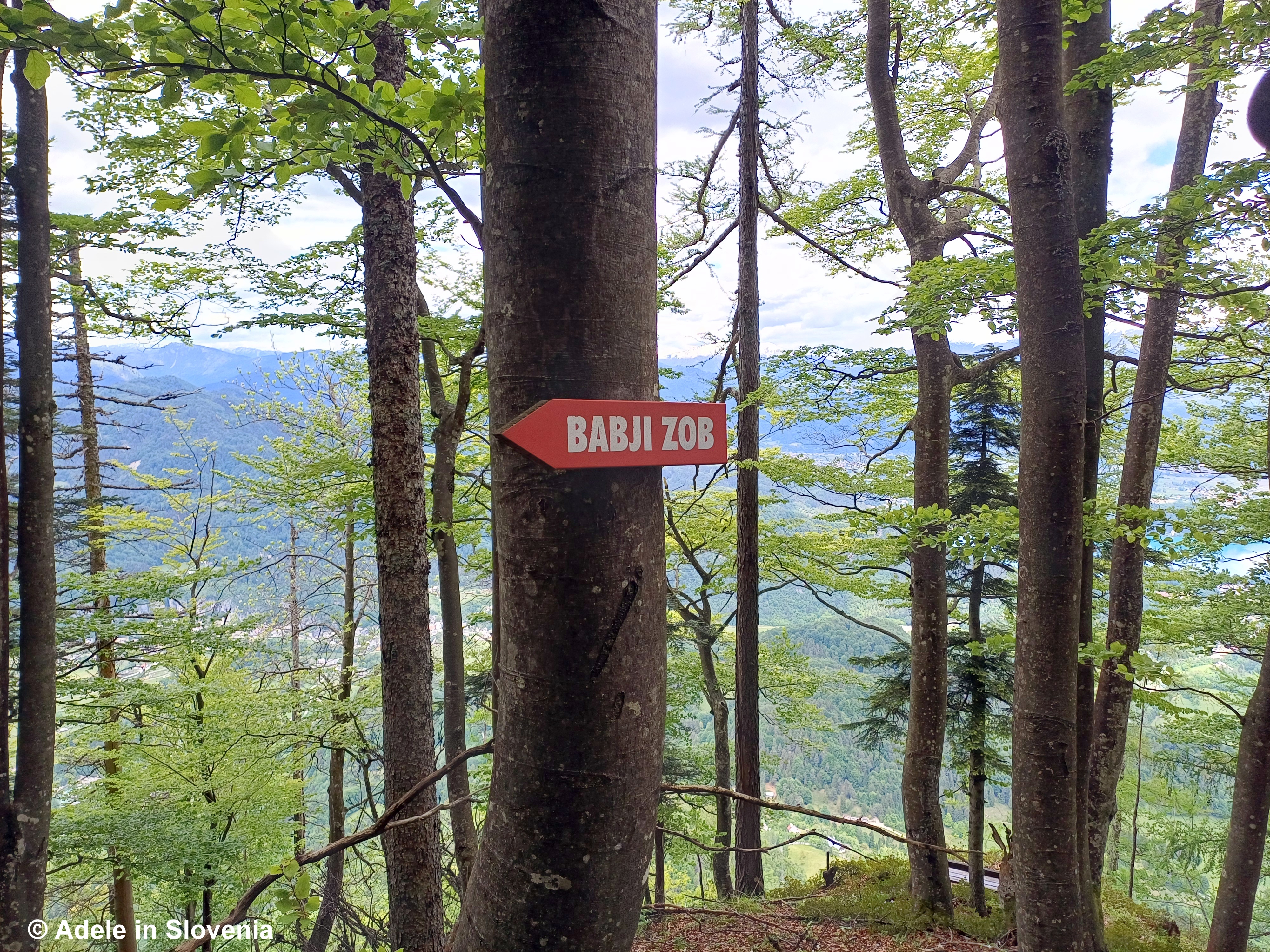
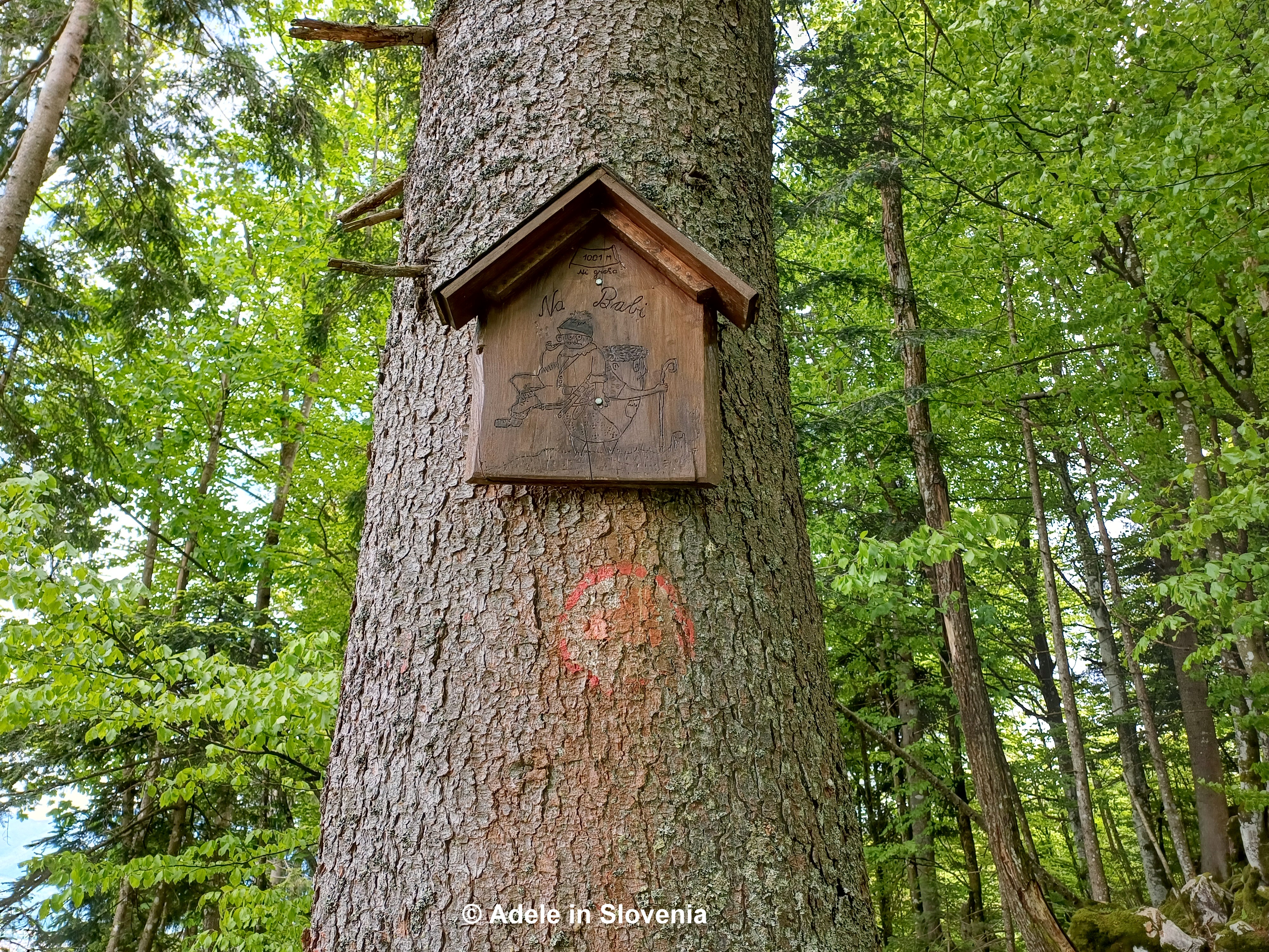
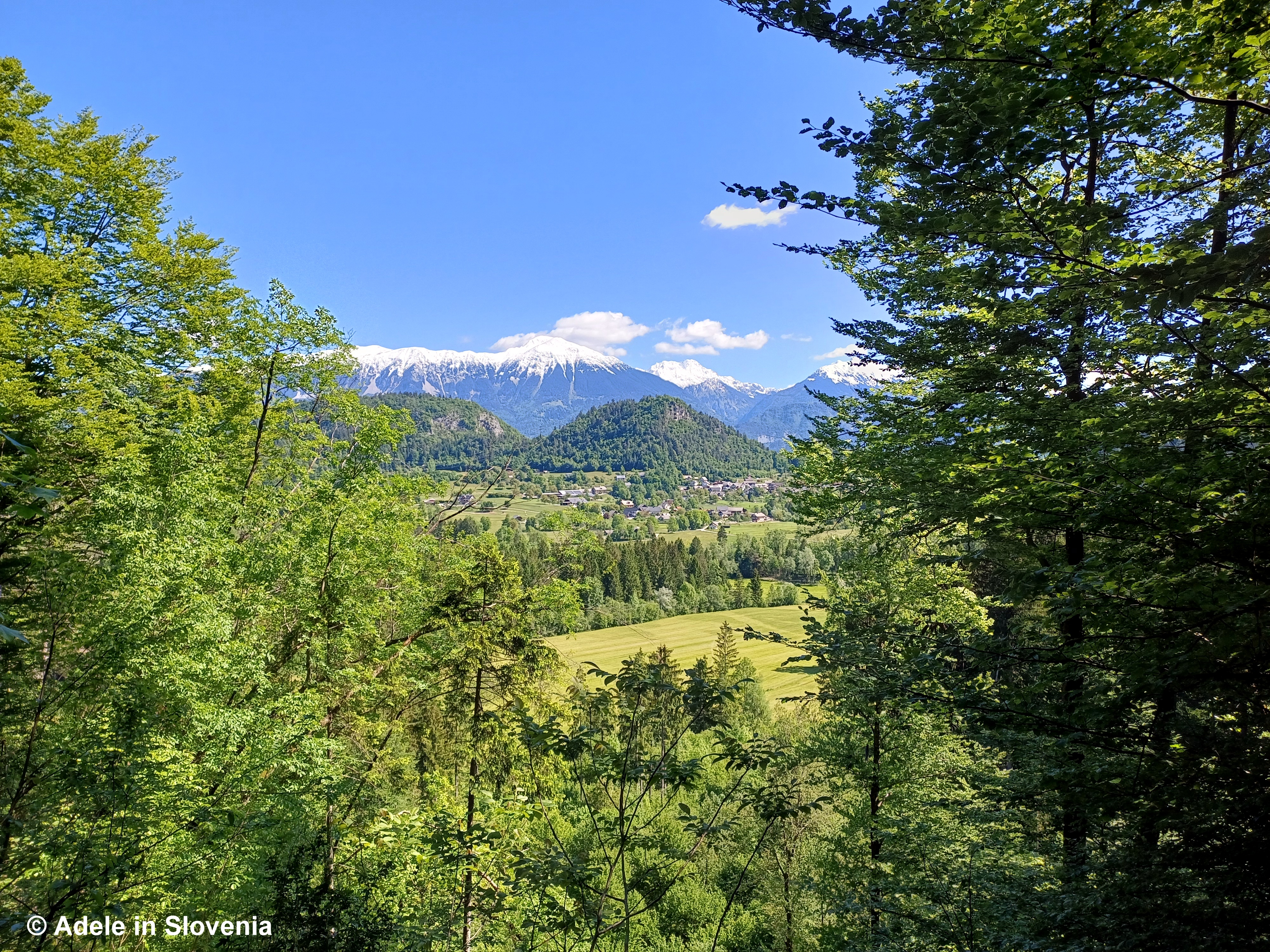
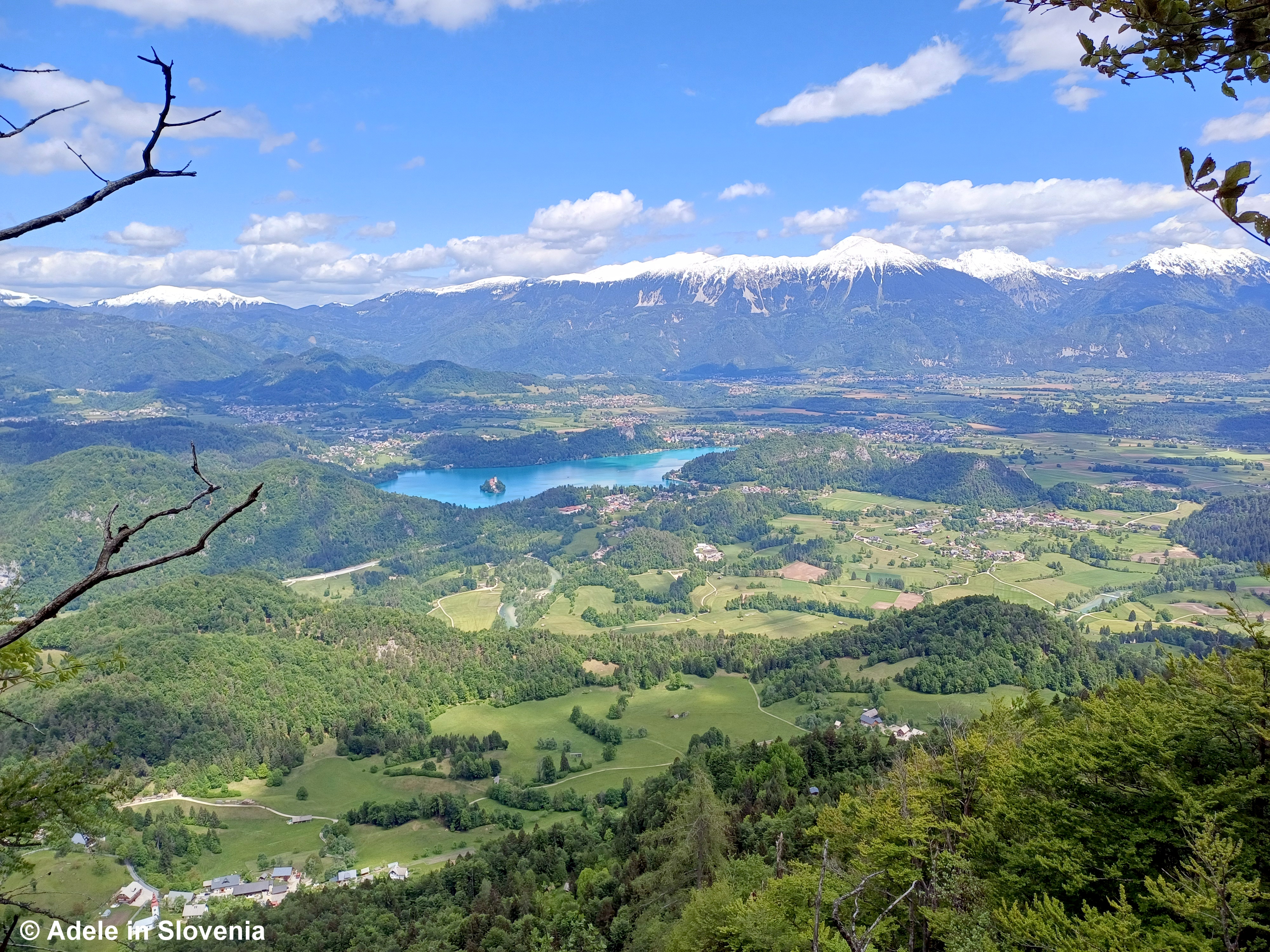
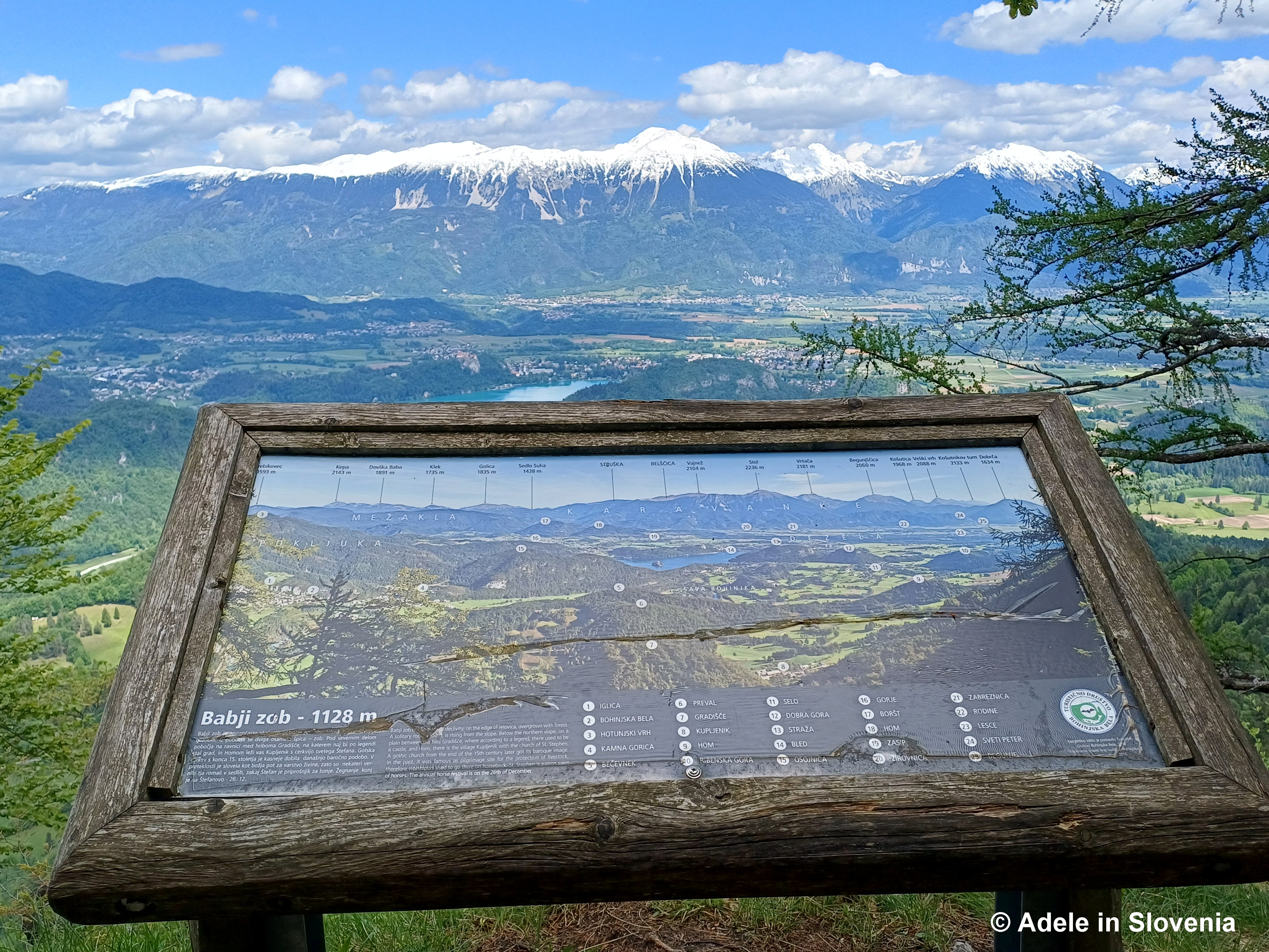
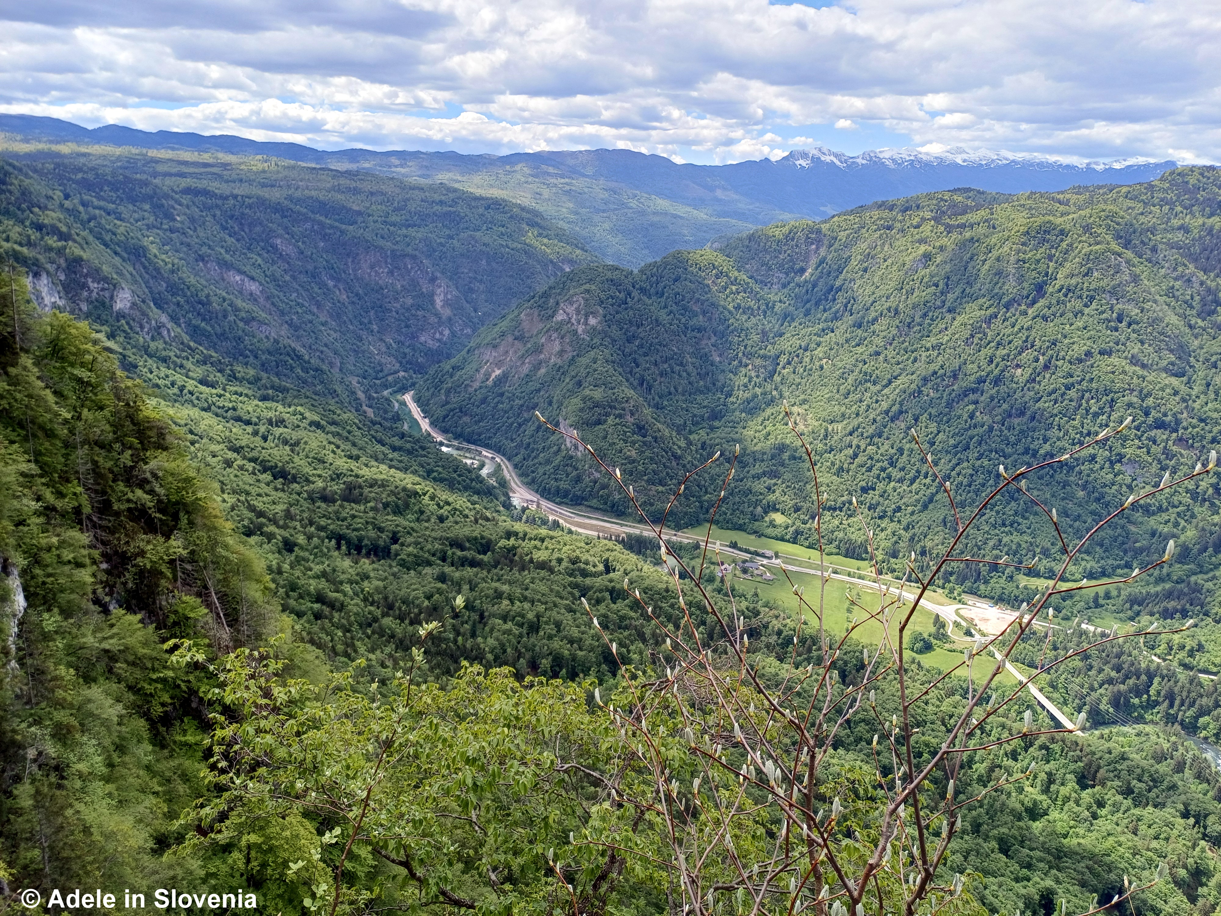
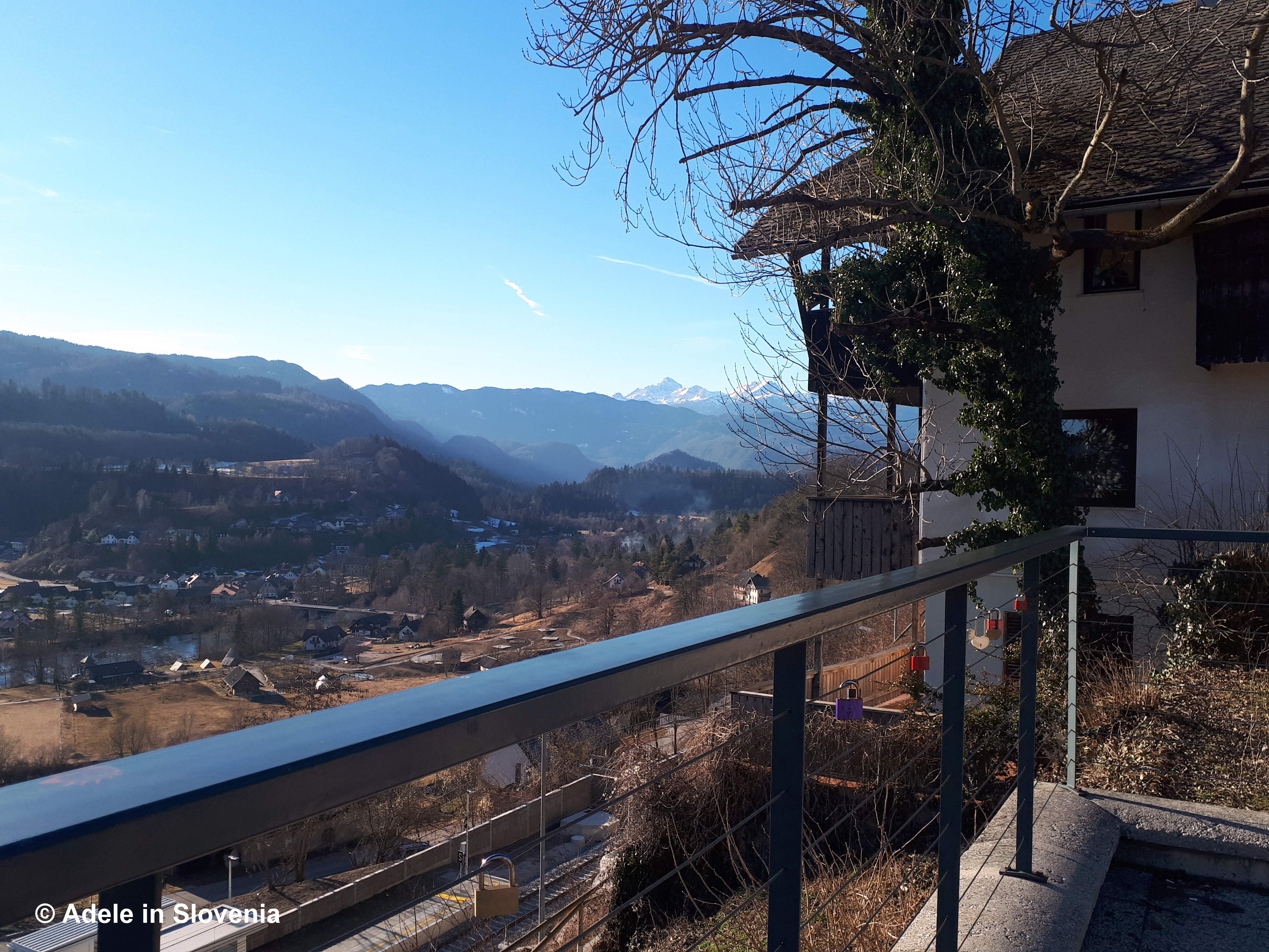
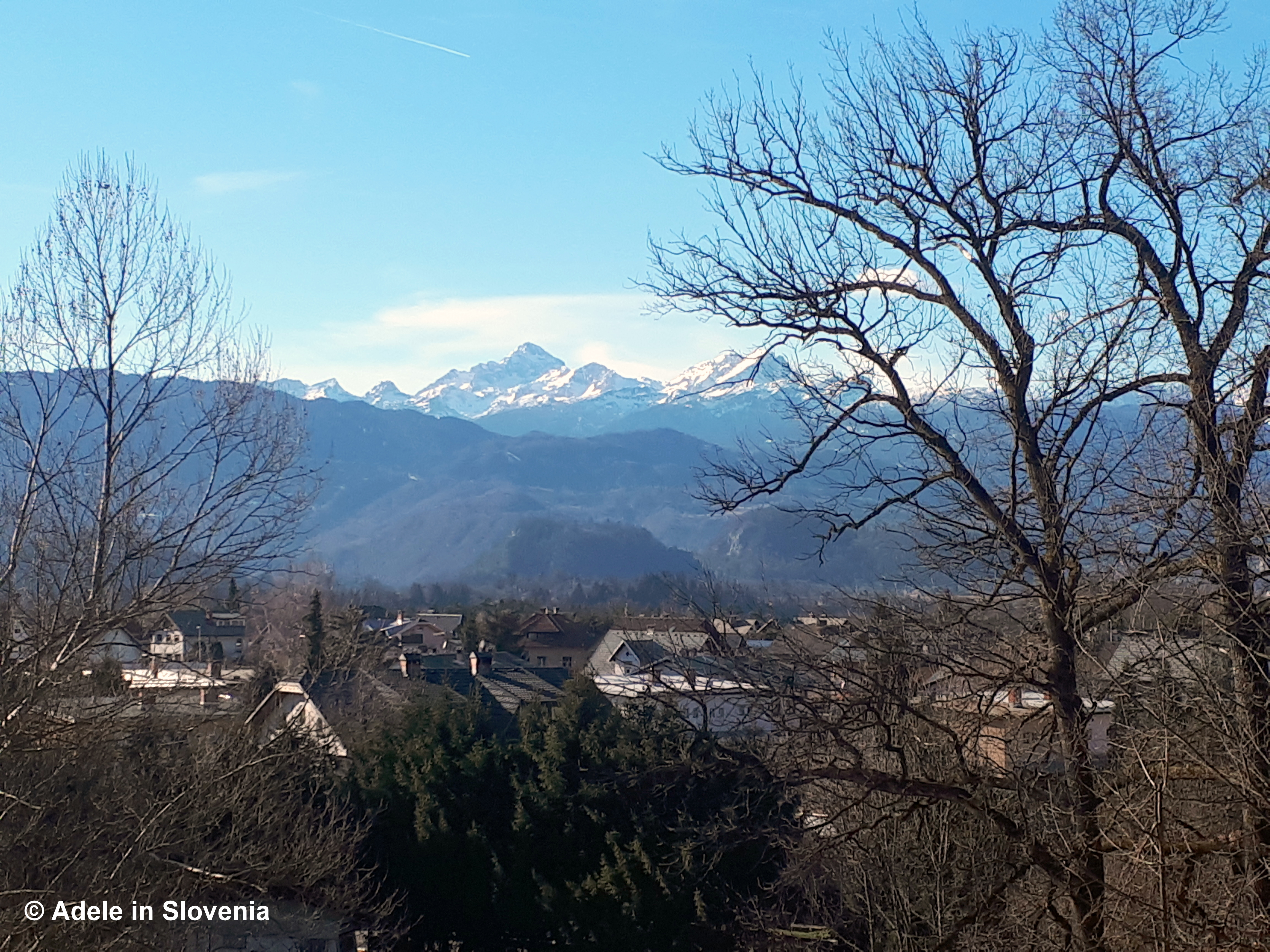
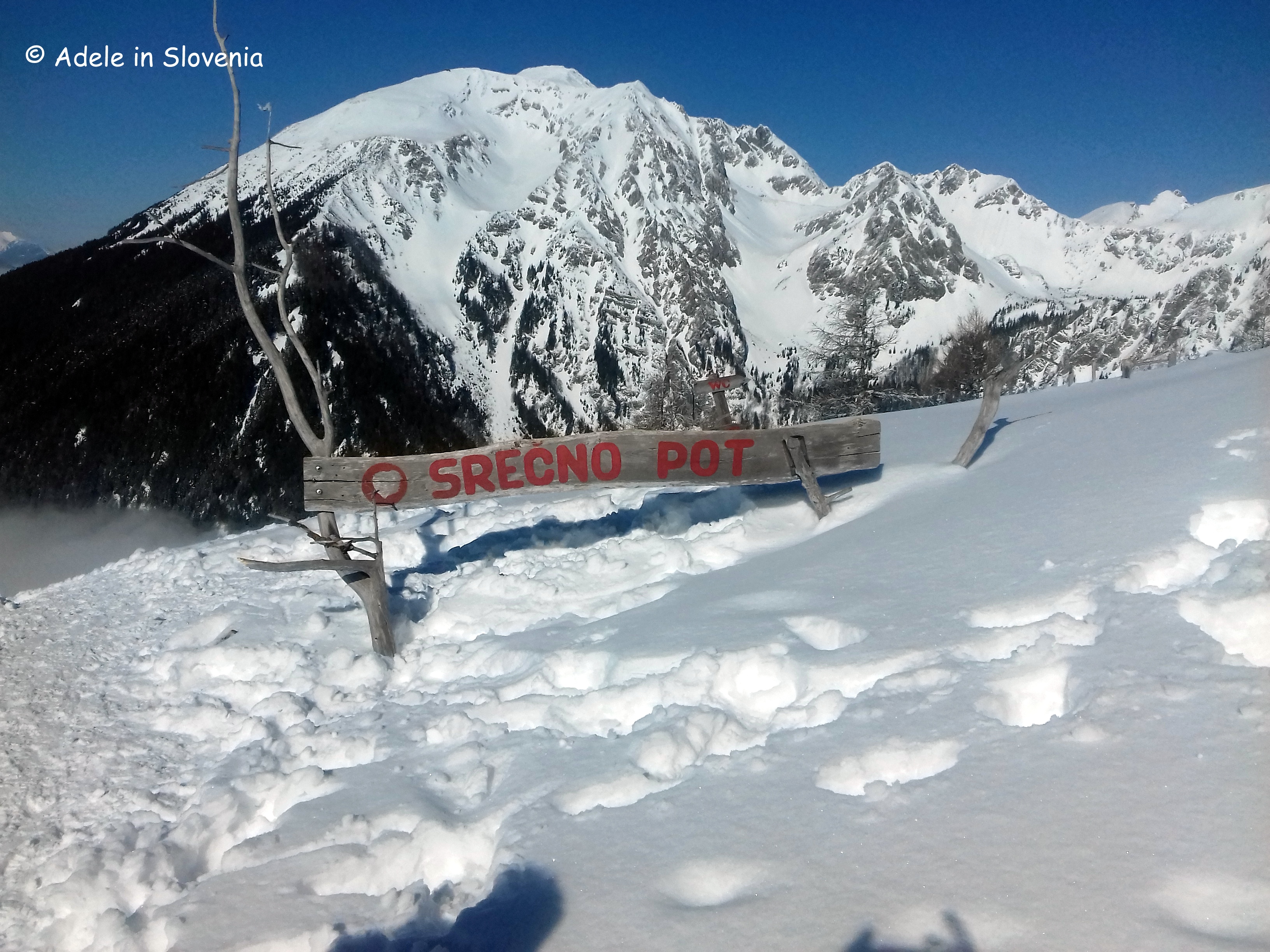
As the views from the mountain pasture and hut are obstructed by forest, its worth going to the 1,227 metre-high Zidana skala viewpoint, from where there are magnificent views down over the village and onwards.


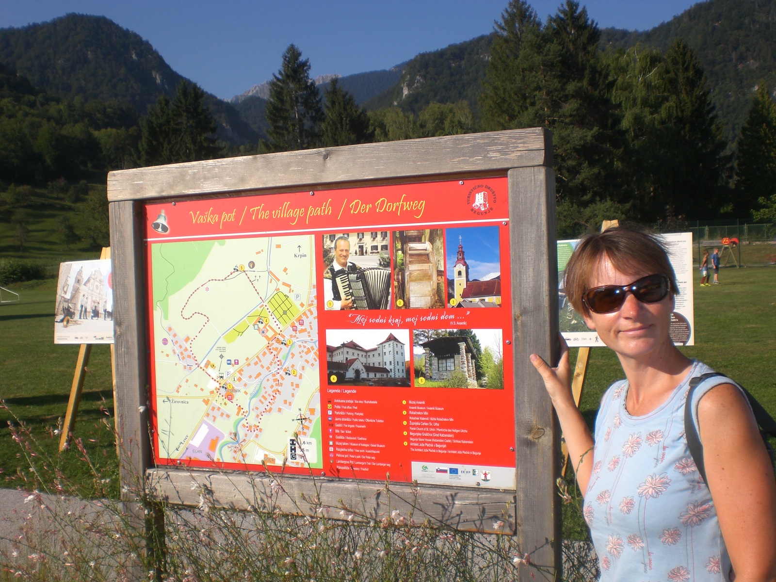
Today, in addition to the aforementioned, I took time to check out the brand new family theme trail: Join Blacksmith Elf Along the Kropa Nail-makers’ Trail, which is a great way to learn more about the exceptional heritage of the village, while children – young and old – will love trying to solve the puzzles and riddles, as well as the interactive points in the Kotel Learning Park.
Before setting off, be sure to pick up a copy of the trail booklet, which is available at the Iron Forging Museum in Kropa, as well as at the Radovljica Tourist Information Centre.

Armed with the booklet, head for the first point of the trail – the lower pool.

Then walk through the narrow streets and alleys, following the map to visit other points throughout the village.

Along the way you will pass the Vigenjc vice forge, the only preserved authentic 19th century of its kind in Kropa…


… and the Educational Park in Kotel.

Although small, there’s more than enough to do in Kropa for a day or two, depending on how active you want to be and how curious you are.
During summer, holders of a Julian Alps Summer Card can take part in a free guided tour of Kropa, as well as other attractions in the Radol’ca area.
That’s all from me for now. After today’s cycle and hike, I’m off for an ice-cream!
© Adele in Slovenia


_r.jpg)