Wild Weather and Scrumptious (gluten-free) Štruklji!

While much of Europe is basking, or rather sweltering, in record-high temperatures, this ‘summer’ here in Slovenia has, so far, been marked by some mega storms, the likes of which have never been seen at this time of year, if ever.

The extreme hail and gale-force winds have wreaked havoc throughout the country, and there’s more predicted for later this week too. So, everyone is waiting and praying that there isn’t a repeat of last week, which brought significant damage to cars, roofs, crops, houses and more.

Toča po neurju v Krškem

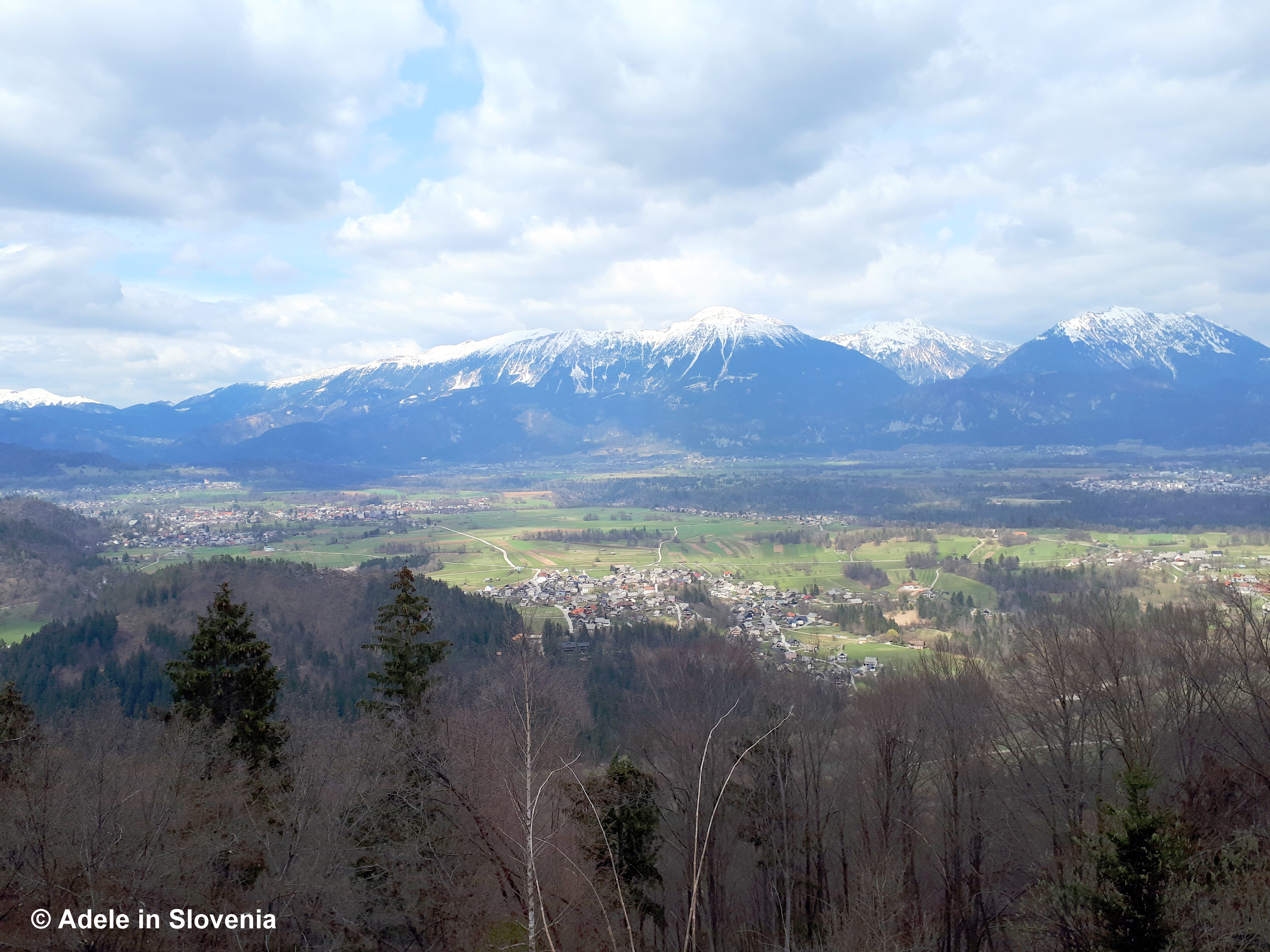
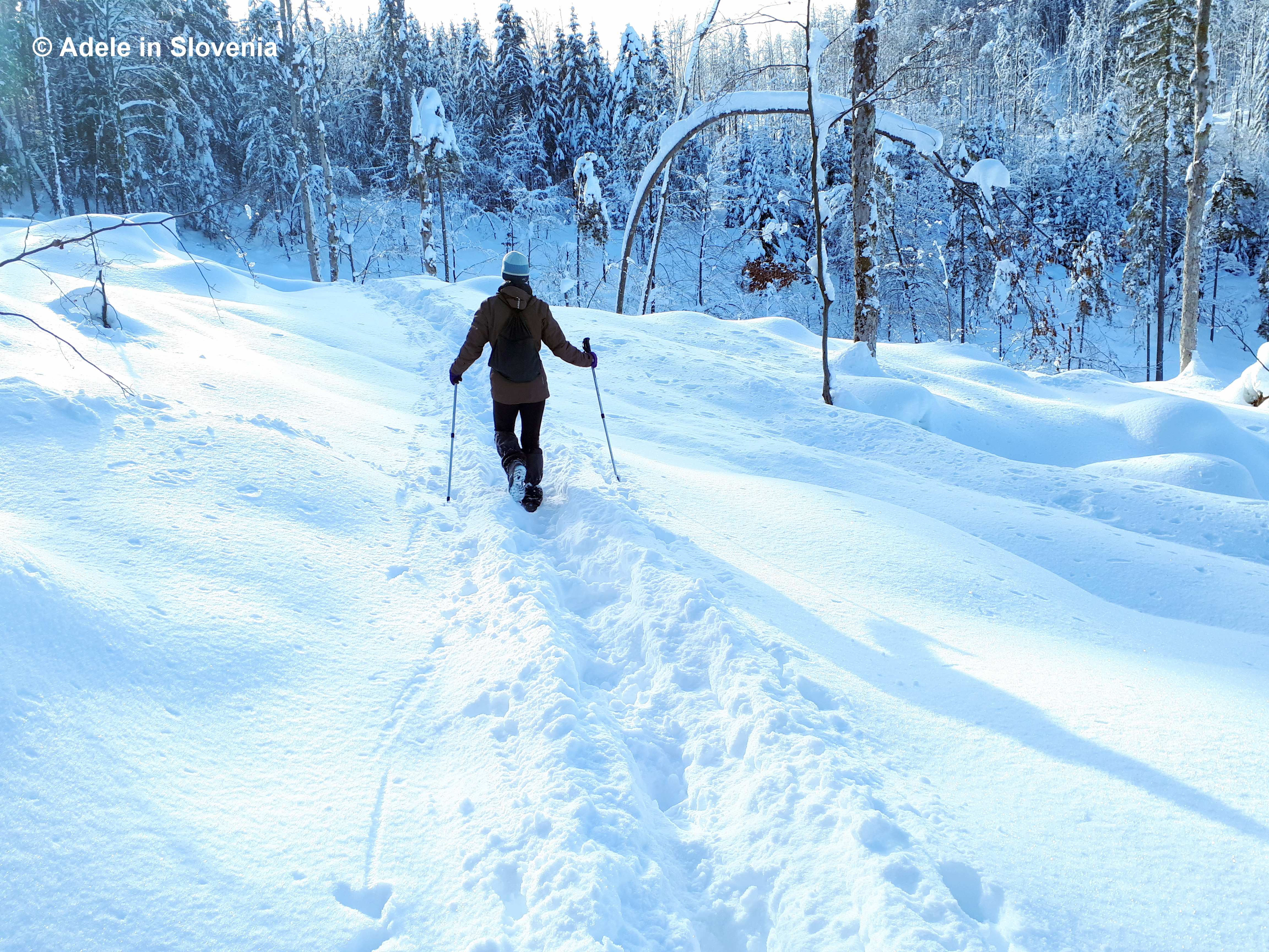
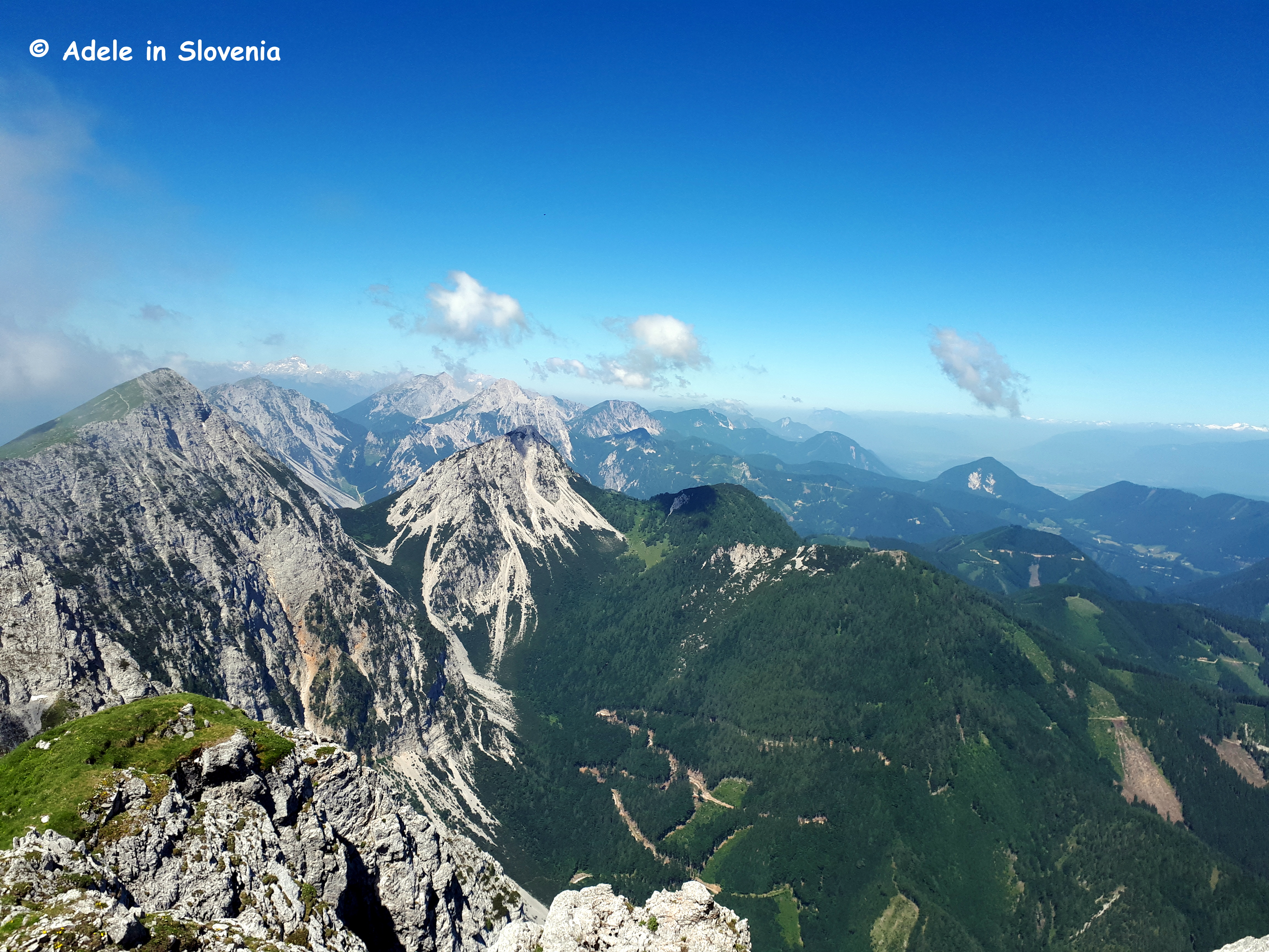
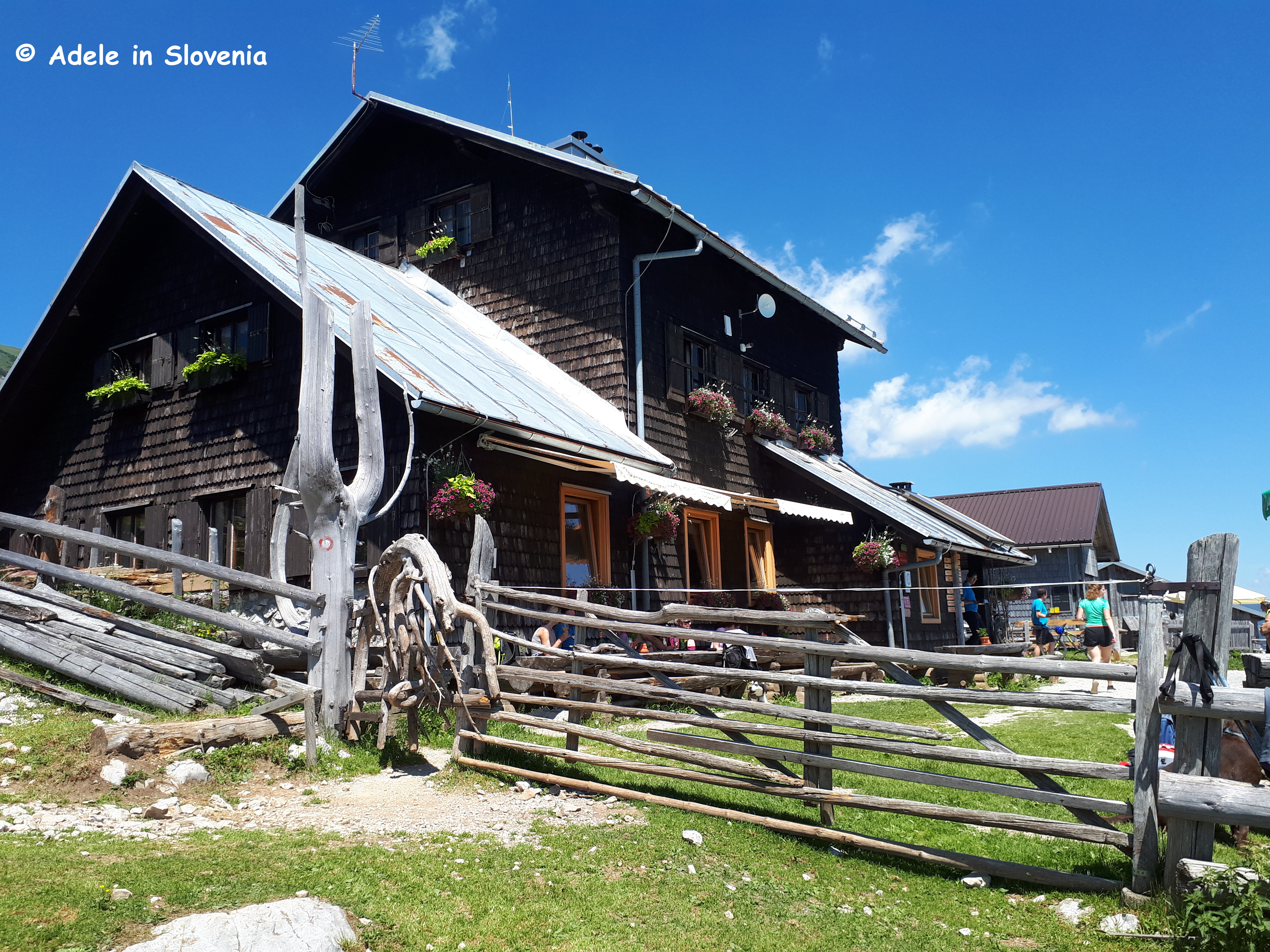
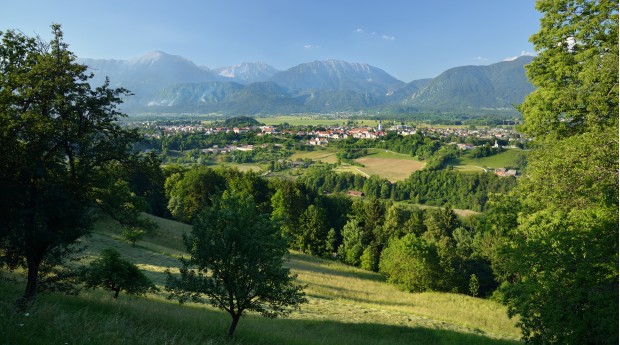
On a more positive note, here in the Gorenjska region, i.e. the mountainous region of Slovenia, temperatures tend not to get as high as at the coast and the southeast part of the country. And even if they do, you are never far from a forest to take shelter in, a mountain to climb for some cooler air, or a pool or lake to jump into to cool off.

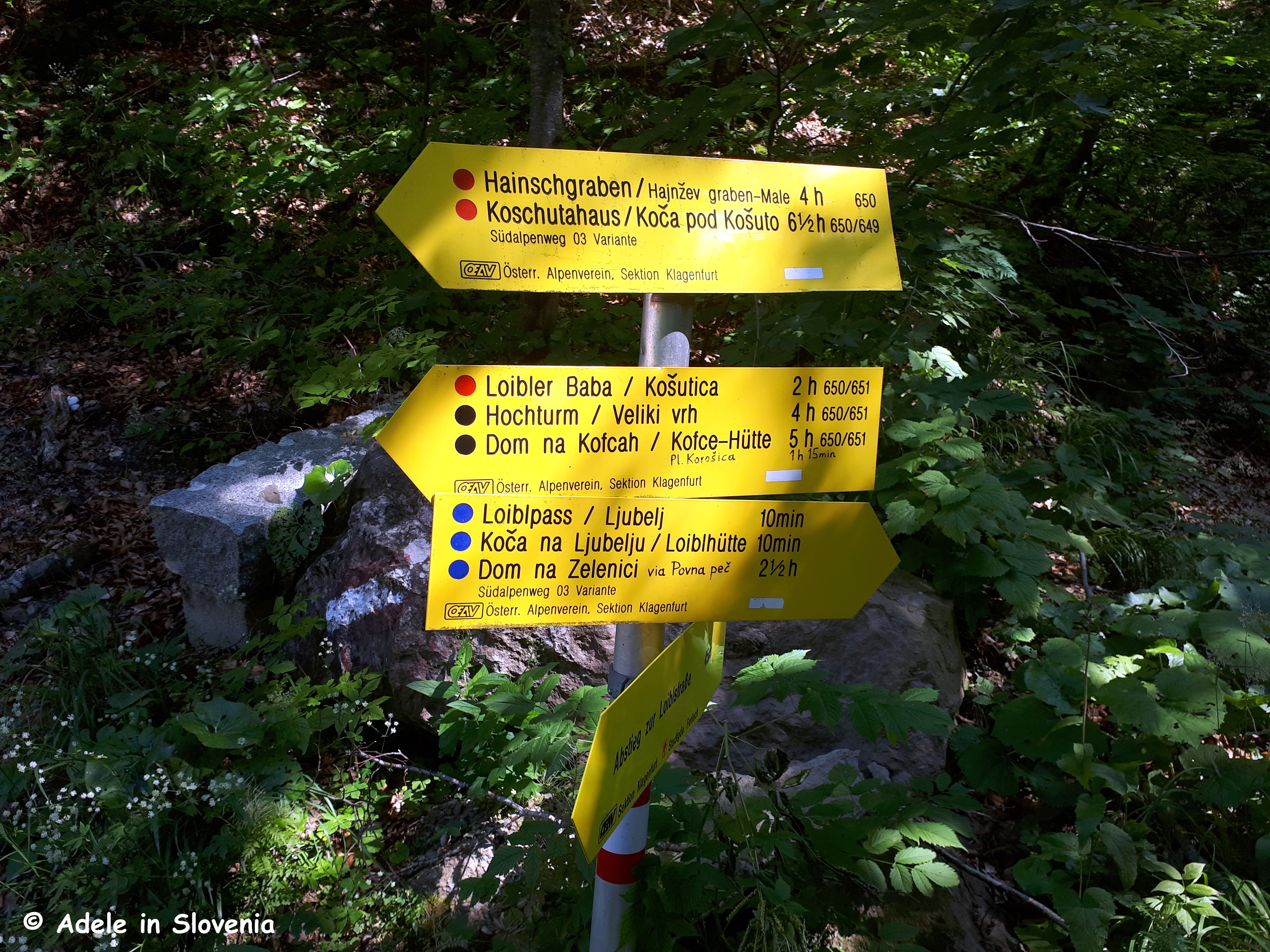
Here in Radovljica, we are lucky to have the Karavanke range and the Kamnik-Savinja Alps to the north, the Jelovica plateau to the south, and the Julian Alps on the doorstep, the only problem is, with so much choice, it can be hard to decide where to go!

Radovljiška ravnina

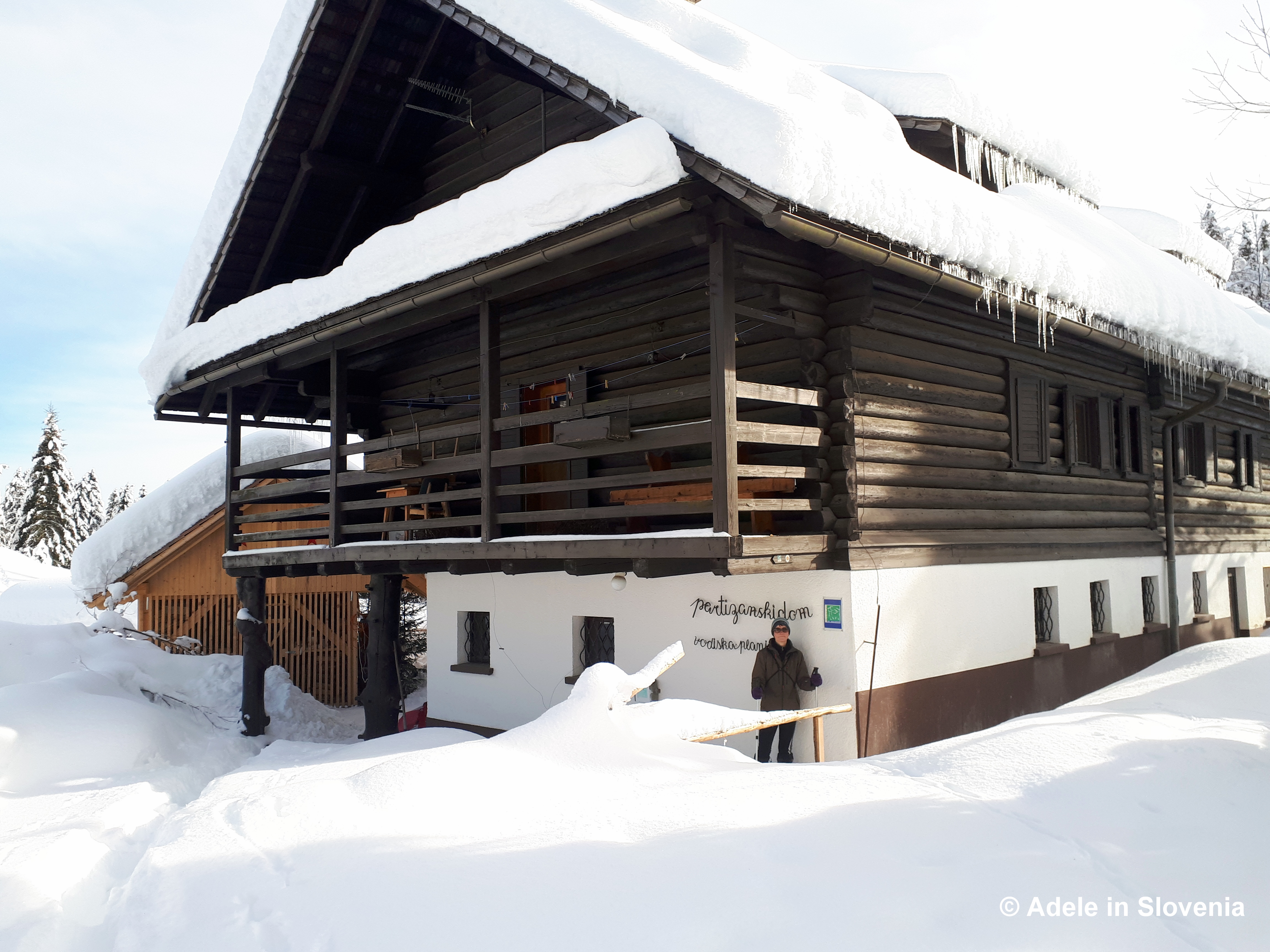
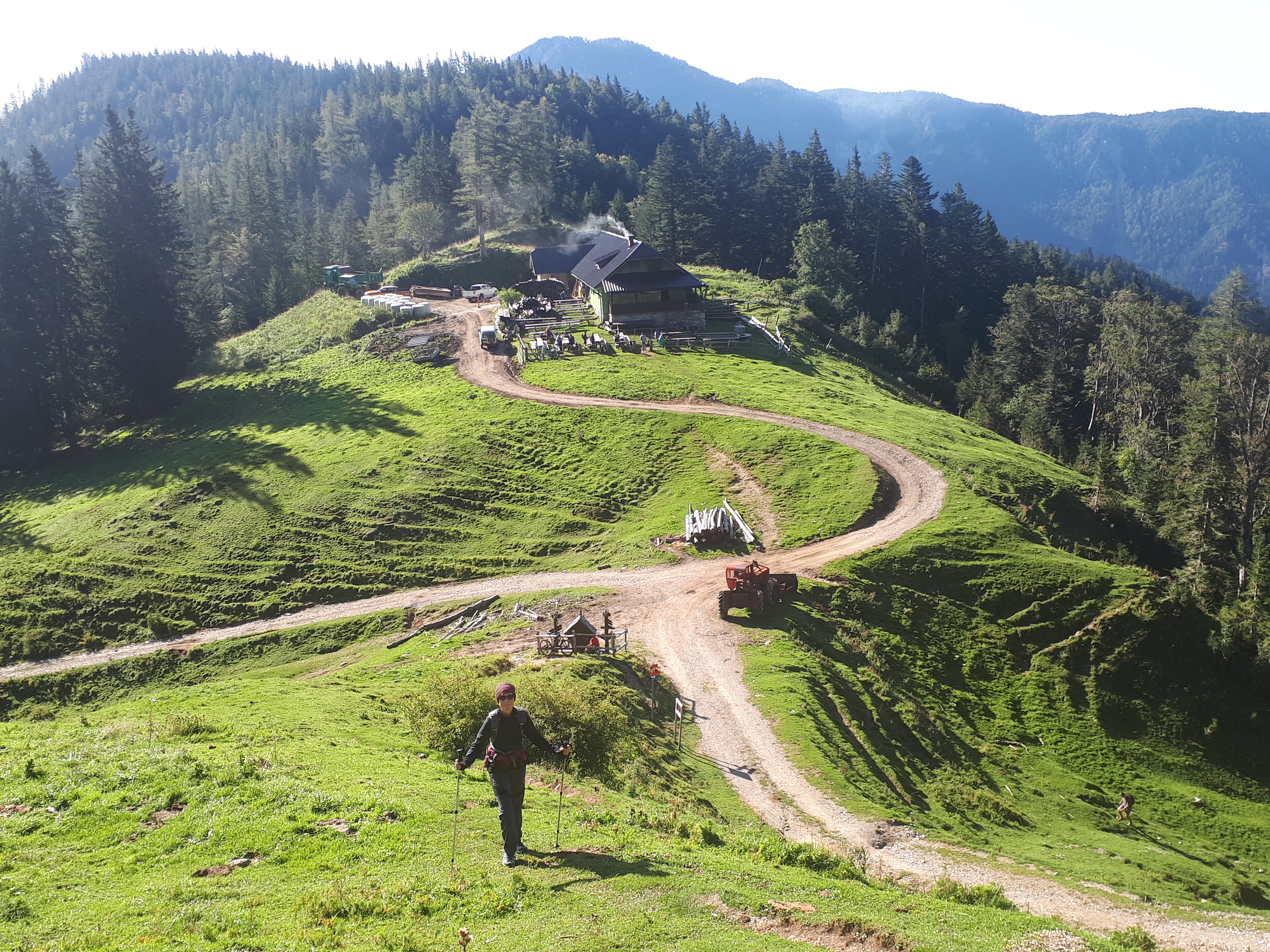
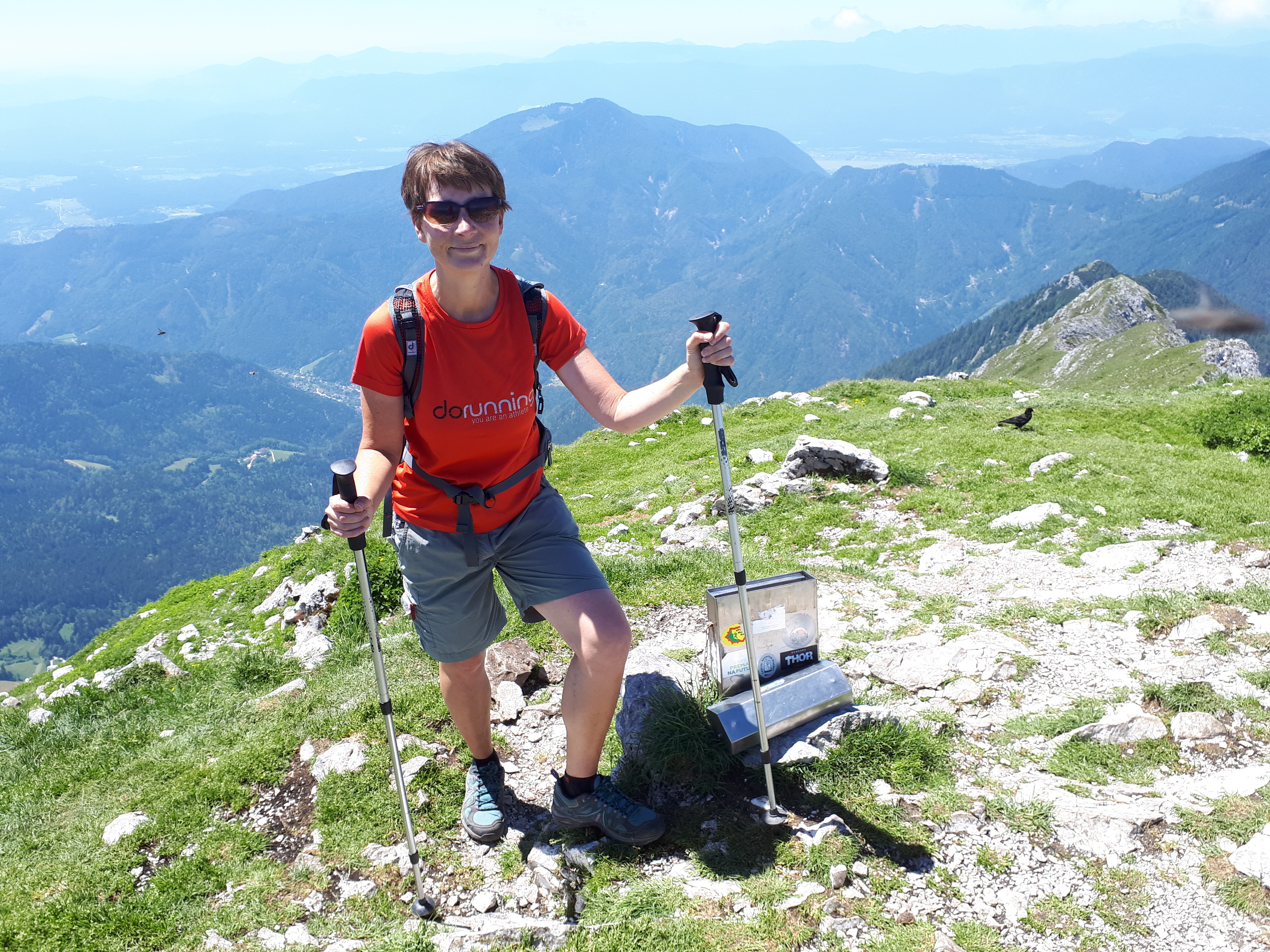
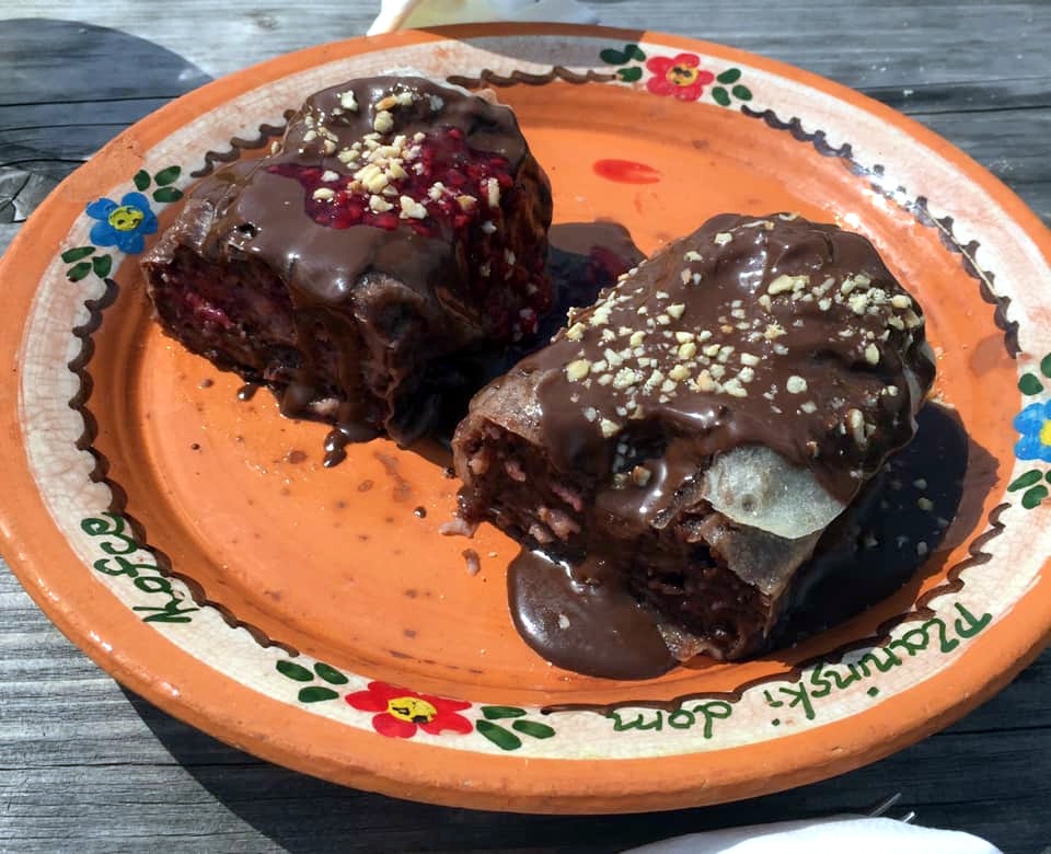
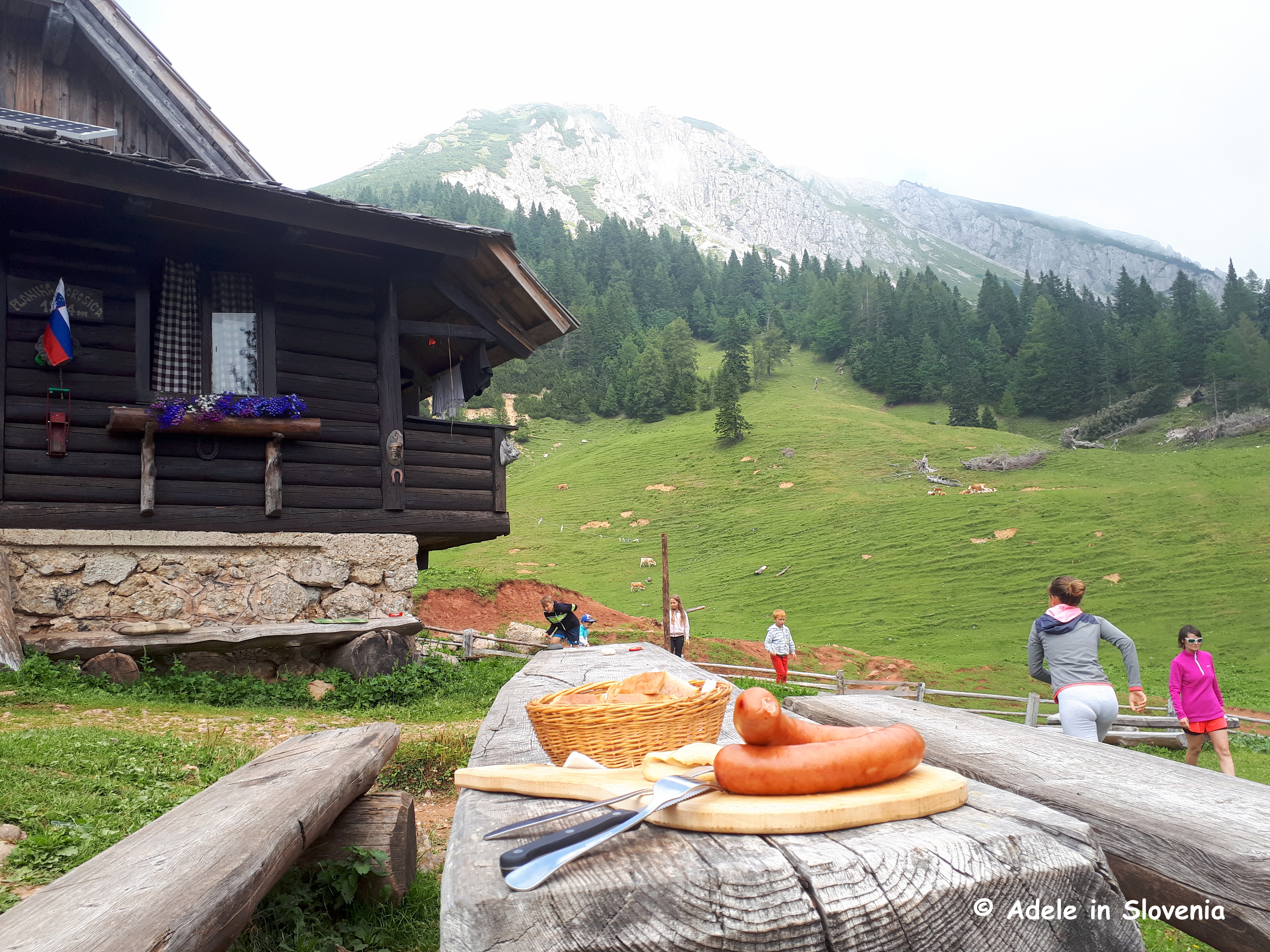
Last Wednesday, however, the decision was easy, as I had found out that the lady who runs the mountain hut on the Vodiška planina mountain pasture makes gluten-free štruklji, a real rarity indeed, in fact, quite possibly the only mountain hut that offers them.

It’s actually quite difficult to describe what štruklji are, other than to say they are made using a light dough mixture that is rolled out very thinly then filled and rolled, like a Swiss roll, before being steamed or boiled. The fillings can be sweet or savoury, depending on how creative and adventurous you want to be!

Photo: štruklji at Gostisce Draga in the Draga Valley

I can count on one hand how many times I’ve eaten them since being diagnosed with coeliac disease, so to find gluten-free ones, and so close to home – relatively speaking – is a real treat.

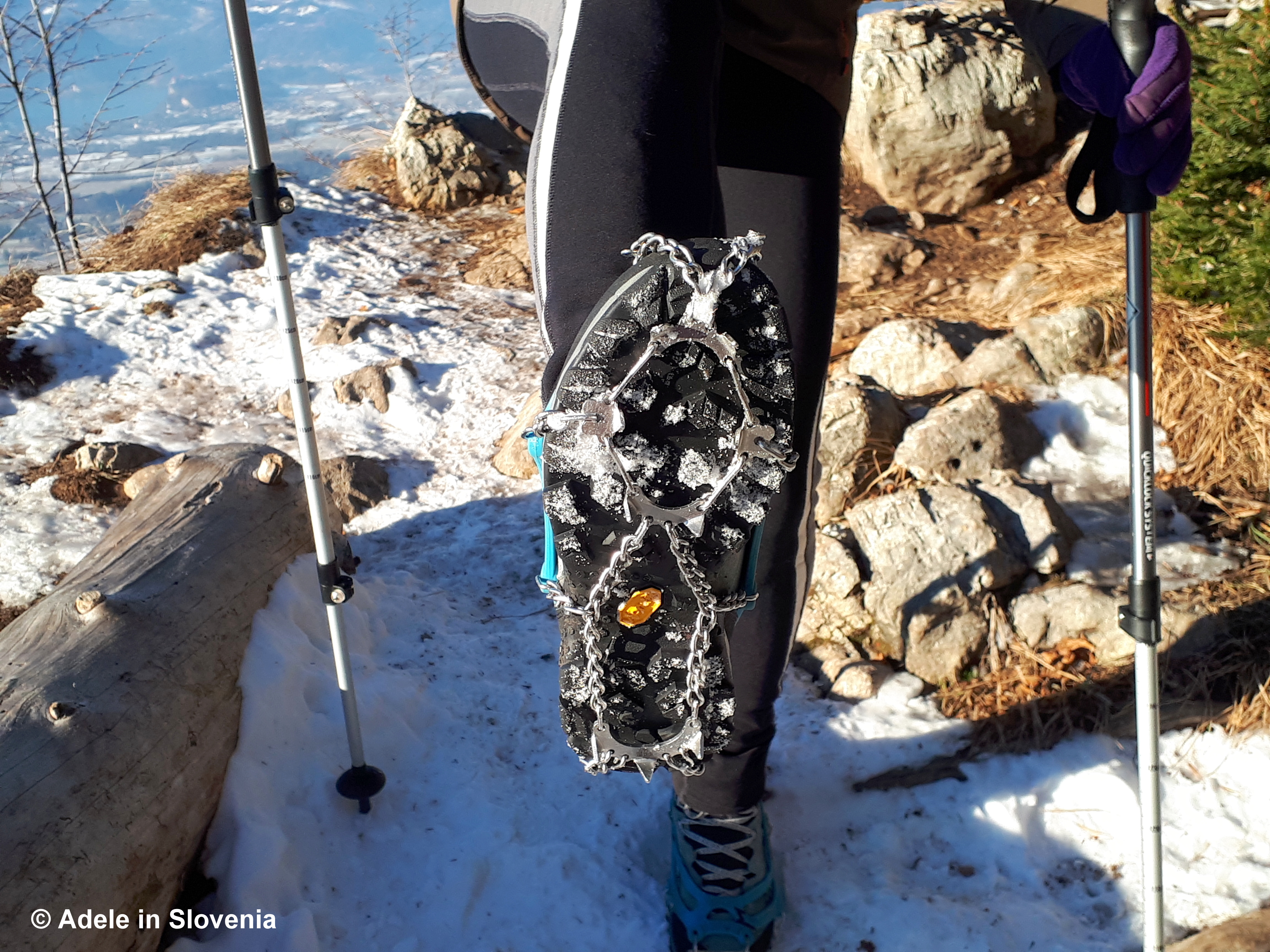
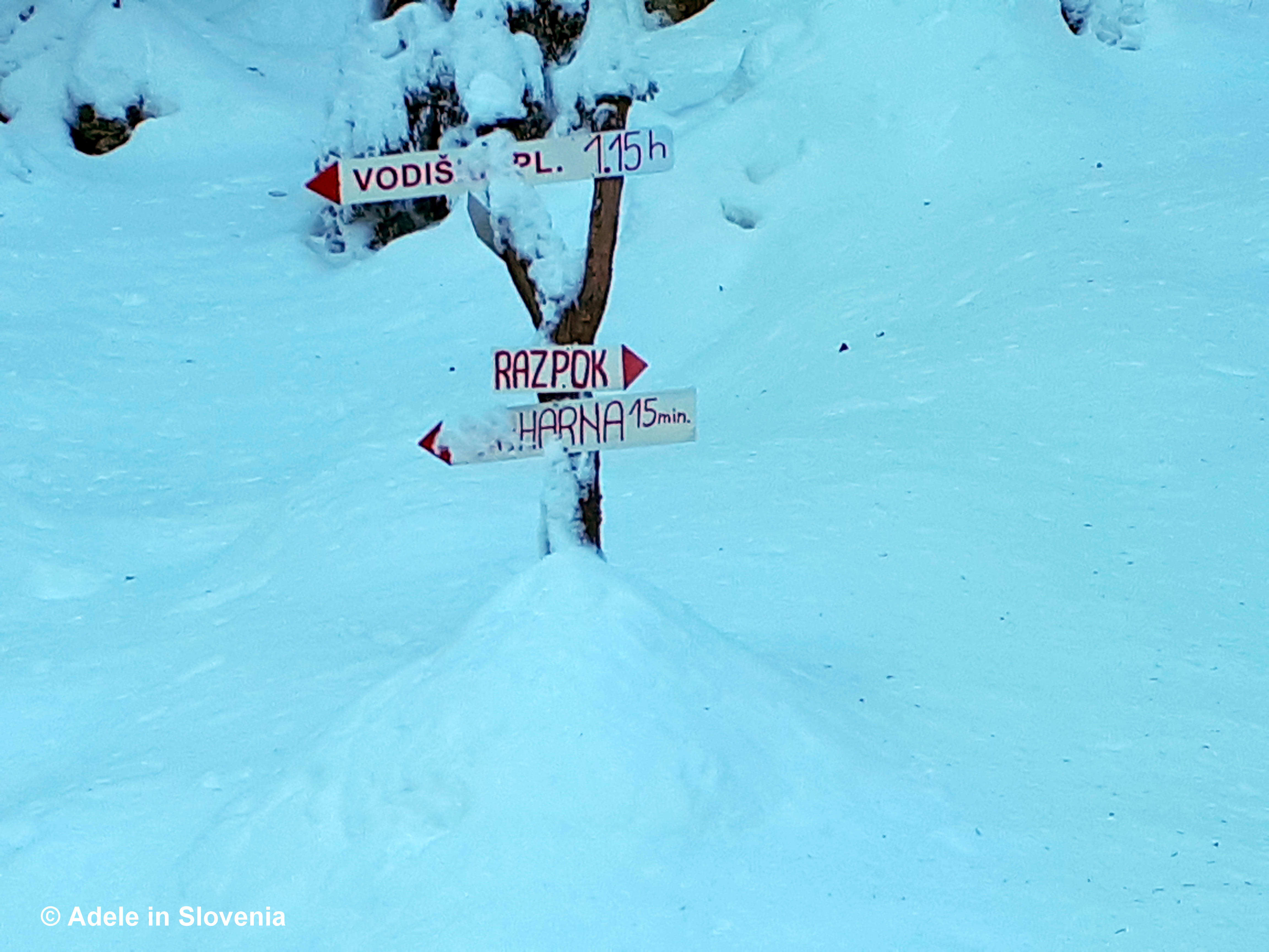
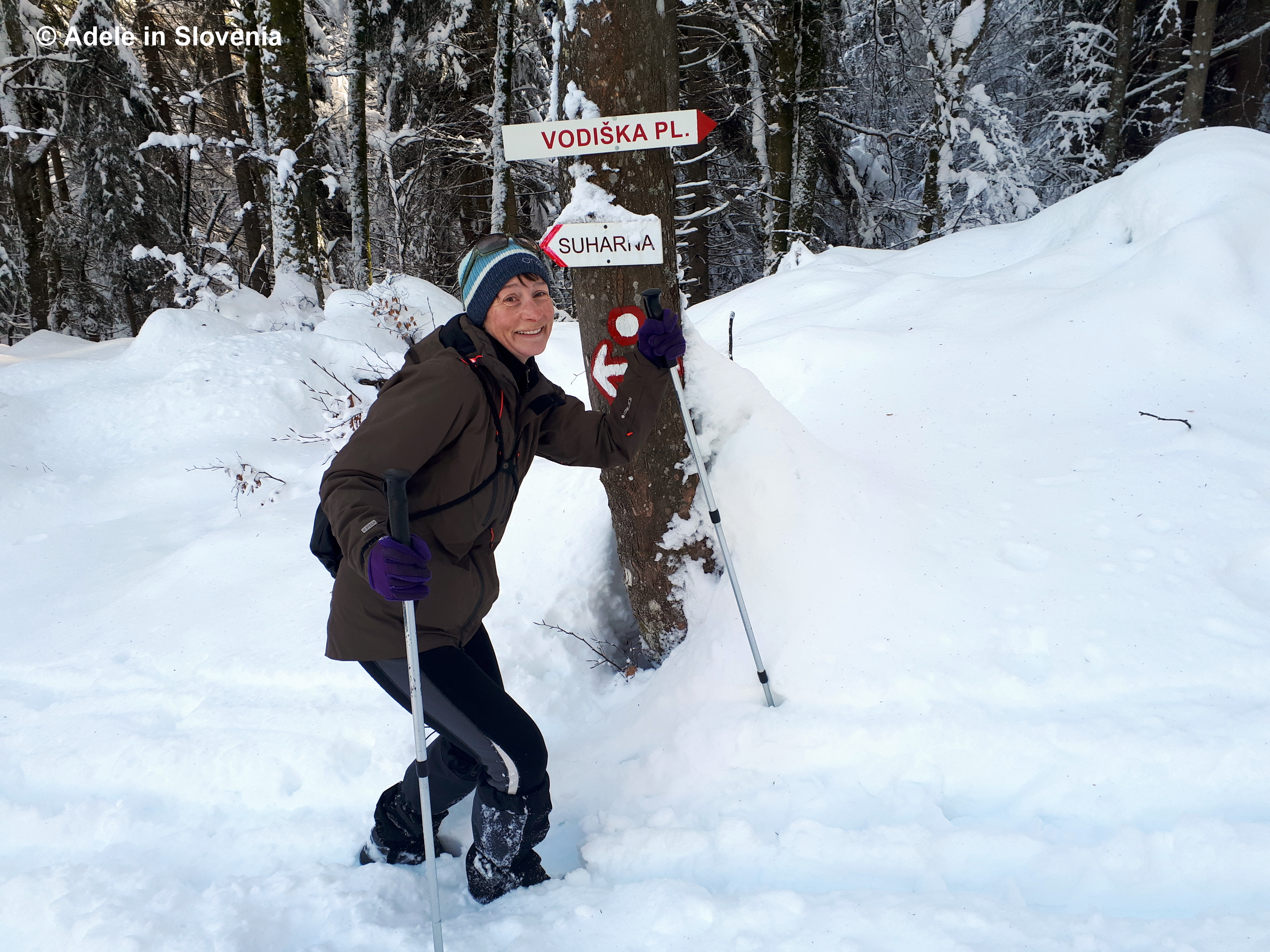
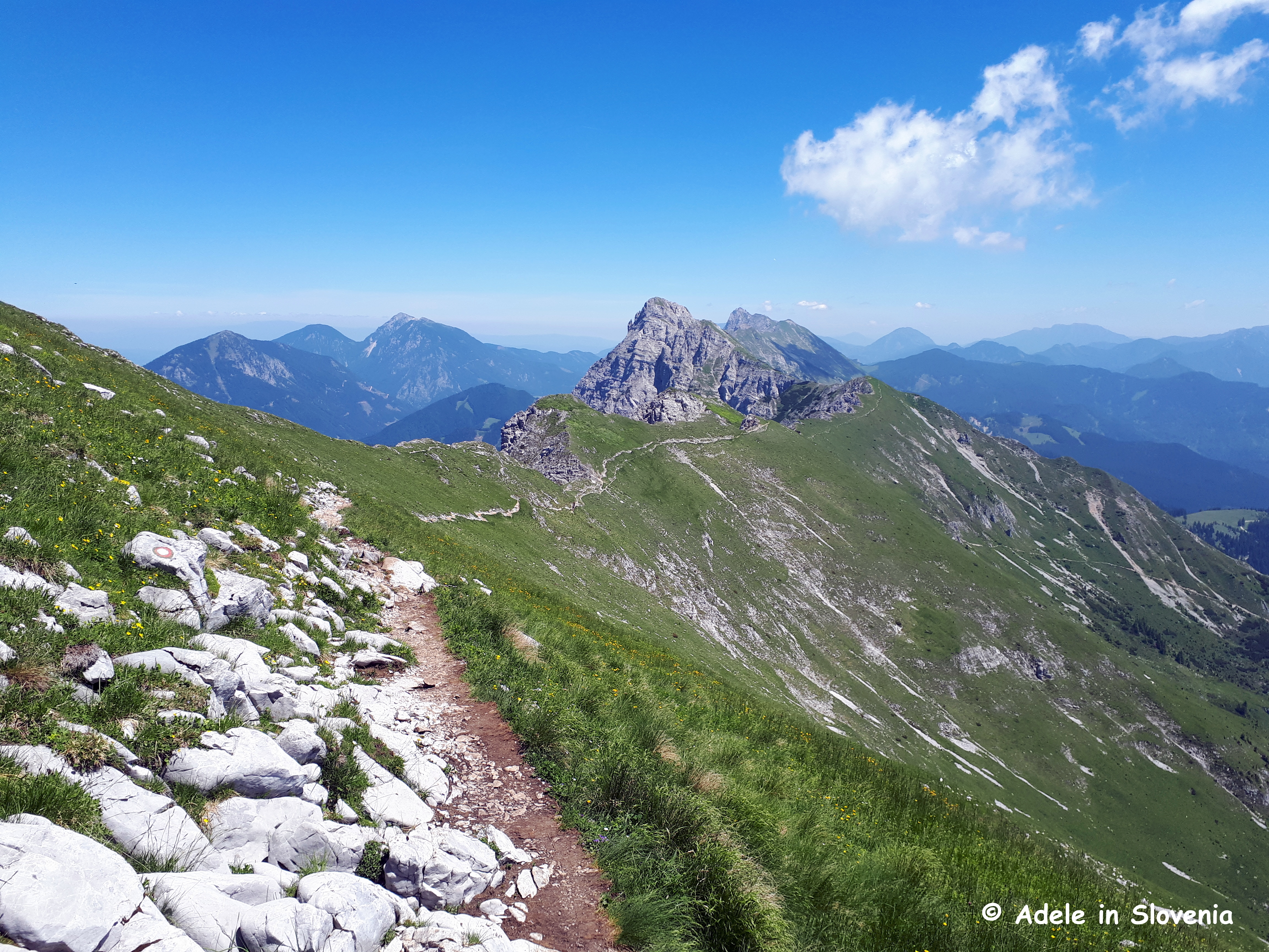
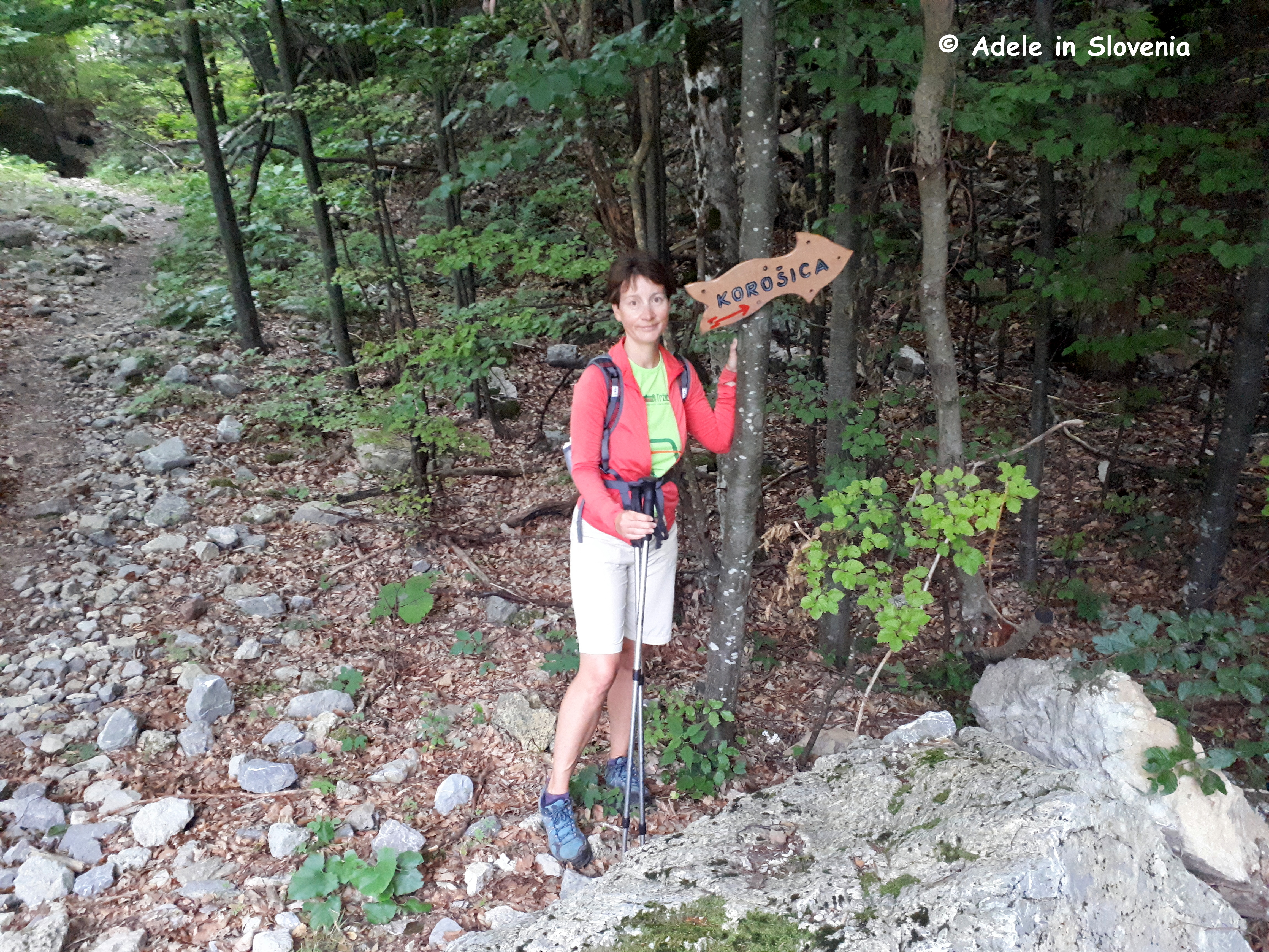
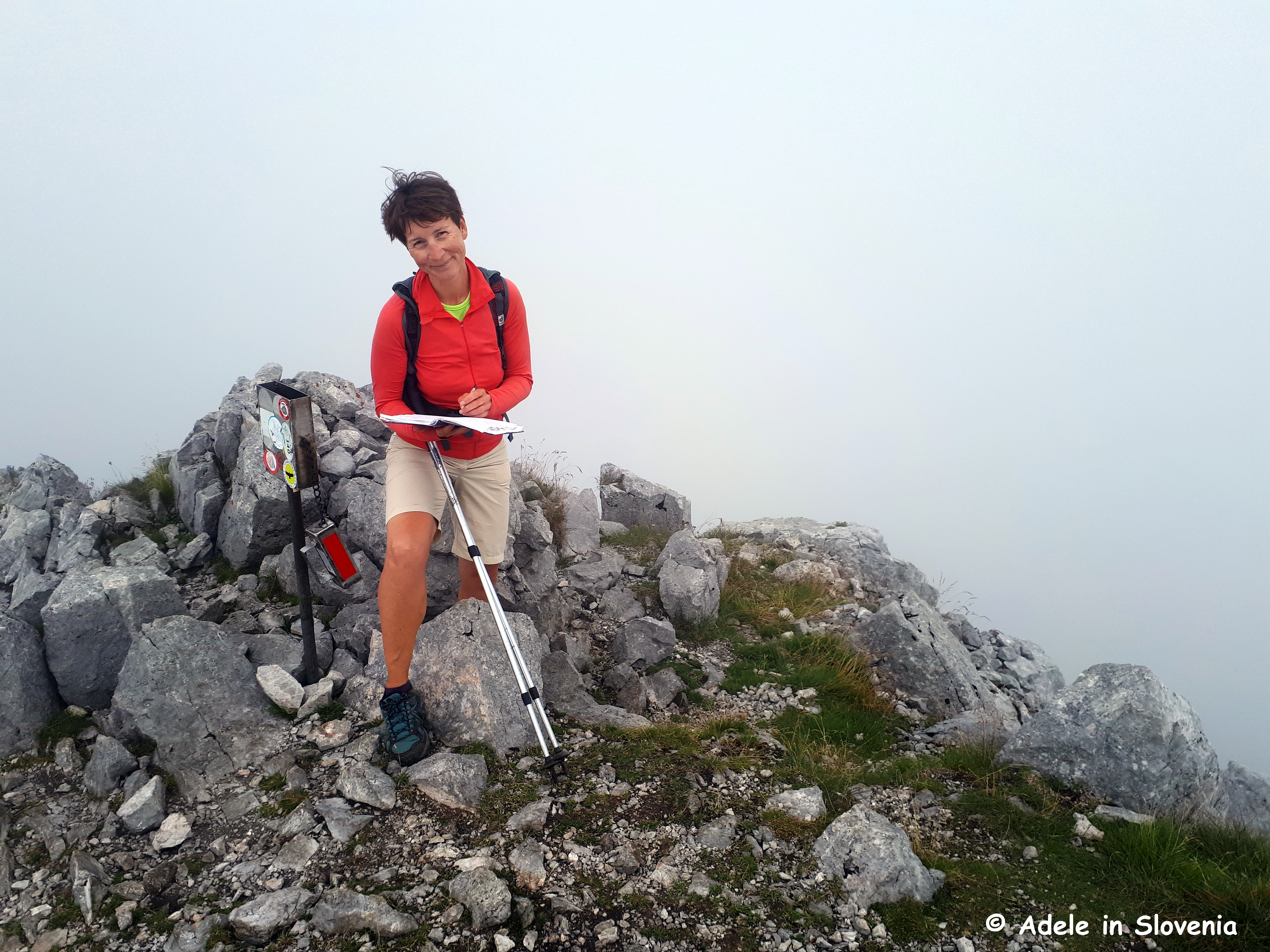
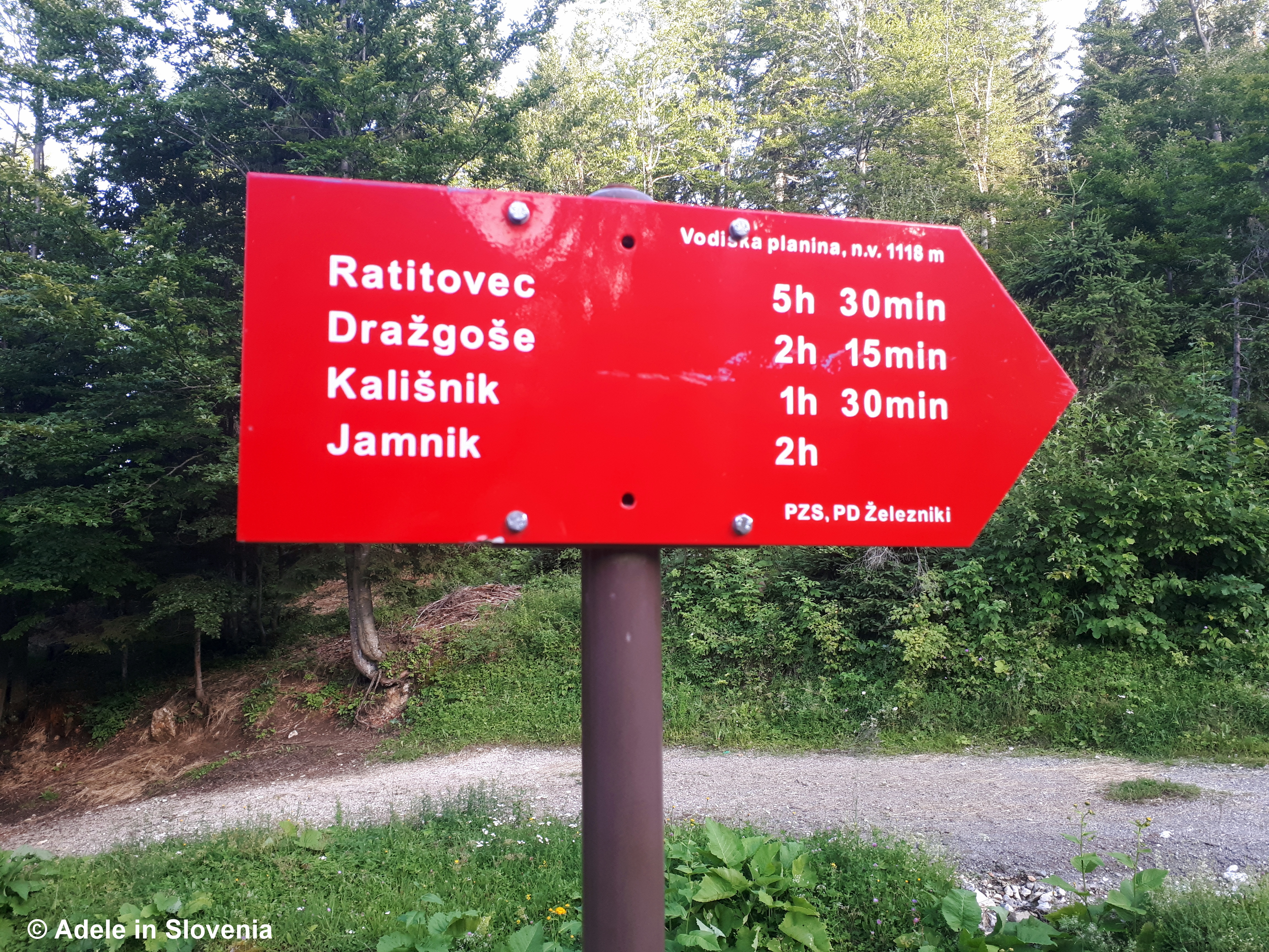
Below I’ve described the route I took up to the hut, which begins in Kropa, but there are also numerous other routes up to the Vodiška planina mountain pasture, including from the village of Kamna Gorica.

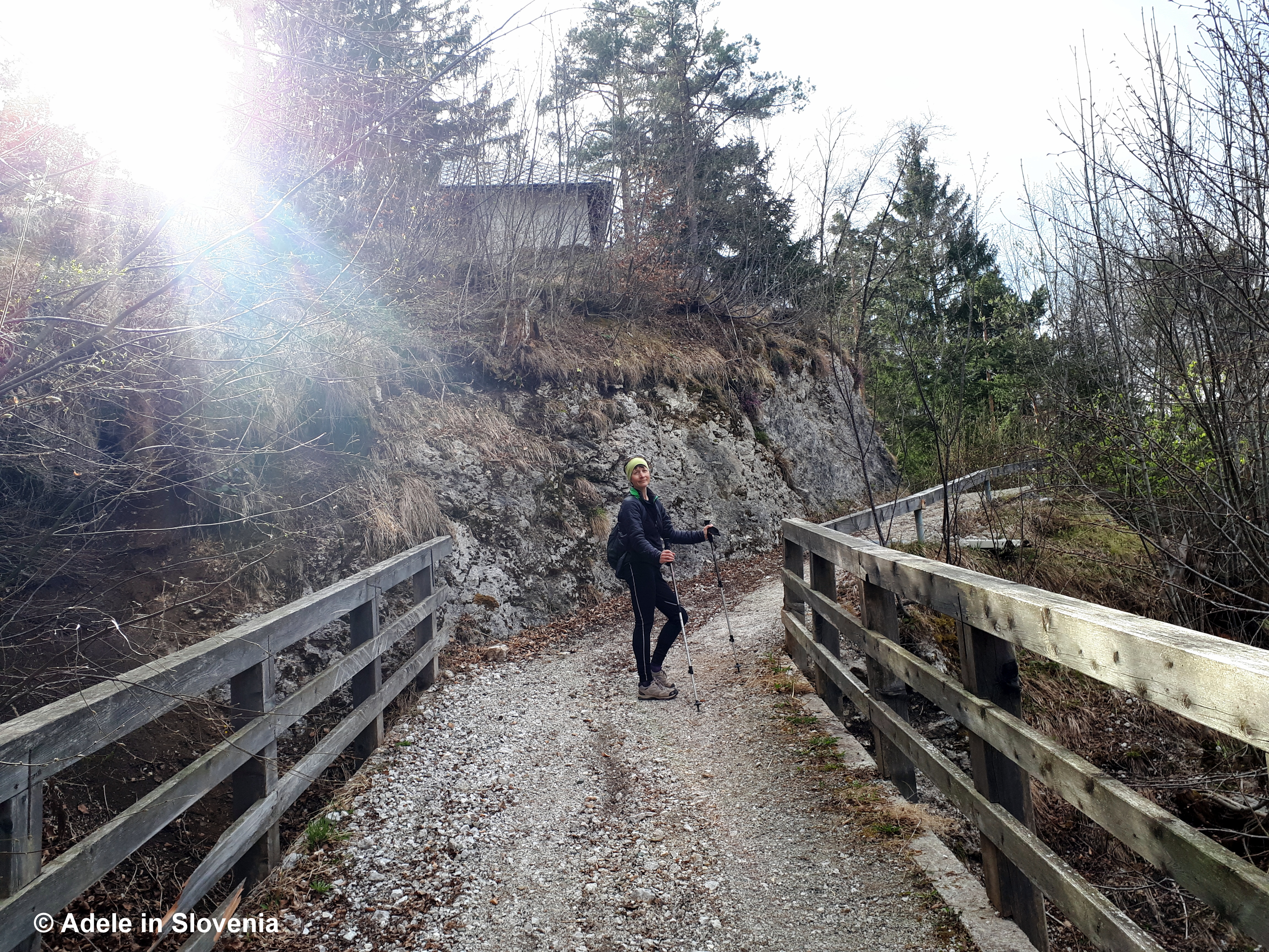
The most direct, albeit steepest, trail begins at St. Leonard’s church – one of two churches in the village.

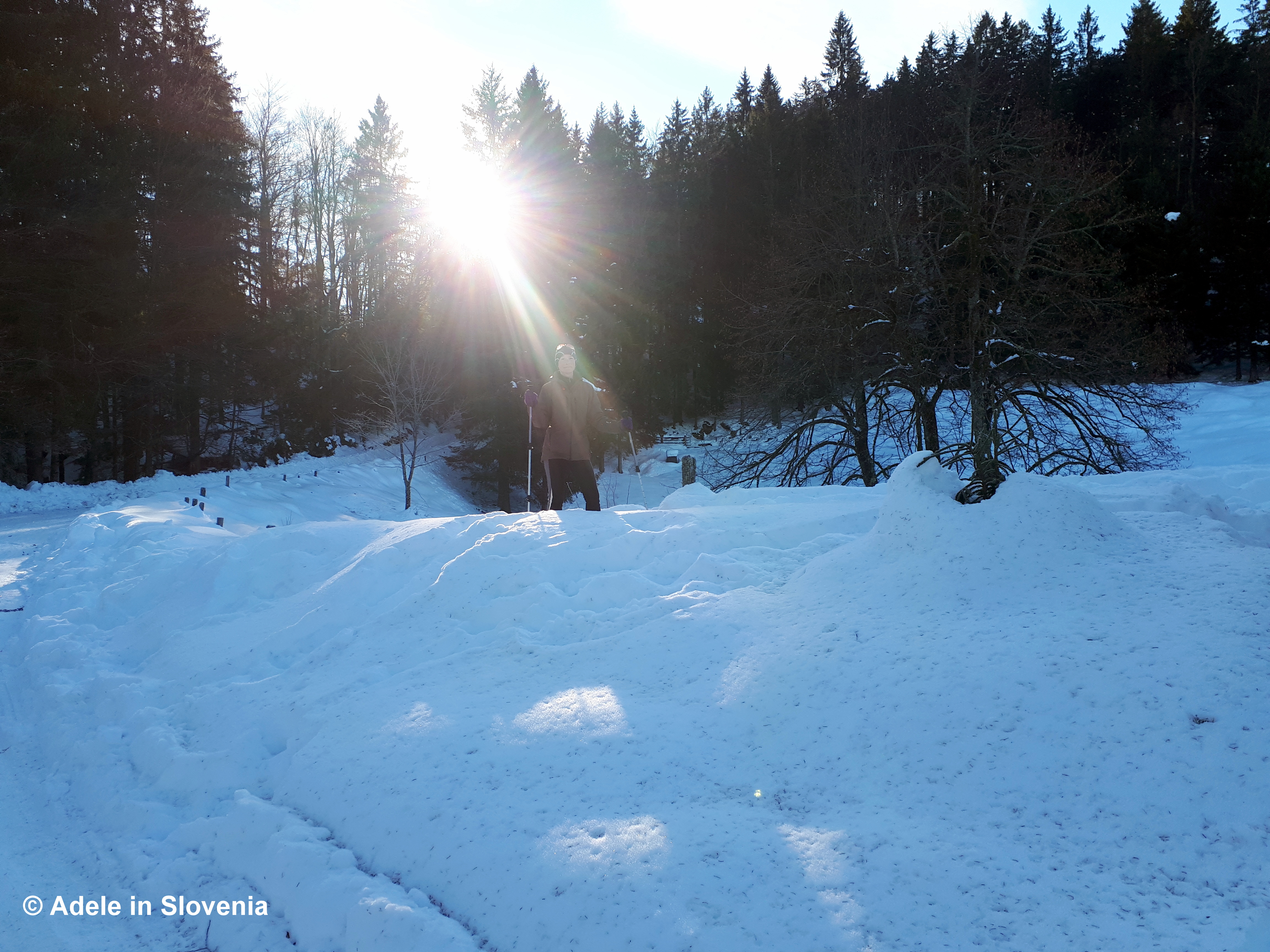
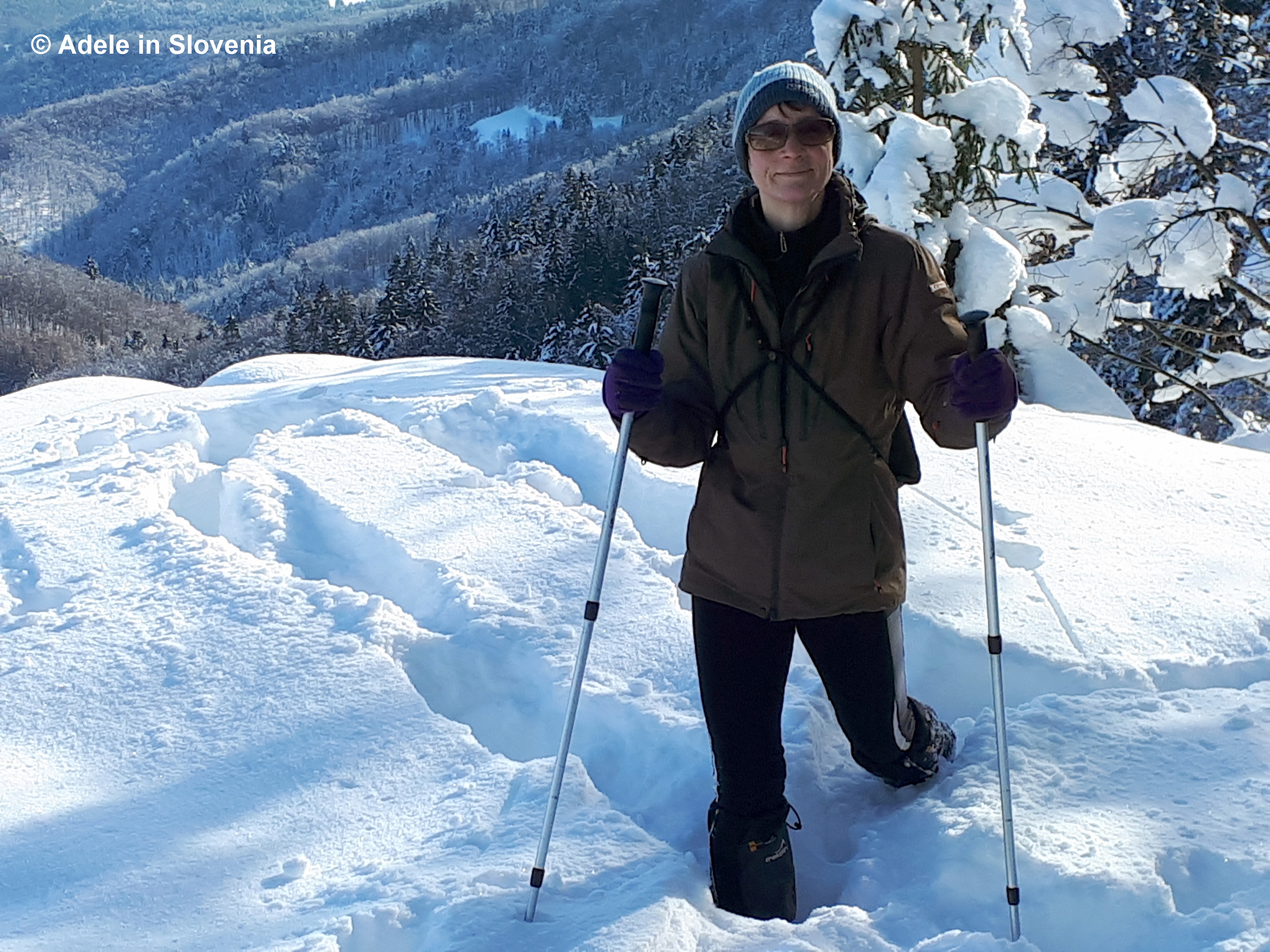
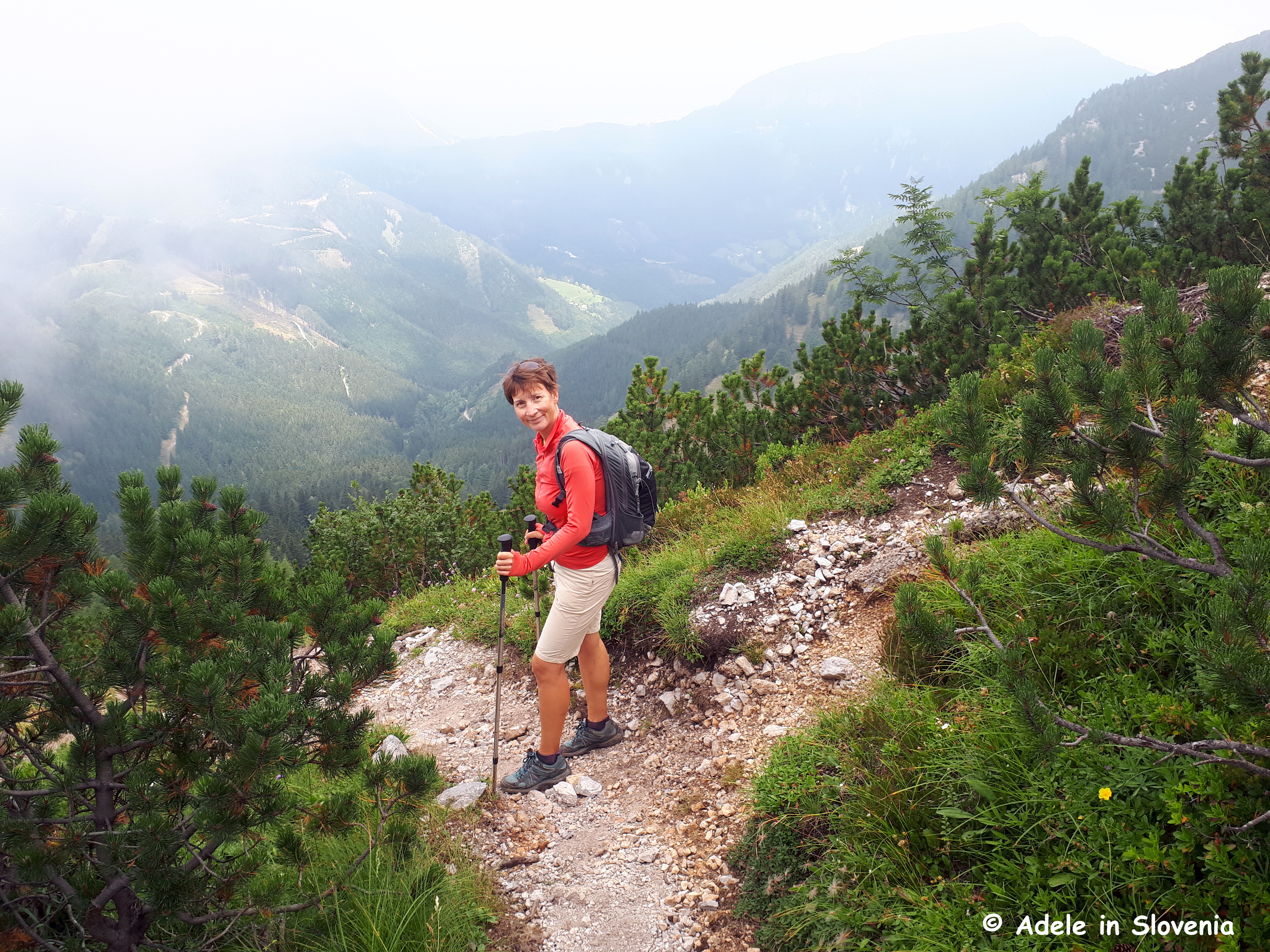
The trail leads steeply up through the forest, with not much let up in terms of steepness until about the halfway point, which is the meeting point of paths that the lead up from other parts of Kropa.

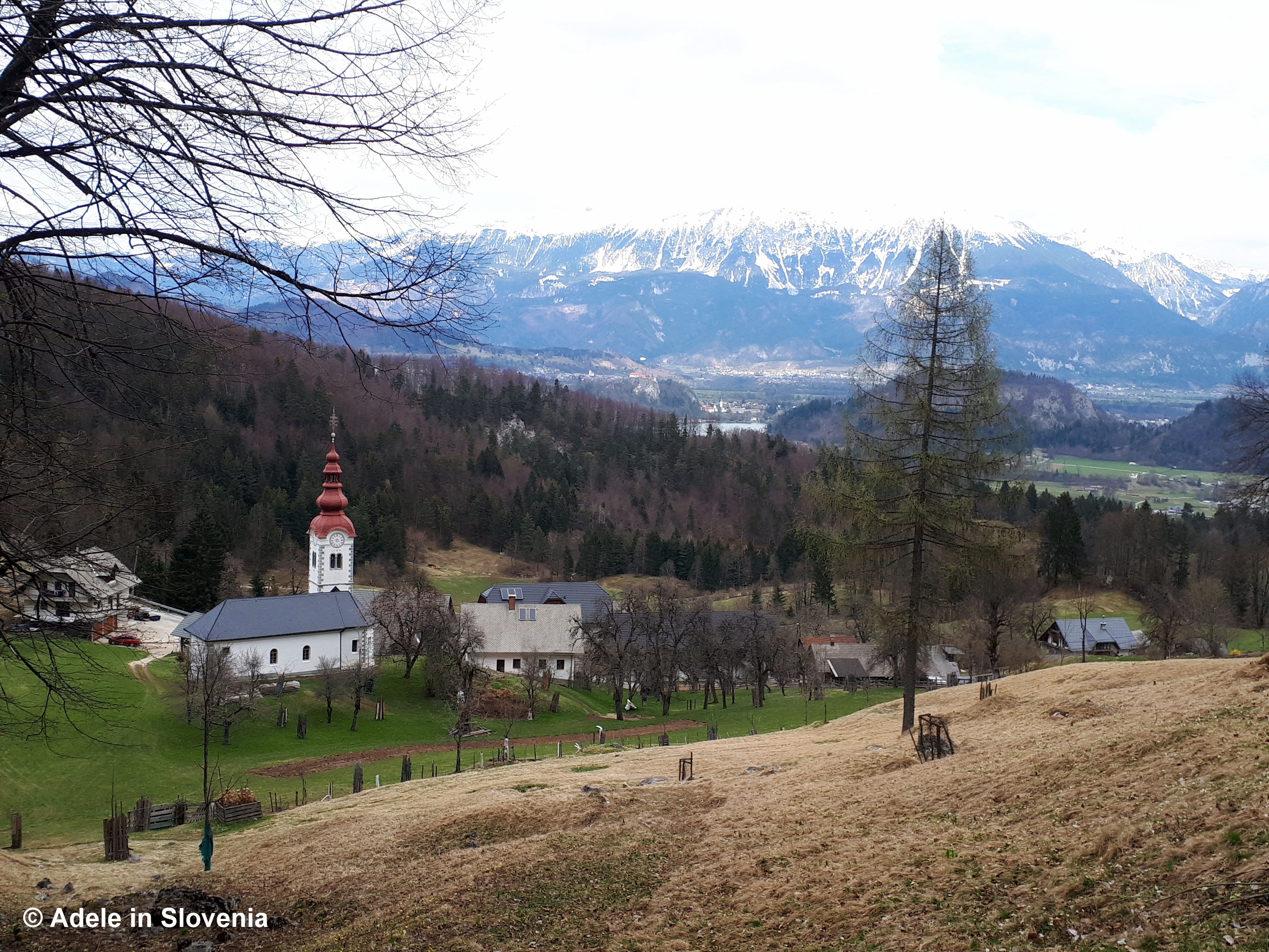
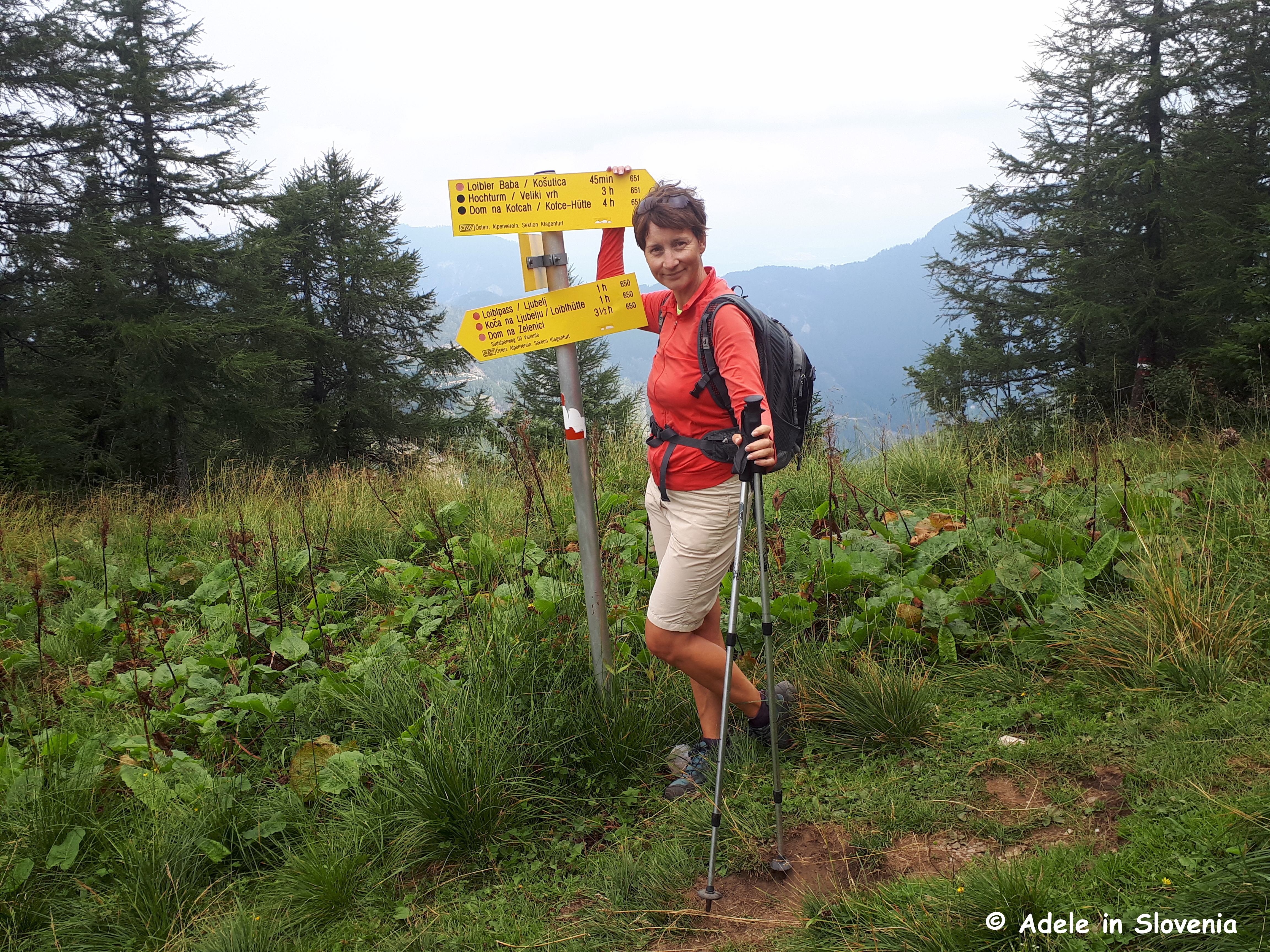
It takes about half an hour to reach the halfway point, then within another half an hour or so, you emerge onto the mountain pasture.

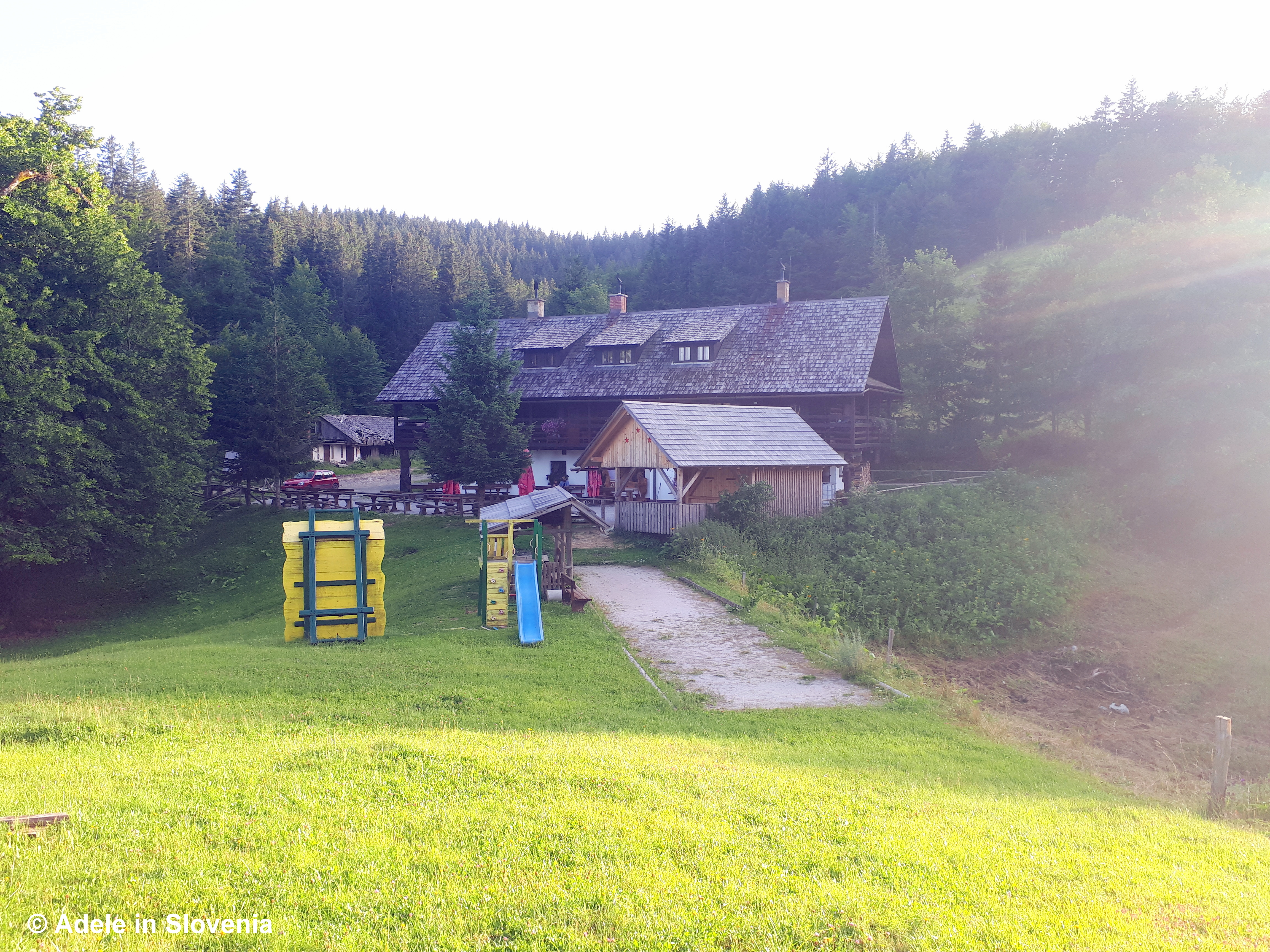
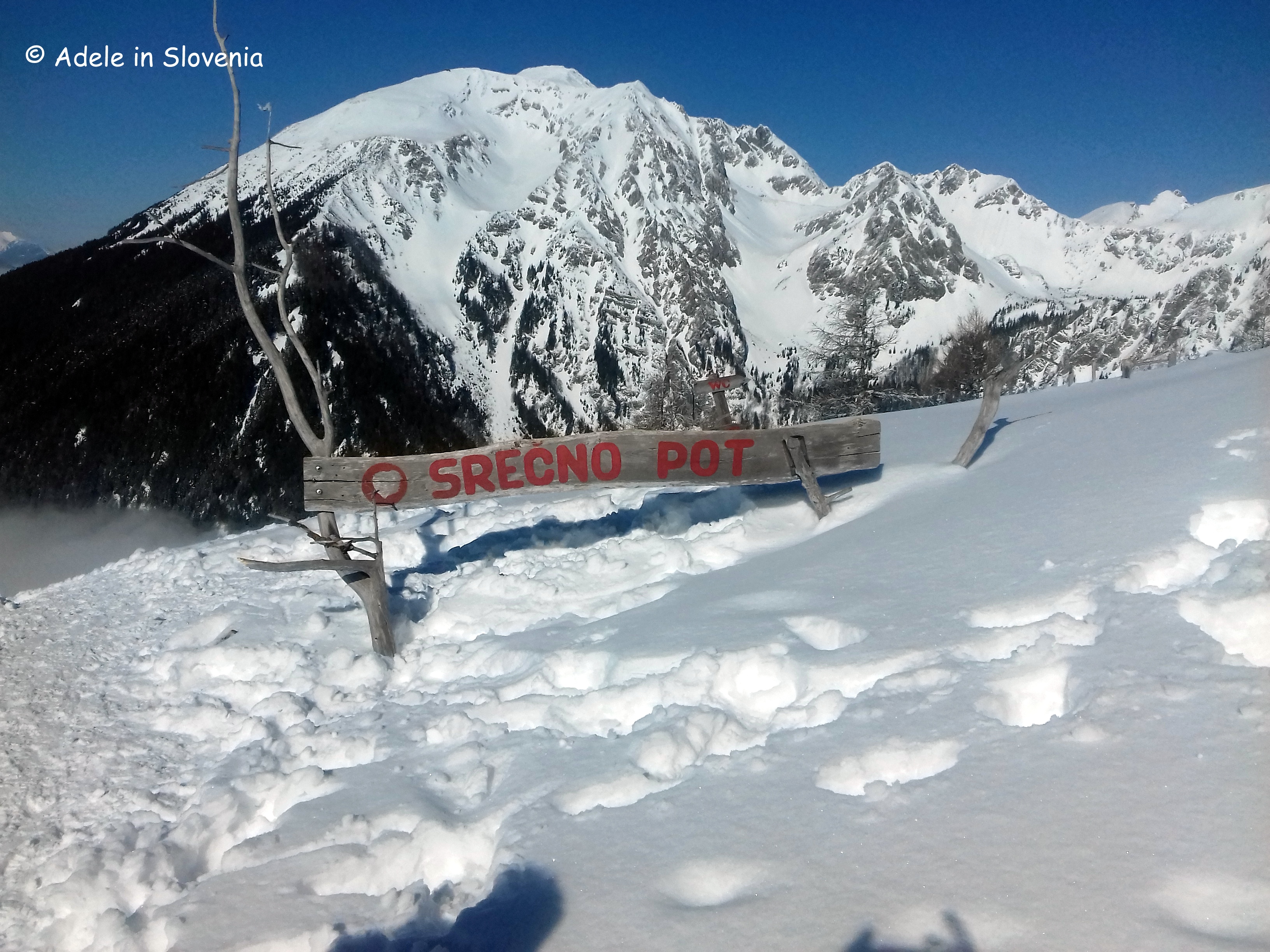
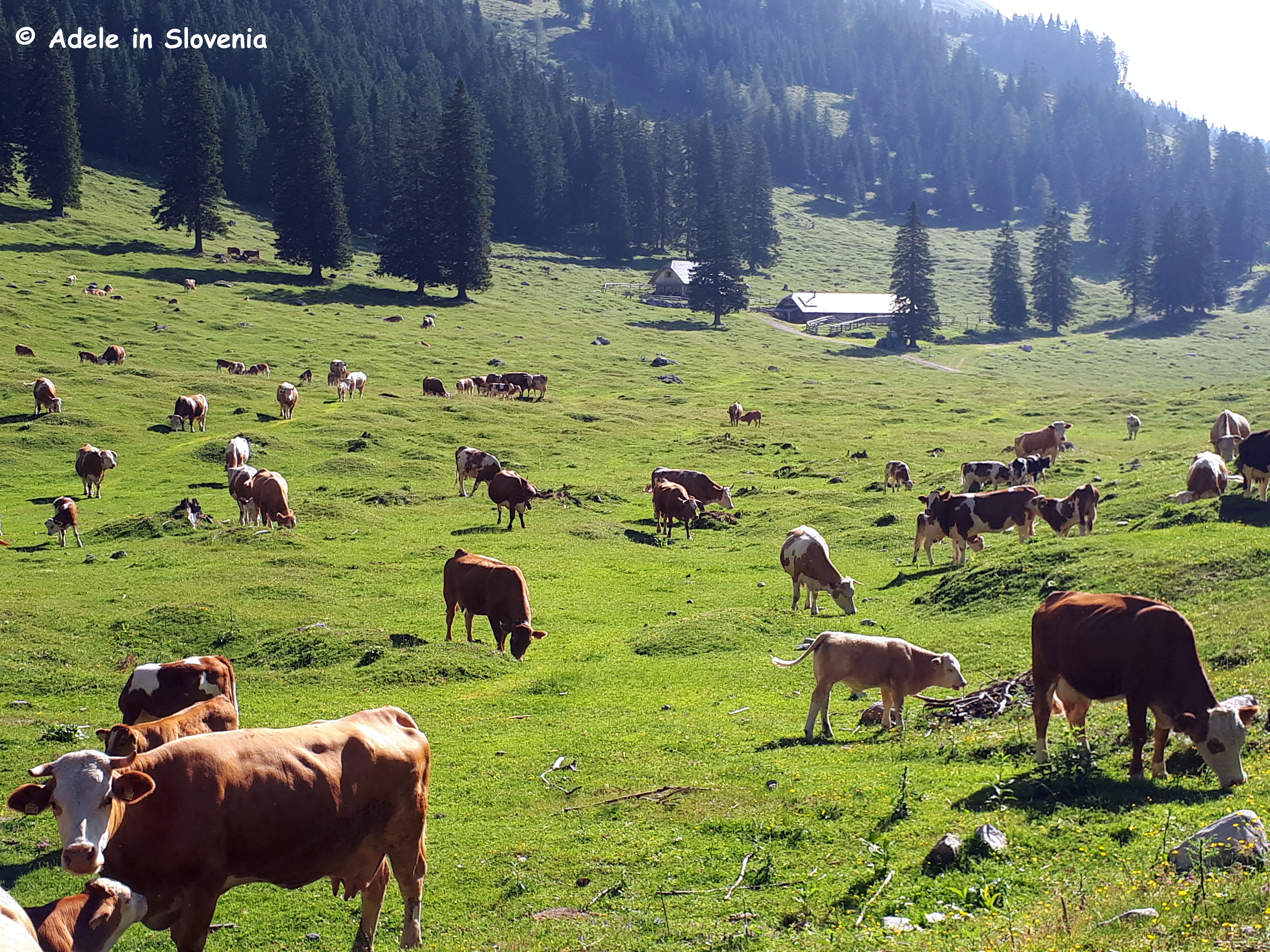
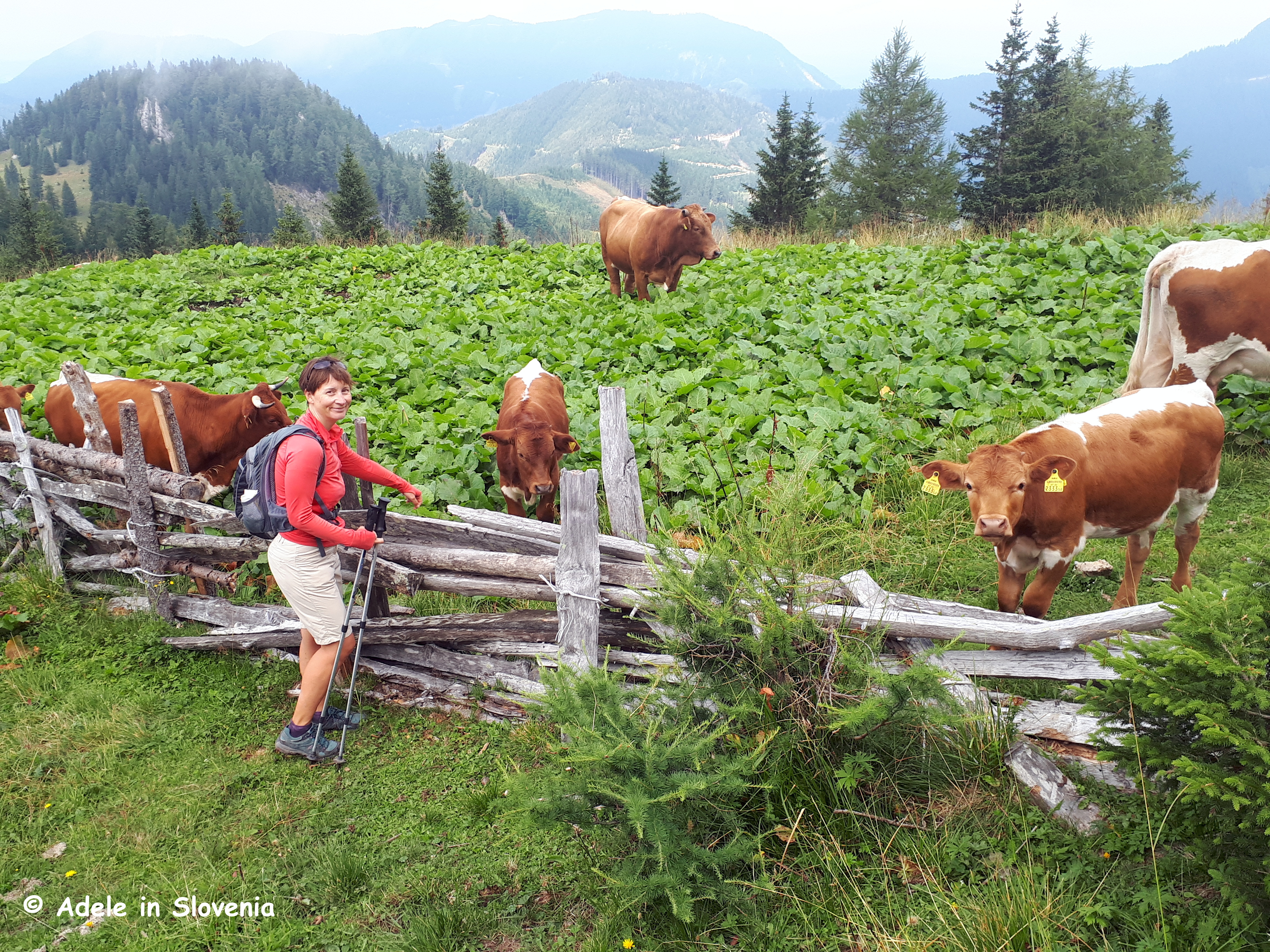
The pasture is also a meeting point of numerous trails, so you can easily extend your hike in numerous directions.

But this time, we were there for the food! Those with coeliac disease, or those of you who know someone with it, will know that cross-contamination is a big deal (read: ‘problem’), something that so often places that claim to offer gluten-free food don’t take into account. However, as soon as I contacted the lady who runs the hut, her reply was such that I knew immediately that she knew about coeliac disease, so I had no hesitation in ordering them upon my arrival.

And I certainly wasn’t disappointed! I think my smile says it all!

In addition, because flour isn’t used to thicken any of the soups or stews, we ordered jota – a traditional Slovenian cabbage and bean stew, which you can order with or without Carniolan sausage.

Visit Radol’ca recently published a blog on its own website about what food is available at mountain huts in the surrounding area; in fact, it was whilst translating the blog that I discovered that gluten-free štruklji were available! Click here to read more and Dober tek (Enjoy your meal!) as we say here!

© Adele in Slovenia


All Trails Lead to Talež!

I could probably almost write an entire book about the various paths that lead to Talež – a vantage point on the Jelovica plateau with magnificent views over the Radovljica plains, Bled, the Karavanke mountains and towards the Kamnik-Savinja Alps. However, as I’m writing a blog rather than a book, below I’ve provided a brief overview of just some of the trails that lead up to Talež, so you can pick the one that suits you, depending on where you are starting/staying.

From Radovljica the most direct route leads down from the old town over the bridge above the railway line, down Cesta svobode road to reach the bridge across the Sava river at Lancovo. Cross the bridge then turn immediately right and after just cca. 100 metres take the left fork. Continue for cca. 150 metres to another fork, where you should continue straight ahead (not up to the left).

After passing a few houses on your left, you will enter the forest. Continue to the first green waymarker to Talež, where you should turn left, then at the next waymarker turn right. Thereafter, there aren’t any other visible waymarkers but the path is well trodden, and even if you lose your way, just keep heading in a roughly westerly direction until you reach the forest road, which you then follow, again in a westerly direction, towards the Koča na Taležu (Hunters’ Hut on Talež) mountain hut.

If you are staying at the Šobec campsite, you can cross the bridge over the Sava river from the rear of the camp then continue across the meadows to reach the bridge over the Sava river at Bodešče, from where you can follow the trail up to the Koča na Taležu mountain hut. Note: this trail is somewhat easier to follow and has a couple of waymarkers.

Iz Radovljice na Bled

If you’d like to do a longer, circular walk then you continue onwards from the hut to the highest point of the Talež ridgeTolsti vrh. There are several options, but my preferred one is to continue past the hut following the green signs for Tolsti vrh.

Alternatively, for an even longer, circular walk, you can first walk (or cycle/drive) alongside the Sava river all the way to Selo, where you cross the Sava river.

Then walk up through the forest to the village of Kupljenik, passing a couple of shrines on the way.

On reaching the village you are rewarded with the first of many great views!

From the village, initially follow the marked path to the Babji zob cave before branching off towards Talež.

As this walk is at lower altitudes, it’s also ideal for late-spring (or winter if there’s not much snow). These photos were taken in April, hence you can still see snow on the mountains in the distance.

You might meet a friend or two along the way!

Whichever route you choose, you will eventually end up at the Lovska koča na Taležu hut, where you can enjoy a refreshing drink, a cake and/or something more hearty, while soaking up the views over the Radovljica Plains and the Karavanke mountains (note: out of season the hut is usually only open at weekends, during summer it is open daily).

May be an image of ‎nature, mountain and ‎text that says "‎소충 ሞ0 שעי‎"‎‎

Click to find out more about the numerous theme trails and hiking trails in the Radol’ca area.

Happy hiking!

© Adele in Slovenia

Winter Hikes and Spikes in Radol’ca!

At last, I’ve found time to sit down and write my first blog of the year 2022! It’s been a funny old winter so far. First a lot of early snow in December, followed by a very cold spell, then an unseasonably mild spell, followed by rain, a bit more snow and now another really cold spell, albeit now at least with beautiful blue skies and sunshine.

Although I’ve never been a fan of the cold and snow, I’m also not one to sit indoors, regardless of the weather (and my ongoing health woes). So, here are a few ideas for winter hikes in the Radol’ca, oh, and read on to find out about the ‘spikes’ (as mentioned in the title) too!

One of our favourite hikes at this time of the year is to Smokuški vrh above the village of Begunje na Gorenjskem. Since we like doing circular routes and prefer to leave the car in the garage, when we have time we often set off on foot from Radovljica to Begunje (cca. 50 minutes), where we take the path that begins near the post office and leads steeply up to St. Peter’s church (cca. 30mins).

From the church, we carry on up to Smokuški vrh on the ridge, which is a great vantage point.

We then walk along the ridge, with stunning views of the Julian Alps and Slovenia’s highest mountain – Triglav – before descending towards the village of Rodine and back through Hraše and Lesce to Radovljica.

Now onto the ‘spikes’ I mentioned above…As also mentioned above, it’s been a mixed bag this winter, which means that although some places at lower altitudes are now almost snow-free (up to around 800metres above sea-level), in the forest, particularly in areas that don’t get any/much sun and paths that are well used, the paths are really icy in places, hence ‘spikes’ i.e. mini crampons, are a ‘must’ in my rucksack wherever I go.

So, if you are planning any hikes in winter, I’d advise you bring (or buy while you are here) a pair of these mini crampons – you can pick them up for around €30, they are very lightweight and quick and easy to put on. Note, however, that these crampons are NOT suitable for more strenuous and higher mountain tours, for which semi-automatic crampons are a must at this time of the year.

And what’s more, the ones I’m ‘modelling’ below, are even made here in the municipality of Radovljica – at the Veriga factory in Lesce, where you can buy them direct of pick them up in sports shops.

My other favourite places to hike in the Radovljica area in winter include the Goška ravan mountain pasture and hut on the Jelovica plateau

The Roblekov dom mountain hut, above the Draga valley on the slopes of Mt. Begunščica

And the Vodiška planina mountain pasture and Partisanski dom mountain hut above Kropa.

You can find out about all these hikes and more about winter in Radovljica, visit the Visit Radol’ca website. Happy and, of course, safe hiking!

© Adele in Slovenia


Winter Hikes on the Jelovica Plateau

So, in addition to the ongoing (and boy is it going on…) coronavirus situation, in this part of Slovenia we have already had the highest snowfall in 43 years – and winter is far from over. I, for one, hope it’s also the last time for the next 43 years!

Regular readers of my blog will know I’m not a fan of snow, so this is by far, already, the hardest winter for me since moving here in 2007, and with the restrictions in place due to ‘the’ virus, there’s nowhere to escape, and no way of escaping, snow, so one just has to put on a brave face and plenty of winter clothing and get out there and ’embrace’ it.

Yesterday was the first day for around a month that it was due to be sunny, albeit it bitterly cold, so it was finally time to head out for a long hike to get some photos for my blog. Due to the restrictions in place, as well as the snow, there’s not a huge choice of places to go where a) we are allowed to go, b) the risks of avalanche are minimal, c) there are no problems with parking and no crowds – the latter turned out to be a particularly good move as the headlines on the news on Saturday were about the major traffic problems in the most popular winter sports areas. Thus, the obvious choice for us was the Jelovica plateau, which is right on our doorstep and which we can reach on foot from home. In fact, we’ve grown to love the wide choice of routes on the plateau so much, they are now likely to become a staple among our local hikes, even when we are allowed to go further from home!

We started from home in Radovljica at 8.30am, first down to Lancovo and then onwards towards the hamlet of Kolnica in Spodnja Lipnica.

From there we continued up to the Suharna viewpoint above the Lipnica valley. You can also read more here about my first hike to Suharna earlier in the year, which, believe me, was a lot easier than trudging through the snow now!

It usually takes around an hour to reach the viewpoint but you always need to allow about half as much time again when walking in snow, and even more if the snow is knee (or thigh!) deep.

After hiking up through the forest you reach a road (yes, that really is a road you can ‘see’ below!), where the ‘path’ to Suharna continues to the left. The path is well marked throughout, provided the signs are visible beneath the snow, that is!

From the viewpoint there are far-reaching views across the Radovljica plains, the Karavanke mountains, the Kamnik-Savinja Alps and towards the Ljubljana basin.

Just don’t get too close to the edge as there is a sheer drop beneath that snow behind me!

We decided not to take a seat on the bench – can’t think why! – and instead returned to the intersection of paths and began our way, slowly, towards the Vodiška planina mountain pasture.

There are numerous paths that lead to the mountain pasture. This one proved to be a good option as we met few people along the way and it allowed us to do an entirely circular hike. Fortunately someone – though it looked like only one person – had already hiked that way that morning, so the trudge through the snow was at least somewhat easier.

From Suharna it would usually take around 1.15 hours to reach the Partizanski dom mountain hut on Vodiška planina but, again, it took us quite a bit longer due to the snow and we finally reached the mountain hut at just after 12.30pm, thus four hours after leaving home.

A flask of tea is an essential in winter, and even more so now when the huts are closed.

From the hut there are numerous paths the lead down towards Kropa. We took the one that leads towards the Stočje – the lower part of Kropa – which brings you out near the swimming pool.

The mountain pasture is only 1,108m and there’s over a metre of snow, whereas in the higher mountains there is over 3 metres of snow this year already. So, if you do plan any winter hiking, please do ensure you only choose familiar and/or well-trodden paths that are low risk in terms of avalanches and, of course, you need the full gamut of winter gear including gaiters, crampons, an ice axe (if going higher) and not forgetting a flask of tea!

From there we returned along the pavement to Kamna Gorica and from there we took the path that leads over the Fuxova brv footbridge back to Radovljica. The total hiking time from door-to-door was around 7 hours, and two pleasantly tired hikers certainly enjoyed their (gluten free!) pizzas once home!

You can read more ideas for winter hiking in my previous blog ‘5 Great Winter Hikes in Radovljica’

© Adele in Slovenia

52 Shades of Radovljica – Part One!

The COVID-19 lockdown in Slovenia, which from 30th March meant that we were not allowed out of our municipalities, was finally lifted today, hooray! Of course, we aren’t out of the woods yet; strict social distancing measures are still in place, we still have to wear masks in enclosed places, there’s still no public transport, schools are still closed…but things are gradually beginning to open and get back to some degree of normality.

Other than a somewhat uncomfortable feeling of a loss of freedom, fortunately, it actually didn’t affect me too much since I work from home and the municipality of Radovljica has so much to offer in terms of the great outdoors. In addition to my usual local haunts, it was actually quite interesting working out and planning just where (and where not) I could hike and cycle. I was surprised to discover that the municipality of Radovljica comprises a whopping 52 towns, villages and hamlets!

This gave me an idea for a blog – well actually two – in which I will photograph and describe (in brief!) each – or most – of the 52. A task-and-a-half indeed! So, in alphabetical order, here is the first half!

Begunje na Gorenjskem – one of the bigger villages in the municipality, with plenty to see and do! The birthplace of Slovenian national folk music, home to the Avsenik Museum, the Elan Alpine Skiing Museum, the Draga valley, Kamen Castle, and more.

Brda – a small hamlet at the start of the Lipnica valley near Lancovo.

Brezje – this village, though small, is considered Slovenia’s national pilgrimage site and is home to the Basilica of Mary Help of Christians as well as the Nativity Museum.

Brezovica – a hamlet in the Lipnica valley near Kropa.

Češnjica pri Kropi – follow the windy road up to this sunny settlement for wonderful views of the Karavanke mountains.

Črnivec – a small village near Brezje with a pizza place and a restaurant.

Dobravica –  a small hamlet near Češnjica pri Kropi.

Dobro Polje – another small hamlet, this one is near Brezje.

Dvorska vas – a small settlement near Begunje, home to the Lambergh Chateau and Hotel.

Globoko – a small settlement, which is home to the Barbaner Lipizzaner stud farm and the Globočnik homestead, which is about as traditional and homely as it gets!

Gorica, just a handful of houses but also a great mini golf course!

Hlebce and Hraše – two small settlements between Lesce and Begunje that I often confuse as they are located parallel to each other and both start with the letter ‘H’!

Kamna Gorica – sometimes also referred to as Slovenia’s ‘Little Venice’ due to its numerous water channels, the village is also home to the Sextons’ Museum House and the Church of the Holy Trinity, from where there are great views of the surrounding hills and mountains.

Kropa – the cradle of Slovenian iron forging. Home to the Iron Forging Museum, two churches, the Vigenjc vice forge, and numerous water sources that served the needs of the forges in their heyday.

Lancovo – home to the confluence of the Sava Dolinka and Sava Bohinjka rivers.

Lesce – plenty of restaurants, a sports airfield, the Church of the Assumption of Mary and the Beekeeping Education Centre of Gorenjska.

Lipnica – the lush Lipnica valley winds its way from Radovljica towards Podnart. Great cycling territory, either on the flat through the valley or by mountain bike on the forested Jelovica plateau.

Ljubno – known for its numerous frescoes packed into one small village, as well as the Church of Mary Help of Christians.

Mišače – I often pass through this peaceful hamlet when cycling through the Lipnica valley and back towards Radovljica via Globoko. In recent times a new ECO river camp has sprung up.

Mlaka – to be honest I’m not sure! I know of one area called Mlaka beneath the old town of Radovljica and a small hamlet beneath Mt. Dobrca, but not sure which one this is!

Mošnje – home to the fine dining restaurant Vila Podvin as well as the Mosnje Ethnological Museum, the Villa Rustica Archeological Trail and one of the oldest churches in Slovenia.

Nova vas pri Lescah – a small hamlet between Radovljica and Begunje.

Noše – a small hamlet near Brezje.

Otoče – a small village with a railway station on the main line between Ljubljana and Jesenice.

Ovsiše – located on sunny plains above the Lipnica valley and home to the Porta organic farm.

So, as you can see, there’s far more to Radol’ca than just Radovljica – and that’s just the first half! My work here is not yet complete! Until next time…

© Adele in Slovenia

Reasons to Be Cheerful in Radol’ca!

Okay, I admit it, at times I’ve been finding it a bit hard to remain optimistic of late, more so since new rules came into force last Sunday at midnight, which stipulate that we aren’t allowed out of our municipality and have to wear masks to go into food shops, banks, and the post office. On the flip side, however, at this time I am certainly grateful that, if I am forced to be confined to one municipality, it is Radovljica!

In these testing times, when we are surrounded by so much doom and gloom, it is important to find some reasons to be cheerful and rays of hope. And, fortunately, here in Radovljica we don’t have to look too far to find them.

During this period when we are all doing our best to avoid each other(!), it’s the perfect opportunity to take stock and appreciate what we have got rather than what we haven’t. And the main reason to be cheerful, particularly for me, is that Radovljica has so many natural assets and hidden beauty spots, that there’s actually no need to go too far from home.

In the past week, in addition to working, we have managed to:

Hike to the Roblekov dom mountain hut where, following last Monday’s snowfall, it still looked pretty wintry as of the middle of last week…

Photo: ©AdeleinSlovenia

Walk in the Draga valley in Begunje na Gorenjskem – where there really are more animals (albeit not real!) than people at this time. Of course, once things are back to normal, you simply must try the parkour archery course for real, i.e. with a bow and arrow, rather than just being a spectator! You can read more about the course in a previous blog here)…

©AdeleinSlovenia

Photo: ©AdeleinSlovenia

Strolled over the Fuxova brv footbridge and walked among the wild garlic on the Lipnica Castle Trail towards Lipnica Castle

Photo: ©AdeleinSlovenia

…and hiked from Kamna Gorica up to the Vodiška planina mountain pasture above Kropa.

Photo: ©AdeleinSlovenia

And all that without leaving the confines of Radovljica!

In fact, having read this, you might even decide to spend the majority of your next holiday here in Radovljica. I mean, do you really need to go elsewhere?!

@Adele in Slovenia

Autumn Hiking at the ‘Top’ of Radol’ca – Mount Begunščica!

At a height of 2,060 metres, Begunščica is the highest point of the Radol’ca area. It rises above the village of Begunje na Gorenjskem and can be reached from several directions; from Radovljica the Draga valley is the most convenient start point. From the parking area at the head of the valley, there is a choice of two trails to reach Veliki vrh (literally ‘big peak’) – the highest point of Begunščica.

The slightly longer but easier of the two routes leads first on the forest road then through the forest road to the Roblekov dom mountain hut and from there onwards to the peak. Nowhere is it overly steep.

The other trail, and the one I will describe below, is my preferred choice – especially since it makes the perfect circular route – but in places is most definitely steep! It leads first along the Shepherds’ Trail to the Preval mountain hut and mountain pasture, and from there onwards and upwards towards the top, followed by the less steep trail down to the Roblekov dom hut and back to the Draga valley – and all without a single retraced step!

I have already previously blogged about the Shepherds’ Trail, so won’t go into too much detail here, other than to say that, should you decide to follow it as per the details in my previous blog, you should only do so up until the point where you reach the Preval mountain hut and pasture; from there on the trail to Begunščica leads off in a different direction.

From the mountain pasture take the path that leads directly upwards across a steep grassy slope before entering the forest.

It can seem like a bit of a slog at times, but once you gain some height and in places emerge from the forest, you can forget the more ‘sloggy’ parts and begin enjoying the views!

Once you emerge from the forest there are a couple of metres of scrambling here and there but nothing too demanding.

Once the ground begins to level out you turn left and start heading towards the highest point of Begunščica, but it’s still around half-an-hour to get there yet, even though the sign says 20 minutes!

Then a short section of the walk leads along a ridge – don’t look down if you have a fear of heights!

The views, however, divert your attention and make it all worthwhile!

Until the end of the grazing season you will be ‘greeted’ near the top by a flock of sheep. And even when they have been transported back down to the valley, you will certainly know they have been there!

At the top there is an orientation table and a visitors’ book and you can rest for a while before beginning the descent.

To make an entirely circular route, descend from Veliki vrh towards the west. It takes around an hour to reach the ever-popular Roblekov dom mountain hut, where you can get some sustenance and enjoy more of the stunning views before returning back to the Draga valley – a further cca. 1.5 hours.

Since October is a great month for hiking and enjoying the fruits of the forest, Tourism Radol’ca has launched a prize game entitled ‘The Wealth of the Forest with Taste Radol’ca‘. To enter all you have to do is head off into the forest and share your experience to be in with the chance to win a Taste Radol’ca meal for 2!

More about hiking in Radol’ca can be found here.

© Adele in Slovenia

Visit Tržič and Košuta – A Hike Along the Ridge of Slovenia’s Longest Mountain

At 10 kilometres long, the Košuta ridge, part of the Karavanke range situated above Tržič, is Slovenia’s longest mountain.

Its numerous peaks and mountain pastures make it a paradise both for hikers and mountain bikers. And you certainly won’t go hungry whilst on, or beneath, Košuta, as there are several mountain huts and dairy farms on the mountain pastures.

This blog post is day two of the 2-day hike I did on the ridge, with an overnight stay at the Taborniški dom na Šiji (the Šija Scouts’ Hut) – read about the hike up to the hut, the great food and the friendly hosts here. After breakfast, we took one final look back at the hut where we had spent such a pleasant night, then set off to conquer two of the peaks along the ridge.

From the Šija mountain pasture we walked to the Pungrat mountain pasture.

We passed by the dairy farm on the Pungrat mountain pasture (Planšarija planina Pungrat) – no need for sustenance just yet after having only just set off!

From the dairy farm a path leads up towards the Škrbina saddle. As you gain height, the views just get better; first back down towards the mountain pastures below and the mountains in the distance.

Then, on reaching the saddle, the views – in all directions – are magnificent and accompany you all the way along the ridge.

You can choose the path to the east towards Košutnikov turn or to the west towards Kladivo. We chose the latter, not least because my previous attempt to reach the peak didn’t exactly go to plan!

Regular readers might recall a blog I wrote some years back, titled ‘Kindness in the Karavanke‘ about my attempt to reach Kladivo, which, that time, ended up with me in tears and some friendly strangers being very kind! This time, however, I conquered it with relative ease and, in doing so, realised that last time I was literally a few metres from the top before I bottled it, and also discovered that the path down the other side is much easier, so I could have managed it, but that’s hindsight for you!

And the views are, well, you can see for yourself below, but they are even better when you earn them by hiking up and seeing and experiencing them for yourself!

After descending from Kladivo, we carried on along the wonderful ridge walk to Kofce gora and then on to Veliki vrh (literally ‘Big peak’).

Is it a bird, is it a plane…?

From Veliki vrh we descended to the Dom na Kofcah mountain hut which, at the time of writing is in the running for the title of ‘Best Slovenian Mountain Hut 2019‘.

The hut is famous for its excellent štruklji in a myriad of flavours. For me a visit is now a bittersweet experience and (almost) brings tears to my eyes when I see and smell the excellent štruklji as, sadly, there are no gluten-free ones to be had so my once favourite Slovenian food is now off limits for me – a travesty indeed! But for those who are lucky enough to be able to eat ‘normally’, do try the štruklji, I’m sure you won’t be disappointed, and maybe you will spare a thought for me whilst doing so!

This is just one of the many great hiking routes in the Tržič area, where you are spoilt for choice. See the Visit Tržič website, and you can also click on the ‘Visit Tržič’ tab above to see all the other blog posts I have written about what to see and do in the area.

© Adele in Slovenia


Hike Tržič: Košutica (Ljubeljska Baba) – 2 Countries, 1 Great Hike!

Despite being here over 12 years, I still get a kick out of being able to cover two countries in one hike, and the hike from Podljubelj in Tržič to Košutica (also known locally as ‘Ljubeljska Baba’) – part of the Karavanke mountain range – is up there among my favourites, not least because it makes a fab circular hike!

There are various ways of reaching the peak of Košutica; I like to begin from the monument next to the road and opposite the Mauthausen concentration camp in the St. Ana valley, which is located on the road from Tržič towards the Ljubelj pass to Austria.

The Hunters’ path (Lovska pot) winds its way up through the forest towards the Korošica mountain pasture. It is sparsely marked but well trodden, so orientation shouldn’t prove too much of a problem, well, unless the valley is shrouded in cloud as it was last Sunday morning!

Shortly before reaching the mountain pasture, the path to the peak of Košutica veers off to the left up to a junction of paths and the border with Austria, from where you turn left to take the path up to the peak of Košutica (1968m), marked here as ‘Baba’.

Although I try to pick perfect sunny days for my hikes – both for my enjoyment and in order to get good pictures for my blog – the weather doesn’t always play ball, and despite waiting around 20 minutes at the top, sheltering from the wind in the vain hope that the cloud might lift revealing the magnificent scenery below, it didn’t – well not at least until we had descended from the peak!

At least I had a flask of tea to warm me up!

The fog didn’t deter this pair, who obviously know where to find food!. They were so tame it was amazing, almost eating out of our hands!

And then, of course, the inevitable happened. As we began to descend the fog lifted, as did our spirits, the wind died down and the sun began to break through.

We could even finally see the cows that we had previously only been able to hear – these ones are Austrian (can you tell?!), since they are on the Austrian side of the border!

The donkeys we met on the way down, however, were most definitely Slovenian!

From the junction of paths, you can either return the same way, walk down to the mountain hut on the Korošica mountain pasture, and/or follow the path adjacent to the fence that forms a border between Slovenia and Austria – we opted for the latter two, i.e. first down to the hut for some sustenance, then back up to the junction and into Austria.

The hut is only open during the grazing season – usually mid-June to mid-September. It offers typical Slovenian mountain food, such as Carniolan sausages, buckwheat with pork crackling, sour milk, and, if you arrive early enough (we clearly didn’t – not that I would have been able to indulge anyway, sadly), freshly-baked strudel and potica.

Feeling fortified, we walked back up to the junction of paths, then followed the path along the border, from where there are wonderful views back towards Košutica – now looking magnificent in the sun!

The path continues along pastures before descending to an iron ladder. I wouldn’t advise this route when it is, or has recently been, wet, as in places it is rather steep, muddy and slippery when wet.

After a while the path eventually descends to reach a forest road (in Austria!), where we turned left and walked slightly uphill for around 5 minutes before reaching the Ljubelj pass – the oldest road pass in Europe – and returned back into Slovenia.

Prior to the building of the Ljubelj tunnel, the steep pass, which reaches 1,369 metres above sea-level, was the main transport route from Slovenia to Klagenfurt in Austria. Since the building of the Karavanke tunnel in 1991, however, the Ljubelj tunnel is far less frequented, while the Ljubelj pass today is a favourite year-round destination for hikers and in winter it turns into a sledger’s paradise!

You can visit the Koča na Ljubelju mountain hut (1369m) for (more) refreshments, if required, before making the cca. 45 min walk back down to the start.

And that rounds off another great hike in the Karavanke mountains in Tržič! Click here to find out more about what you can see and do in the area.

© Adele in Slovenia


By Bike to Žirovnica and the Završnica Valley

The Završnica valley, located in Žirovnica, is crammed full of interesting natural sights and attractions. It is best explored on foot or by bike, so join me on my bike to discover (just) some of the highlights!

It is a pleasant ride from Radovljica, where I live, along quiet, mainly traffic-free roads through Lesce and Hraše, where you can join the Imperial Road. In the past, the road, which is mostly untarmacked, was used by carriages for the transport of various goods. Today it makes a great traffic-free cycle route between Begunje na Gorenjskem and the villages under Mount Stol – the highest peak in the Karavanke mountains – that form the municipality of Žirovnica.

Along the way, and/or by making short detours, you can stop to see the many sights, particularly cultural, among them the Alley of Famous Men, and the birth houses – now museums – of famous men hailing from Žirovnica,

Those interested in beekeeping should make a beeline for Anton Janša’s apiary and Bee Paradise.

On reaching Žirovnica itself you can continue through Moste and then slightly uphill towards the Završnica valley and reservoir, where you can just ‘chill’, or continue further along the valley to the Zavrh bar and the Završnica Recreation Park, or even further if you want in the direction of Tito’s Village; for the last part, however, you will have dismount your bike and set off on foot.

Can you spot me?!

This is just one of the many options for cycling in the Žirovnica area; there’s something for everyone, from short, easy rides suitable for families to longer, more challenging mountain bike trails – such as the Predigra adrenaline ascent.

The 2 kilometre-long descent is rated as ‘very demanding’ and is therefore only suitable for experienced mountain bike riders with suitable equipment. It is therefore recommend that you book a guide to take you on the descent, and who can also guide you along the numerous mountain pastures beneath Mount Stol or to other parts of the Završnica valley. Contact the Žirovnica Cycling Club (KK Žirovnica) for more information: kkzavrsnica@gmail.com, +386 (0)41 474 984.

Photo: KK Završnica

Watch the video below to find out more about cycling in Žirovnica and/or click here for more information.

© Adele in Slovenia