A Return to Radol’ca!

For those of you who don’t know, I moved to Slovenia, specifically Radovljica – from the UK – in 2007, and have lived here ever since. Well, that is up until 1st July this year when, due to being let down at the last minute re the purchase of a flat, also in Radovljica, we had to temporarily move elsewhere; albeit not far, just up the valley to Gozd Martuljek, near Kranjska Gora.

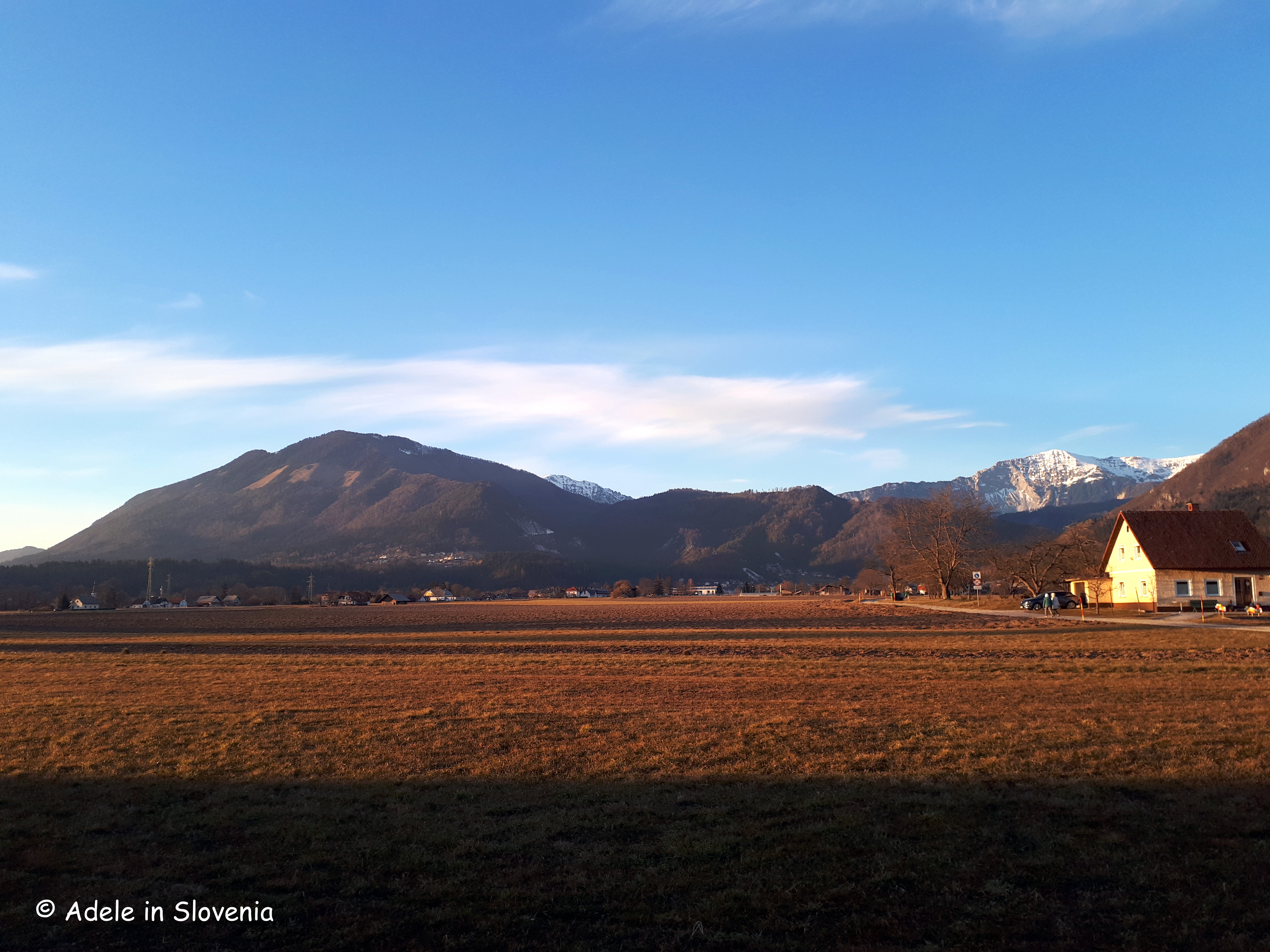
Whilst Gozd Martuljek is a true paradise – nature, peace and a wealth of outdoor opportunities, particularly the traffic-free cycle track into Italy – I don’t know anyone there and with the onset of winter, I was very pleased to return to the Radol’ca area early this November. To be able to again walk and cycle familiar routes, see familiar faces and feel at ‘home’ is priceless.

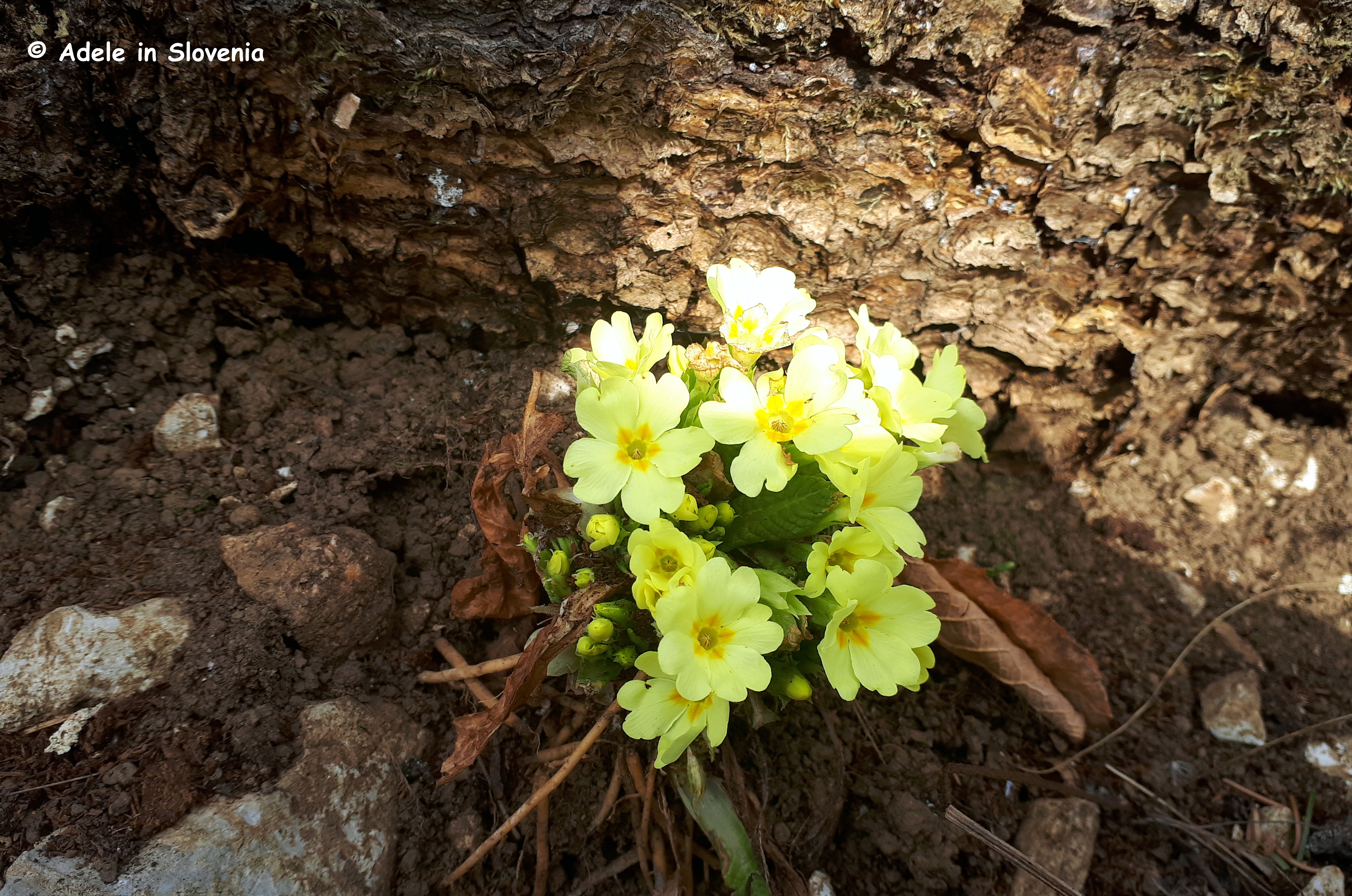
It wasn’t long before I was out exploring some of my favourite walks and hikes, a couple of which I’d like to share with you.

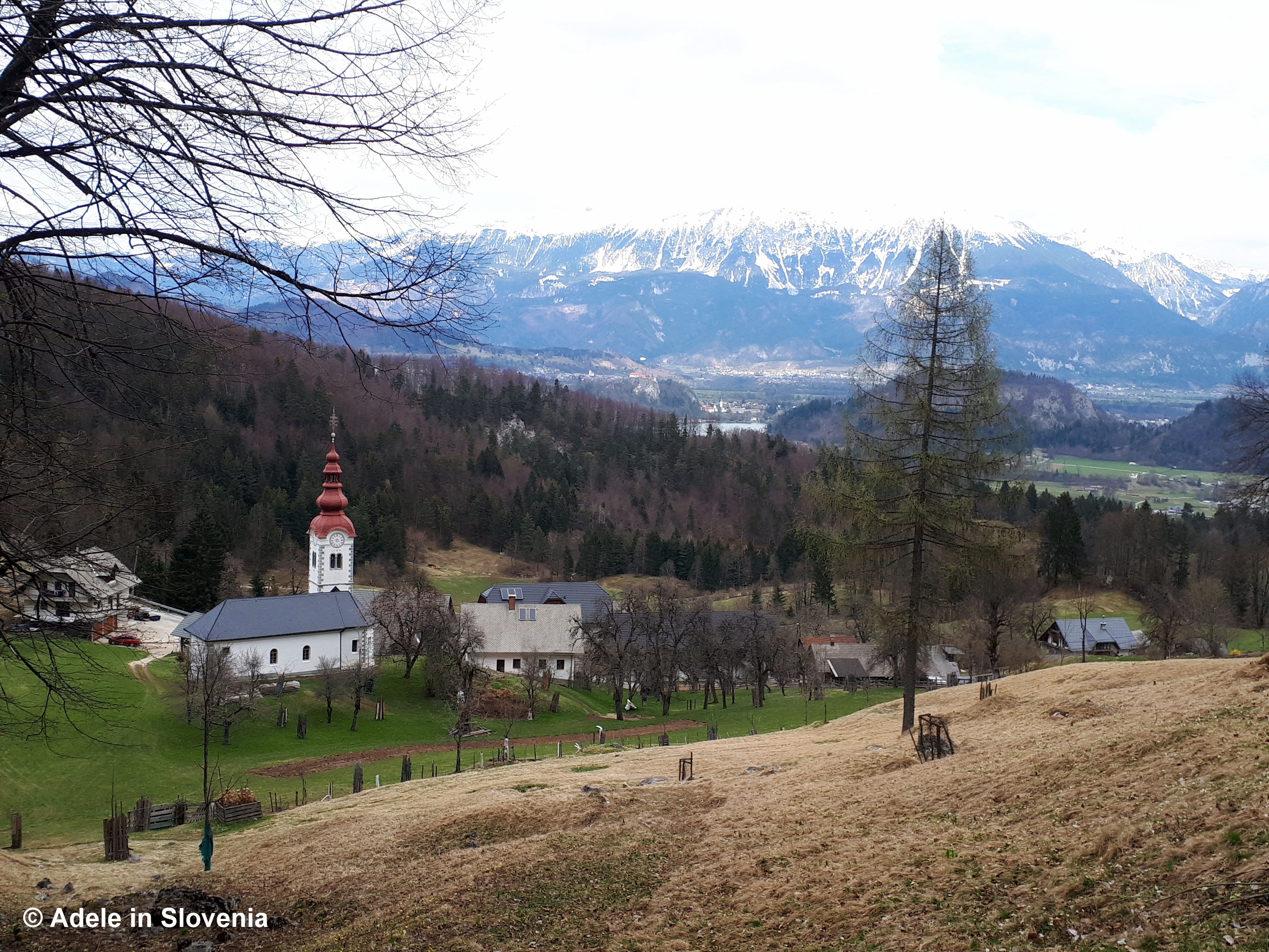
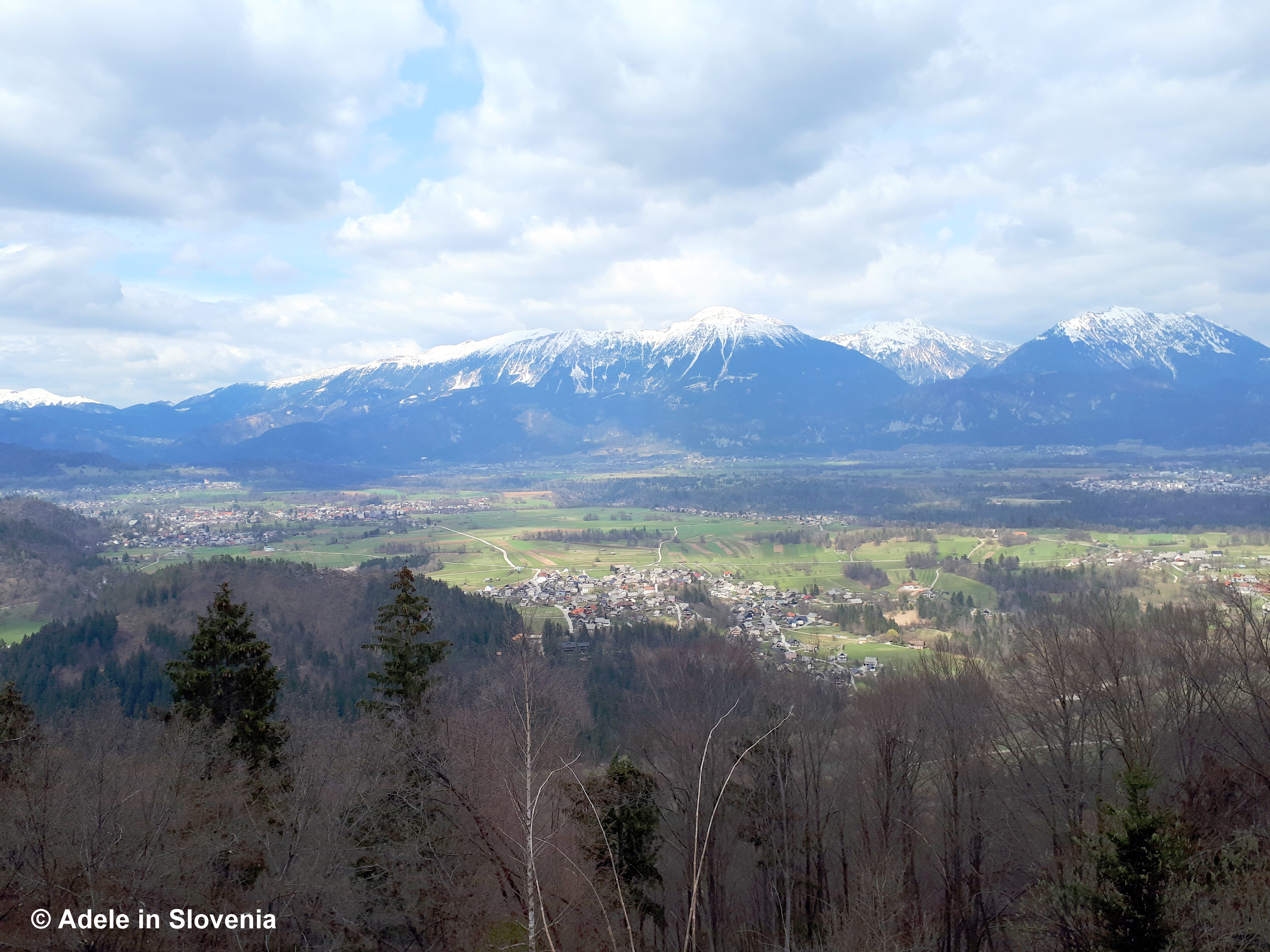
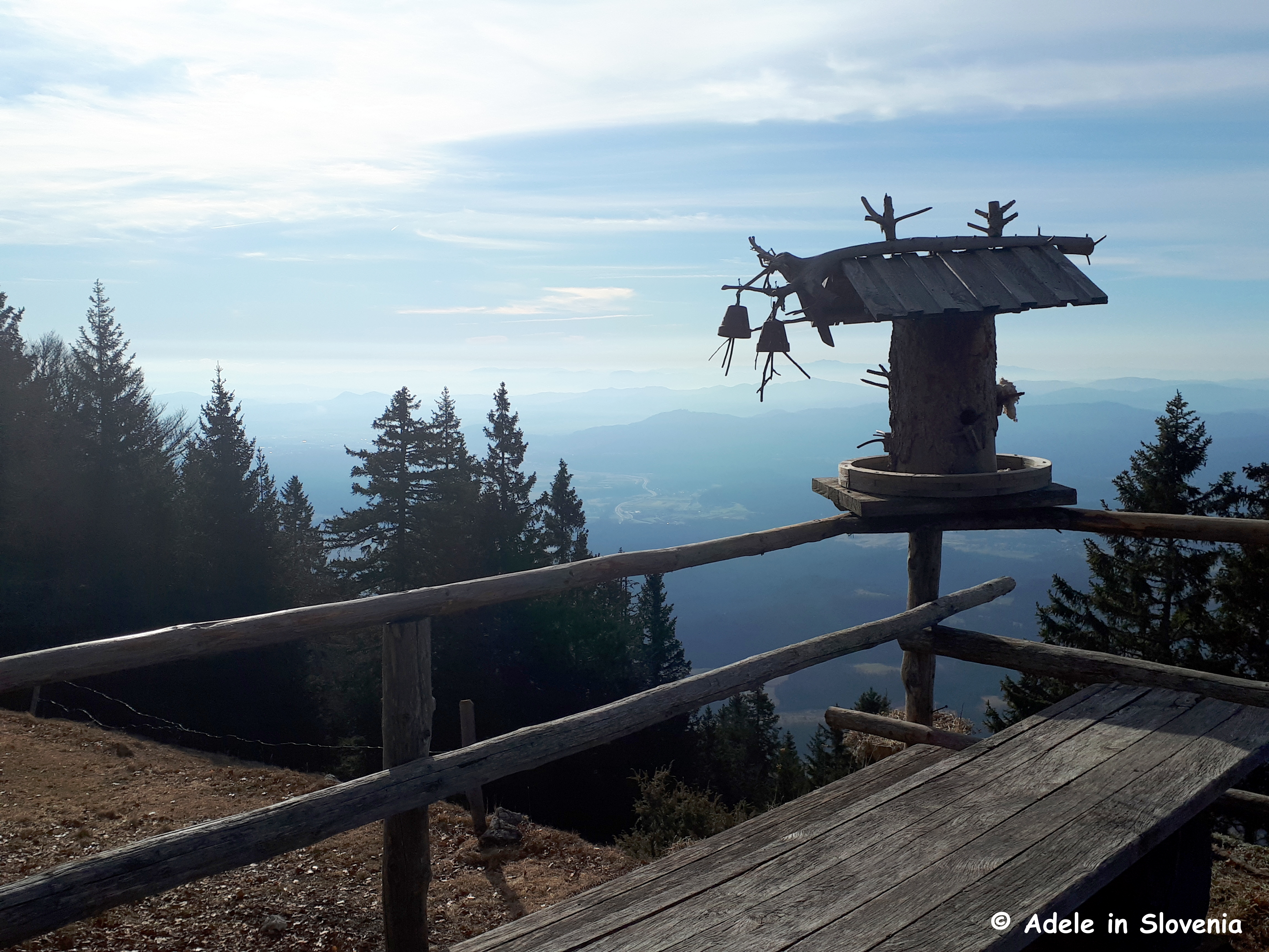
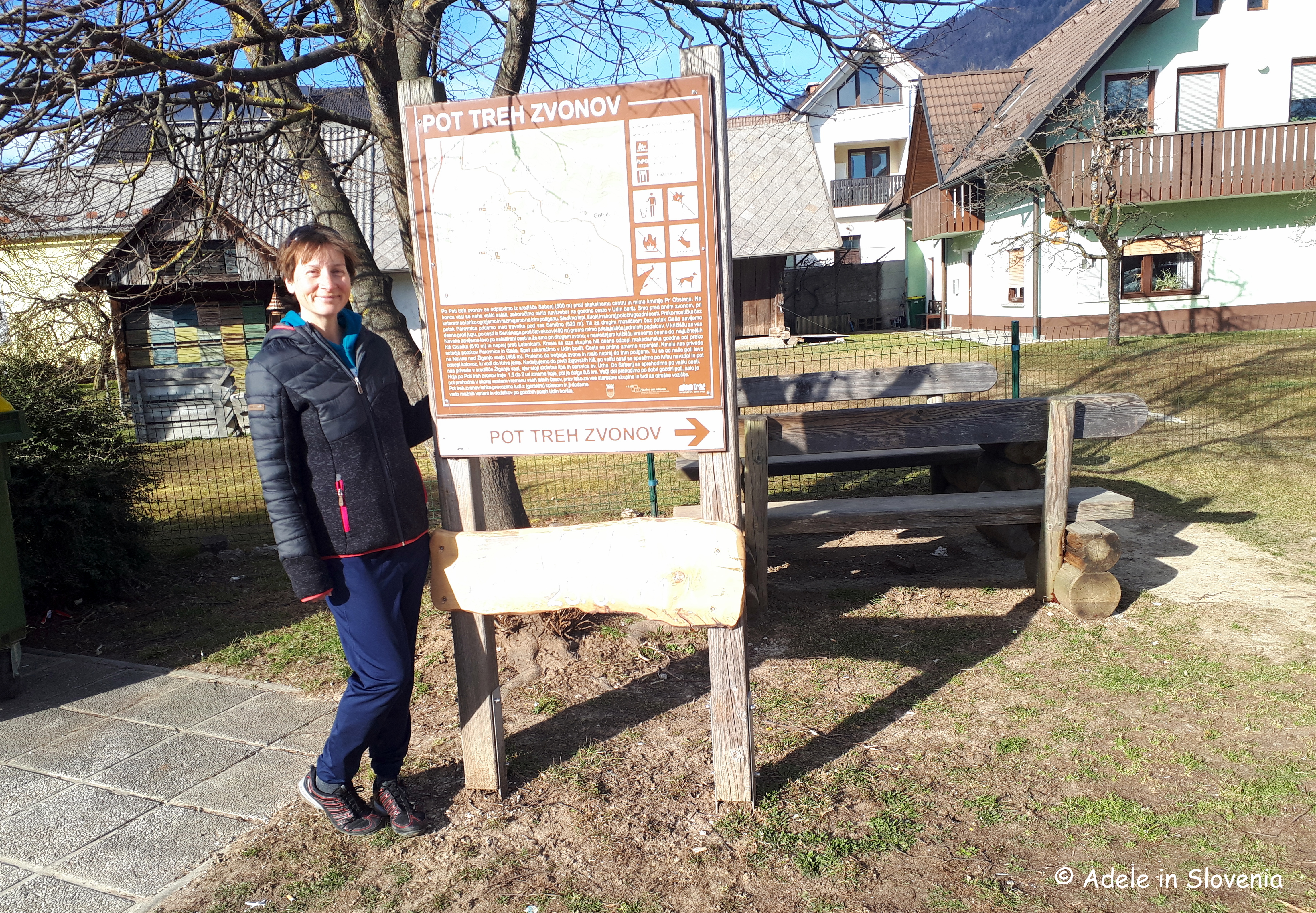
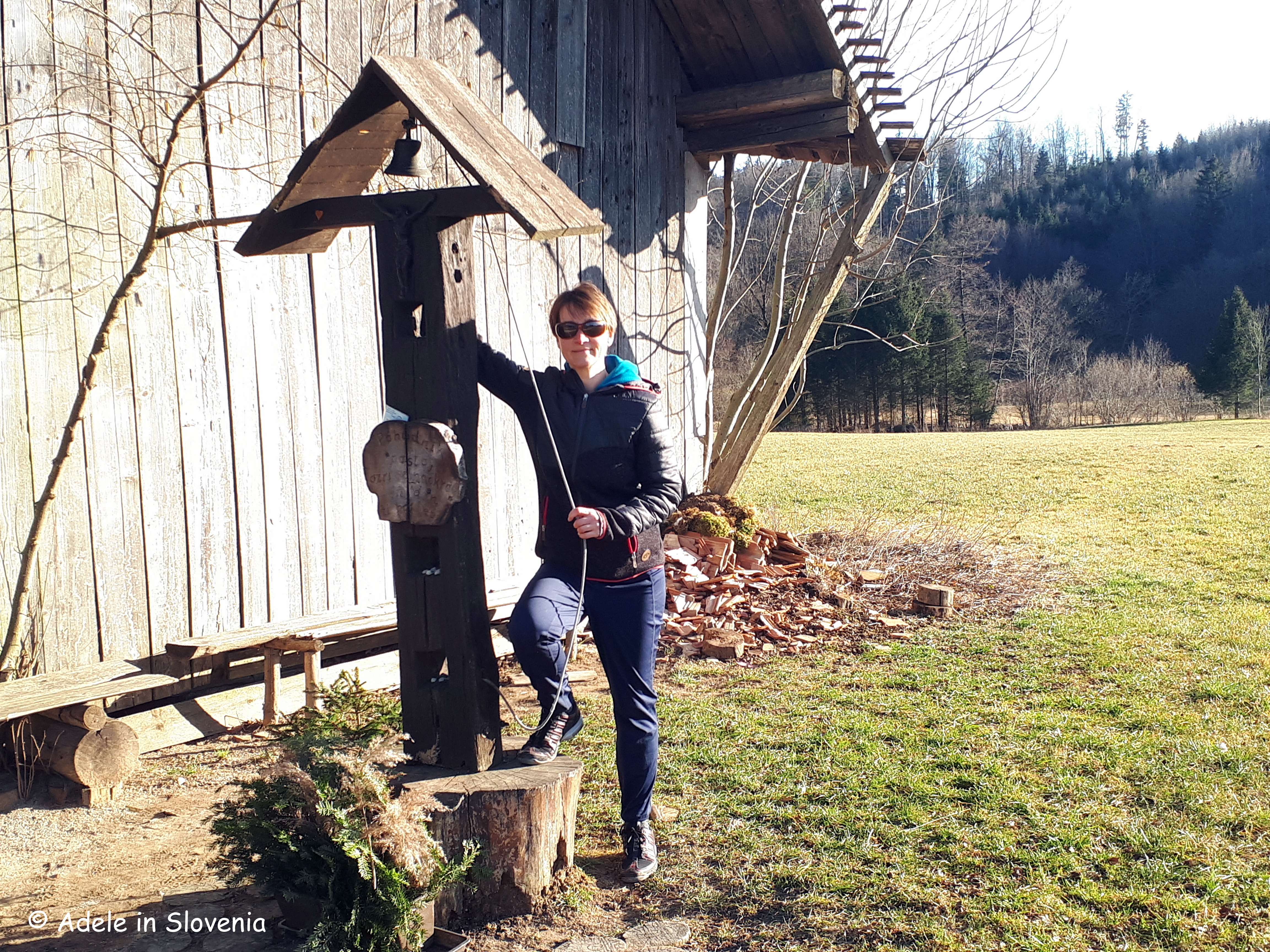
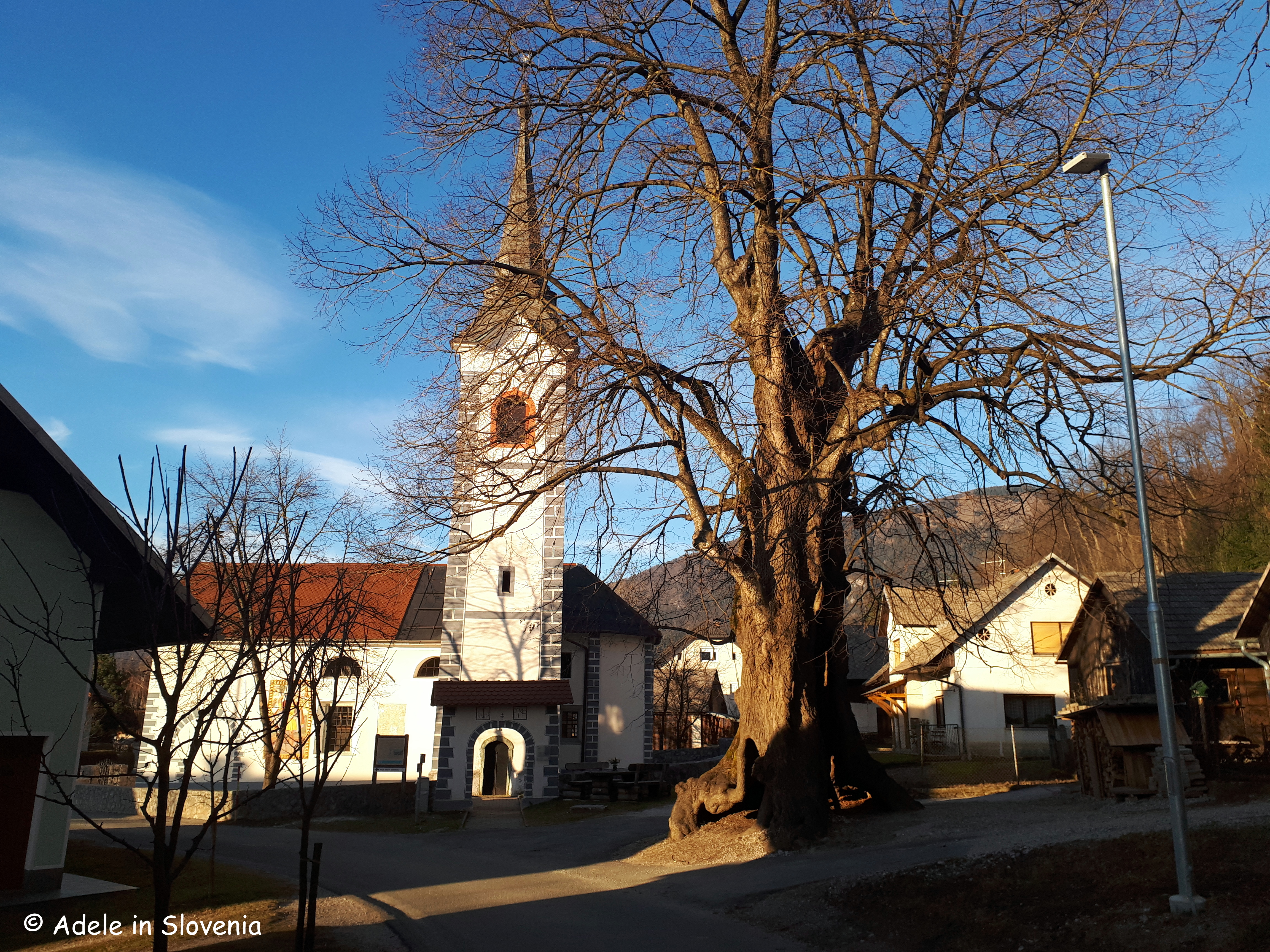
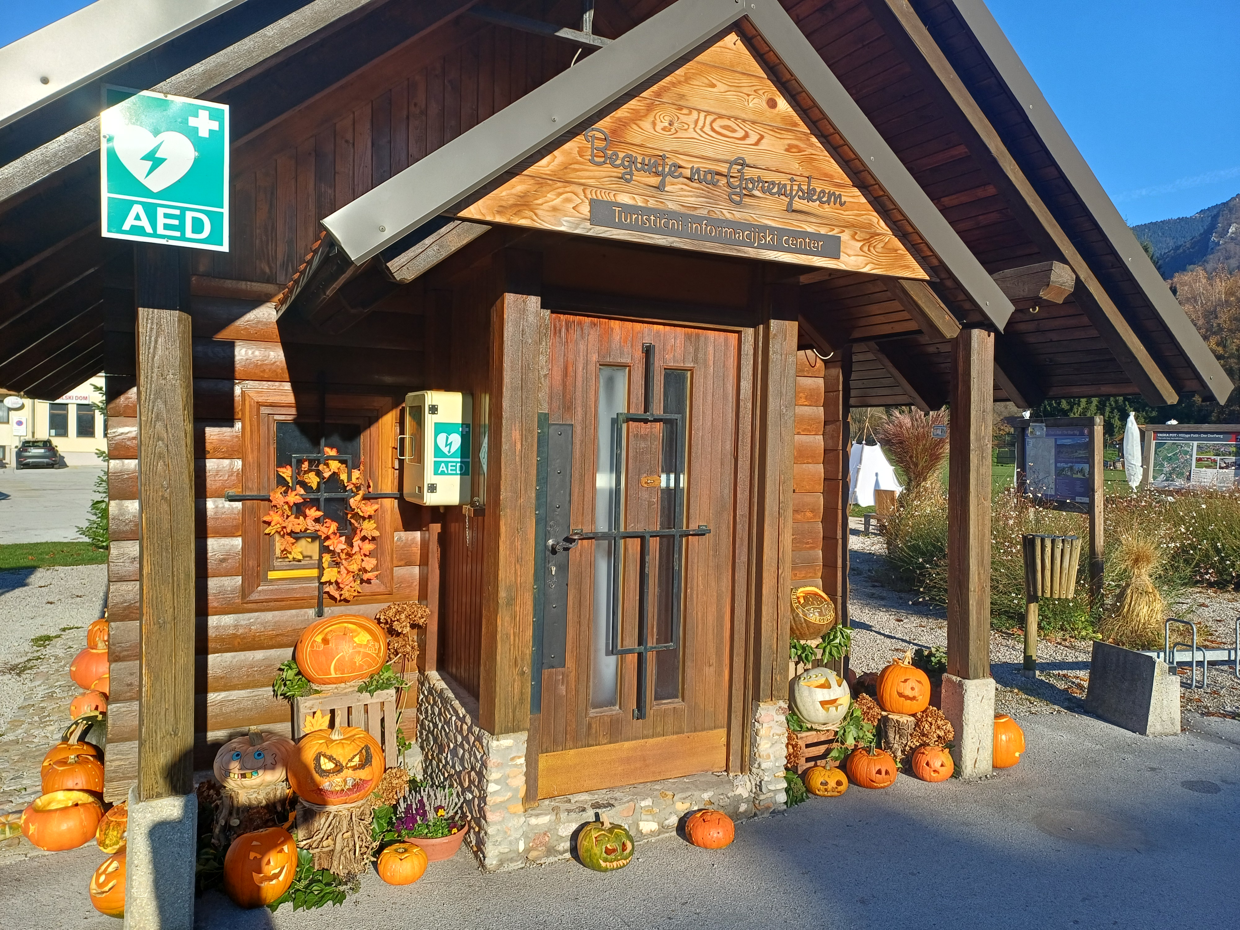
The first, and one of my regular ‘haunts’ starts near the Tourist Information Centre in Begunje na Gorenjskem, from where there are numerous trails leading up to St. Peter’s Church.

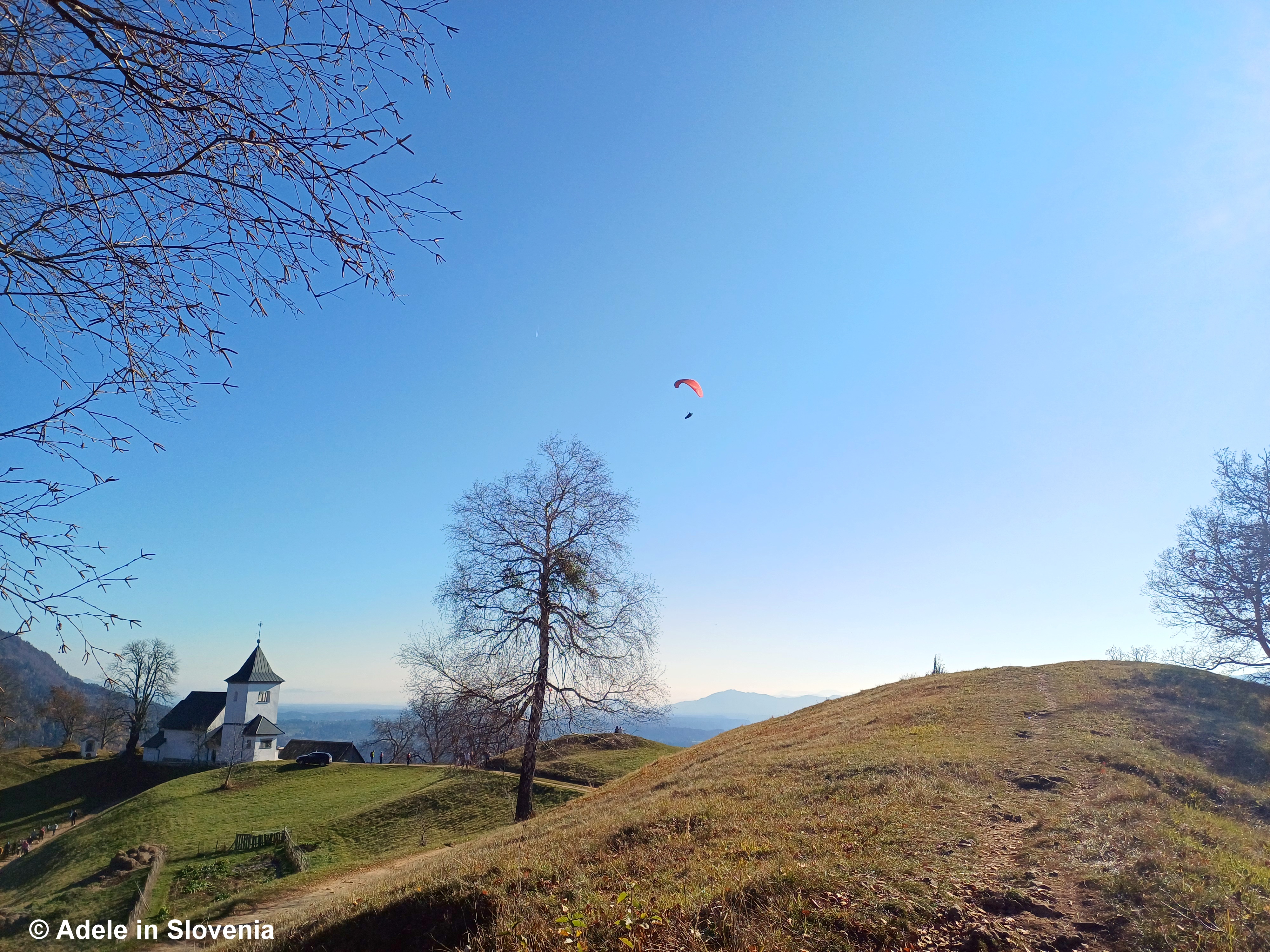
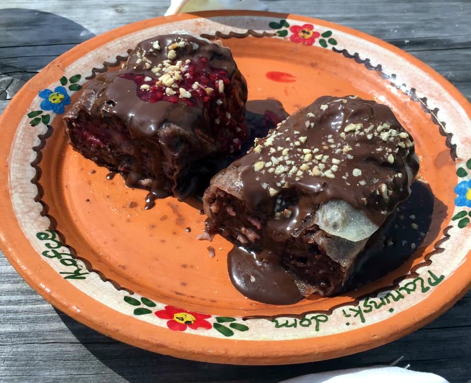
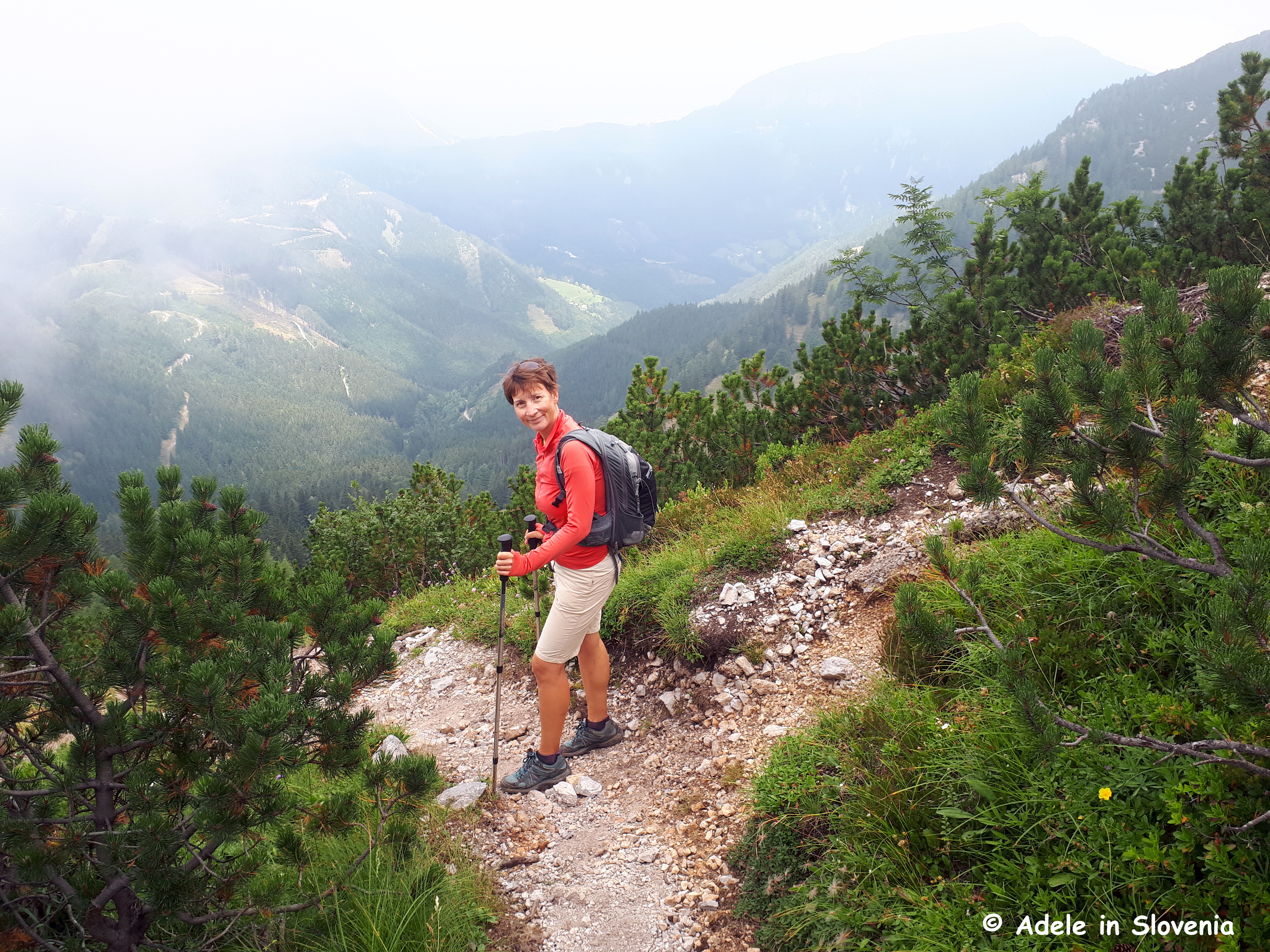
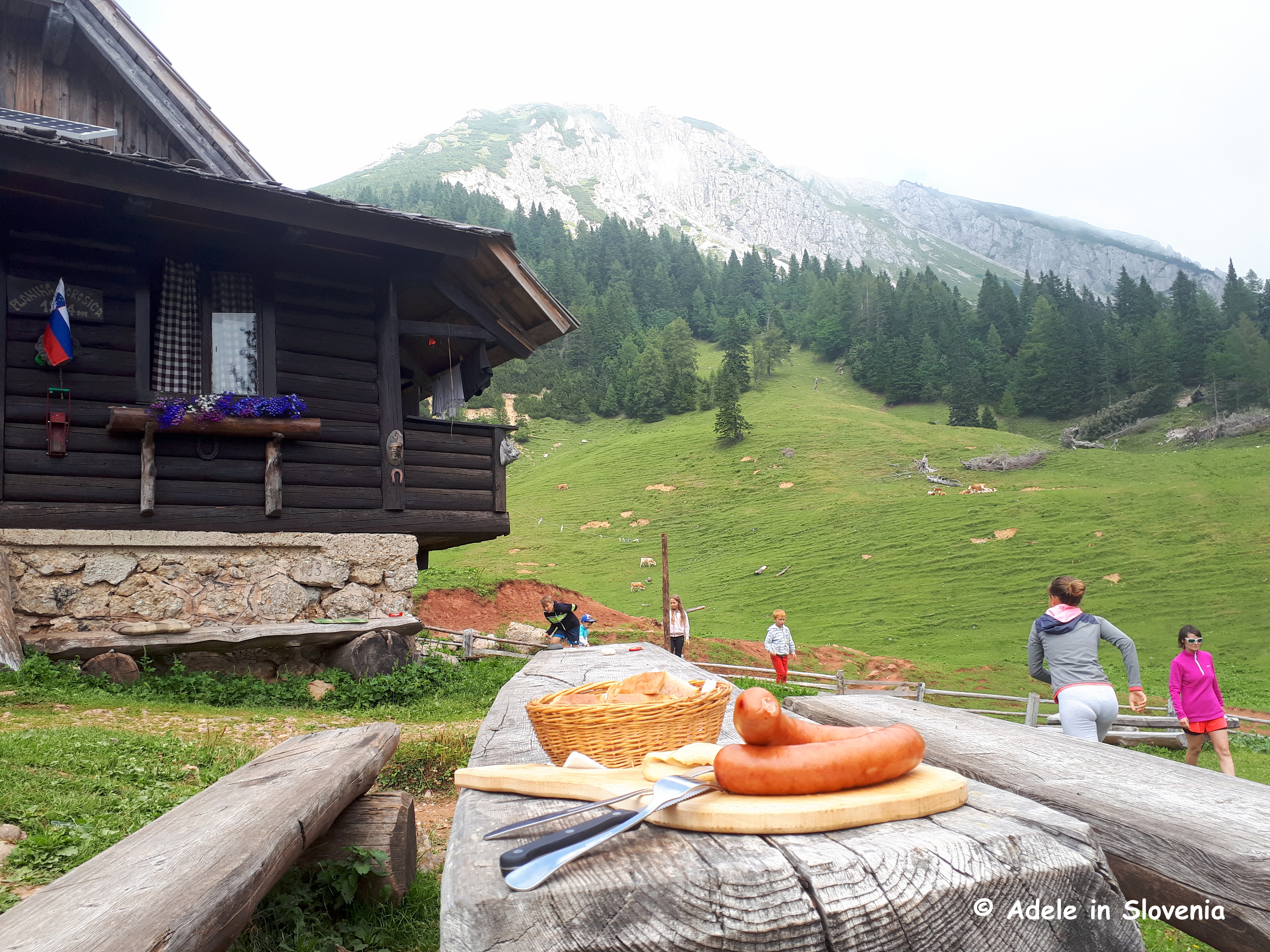
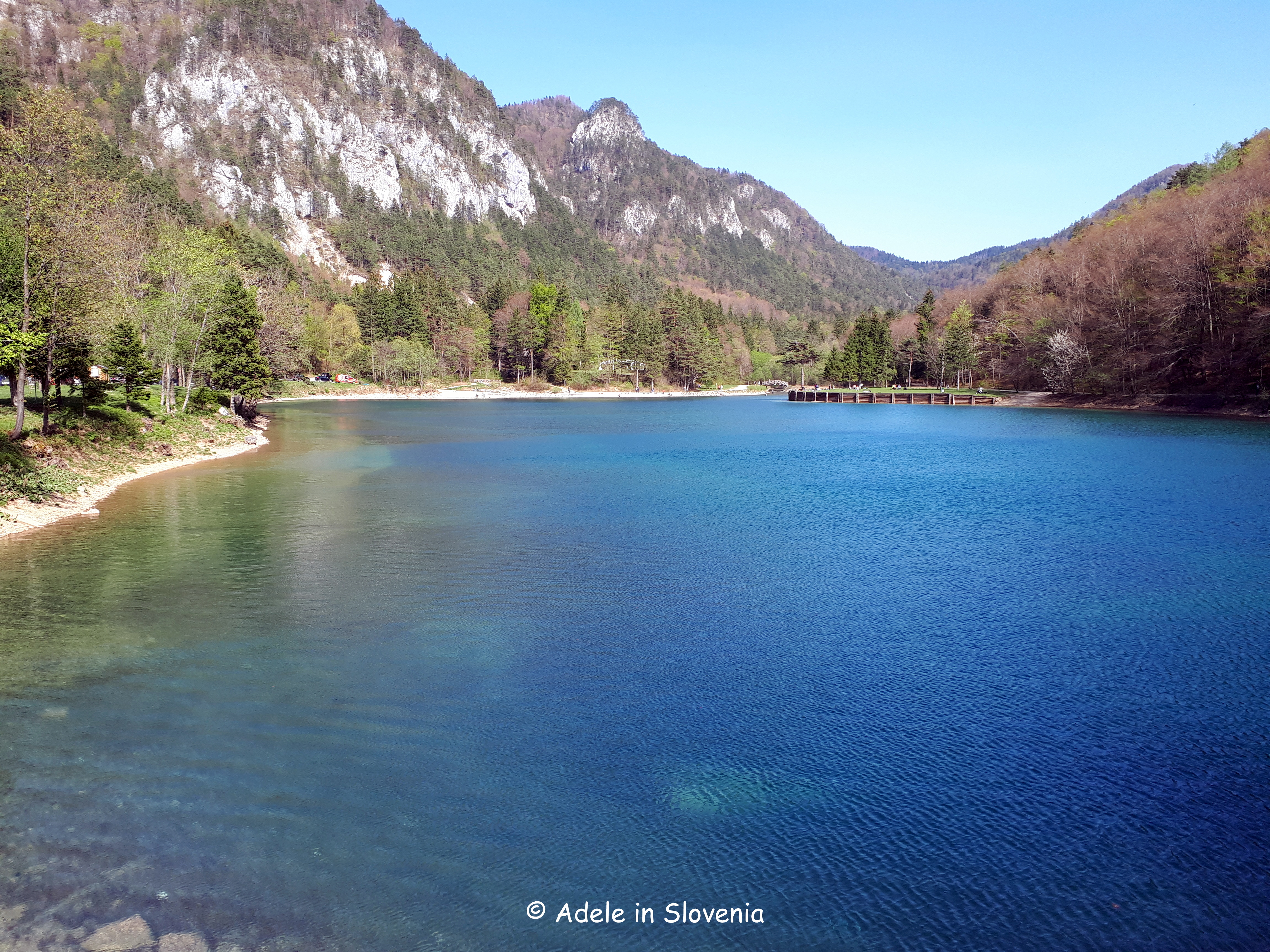
The church and the nearby Sankaška koča hut can be a destination in themself or you can continue, like I regularly do, onward to the Smokuški vrh viewpoint, from where there are wonderful views towards Lake Bled and the Julian Alps.

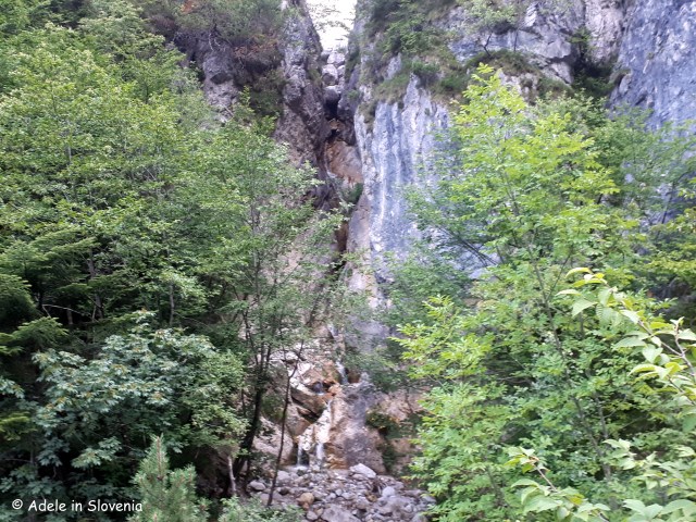
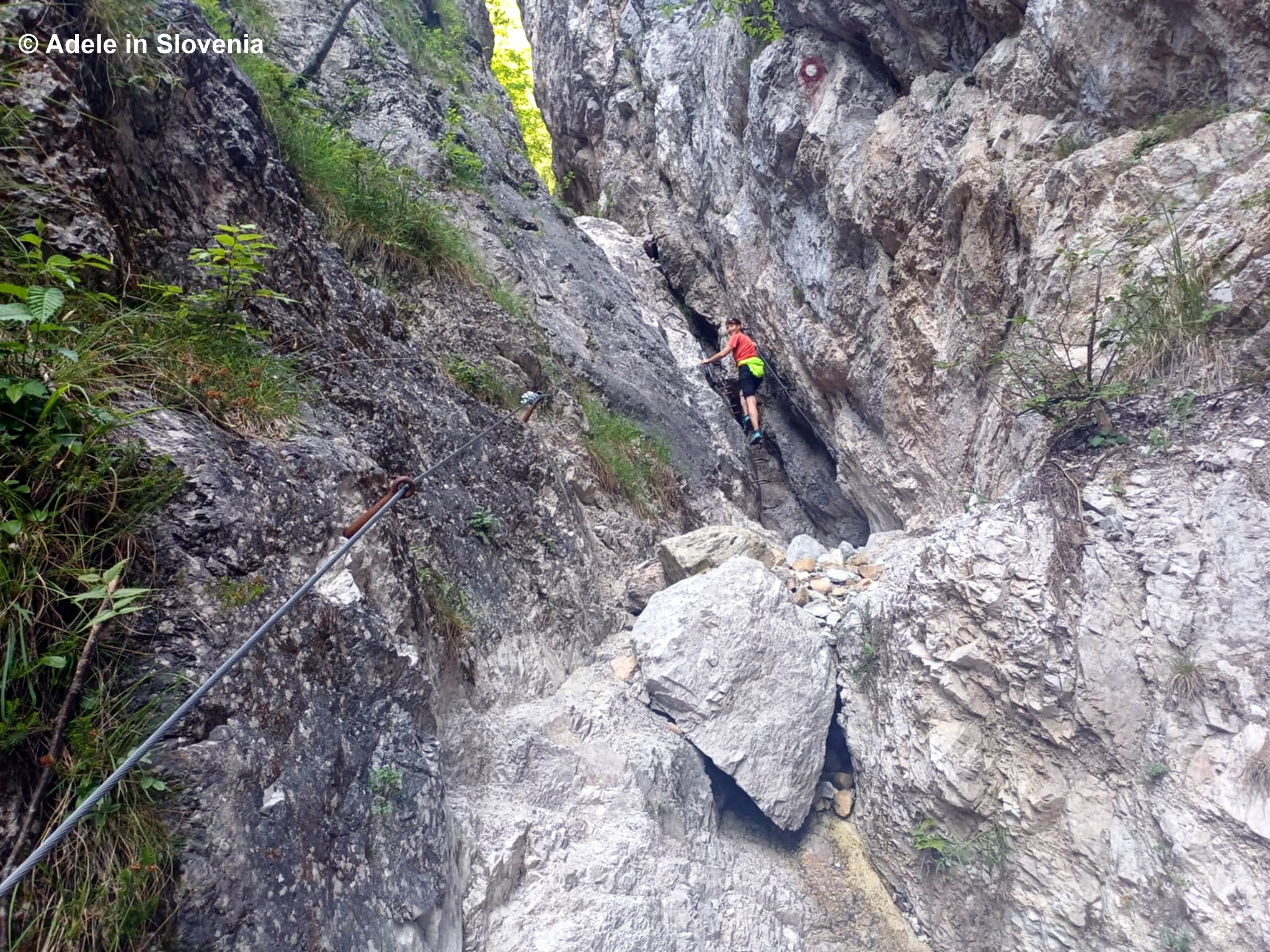
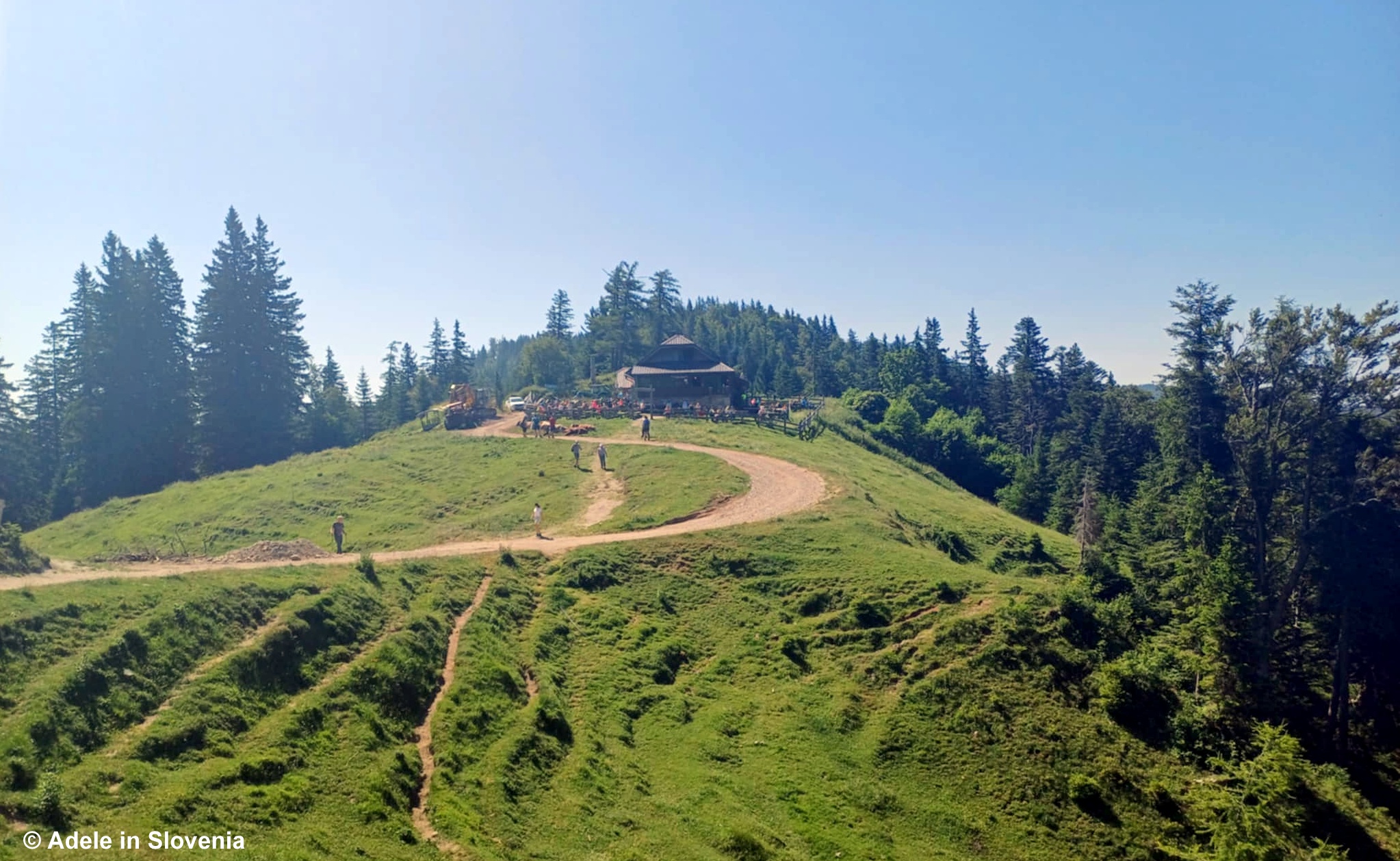
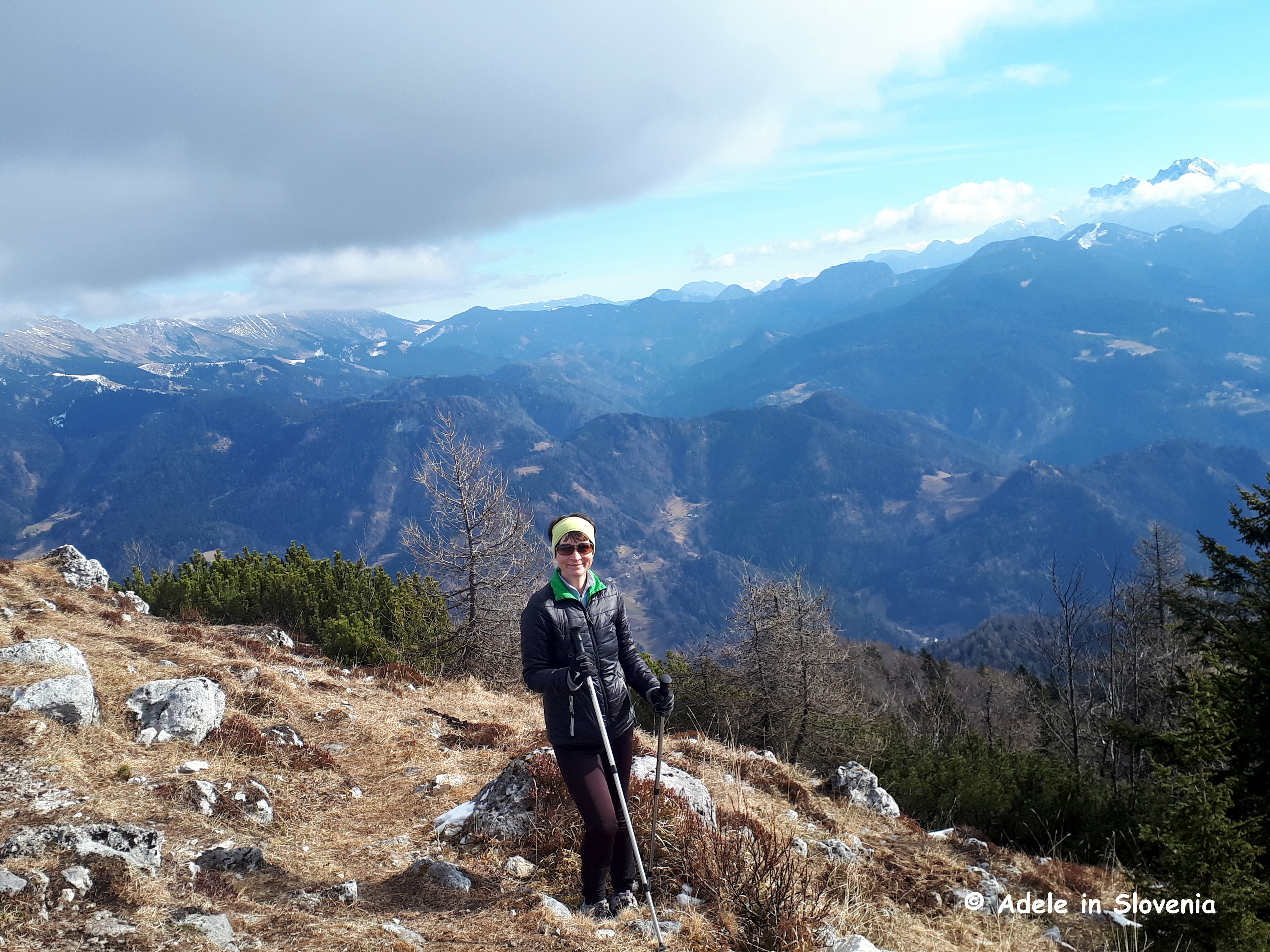
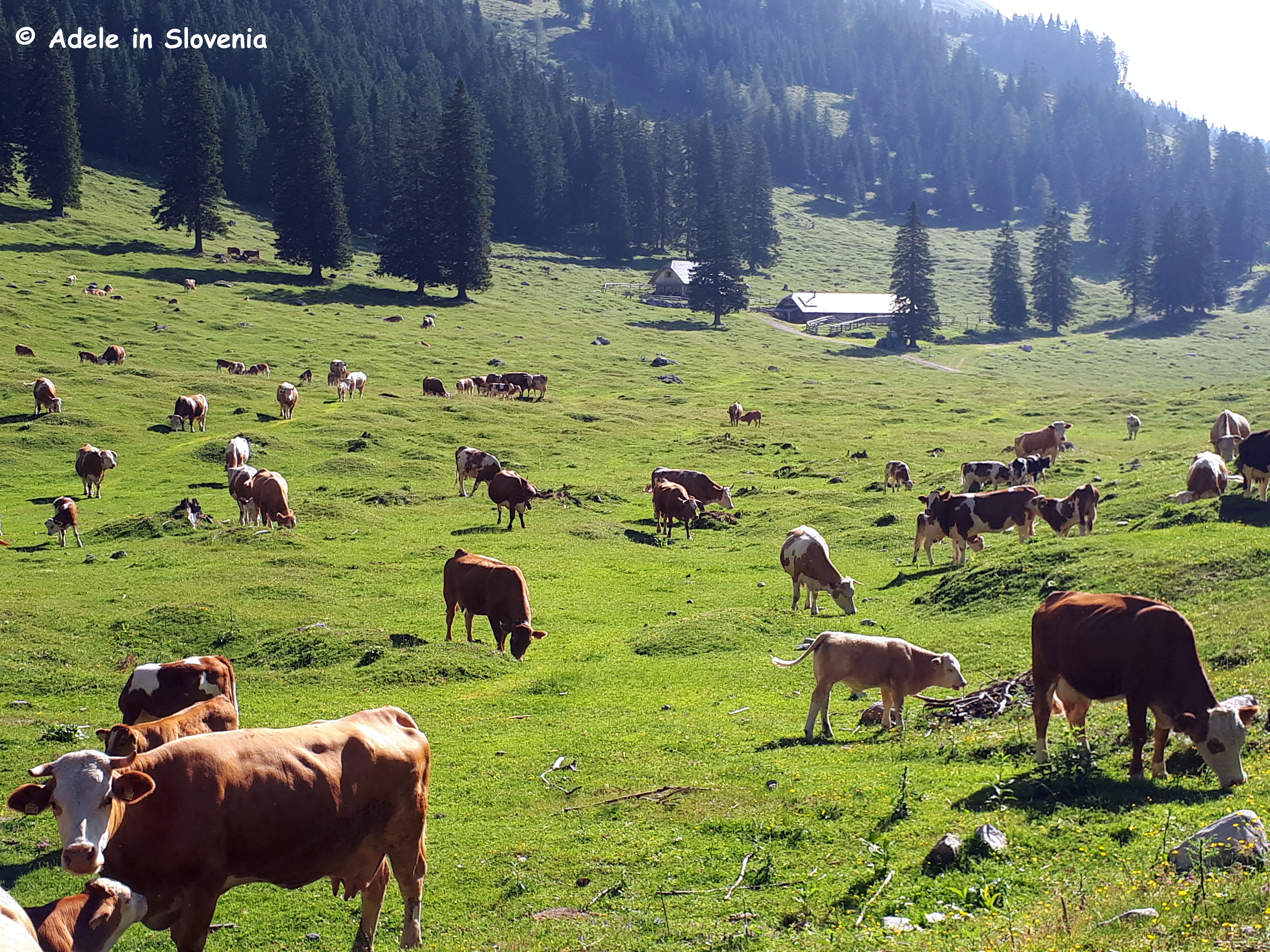
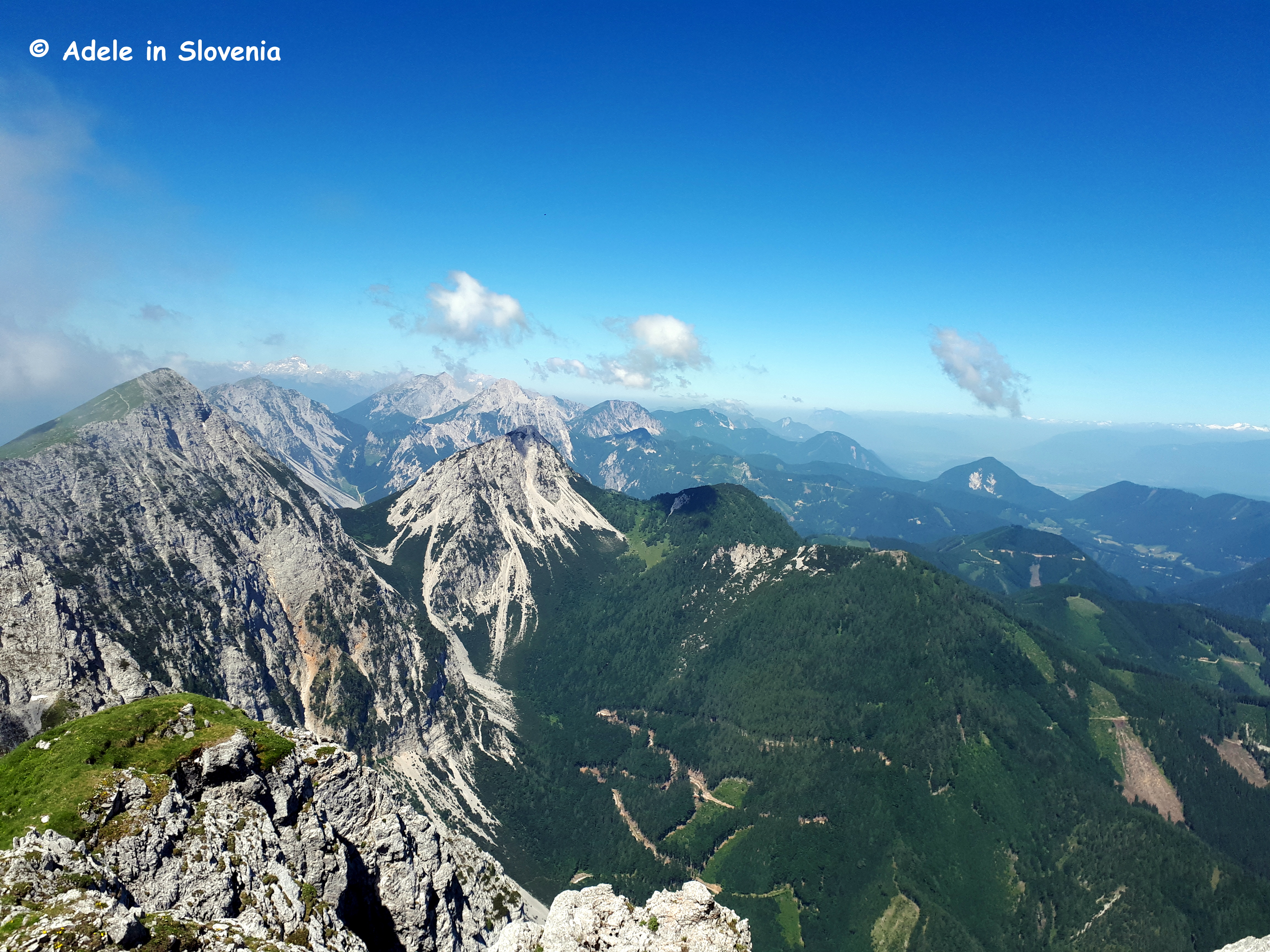
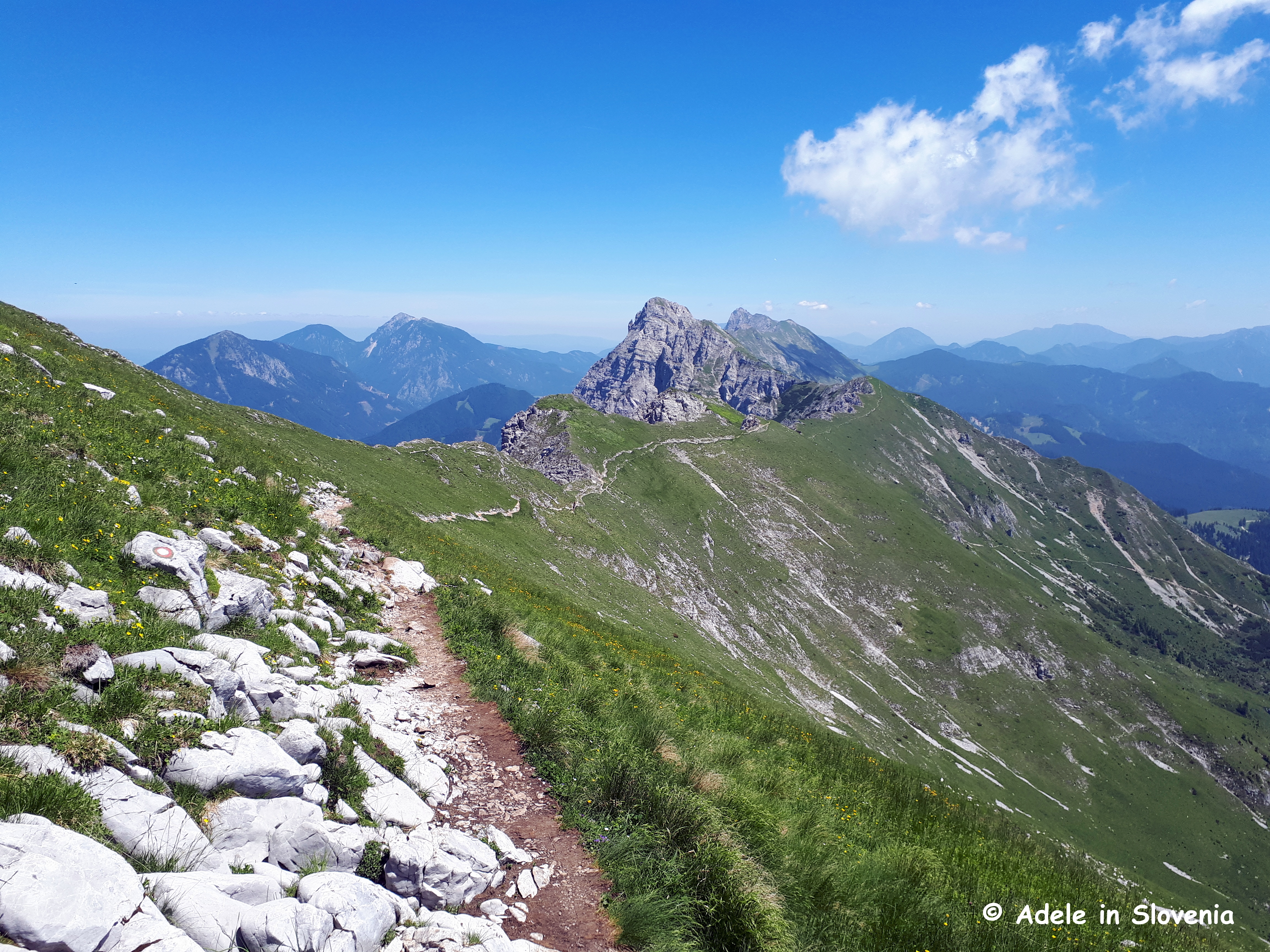
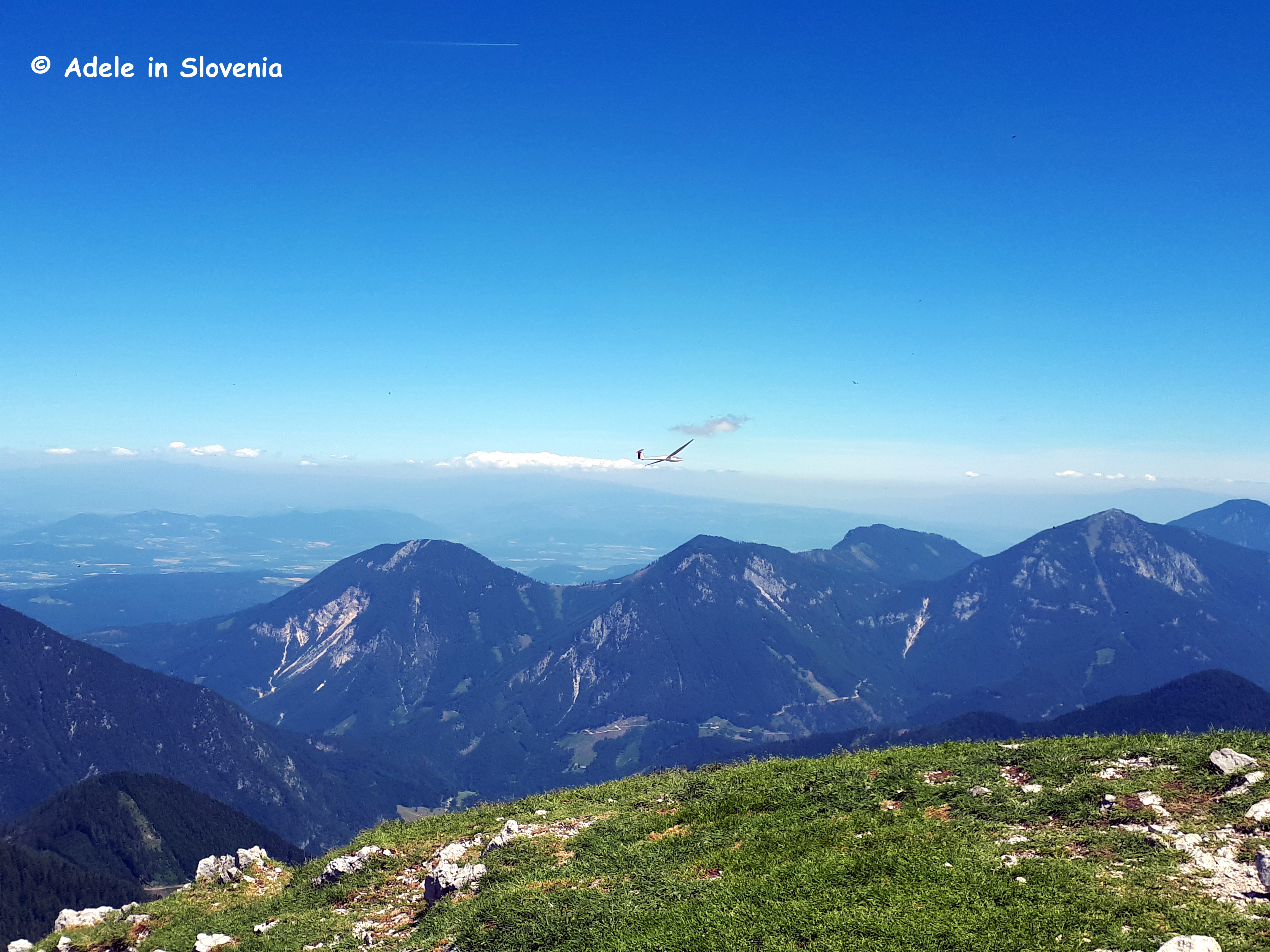
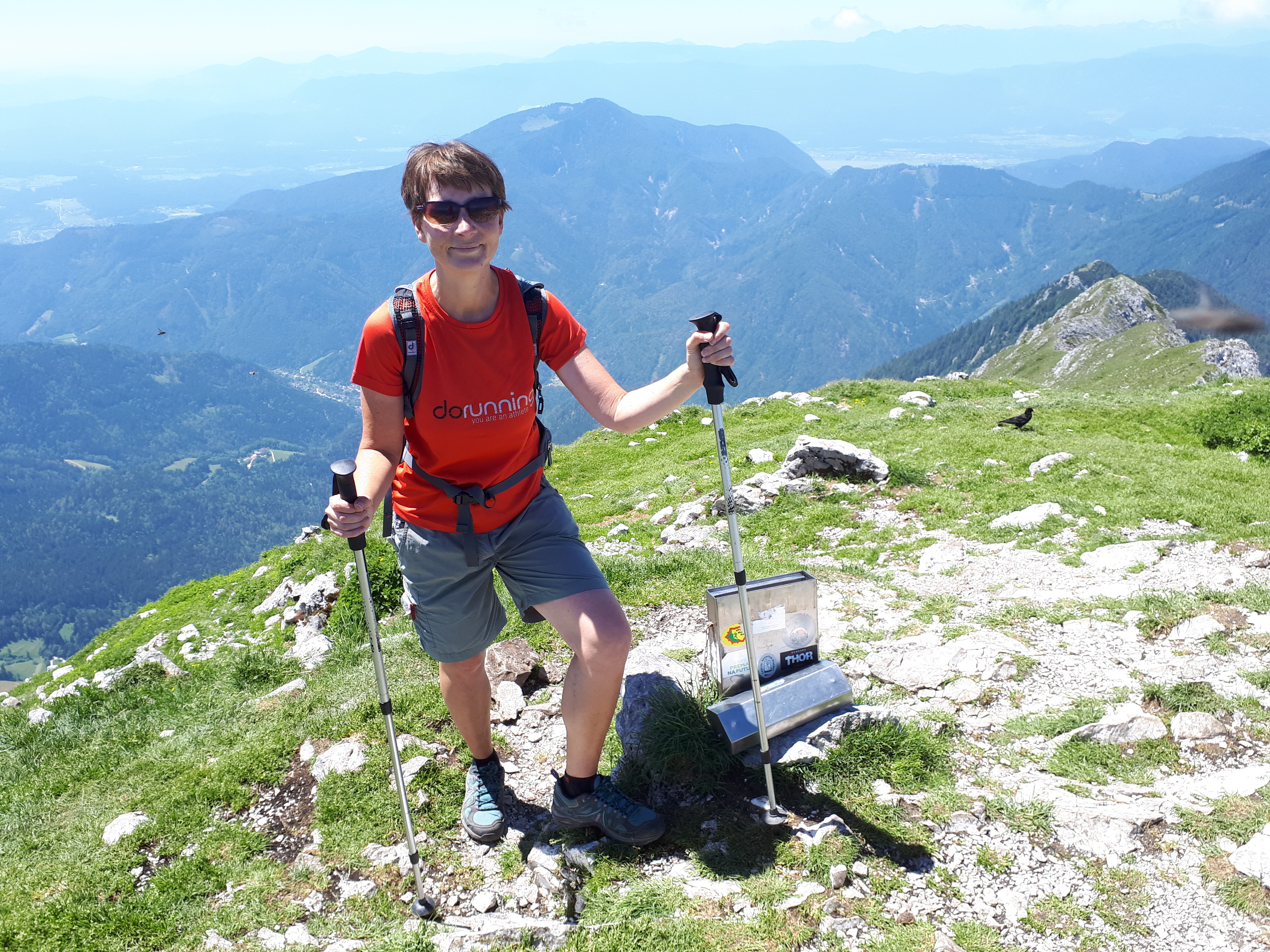
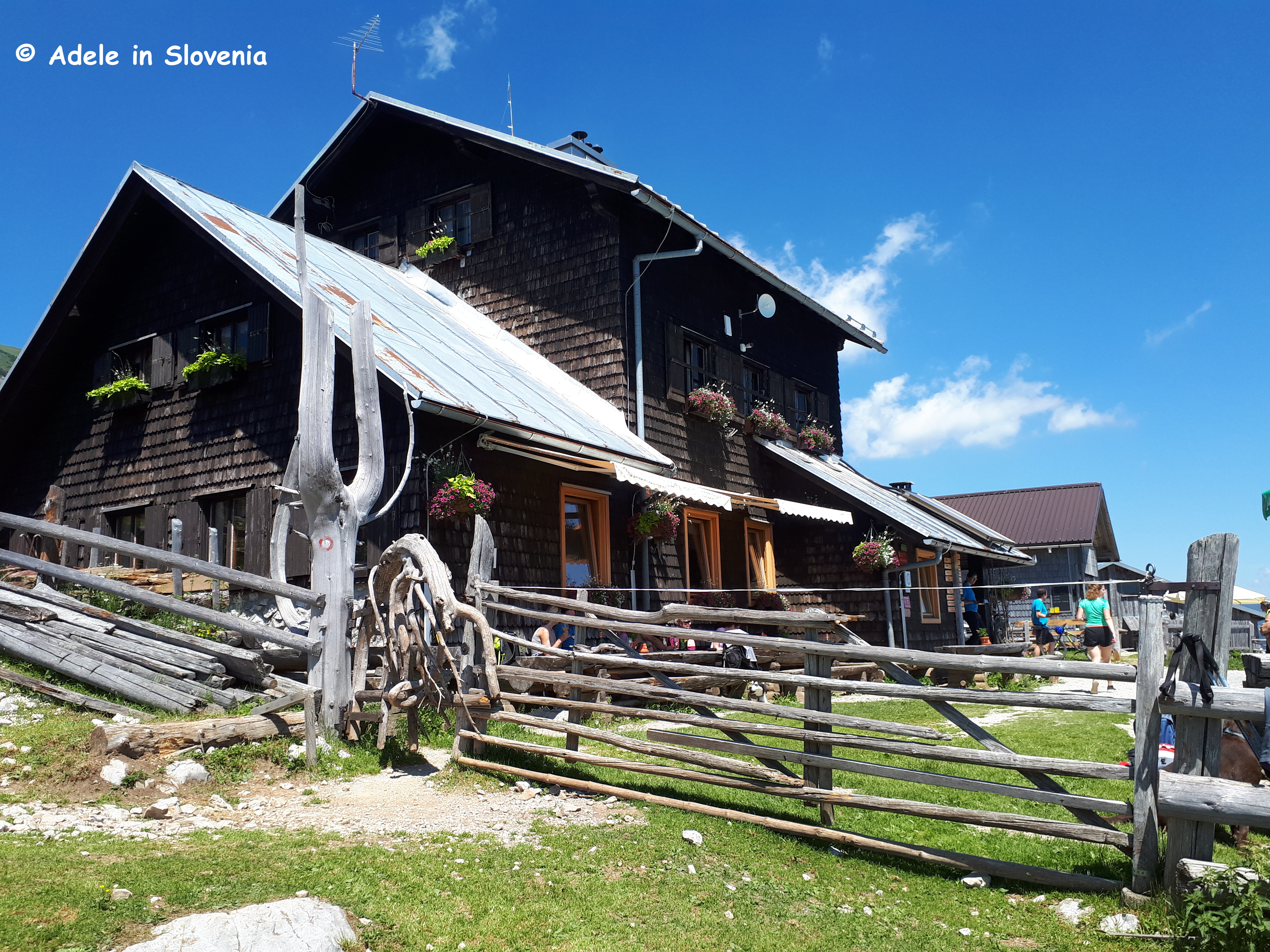
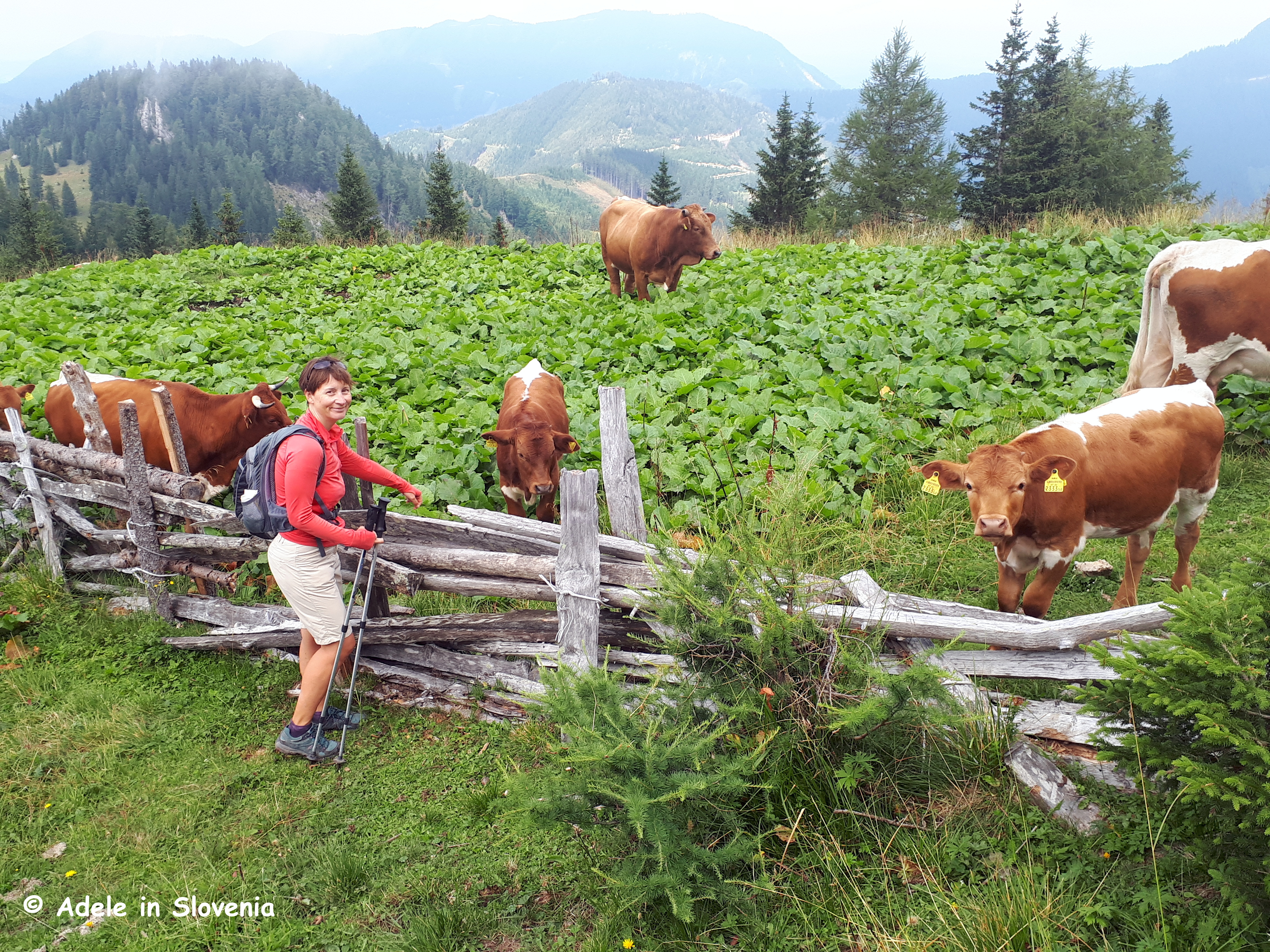
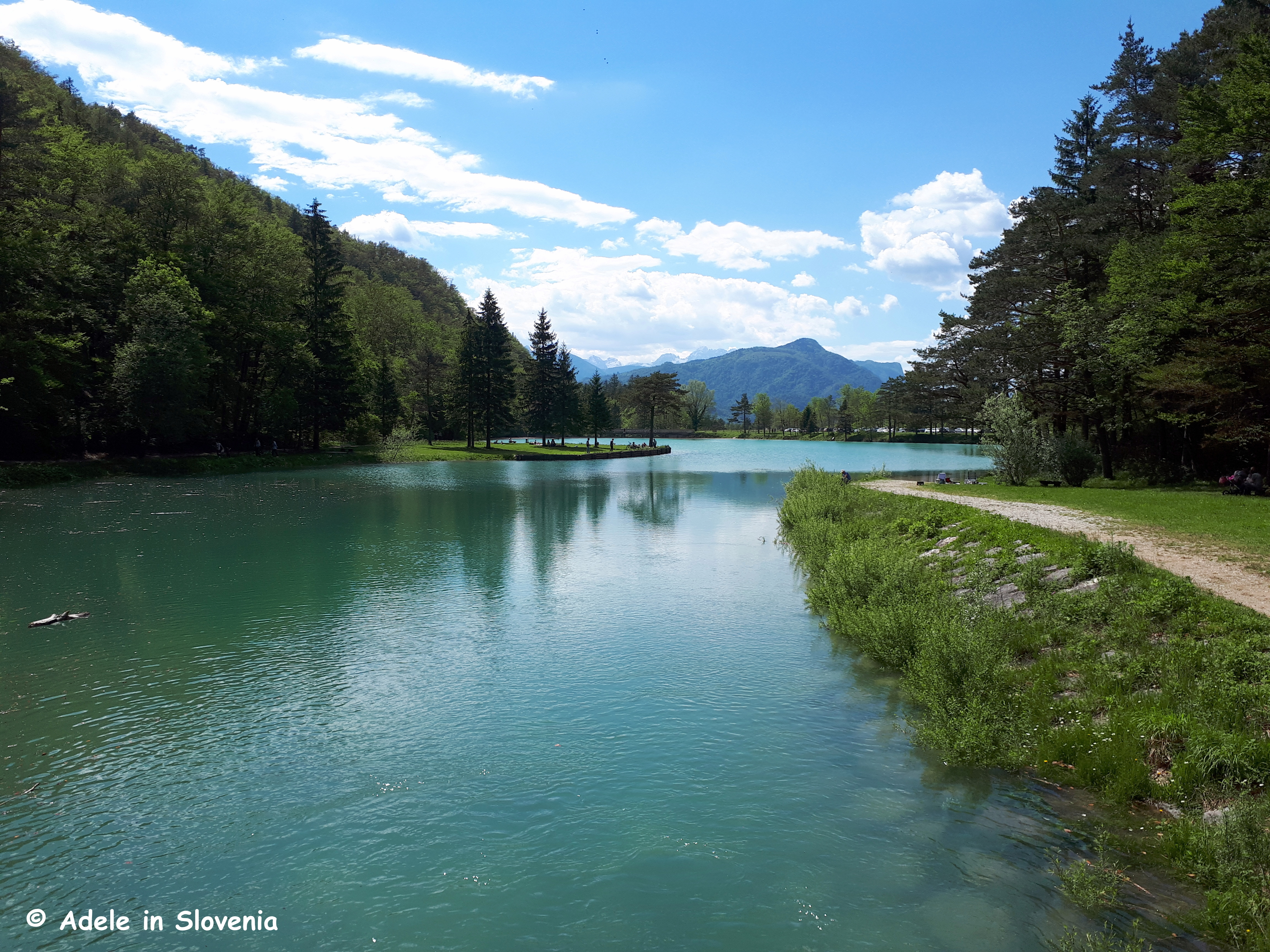
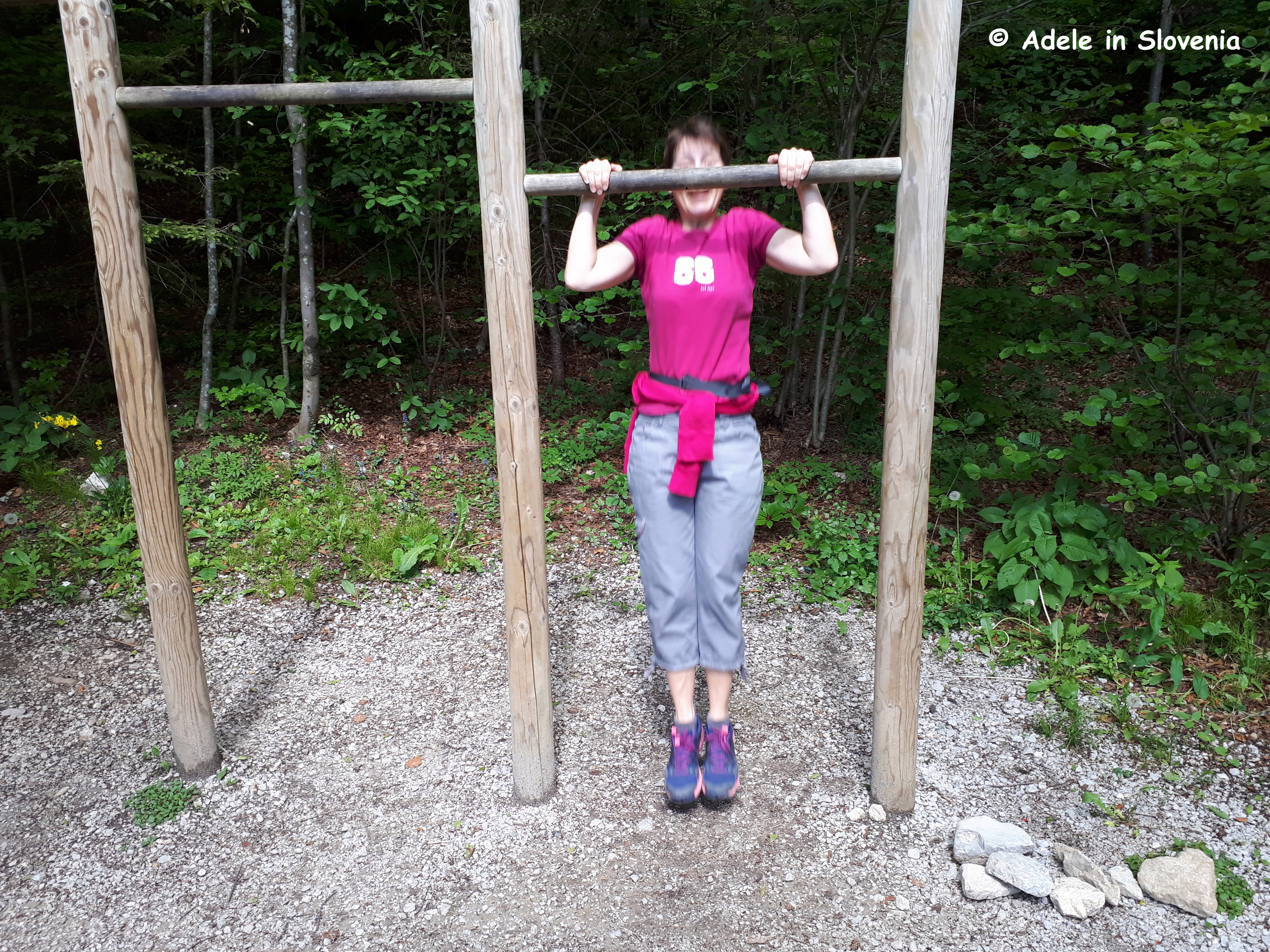
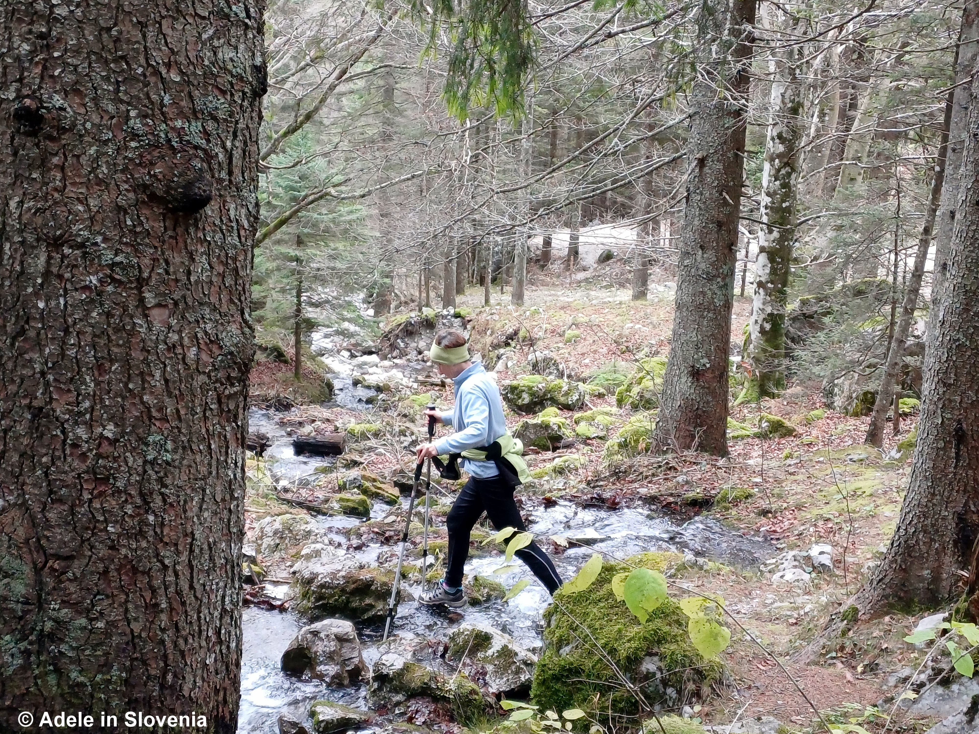
One of the most well-known mountain huts and hikes in the area is to the Roblekov dom mountain hut on Mt. Begunščica in the Karavanke mountains. Since I’ve been there many, many times, and since we have a joint passion for exploring lesser-trodden paths, we decided to approach it from the other side, i.e. from the Završnica Valley in the neighbouring municipality of Žirovnica.

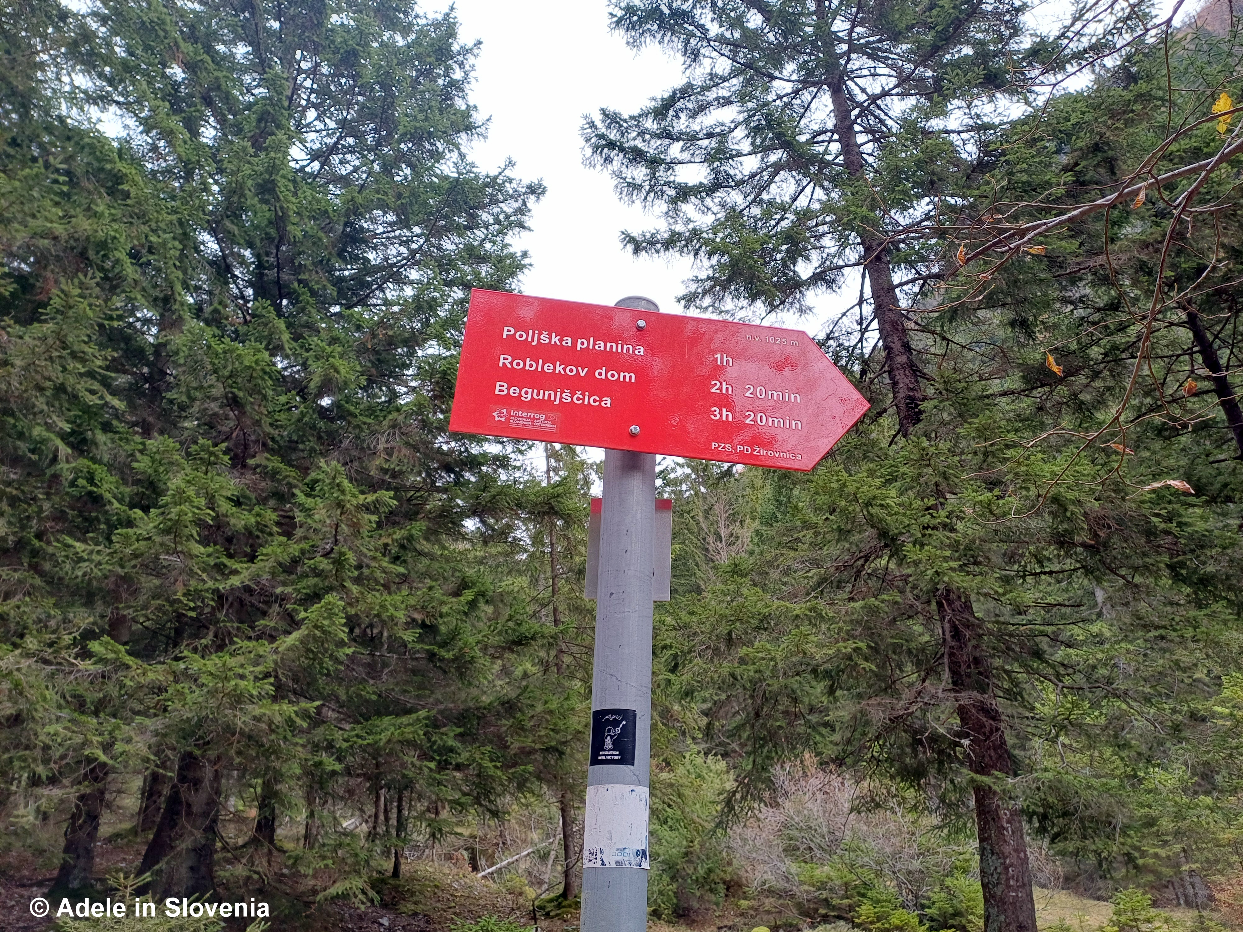
By following the red and white circular trail markers, you can do a circular hike by taking the trail from the Završnica valley up to the Roblekov dom mountain hut.

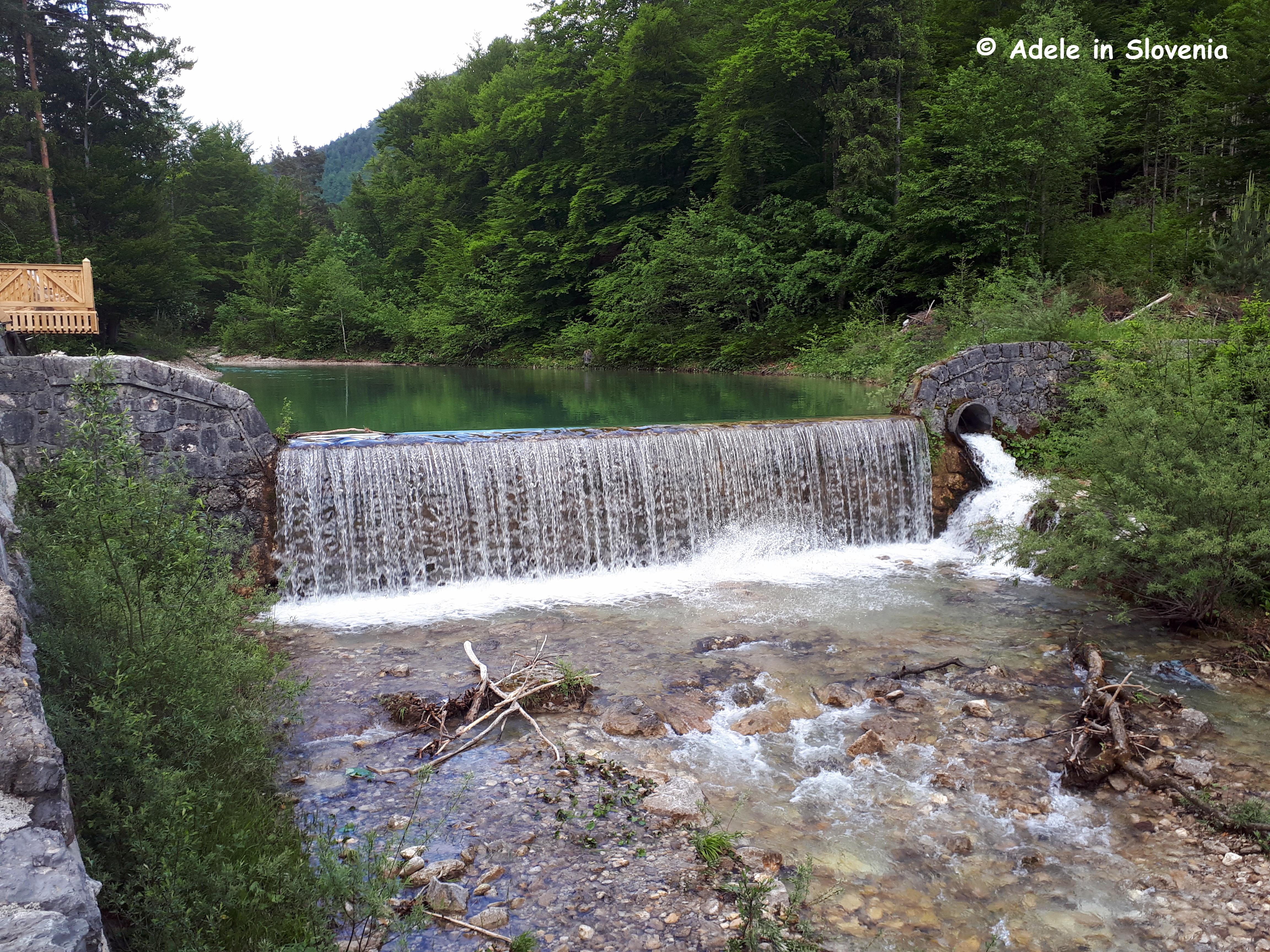
Before reaching the Poljška planina pasture, which is about halfway, the trail markers lead down towards the pasture before heading up again towards the Roblekov dom mountain hut. Alternatively, if, like us, you spot yellow markers on trees and opt to follow them, you will also reach the hut on a pleasant trail, though you do need to keep your eyes out for the markers.

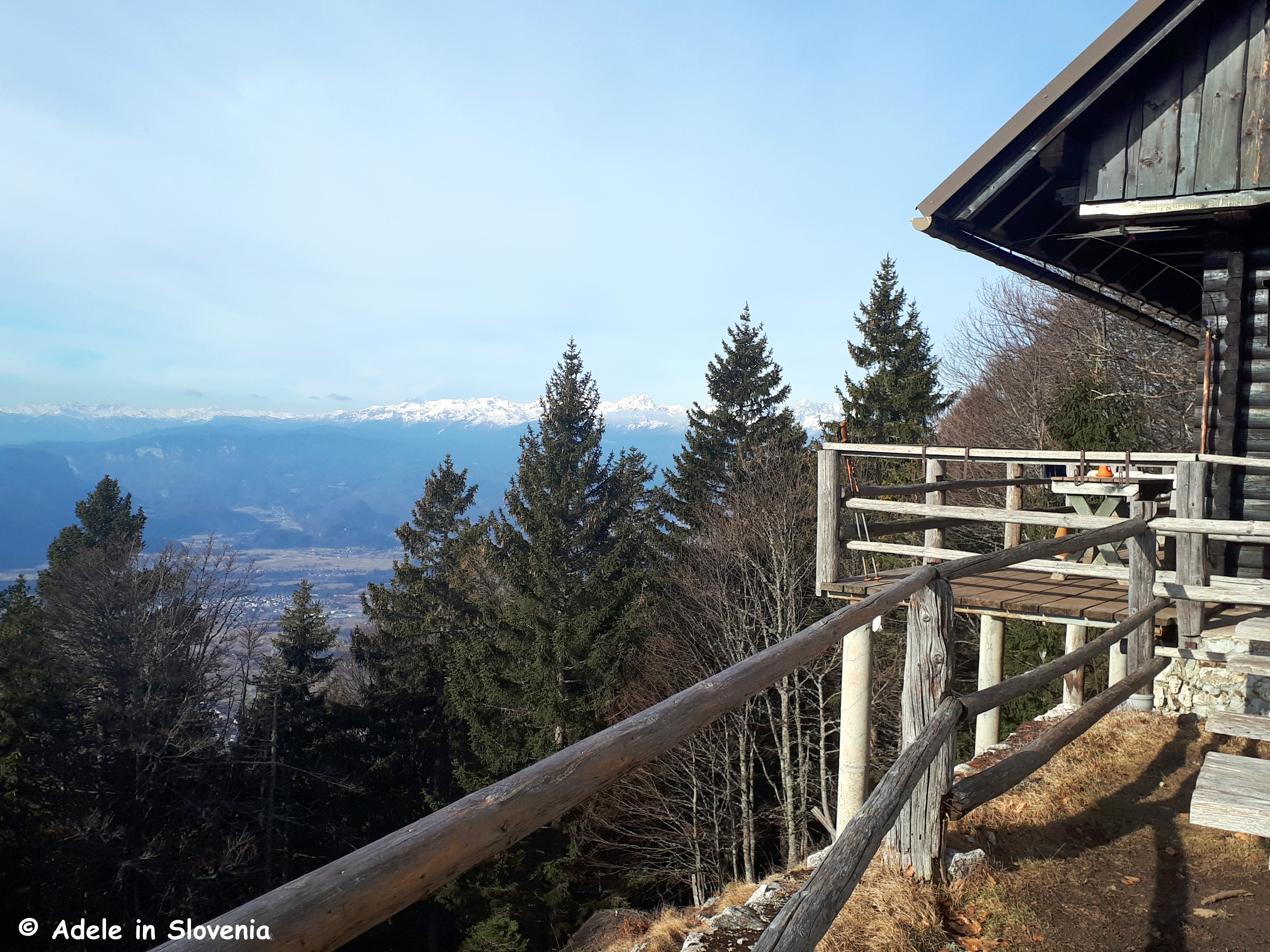
To make the route circular, from the hut, hike down to the Poljška planina mountain pasture, from where you take the marked route towards the Sankaška koča hut, branching off for Smokuški vrh and following the ridge (as described in a previous blog here https://adeleinslovenia.com/2024/08/21/a-radolca-ridge-hike/), from where you can return to the Završnica valley.

Before setting off on these, or any other hiking trails in the area, be sure to take a look at the map of hiking trails and/or pop into the Radovljica Tourist Information Centre for more information, and be sure you are properly equipped, which means having good footwear too!

With winter fast approaching, too fast for my liking, if you are planning a visit to Slovenia, you might like to read my previous blog titled 5 Great Winter Hikes in Radovljica and the Surroundings.

The countdown to the festive season is on, and the Christmas tree in Linhart Square – the heart of Radovljica’s old town – is taking shape. The switching on of the festive lights will take place on 30th November, which is always a magical event for all the family.

©Adele in Slovenia


The Renovated Shepherds’ Trail

The Begunje Shepherds’ Trail (Pastirska pot) is one of my favourite of all the hiking trails in the Radol’ca area. The variety of the terrain, the stunning views, and the fact that it is entirely circular all add up to one great hike!

Unfortunately, during the major floods that affected large parts of Slovenia in August 2023, the trail sustained significant damage and was closed for around a year. It reopened in 2024, though the lower part of the trail in particular was almost unrecognisable. Since then, significant work has taken place and I’m pleased to be able to say that the trail is now better than ever.

The trail begins at the head of the Draga Valley in Begunje na Gorenjskem, where you can park and set off on foot on the 10.2km trail. You will soon see a red sign to Preval, where you cross the stream and from then on follow the usual red and white circular trail markers. You soon reach one of the new bridges.

The trail then begins to lead up through the forest, passing a cascade of the stream.

Now comes the hardest part of the trail, though following the floods it is actually better equipped than previously, with steel rope and rungs, so isn’t that difficult providing you have good footwear and are reasonably agile.

I wouldn’t recommend doing this hike after heavy rain, as the next part involves crossing the stream in several places, which is perfectly doable when water levels are low.

After cross the streaming one last time, you reach a rest area with a bench.

Next you reach a giant fir tree, so giant, in fact, there was no way or being able to photograph it from within the confines of the trail, so you’ll just have to visit and see it for yourself! The statistics on the signpost below give the facts and figures: circumference 347 cm, diameter 110 cm, quantity of wood 12.5 m3, height 35 metres.

After about an hour and 15 minutes of hiking, you emerge onto a mountain pasture, home to the Koča na Prevalu mountain hut, where you can quench your thirst and/or enjoy a hearty pasture-style meal. This is one of first of four mountain huts that you pass on this trail – note: the huts are open daily during summer, but out of season some are closed whilst others open at weekends only. You can find out here what’s available to eat on Radovljica’s mountain pastures.

Now follow the forest road to the left for about 10 minutes, then take the path branches off to the right and begins to climb up again on the path marked as ‘čez Roža’. You are soon rewarded with wonderful views of the Radovljica Plains, the Jelovica plateauLake Bled, and the Julian Alps with Triglav National Park.

The scenic path is level in places, with a few ups and downs and a few gullies to cross. Shortly before the end of the čez Roža trail, you reach an abandoned manganese mine shaft with an information board, which, at the time of writing (July 2025), was looking at bit worse for wear.

Just a few minutes after passing the mine shaft, the trail joins the main trail that leads from the valley up to the Roblekov dom mountain hut and on to Mt. Begunščica or you could follow the trail back down to the valley, thus completing the circular route.

I’d like to end this blog by saying a big ‘Thank you’ to all those of you who read my last blog and sent such lovely messages of congratulations.

Until next time…

© Adele in Slovenia


The Sky Isn’t the Limit at Lesce Sports Airfield!

The annual open day and model aircraft competition took place at Lesce Sports Airfield on Monday this week – Assumption Day.

We went along to watch some of the amazing model aircraft, which, apart from the size, could easily be mistaken for the real thing!

One can only imagine the hours upon hours of painstaking labour, not to mention patience and precision, that go into making such models.

In addition to the model aircraft show and competition, visitors also had the chance to see aircraft up close…

…and even a chance to sit inside!

I managed to get a shot of a model aeroplane and real aeroplane almost in unison, which perfectly illustrates the likeness of the former to the latter. Can you work out which one is which?!?!

Although the event has now been and gone for this year, you can still visit the airport at anytime to just observe the comings and goings while enjoying a drink and/or meal at the excellent on-site Na Klezn’k restaurant. A great meal with a great view!

You can also treat yourself to a panoramic plane or helicopter flight above Lake Bled, the Karavanke mountains, the Julian Alps and the wider Gorenjska area. For more information send an email to: info@alc-lesce.si

Various other events and competitions are held at the airfield throughout the year, including an annual paragliding competition.

Photo: Skydiving Source

Click here to read more about gliding above the Alps.

In addition, the airport’s location on the Radovljica Plains provides excellent conditions for gliding.

So, another place to add to your ‘must visit’ list whilst in the Radol’ca area!

© Adele in Slovenia


All Trails Lead to Talež!

I could probably almost write an entire book about the various paths that lead to Talež – a vantage point on the Jelovica plateau with magnificent views over the Radovljica plains, Bled, the Karavanke mountains and towards the Kamnik-Savinja Alps. However, as I’m writing a blog rather than a book, below I’ve provided a brief overview of just some of the trails that lead up to Talež, so you can pick the one that suits you, depending on where you are starting/staying.

From Radovljica the most direct route leads down from the old town over the bridge above the railway line, down Cesta svobode road to reach the bridge across the Sava river at Lancovo. Cross the bridge then turn immediately right and after just cca. 100 metres take the left fork. Continue for cca. 150 metres to another fork, where you should continue straight ahead (not up to the left).

After passing a few houses on your left, you will enter the forest. Continue to the first green waymarker to Talež, where you should turn left, then at the next waymarker turn right. Thereafter, there aren’t any other visible waymarkers but the path is well trodden, and even if you lose your way, just keep heading in a roughly westerly direction until you reach the forest road, which you then follow, again in a westerly direction, towards the Koča na Taležu (Hunters’ Hut on Talež) mountain hut.

If you are staying at the Šobec campsite, you can cross the bridge over the Sava river from the rear of the camp then continue across the meadows to reach the bridge over the Sava river at Bodešče, from where you can follow the trail up to the Koča na Taležu mountain hut. Note: this trail is somewhat easier to follow and has a couple of waymarkers.

Iz Radovljice na Bled

If you’d like to do a longer, circular walk then you continue onwards from the hut to the highest point of the Talež ridgeTolsti vrh. There are several options, but my preferred one is to continue past the hut following the green signs for Tolsti vrh.

Alternatively, for an even longer, circular walk, you can first walk (or cycle/drive) alongside the Sava river all the way to Selo, where you cross the Sava river.

Then walk up through the forest to the village of Kupljenik, passing a couple of shrines on the way.

On reaching the village you are rewarded with the first of many great views!

From the village, initially follow the marked path to the Babji zob cave before branching off towards Talež.

As this walk is at lower altitudes, it’s also ideal for late-spring (or winter if there’s not much snow). These photos were taken in April, hence you can still see snow on the mountains in the distance.

You might meet a friend or two along the way!

Whichever route you choose, you will eventually end up at the Lovska koča na Taležu hut, where you can enjoy a refreshing drink, a cake and/or something more hearty, while soaking up the views over the Radovljica Plains and the Karavanke mountains (note: out of season the hut is usually only open at weekends, during summer it is open daily).

May be an image of ‎nature, mountain and ‎text that says "‎소충 ሞ0 שעי‎"‎‎

Click to find out more about the numerous theme trails and hiking trails in the Radol’ca area.

Happy hiking!

© Adele in Slovenia

Hike and Dine on Dobrča!

The ‘green’ and relatively dry winter continues (though as I write, snow is forecast this Wednesday – yikes!), so, even if the weather is slightly cloudy as it was for our hike, you can enjoy a great hike to Dobrča to enjoy the views, the spring (in winter!) flowers, and the great food at the mountain hut!

I was surprised when I first discovered that Dobrča is actually part of the Kamnik-Savinja Alps, not the Karavanke mountains as its position leads one to believe. Dobrča stands in a prominent position between Begunje na Gorenjskem and Tržič and can be reached on marked paths from numerous directions, among them those from Slatna (from the Begunje side), and Brezje pri Tržiču, Hudi Graben, and Srednja vas (from the Tržič side).

We were accompanied by spring flowers most of the way, which, in winter really bring a smile to the face!

Depending on which path you take, it takes around 1.5-2.5 hours to hike up steeply through the forest to reach the Koča na Dobrči mountain hut (1,478m).

However, my advice is not to stop there (yet!) but rather to continue to the top (look for the signs that say ‘Vrh’), which takes around 30 minutes from the hut.

However, at the top itself, 1,634m, the views are fairly obscured, so, don’t stop there either (yet!)… having made it that far you simply must continue another 5 minutes or so to the Šentanski vrh viewpoint…

…where you are richly rewarded (even on a slightly cloudy day!) with views to the east of Tržič and the surrounding settlements, as well as the surrounding peaks of Storžič, Kriška gora, and the longest mountain in Slovenia, Košuta, in the background!

Then, having built up an appetite and as a ‘reward’ for your efforts, head (back) to the mountain hut for some sustenance! There’s plenty on offer including various soups, stews and sausages and, for the sweeth-toothed, štruklji, pancakes and strudel.

No photo description available.

From the hut there are views of the snow-capped Julian Alps to the west, and towards the Ljubljana basin and, on a clear day, beyond, to the east.

This is just one of many great mountain hikes in the Tržič area, many of which I have already blogged about and some that I still have in store for this year!

© Adele in Slovenia

Visit Tržič and Košuta – A Hike Along the Ridge of Slovenia’s Longest Mountain

At 10 kilometres long, the Košuta ridge, part of the Karavanke range situated above Tržič, is Slovenia’s longest mountain.

Its numerous peaks and mountain pastures make it a paradise both for hikers and mountain bikers. And you certainly won’t go hungry whilst on, or beneath, Košuta, as there are several mountain huts and dairy farms on the mountain pastures.

This blog post is day two of the 2-day hike I did on the ridge, with an overnight stay at the Taborniški dom na Šiji (the Šija Scouts’ Hut) – read about the hike up to the hut, the great food and the friendly hosts here. After breakfast, we took one final look back at the hut where we had spent such a pleasant night, then set off to conquer two of the peaks along the ridge.

From the Šija mountain pasture we walked to the Pungrat mountain pasture.

We passed by the dairy farm on the Pungrat mountain pasture (Planšarija planina Pungrat) – no need for sustenance just yet after having only just set off!

From the dairy farm a path leads up towards the Škrbina saddle. As you gain height, the views just get better; first back down towards the mountain pastures below and the mountains in the distance.

Then, on reaching the saddle, the views – in all directions – are magnificent and accompany you all the way along the ridge.

You can choose the path to the east towards Košutnikov turn or to the west towards Kladivo. We chose the latter, not least because my previous attempt to reach the peak didn’t exactly go to plan!

Regular readers might recall a blog I wrote some years back, titled ‘Kindness in the Karavanke‘ about my attempt to reach Kladivo, which, that time, ended up with me in tears and some friendly strangers being very kind! This time, however, I conquered it with relative ease and, in doing so, realised that last time I was literally a few metres from the top before I bottled it, and also discovered that the path down the other side is much easier, so I could have managed it, but that’s hindsight for you!

And the views are, well, you can see for yourself below, but they are even better when you earn them by hiking up and seeing and experiencing them for yourself!

After descending from Kladivo, we carried on along the wonderful ridge walk to Kofce gora and then on to Veliki vrh (literally ‘Big peak’).

Is it a bird, is it a plane…?

From Veliki vrh we descended to the Dom na Kofcah mountain hut which, at the time of writing is in the running for the title of ‘Best Slovenian Mountain Hut 2019‘.

The hut is famous for its excellent štruklji in a myriad of flavours. For me a visit is now a bittersweet experience and (almost) brings tears to my eyes when I see and smell the excellent štruklji as, sadly, there are no gluten-free ones to be had so my once favourite Slovenian food is now off limits for me – a travesty indeed! But for those who are lucky enough to be able to eat ‘normally’, do try the štruklji, I’m sure you won’t be disappointed, and maybe you will spare a thought for me whilst doing so!

This is just one of the many great hiking routes in the Tržič area, where you are spoilt for choice. See the Visit Tržič website, and you can also click on the ‘Visit Tržič’ tab above to see all the other blog posts I have written about what to see and do in the area.

© Adele in Slovenia


Hike Tržič: Košutica (Ljubeljska Baba) – 2 Countries, 1 Great Hike!

Despite being here over 12 years, I still get a kick out of being able to cover two countries in one hike, and the hike from Podljubelj in Tržič to Košutica (also known locally as ‘Ljubeljska Baba’) – part of the Karavanke mountain range – is up there among my favourites, not least because it makes a fab circular hike!

There are various ways of reaching the peak of Košutica; I like to begin from the monument next to the road and opposite the Mauthausen concentration camp in the St. Ana valley, which is located on the road from Tržič towards the Ljubelj pass to Austria.

The Hunters’ path (Lovska pot) winds its way up through the forest towards the Korošica mountain pasture. It is sparsely marked but well trodden, so orientation shouldn’t prove too much of a problem, well, unless the valley is shrouded in cloud as it was last Sunday morning!

Shortly before reaching the mountain pasture, the path to the peak of Košutica veers off to the left up to a junction of paths and the border with Austria, from where you turn left to take the path up to the peak of Košutica (1968m), marked here as ‘Baba’.

Although I try to pick perfect sunny days for my hikes – both for my enjoyment and in order to get good pictures for my blog – the weather doesn’t always play ball, and despite waiting around 20 minutes at the top, sheltering from the wind in the vain hope that the cloud might lift revealing the magnificent scenery below, it didn’t – well not at least until we had descended from the peak!

At least I had a flask of tea to warm me up!

The fog didn’t deter this pair, who obviously know where to find food!. They were so tame it was amazing, almost eating out of our hands!

And then, of course, the inevitable happened. As we began to descend the fog lifted, as did our spirits, the wind died down and the sun began to break through.

We could even finally see the cows that we had previously only been able to hear – these ones are Austrian (can you tell?!), since they are on the Austrian side of the border!

The donkeys we met on the way down, however, were most definitely Slovenian!

From the junction of paths, you can either return the same way, walk down to the mountain hut on the Korošica mountain pasture, and/or follow the path adjacent to the fence that forms a border between Slovenia and Austria – we opted for the latter two, i.e. first down to the hut for some sustenance, then back up to the junction and into Austria.

The hut is only open during the grazing season – usually mid-June to mid-September. It offers typical Slovenian mountain food, such as Carniolan sausages, buckwheat with pork crackling, sour milk, and, if you arrive early enough (we clearly didn’t – not that I would have been able to indulge anyway, sadly), freshly-baked strudel and potica.

Feeling fortified, we walked back up to the junction of paths, then followed the path along the border, from where there are wonderful views back towards Košutica – now looking magnificent in the sun!

The path continues along pastures before descending to an iron ladder. I wouldn’t advise this route when it is, or has recently been, wet, as in places it is rather steep, muddy and slippery when wet.

After a while the path eventually descends to reach a forest road (in Austria!), where we turned left and walked slightly uphill for around 5 minutes before reaching the Ljubelj pass – the oldest road pass in Europe – and returned back into Slovenia.

Prior to the building of the Ljubelj tunnel, the steep pass, which reaches 1,369 metres above sea-level, was the main transport route from Slovenia to Klagenfurt in Austria. Since the building of the Karavanke tunnel in 1991, however, the Ljubelj tunnel is far less frequented, while the Ljubelj pass today is a favourite year-round destination for hikers and in winter it turns into a sledger’s paradise!

You can visit the Koča na Ljubelju mountain hut (1369m) for (more) refreshments, if required, before making the cca. 45 min walk back down to the start.

And that rounds off another great hike in the Karavanke mountains in Tržič! Click here to find out more about what you can see and do in the area.

© Adele in Slovenia


Sports and Entertainment at the Završnica Recreation Park

The Završnica Recreation Park, with its reservoir, trim trail, and beautiful backdrop of the Karavanke mountains, is a great place to visit whether you want to be mega active, moderately active, or to just chill! The park, and the entire Završnica valley, offers something for everyone, and even more so last weekend at the ‘Day of Sport and Entertainment‘.

The day included a chance to try out activities including climbing, beach volleyball, 9-pin skittles, football, summer sledging and more.

Live music contributed to the fun atmosphere, too!

Some of the activities are available throughout the year, such as a children’s playground, horse riding, and a trim trail, where, on the latter, you can test your strength and balance…

…of which it seems I have neither!

There’s no shortage of hiking, cycling and mountain bike trails. in the valley and the surrounding peaks of the Karavanke mountains.

If all these activities aren’t your cup of tea, or if/when you’ve had your fill of being active, head for the Zavrh bar, where you can sit beside the Završnica stream, enjoy a cup of something hot or a glass or something chilled, or even have a light meal (burgers, stews, salads etc.).

It is possible to hire the entire sports park, or part of it (e.g. the volleyball court, football pitch) for private events, school groups, team building events, etc., which includes an area for picnics/barbecues, plus sports activities and ample parking, and there are also organised school summer camps.

For further information and prices contact TVD Partizan or the Žirovnica Institute for Tourism and Culture.

But it’s not just summer, there’s fun to be had in the Završnica valley during winter too, so it’s a real year-round leisure destination!

© Adele in Slovenia

Hiking in Žirovnica: The Turkish Cave

The Turkish Cave (Turška jama) is located at an altitude of 835m above the Završnica valley. The name of the cave derives from when, many centuries ago, women and children retreated to the cave to seek refuge from Turkish invaders.

The path to the cave is just one of the 16 trails included in the new map of hiking and mountain bike trails in the Žirovnica area, which you download here or pick up a copy (available in Slovene and English) at the Žirovnica Tourist Information Centre in Čop’s House (Čopova hiša).

The trail begins at the car park at the Završnica reservoir, which is a very popular place among locals either for just chilling or as a starting point for numerous hiking and cycling trips in the Završnica valley and the surrounding Karavanke mountains, or, of course, both, i.e. first hike or bike, then chill!

Set off along the gravel road towards the Valvasorjev dom mountain hut, where, after cca. 1 kilometre, you will reach a sharp left turn. There is a rest area and a sign showing the path towards the Turška jama cave.

From the sign it takes just 5-10 minutes to ascend through the forest to the cave.

The cave has two entrances, is 18 metres long and 2 metres deep.

The view from the cave is somewhat obstructed by trees…

…so it’s worth venturing (carefully!) a few metres further…

…where you a richly rewarded for your efforts with fabulous views.

You can also extend your trip by visiting the Valvasorjev dom mountain hut – three times the winner in recent years of the title of ‘Slovenia’s Best Mountain Hut’ – or you can even continue to Stol, the ‘top’ of the Karavanke!

© Adele in Slovenia

Discover Tržič and the Three Bells Trail

From time-to-time, when not dashing up and down hills and mountains, and especially at this time of year when many of the paths at higher altitudes are treacherous due to snow and, particularly, ice, I find that an easier, flatter walk such as the Three Bells Trail (in Slovene: Pot treh zvonov) is the perfect choice!

The mainly flat trail leads along quiet traffic-free country lanes and paths and through the Udin boršt woods and offers numerous beautiful viewpoints and places to rest and enjoy the sights and sounds of nature along the way.

Since the trail is circular, you can start anywhere really; I chose to begin in the village of Sebenje where there is an information board about the trail.

The trail is well marked throughout so once you find the first sign showing three green bells, you can just follow them and can’t really go wrong. However, if you want more information and like having a map in hand, then you can pick up a copy of the trail brochure at the Tržič Tourist Information Centre or download the brochure here.

Set off towards the newly renovated ski jump centre in Sebenje (in Slovene: skakalni center).

Then after a short while the tarmac road becomes a gravel path as you enter the Udin boršt woods where you will find the first of 2 trim trails along the way – ideal for a warm-up before heading onward!

After leaving the woods the trail leads in the direction of the village of Senično, from where there are wonderful views of Kriška gora (1471m), with its highest point Tolsti vrh (1715m), and neighbouring Storžič (2132m).

Before reaching the village, the trail turns right, passes a parachuting practice area, then leads to the hamlet of Novake.

Soon you reach one of the three small bells (the first, second or third depending on where you start the trail!).

Shortly after the trail re-enters the woods, where it leads gently uphill, before reaching the next bell and a pleasant rest area.

Shortly before exiting the woods you pass another trim trail – another chance for some extra fitness!

Then, you emerge into the village of Žiganja vas, whose inhabitants came up with the idea for the Three Bells Trail at the time when three bells where being replaced in the village church.

On a clear day, there are far-reaching views from one side of the Julian Alps, all the way to Triglav

…and on the other towards the Karavanke mountains that form a natural border between Slovenia and Austria.

In the centre of Žiganja vas, adjacent to St. Ulrich’s church, stands the giant village linden tree, which is so huge, and in places hollow, you can actually go inside it – and who could resist such an opportunity!

The trail then returns back to Sebenje completing the 9km-long circular route. Much of the route is also suitable for cycling (mountain or trekking bike). You should allow around 2 hours, more if you make frequent stops, and it is a truly pleasant way to while away a sunny winter’s afternoon!

You can find out more about the other walking and hiking trails in the Tržič area here, and, of course, stay tuned to my blog for more ideas and inspiration to come too!

© Adele in Slovenia