For the last three years, September has been by far the busiest month of the year, and this year is no exception. Why you may ask? Well because, for all my sins, I’m the initiator and organiser of Gluten-Free Expo Slovenia – the biggest gluten-free event in the country, and possibly currently also in the region.

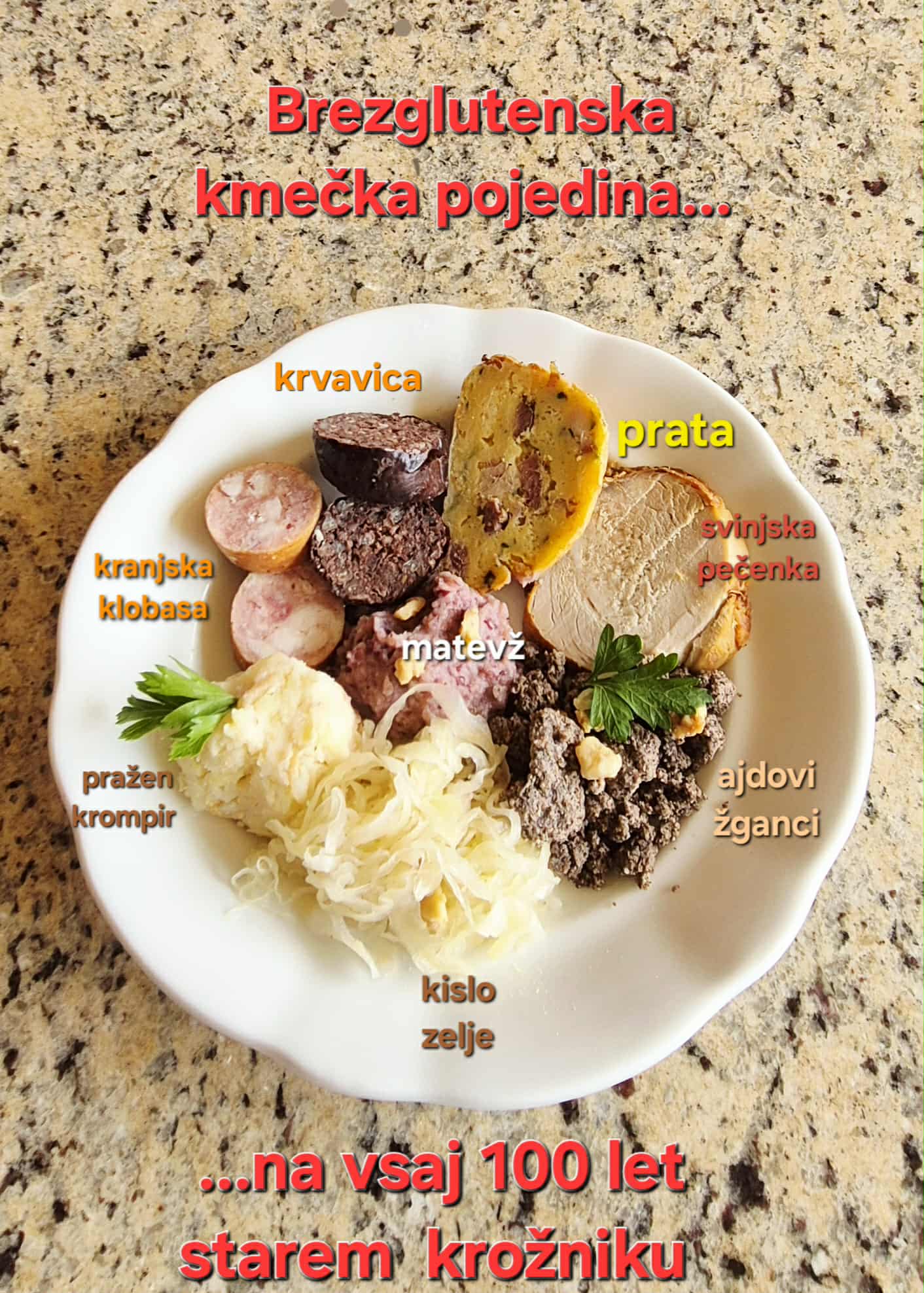
It began in 2023 as a festival, then was last year upgraded to an Expo, which, of course, means even more work for me. I suppose some might say I’ve only got myself to blame, but, as a coeliac myself, I somehow found myself wanting to help by providing an event for fellow coeliacs, as well as those with an intolerance to gluten and foodies in general. Why the latter? Because these days, gluten-free food has come a long way and, with the exception of a few ready packaged products, you often wouldn’t even know its gluten free, and that is certainly the case with all the delicious, fresh food on offer at Gluten-Free Expo Slovenia!
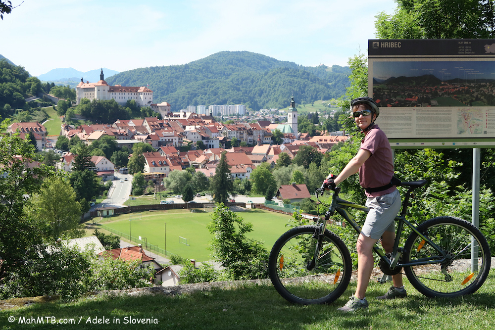
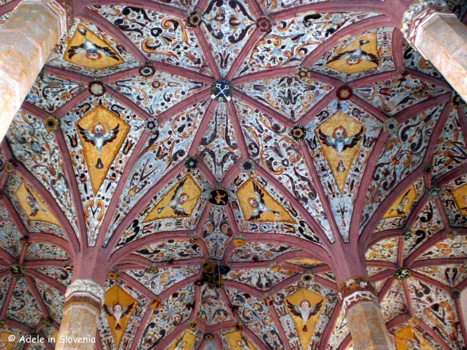
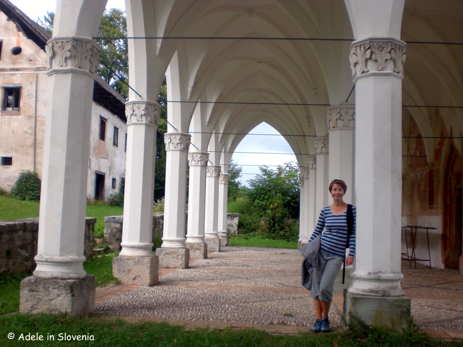
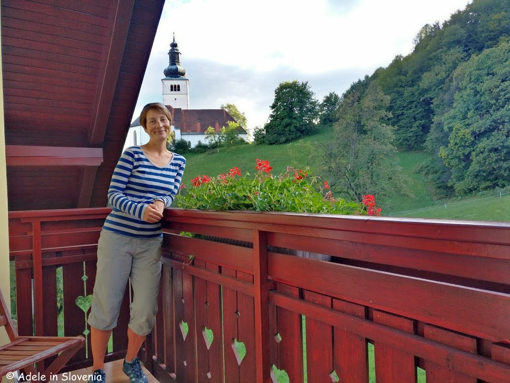
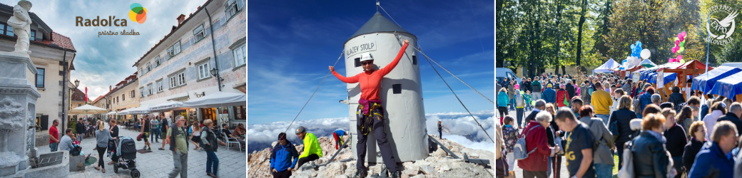
Of course, the fact its held in Radovljica, my favourite town in Slovenia, is an added bonus!
This year’s Expo begins on Saturday 27th September with an Algerian cookery workshop, followed by a special Farmer’s Feast lunch at Lincer in Lesce.

Then, in the evening, treat yourself to a really unique Two Chefs’ Dinner at Hiša Linhart, cooked by Michelin-starred chef Uroš Štefelin and Janez Repolusk, himself a coeliac, from Gostilna Repolusk in Slovenia’s Koroška (Carinthia) region.


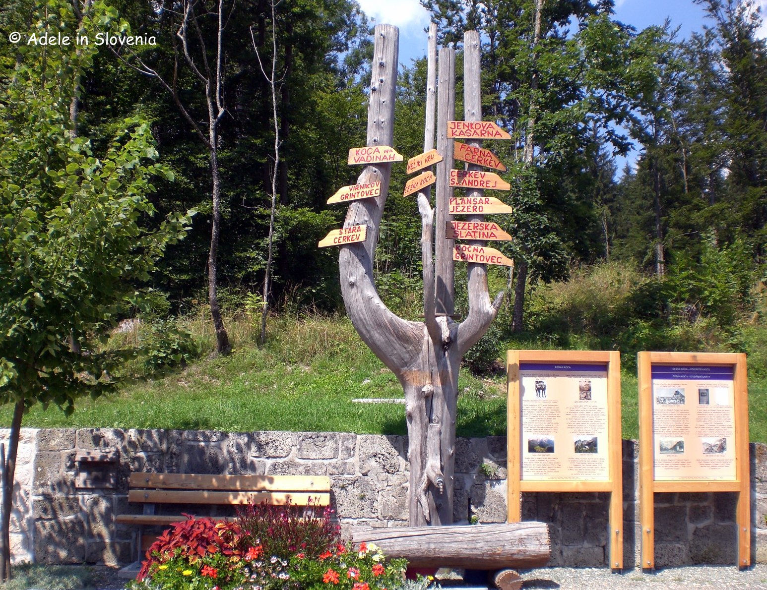
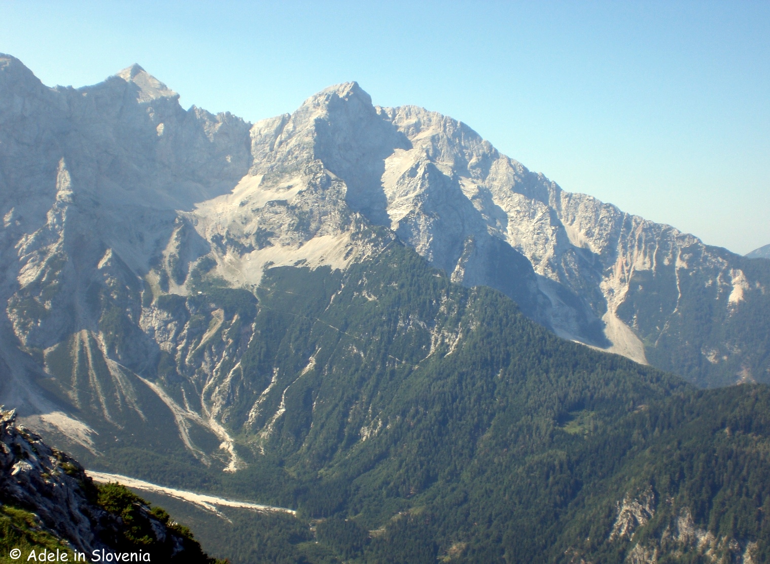
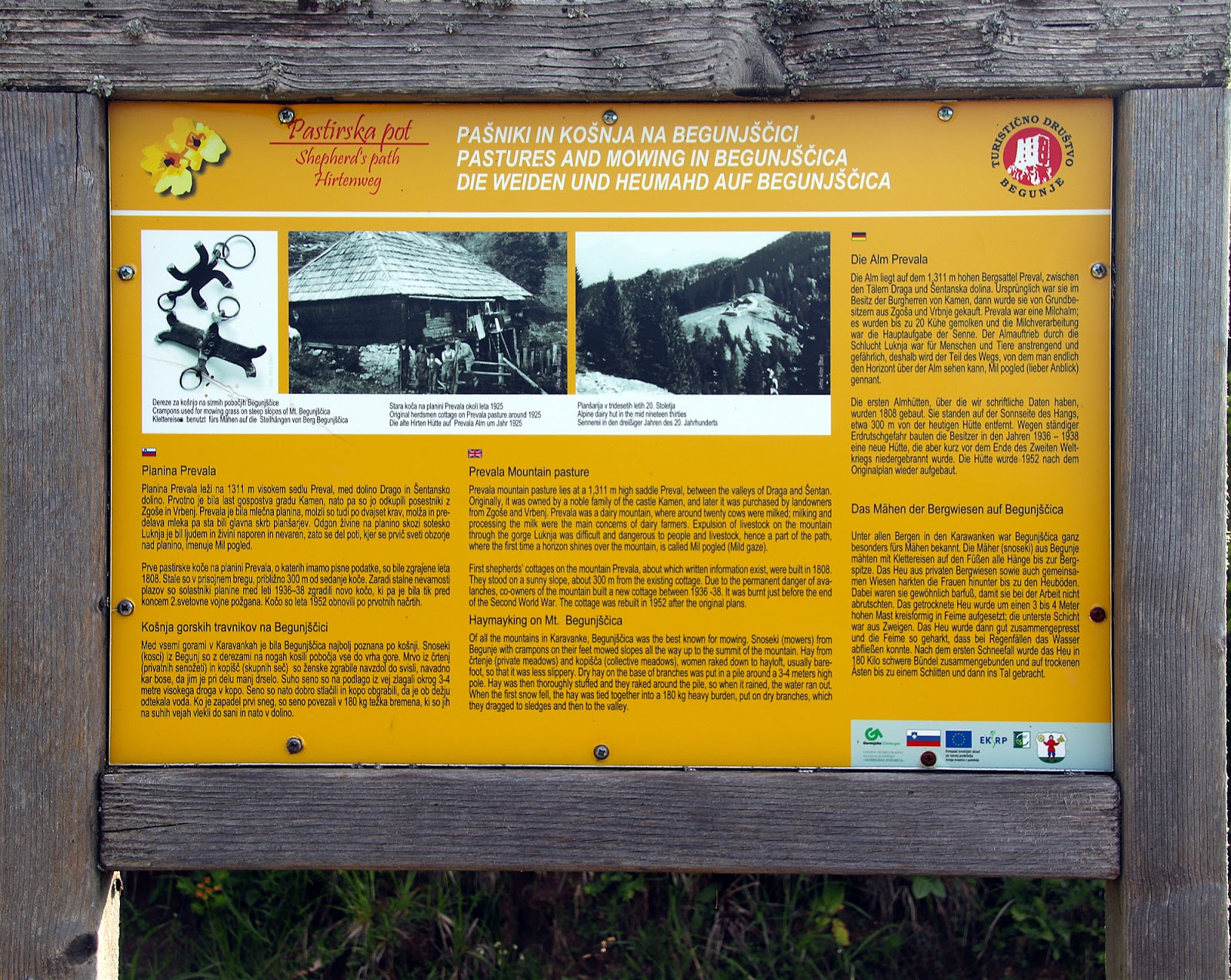
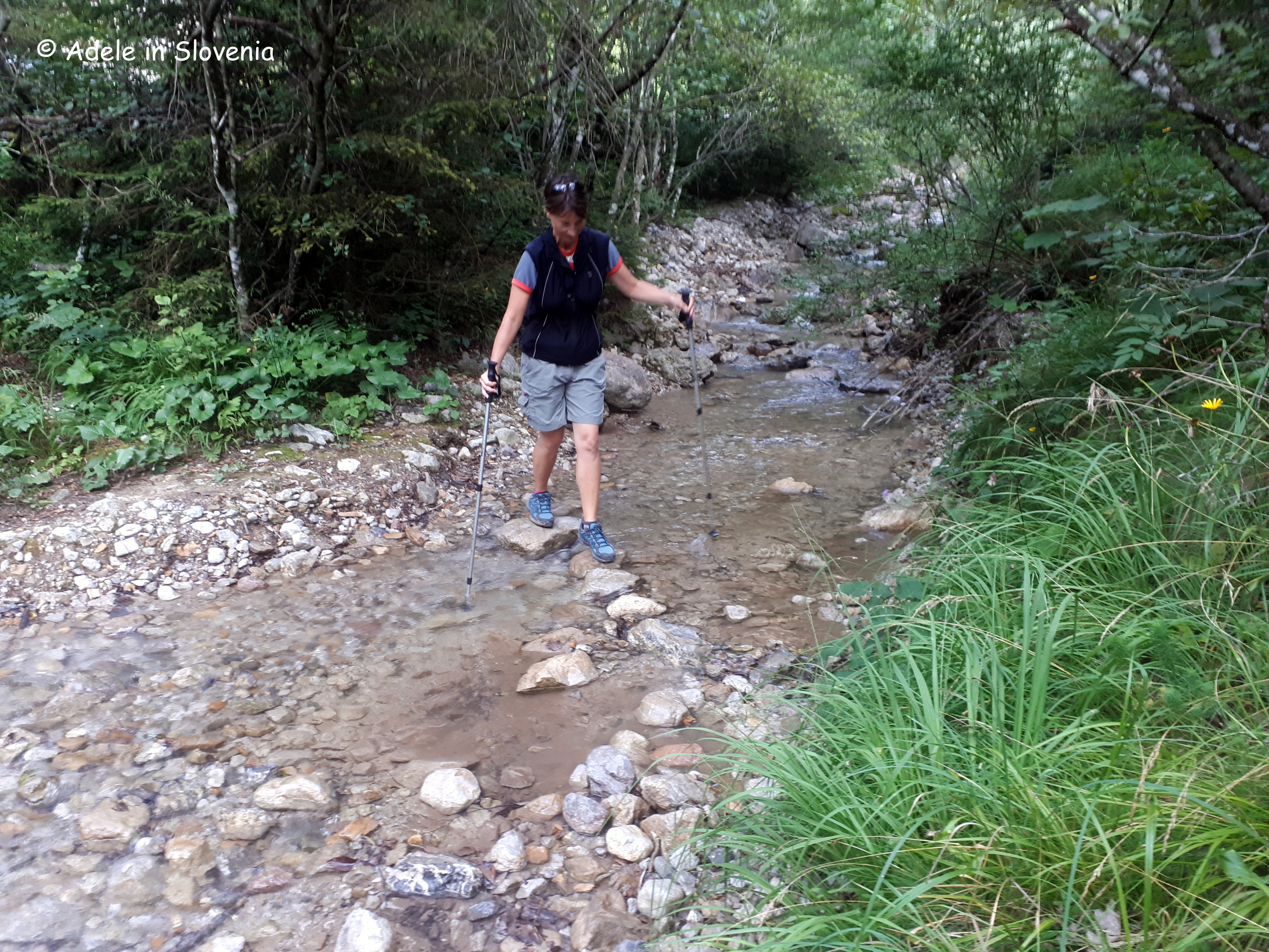
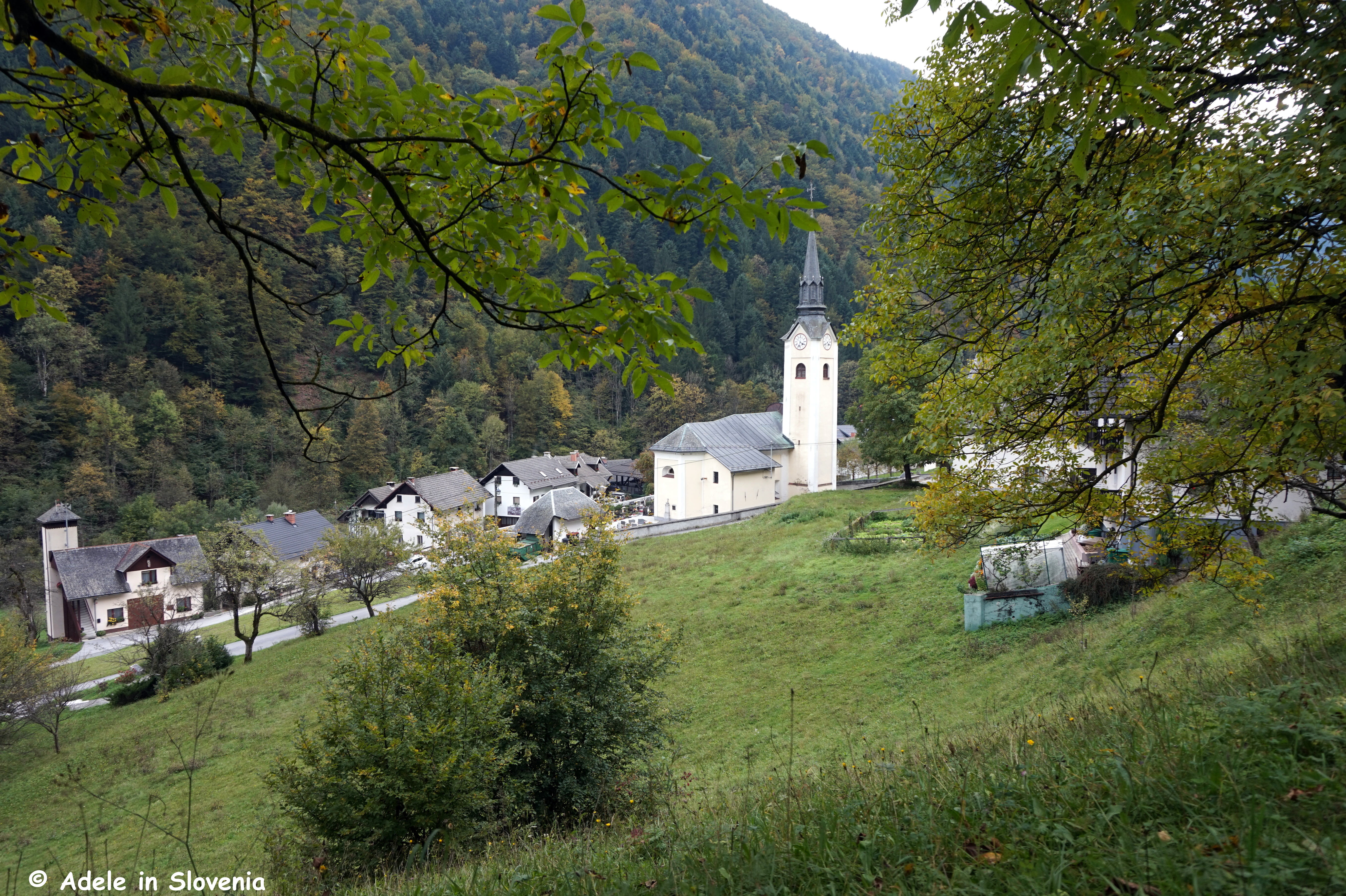
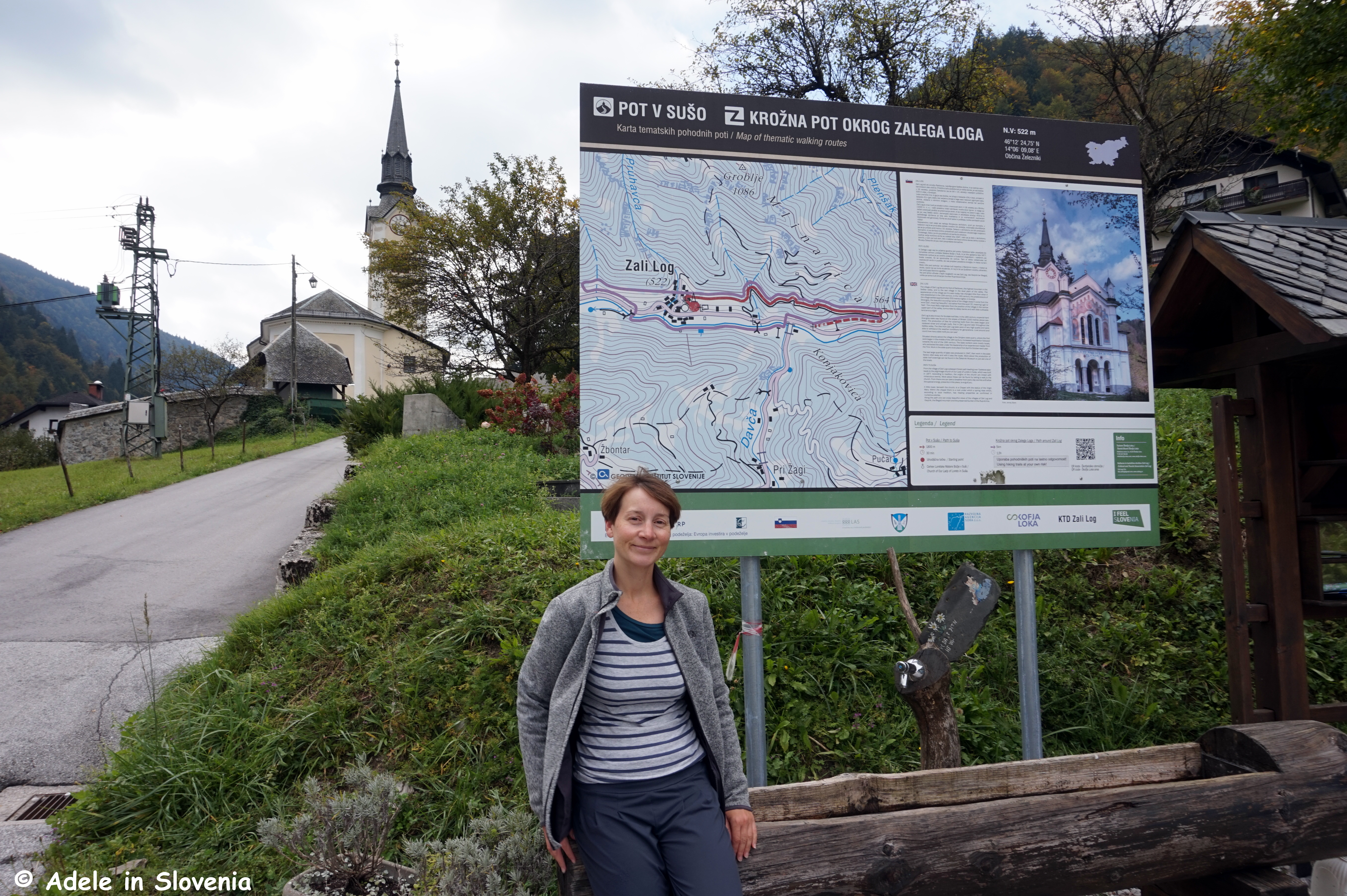
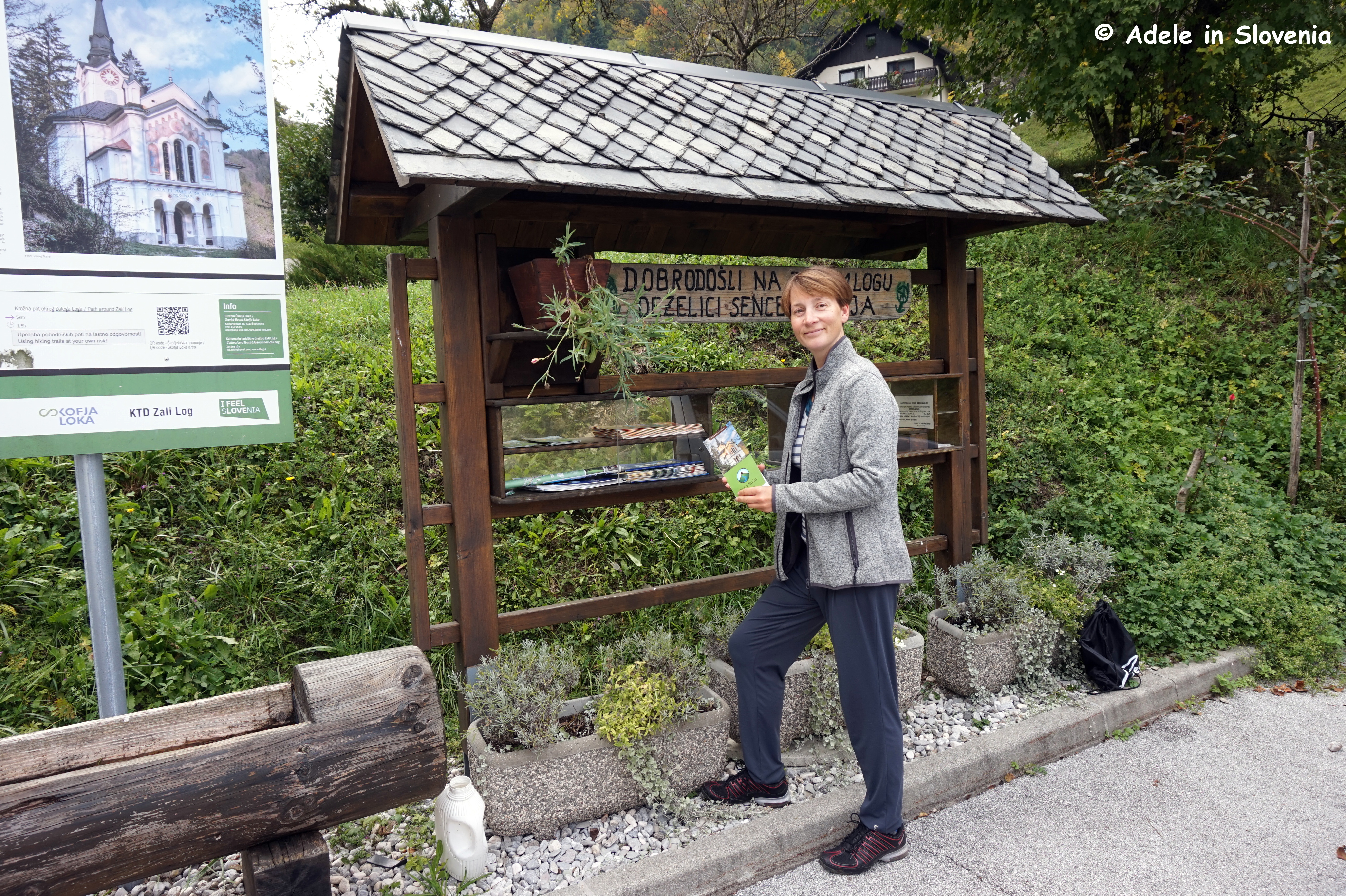
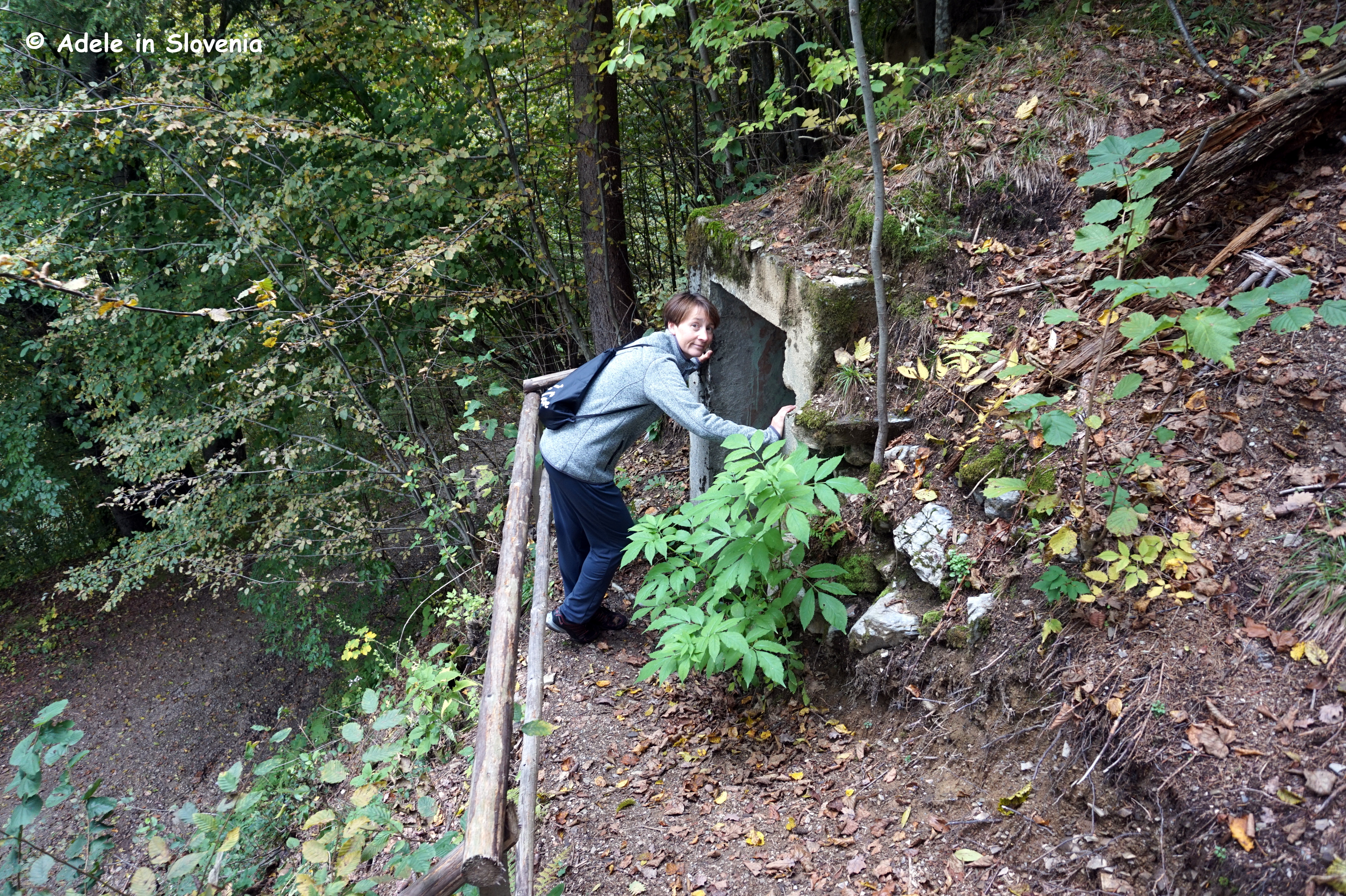
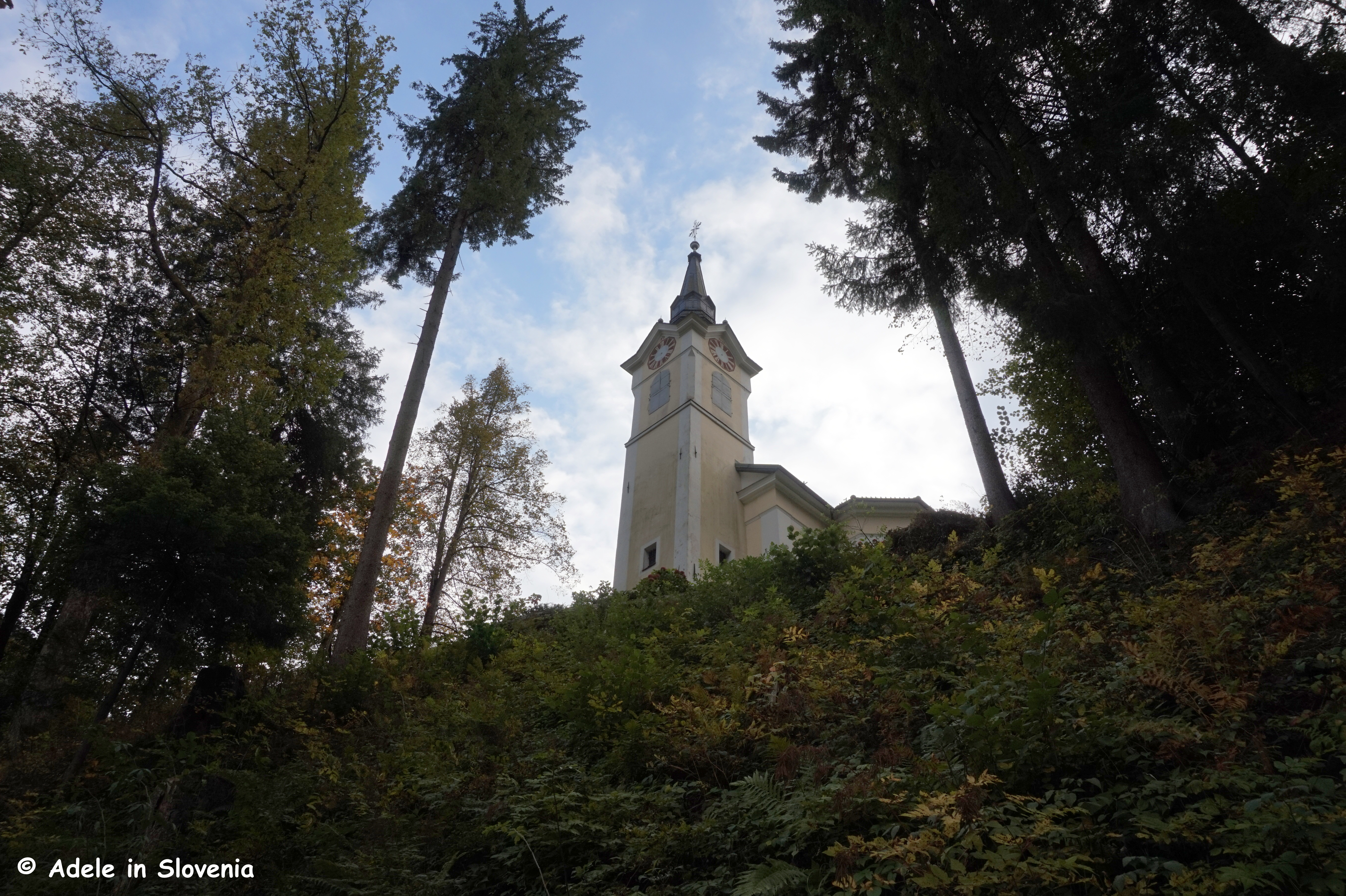
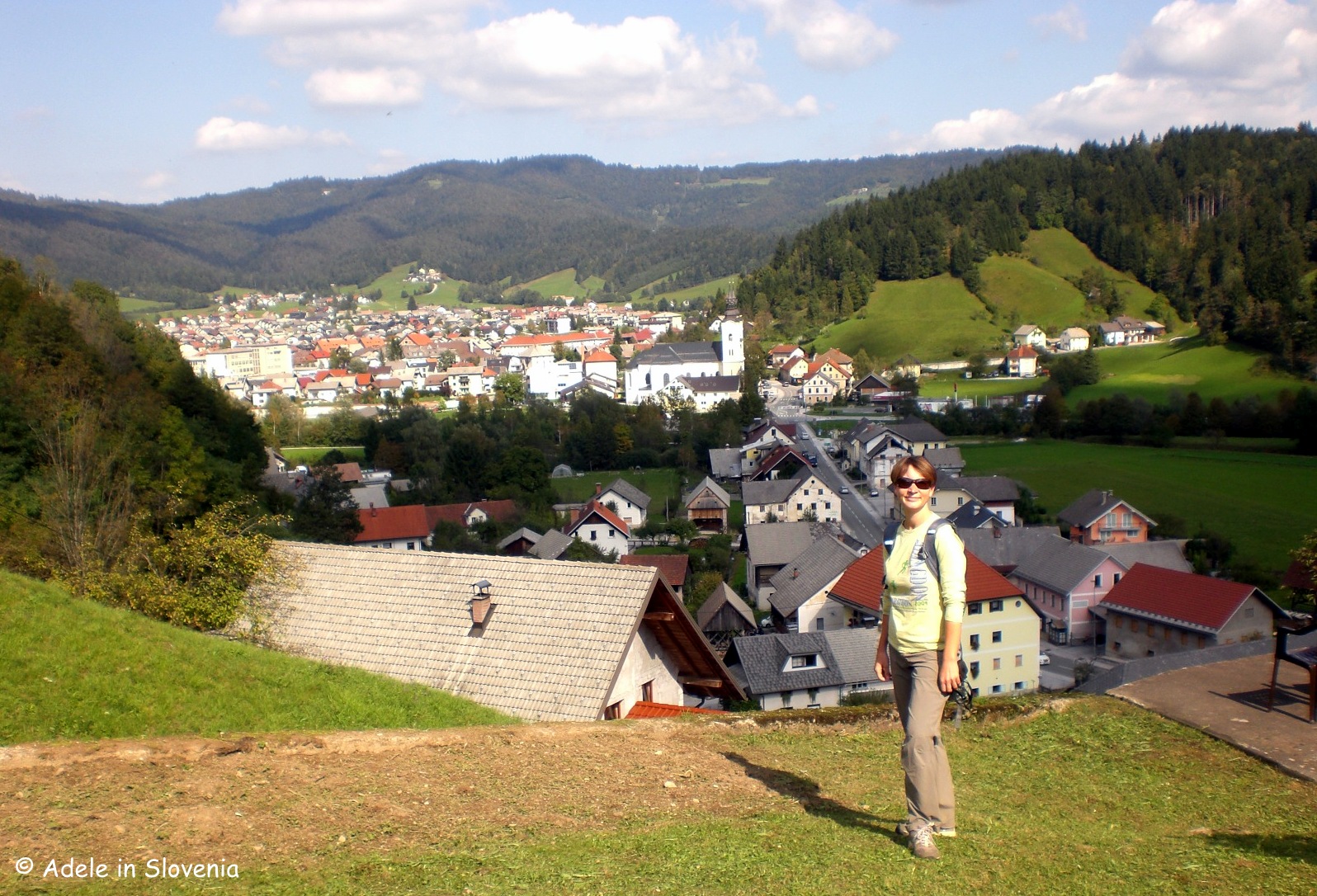
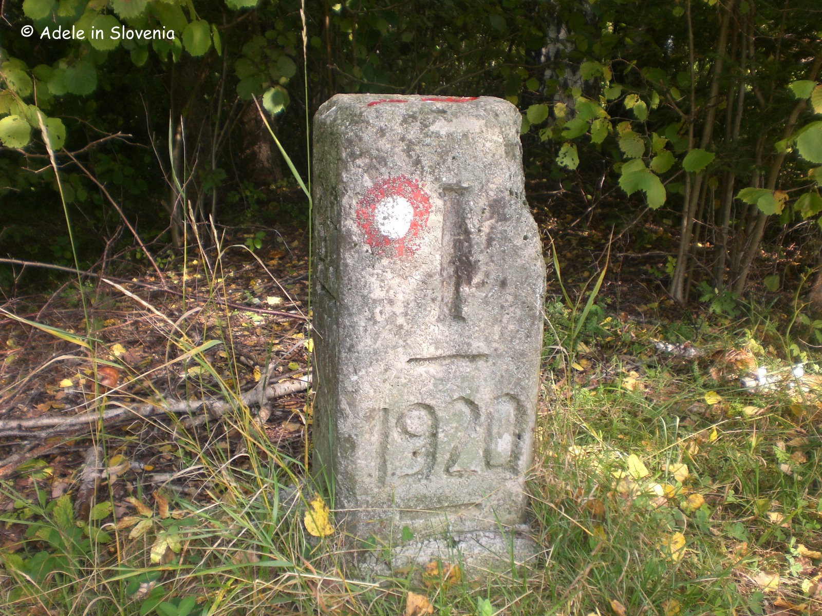
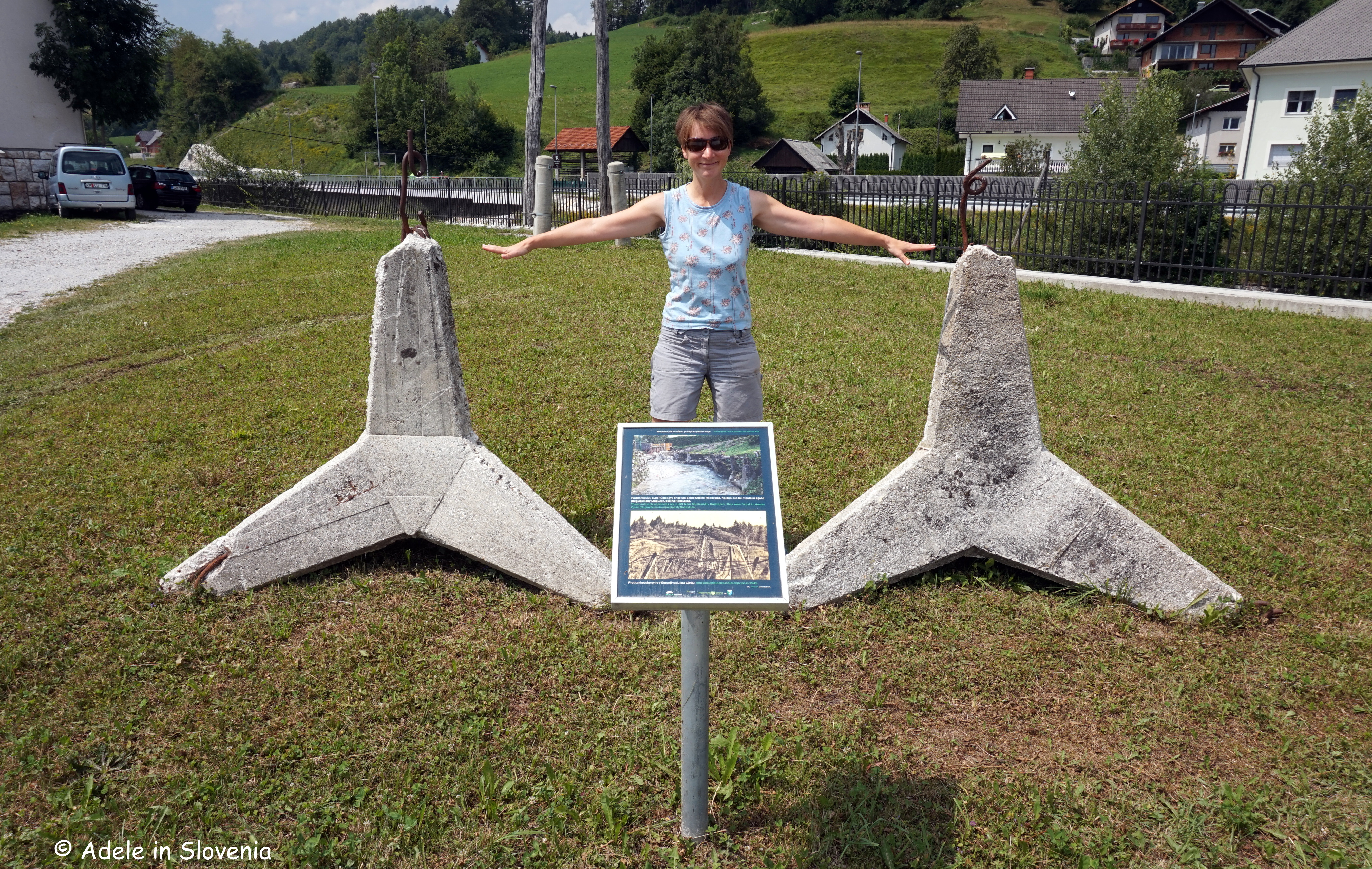
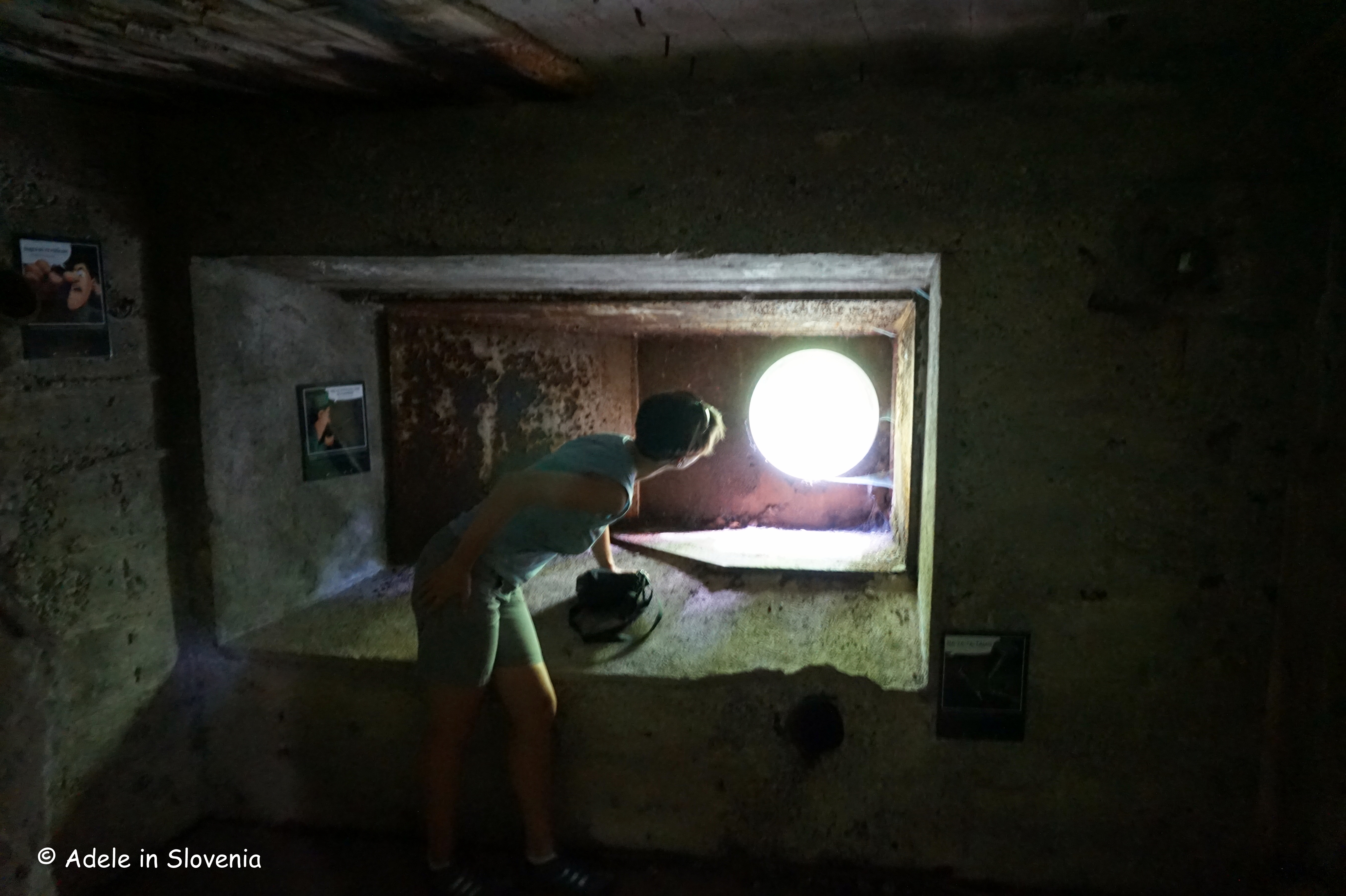
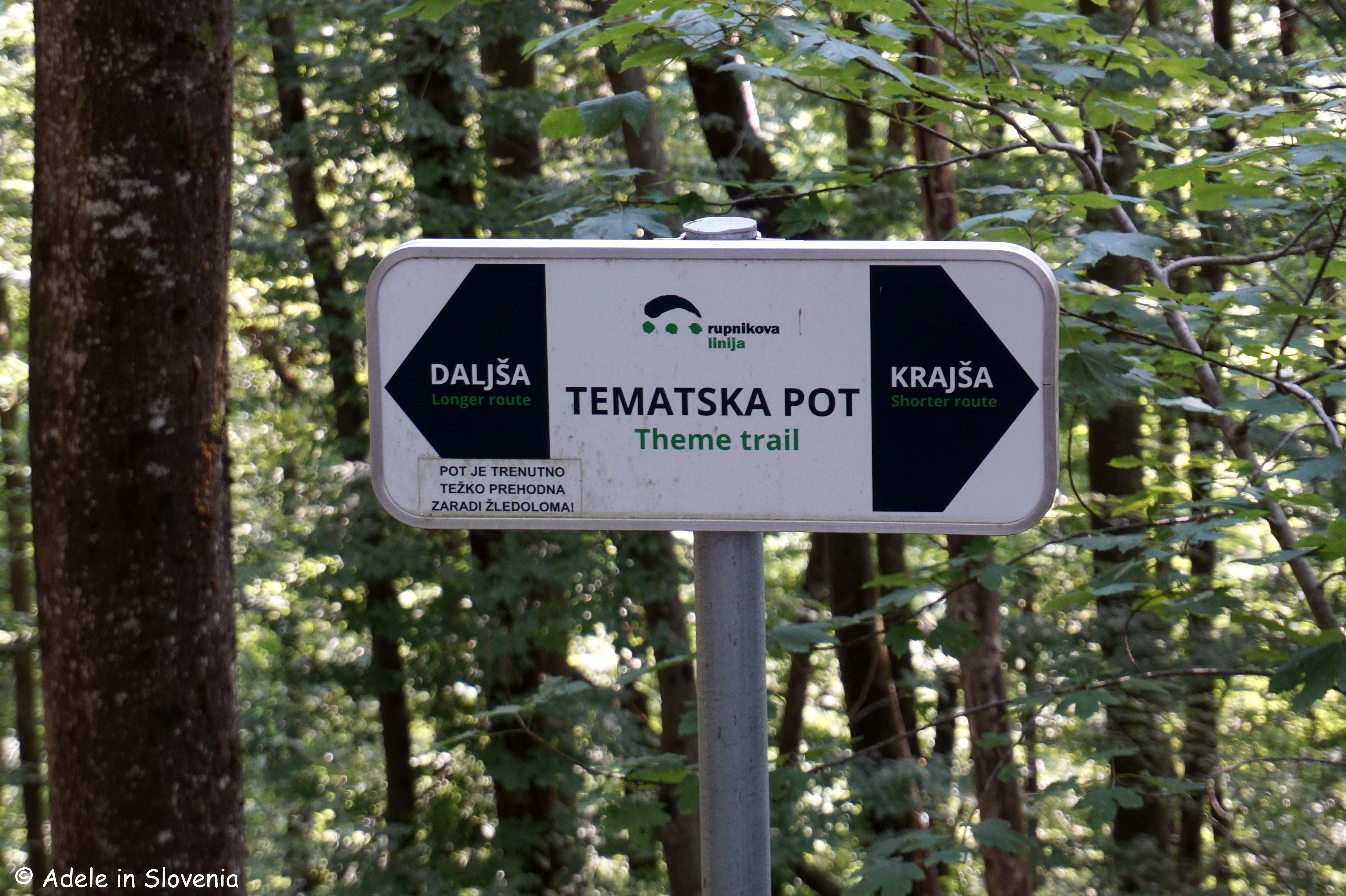
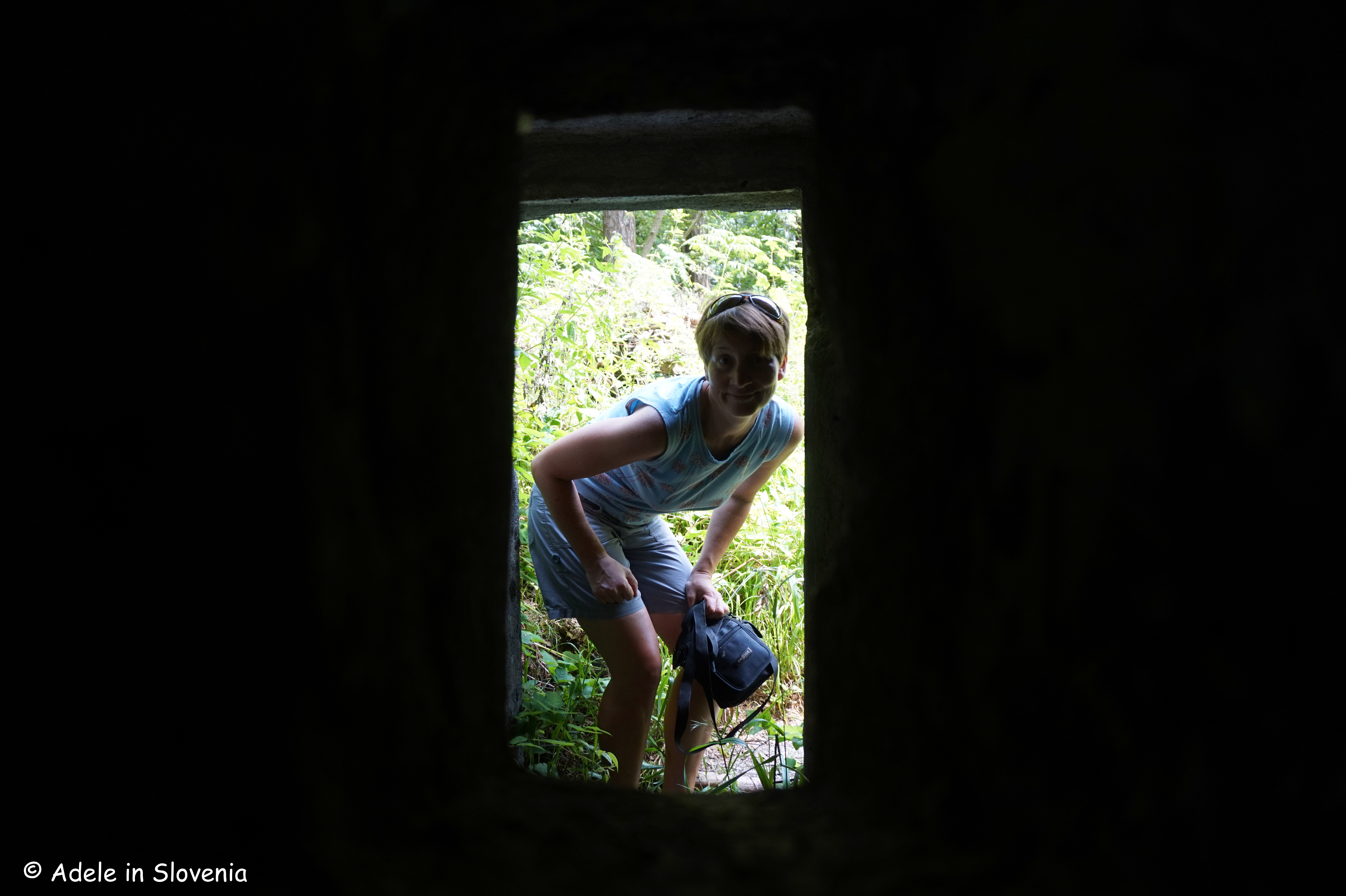
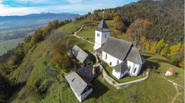
In between, there will be enough time to visit Kamen Castle in Begunje na Gorenjskem, where, as part of the Pranger Festival of Poetry, Criticism, Translation and Reading, you can enjoy the ambience of poetry reading (albeit in Maltese, but it’s about expression rather than understanding) and accordion music, amid the scenic backdrop of the castle ruins. Or if that doesn’t appeal, work up an appetite by making the short hike on the St. Peter’s Trail up to St. Peter’s Church above the village or take one of the theme trails in the area.
_r.jpg)
Also as part of the Pranger Festival, an art market will take place in Linhart Square in Radovljica from 10 a.m. on Saturday 27th September.
More about the Pranger Festival here (in Slovene): https://www.radolca.si/sl/koledar-prireditev/festival-pranger and in English: https://pranger.si/en/
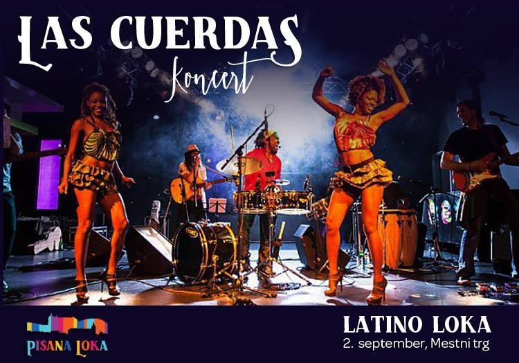
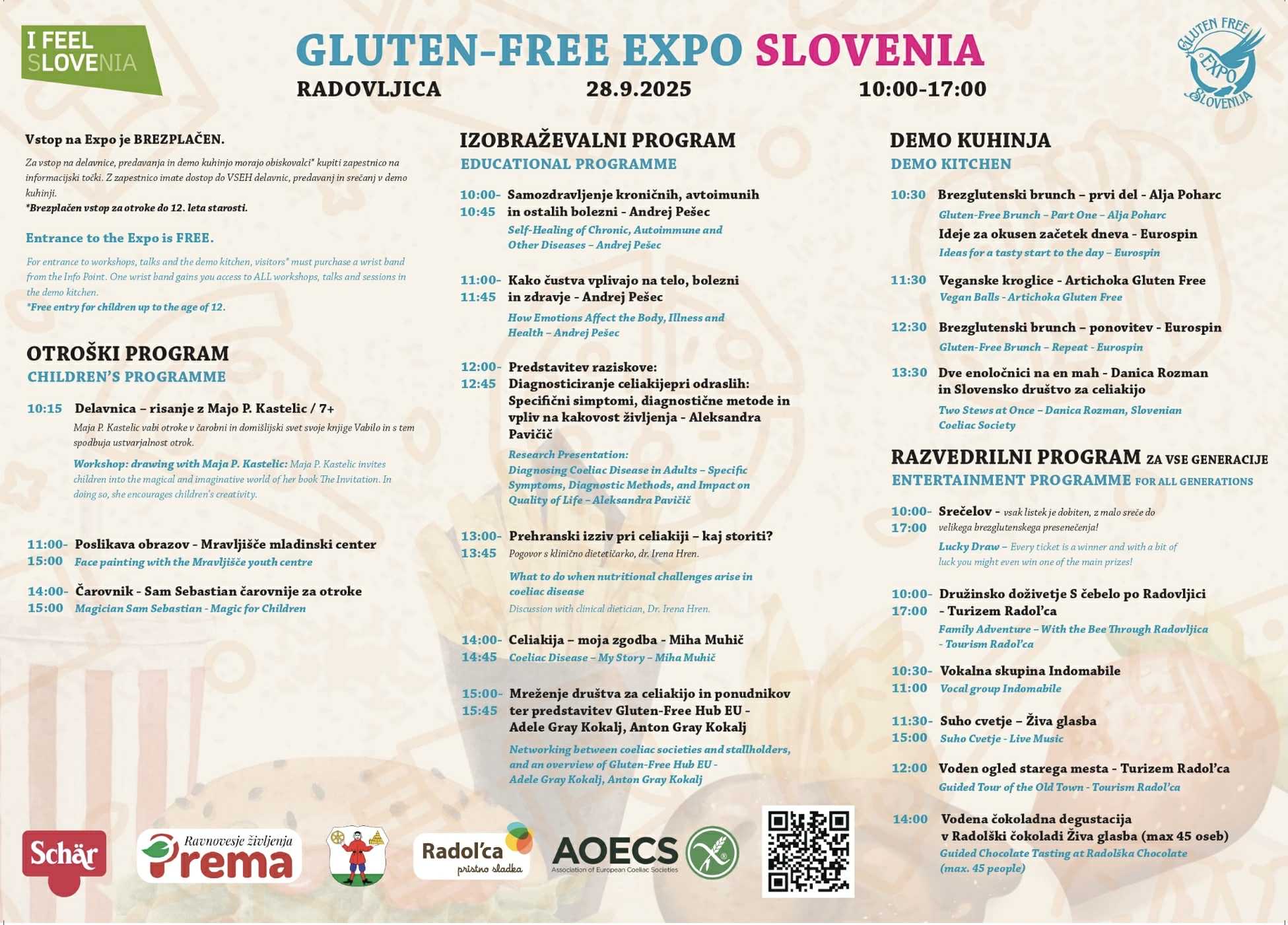
Sunday 28th September is the main day of Gluten-Free Expo Slovenia, when there will be over 25 stalls in Linhart Square – the heart of Radovljica’s old town – where you can try and buy a whole range of food, gluten-free of course, though you won’t know it!
In addition, there will be a series of cookery demonstrations and talks (English translation will be available for the latter), a magician, live music and more.
For more information and to make bookings for any of the workshops, talks or lunches/dinners, get in touch by sending an email to glutenfreeexposlo@gmail.com
Here’s a glimpse into last year’s Expo.
Please do come along to say ‘Hi’ and to support me/us in our endeavours to put Slovenia on the gluten-free map of the world!
© Adele in Slovenia