The Renovated Shepherds’ Trail

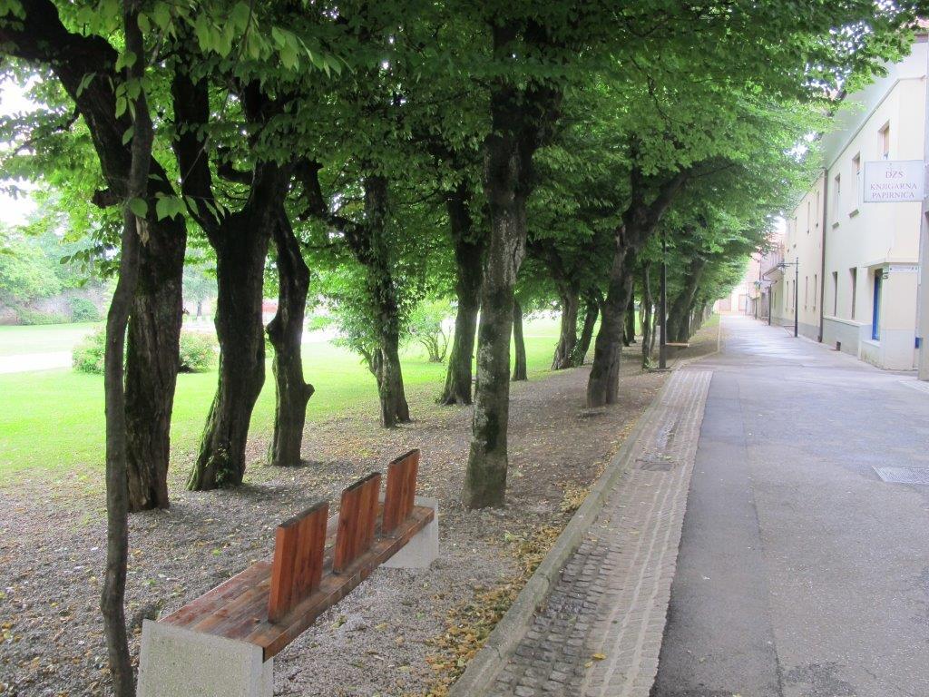
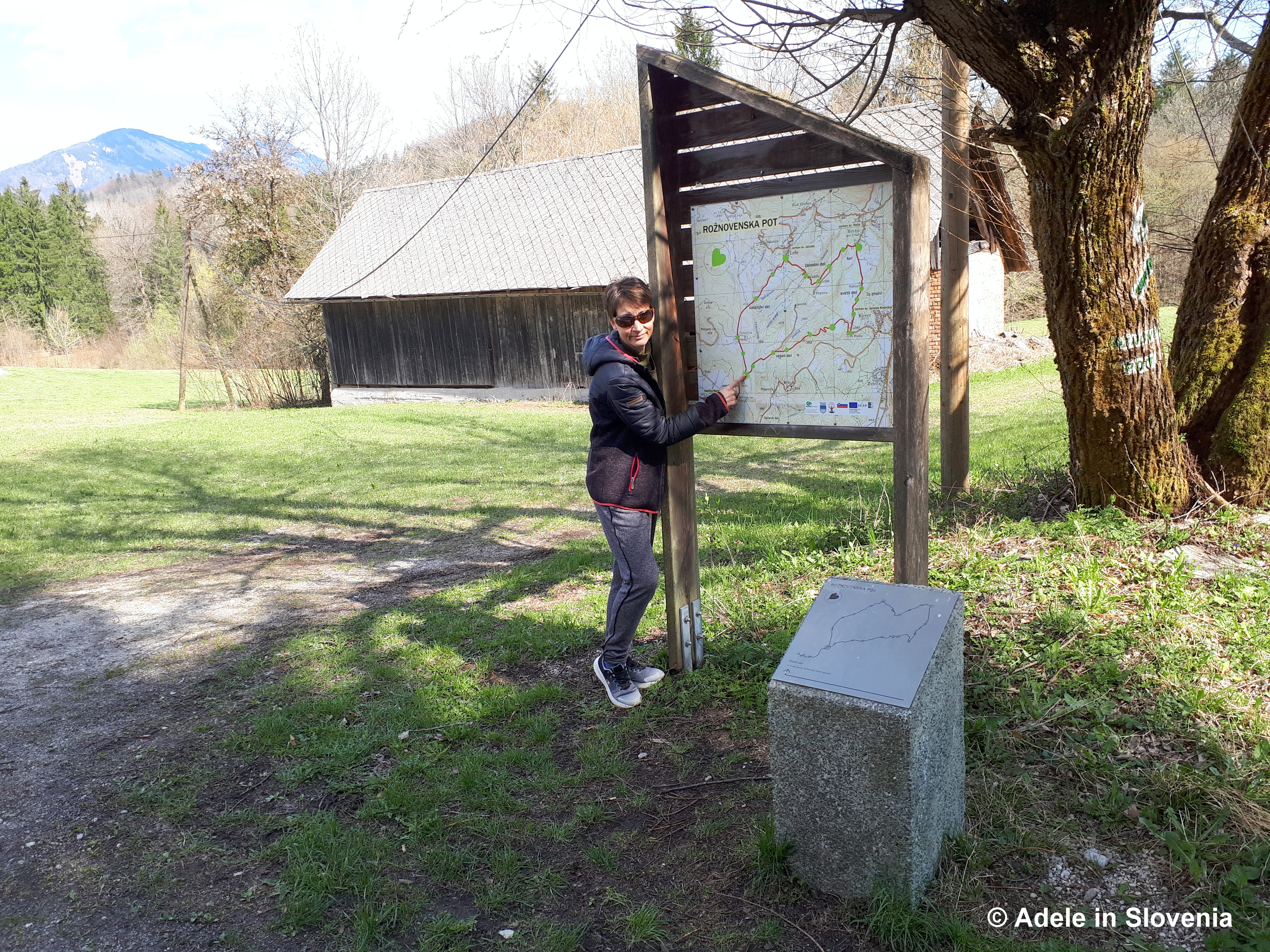
The Begunje Shepherds’ Trail (Pastirska pot) is one of my favourite of all the hiking trails in the Radol’ca area. The variety of the terrain, the stunning views, and the fact that it is entirely circular all add up to one great hike!

Unfortunately, during the major floods that affected large parts of Slovenia in August 2023, the trail sustained significant damage and was closed for around a year. It reopened in 2024, though the lower part of the trail in particular was almost unrecognisable. Since then, significant work has taken place and I’m pleased to be able to say that the trail is now better than ever.

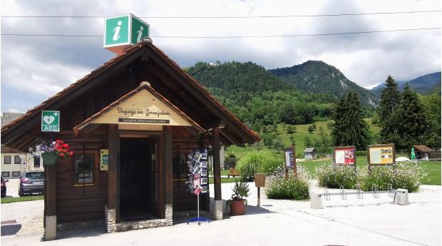
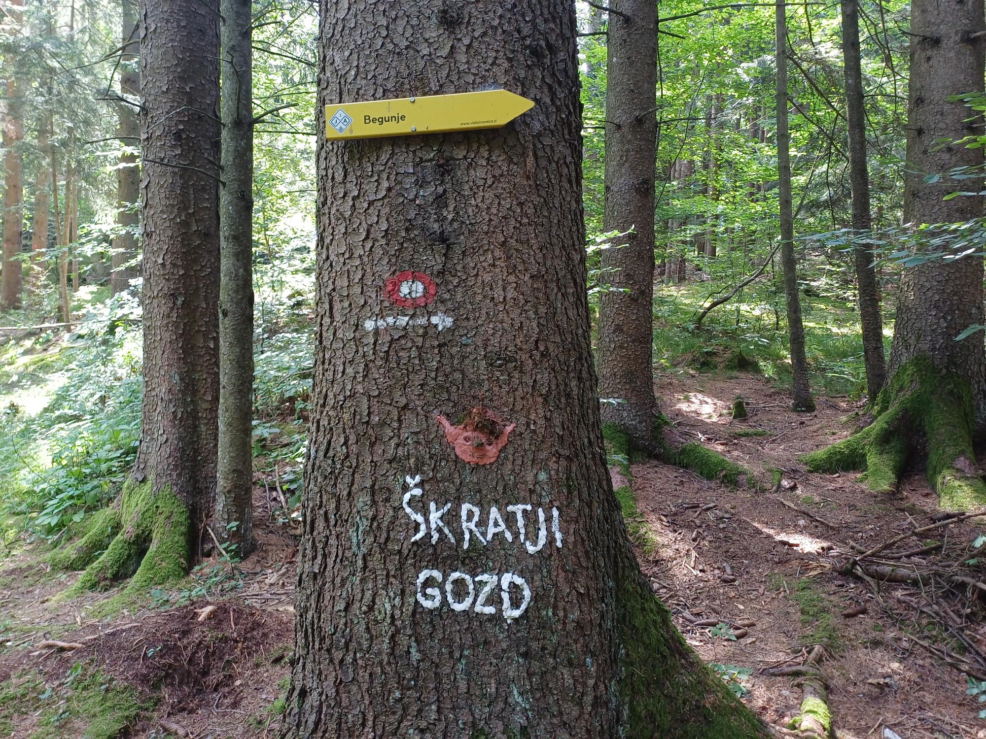
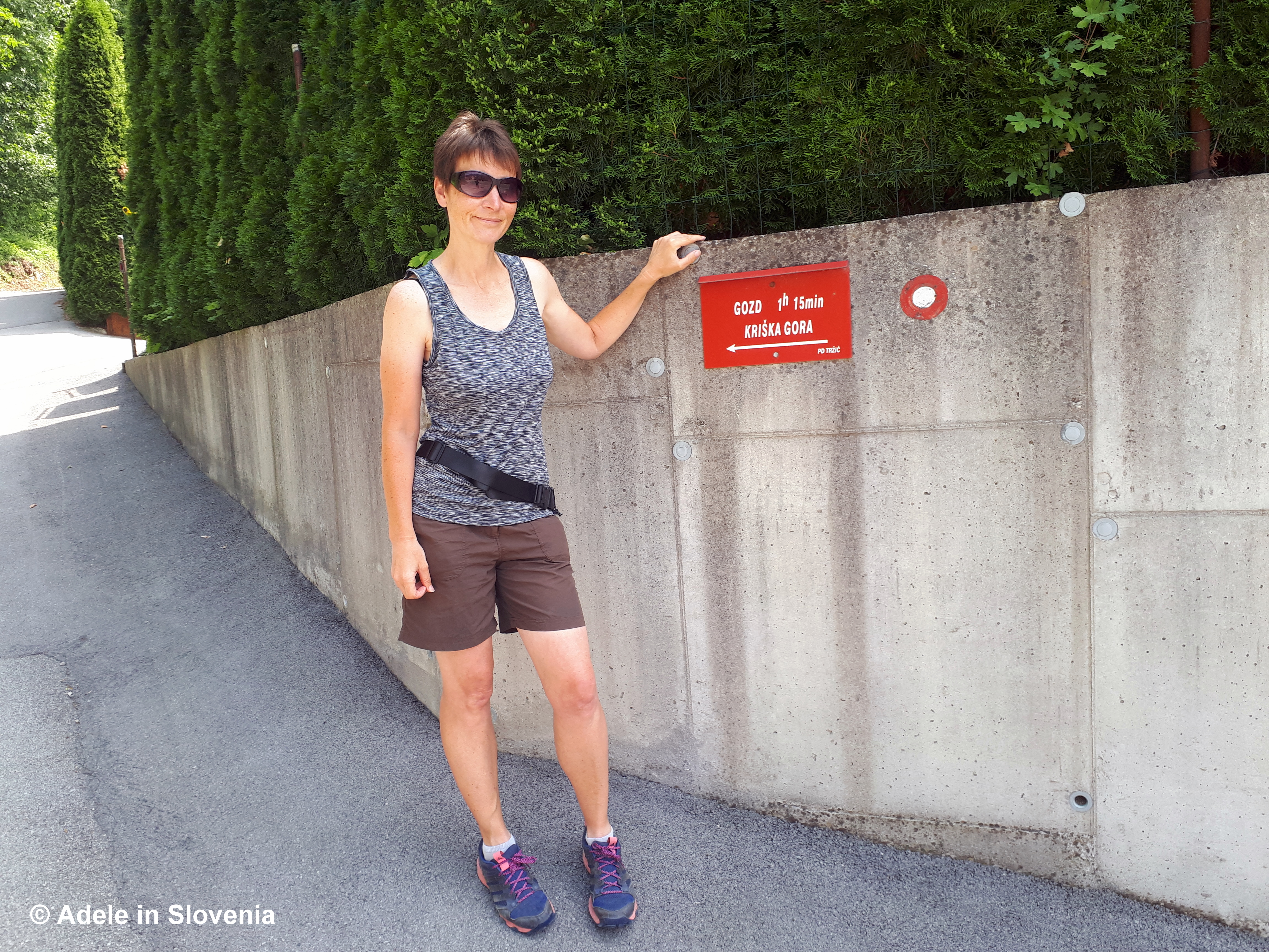
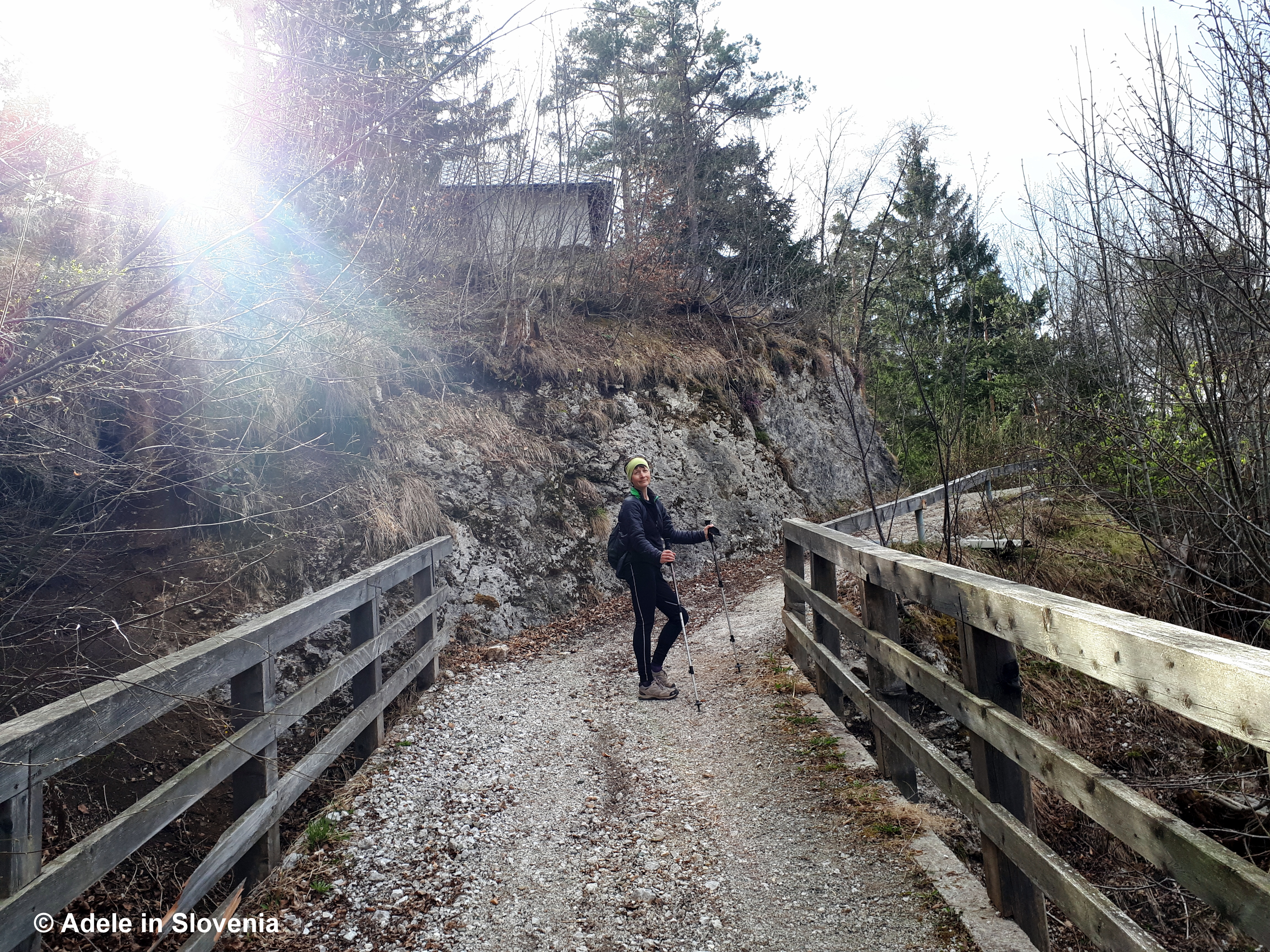
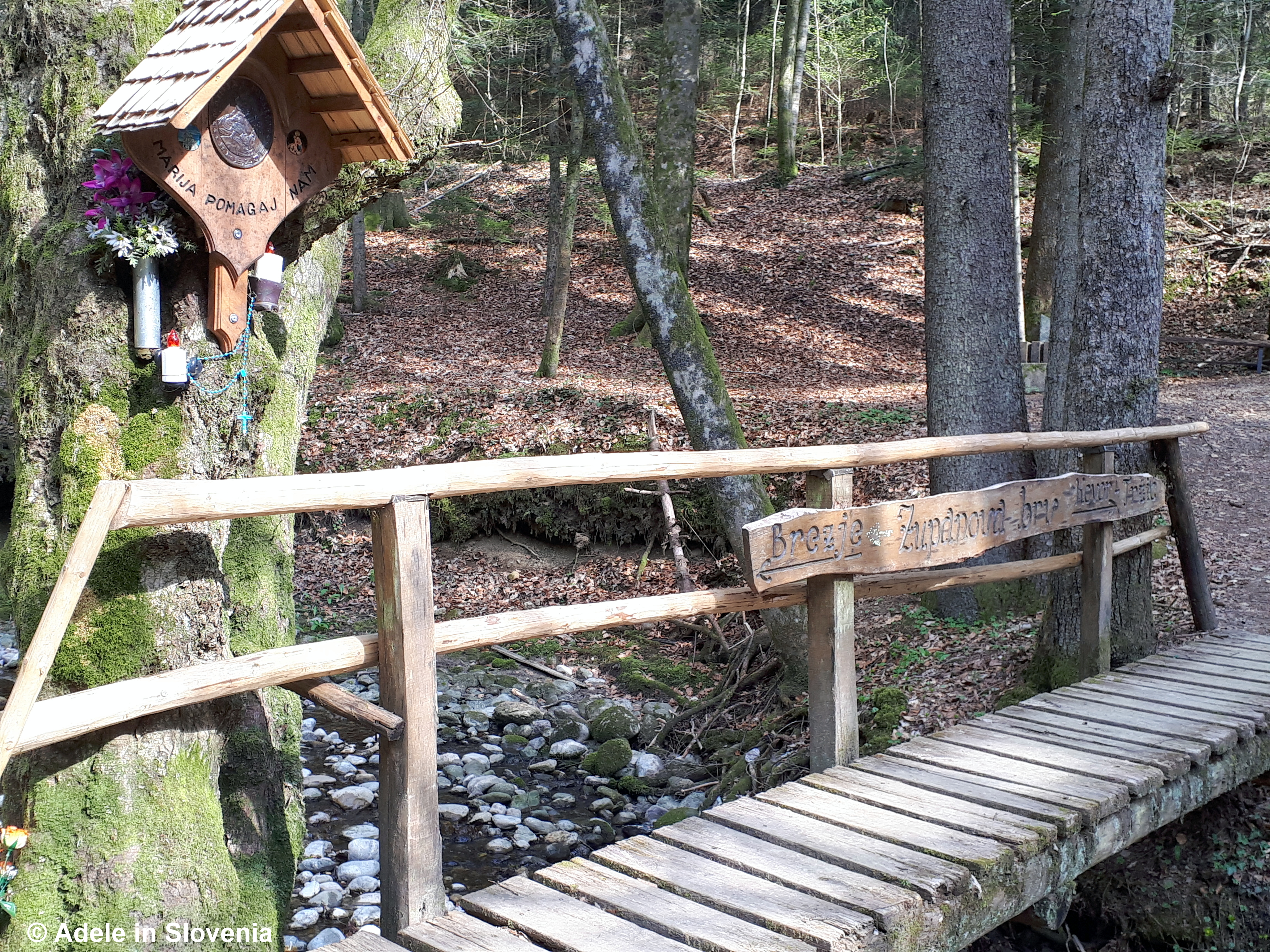
The trail begins at the head of the Draga Valley in Begunje na Gorenjskem, where you can park and set off on foot on the 10.2km trail. You will soon see a red sign to Preval, where you cross the stream and from then on follow the usual red and white circular trail markers. You soon reach one of the new bridges.

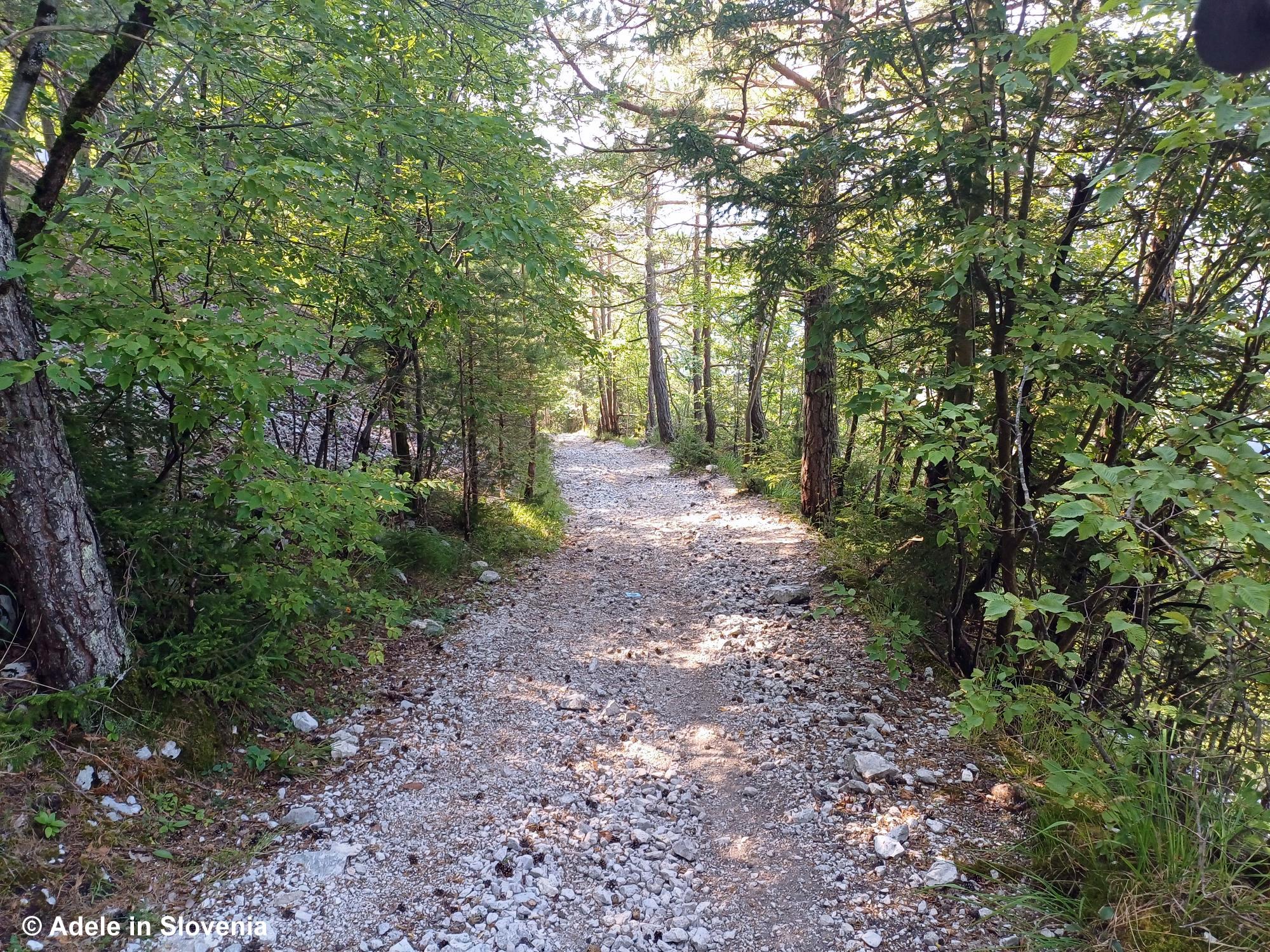
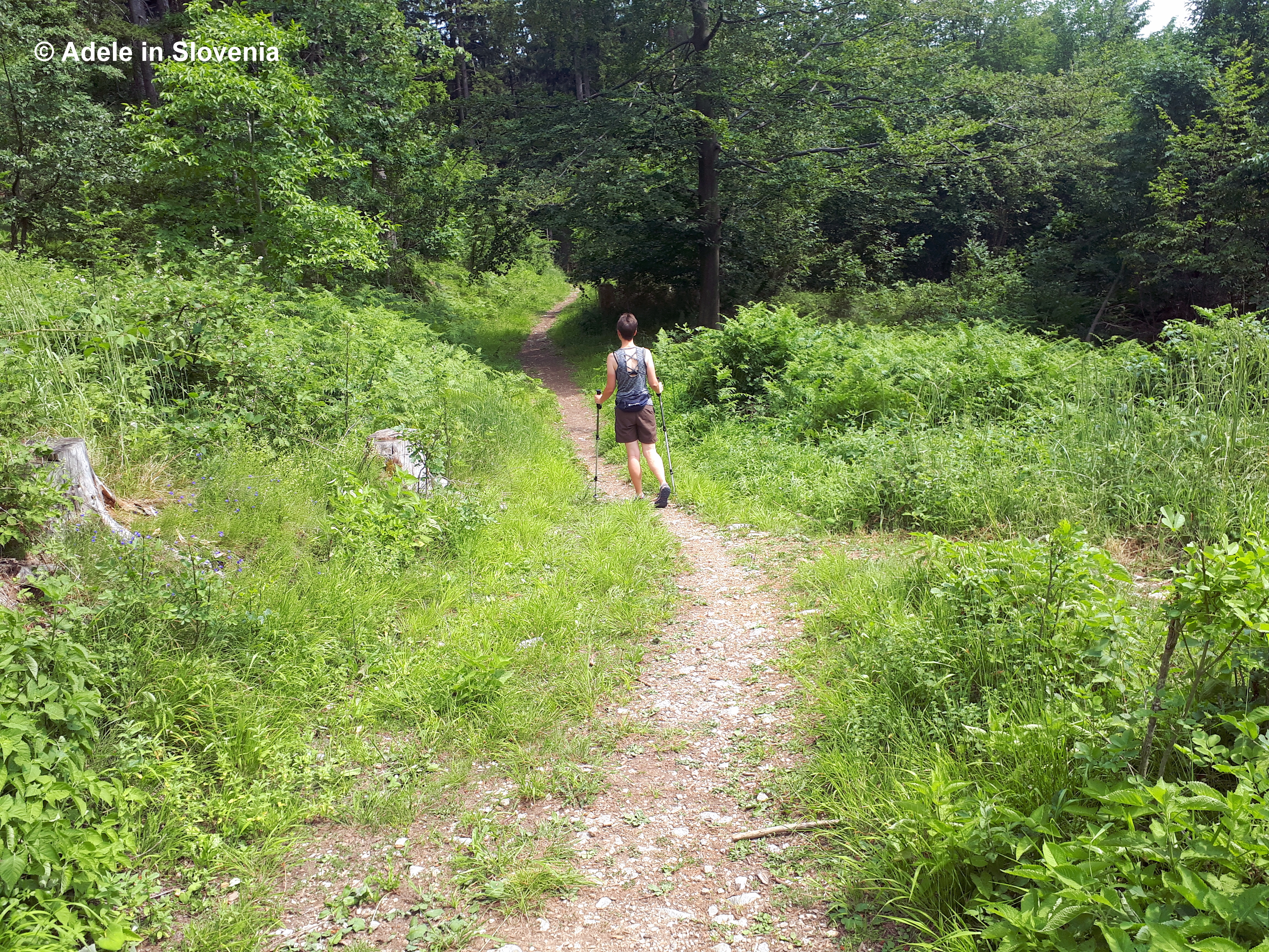
The trail then begins to lead up through the forest, passing a cascade of the stream.

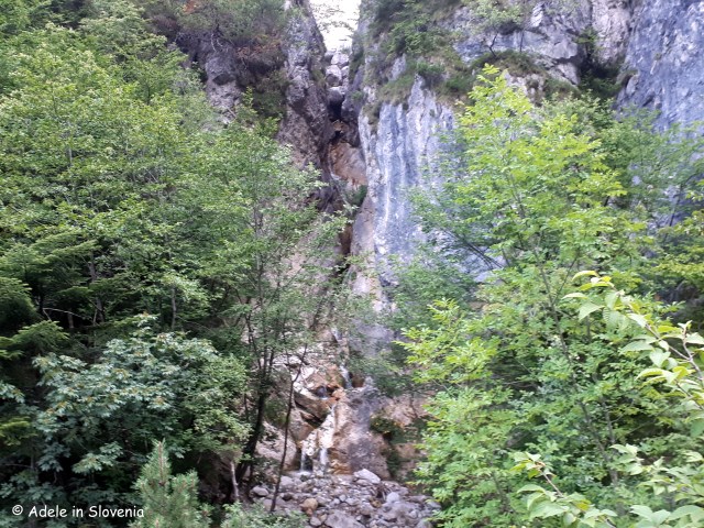
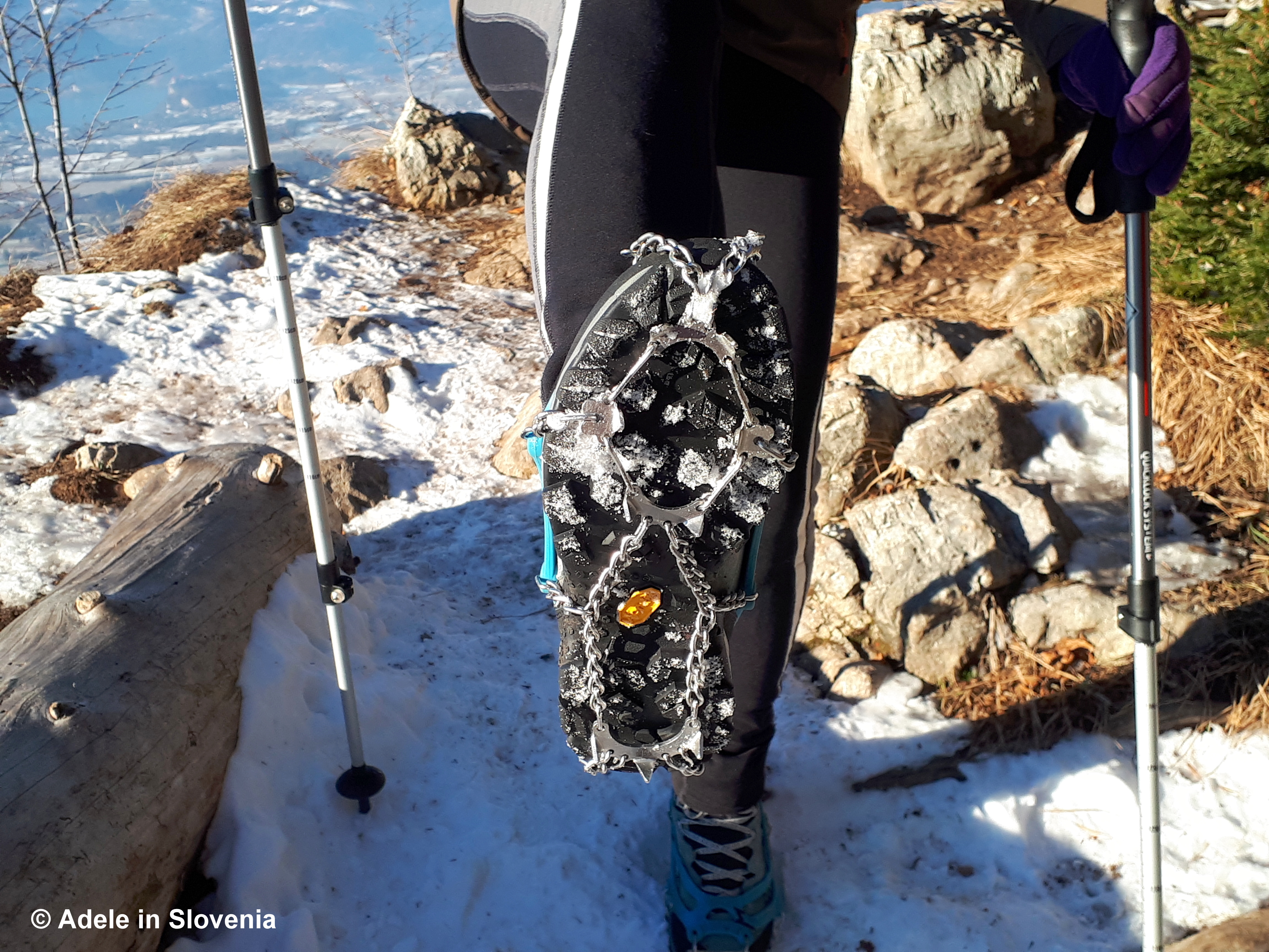
Now comes the hardest part of the trail, though following the floods it is actually better equipped than previously, with steel rope and rungs, so isn’t that difficult providing you have good footwear and are reasonably agile.

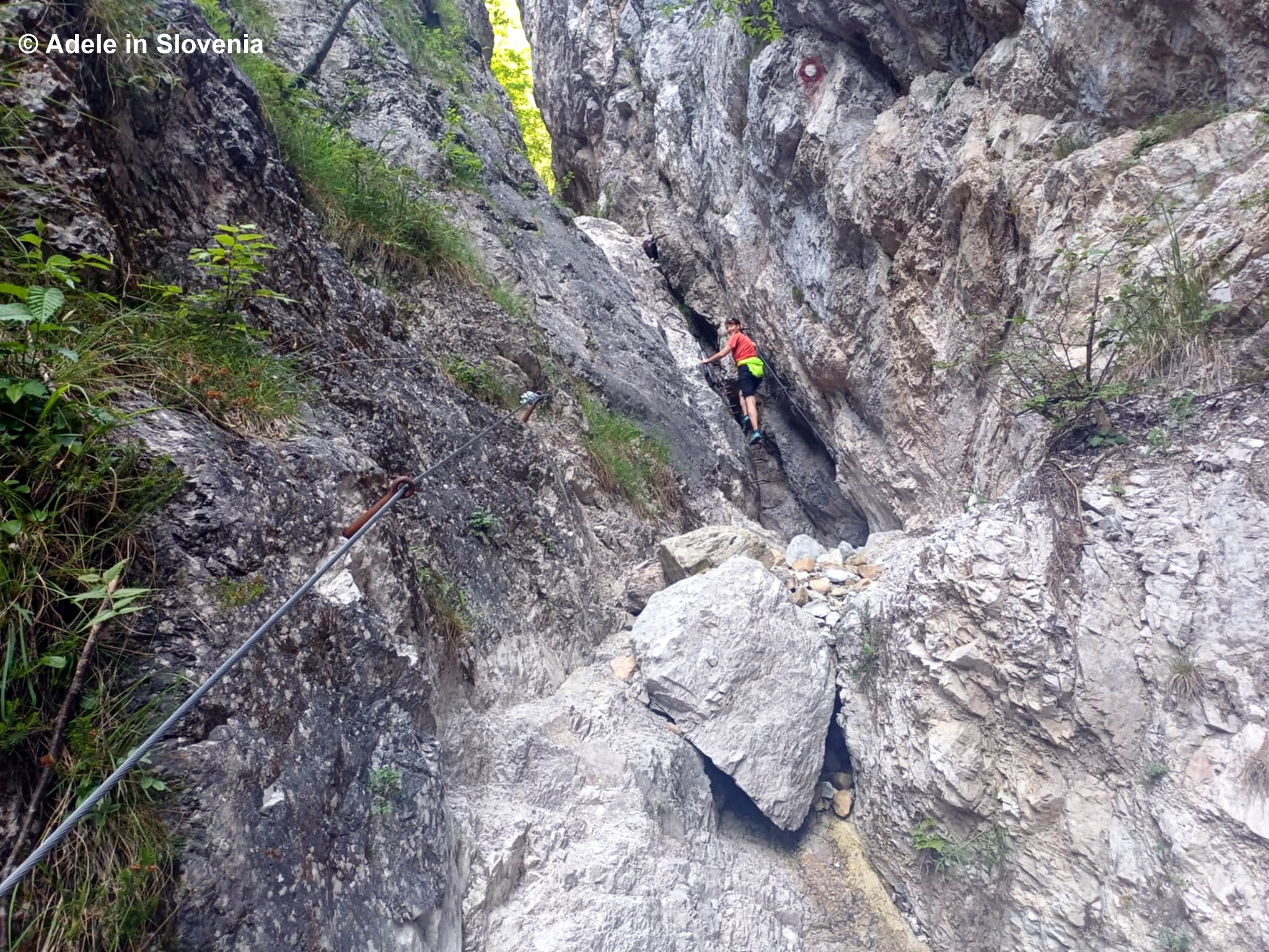
I wouldn’t recommend doing this hike after heavy rain, as the next part involves crossing the stream in several places, which is perfectly doable when water levels are low.

After cross the streaming one last time, you reach a rest area with a bench.

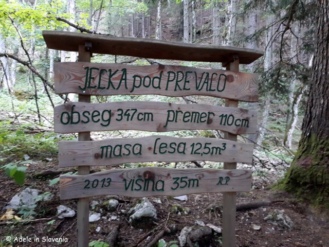
Next you reach a giant fir tree, so giant, in fact, there was no way or being able to photograph it from within the confines of the trail, so you’ll just have to visit and see it for yourself! The statistics on the signpost below give the facts and figures: circumference 347 cm, diameter 110 cm, quantity of wood 12.5 m3, height 35 metres.

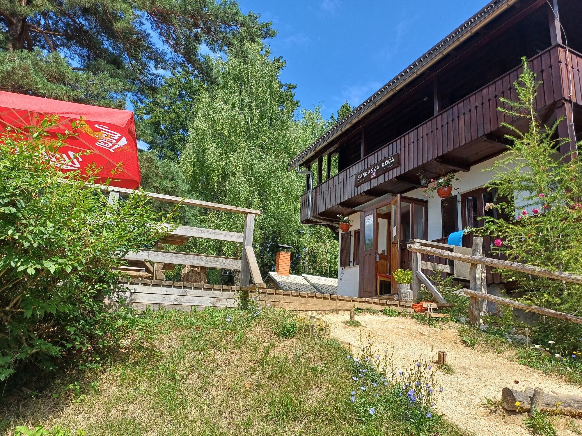
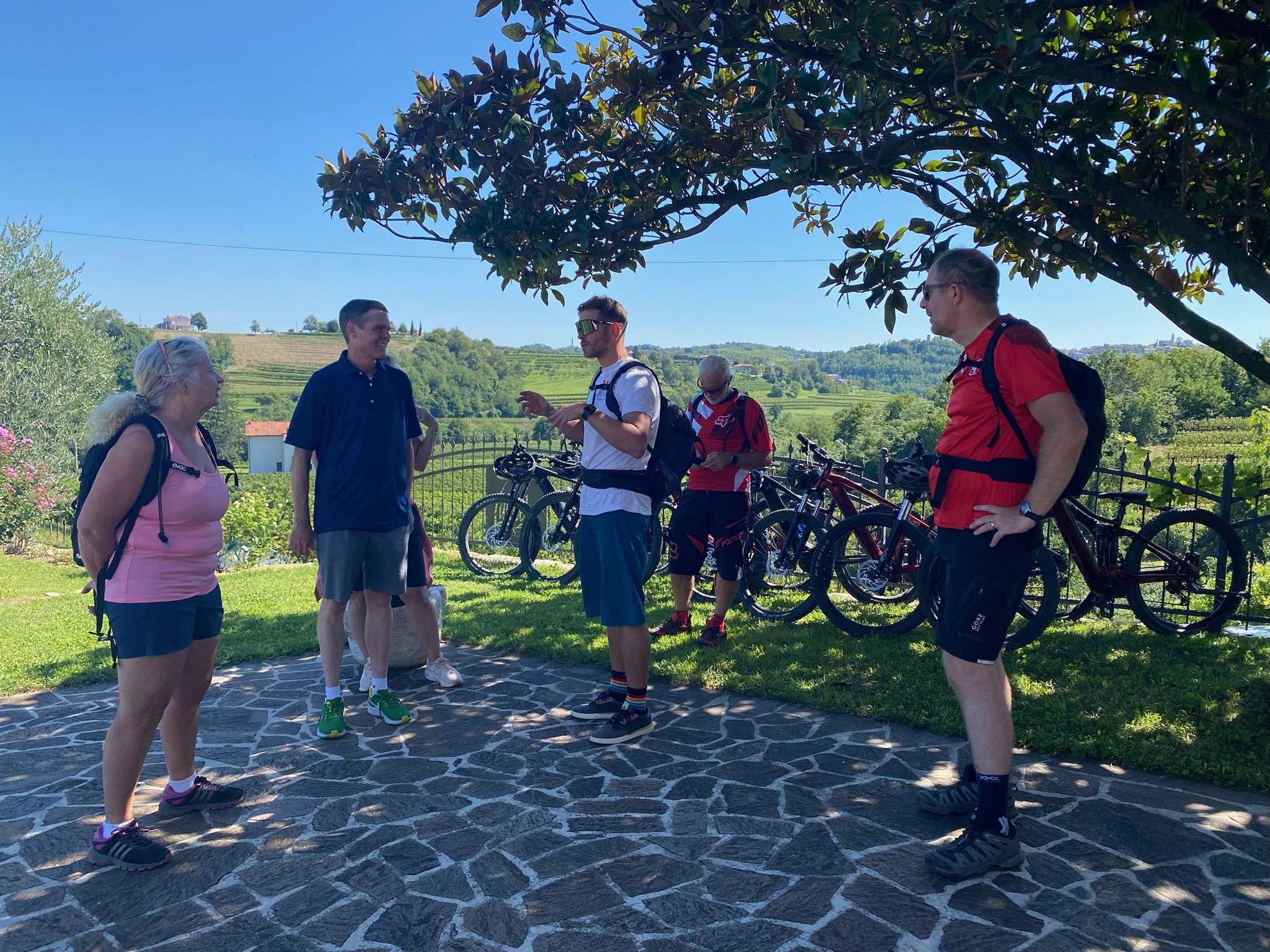
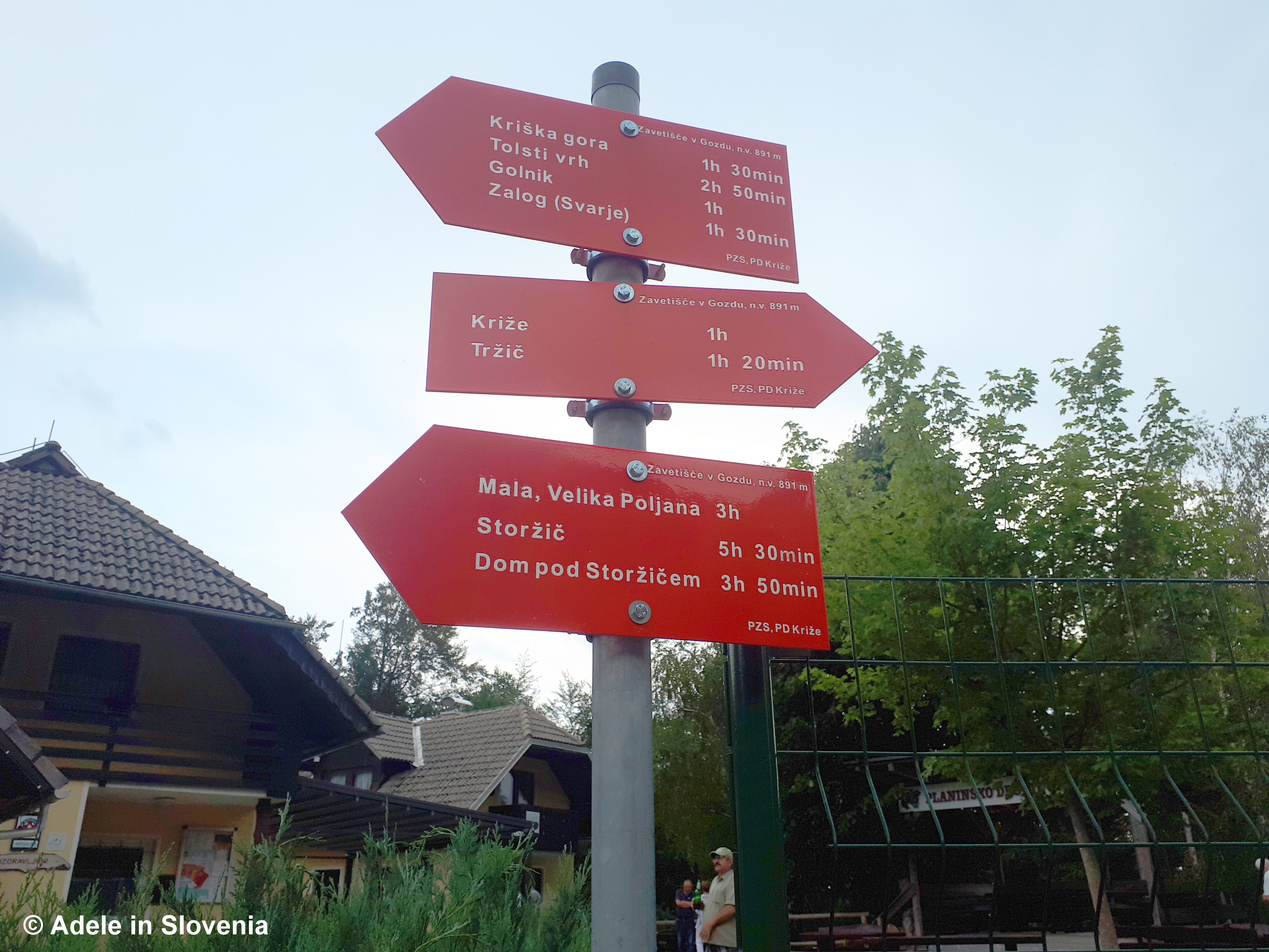
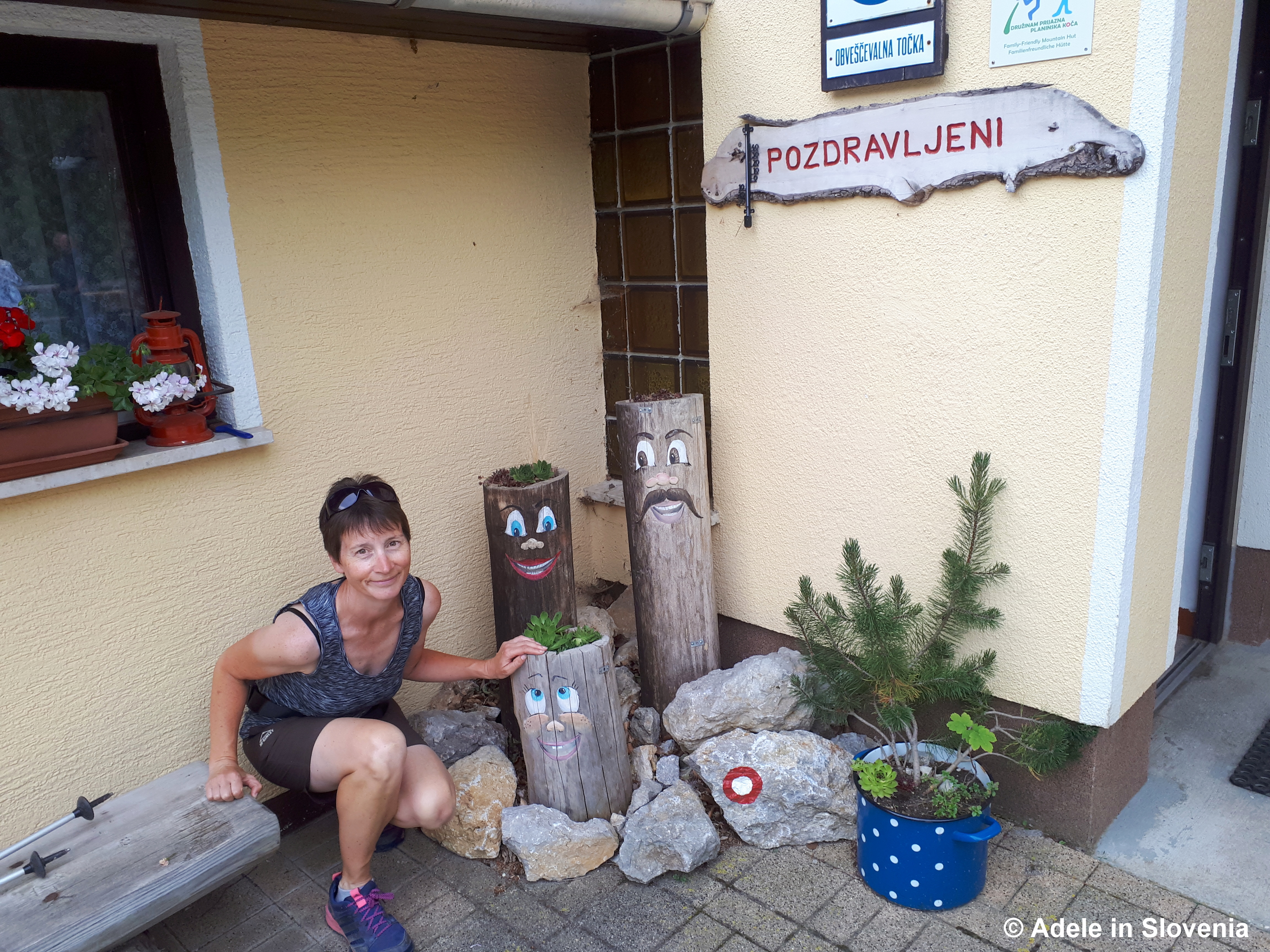
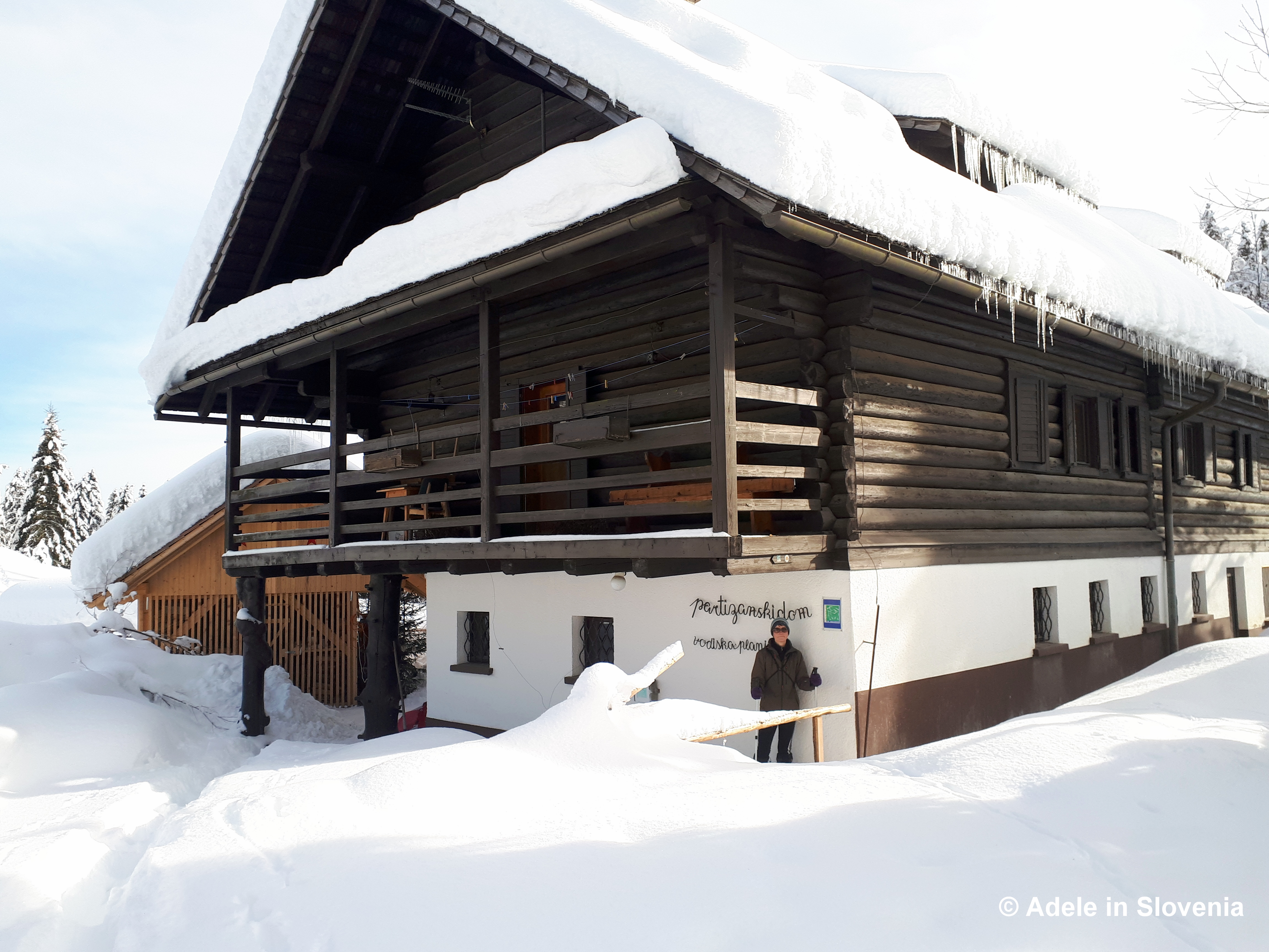
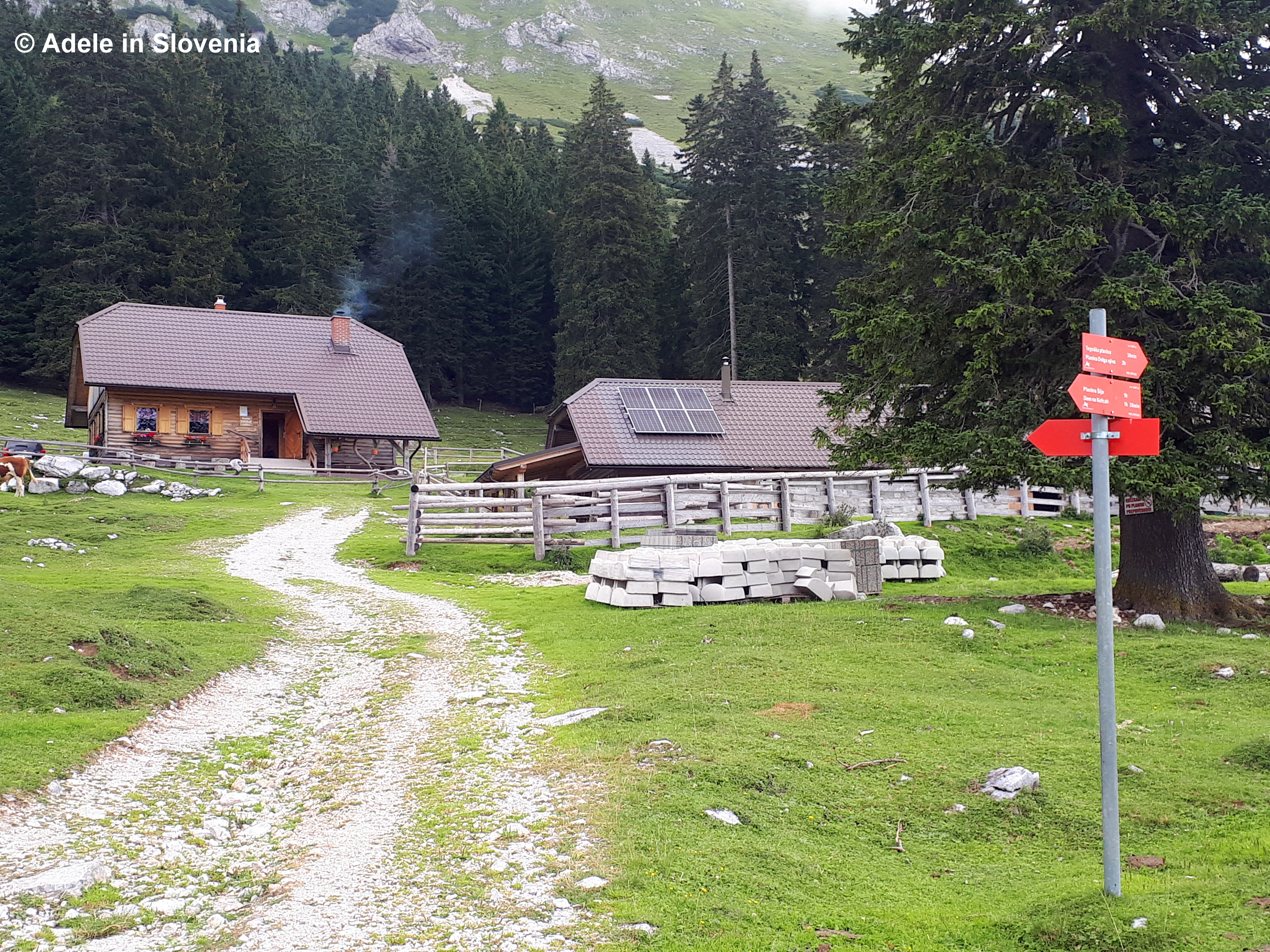
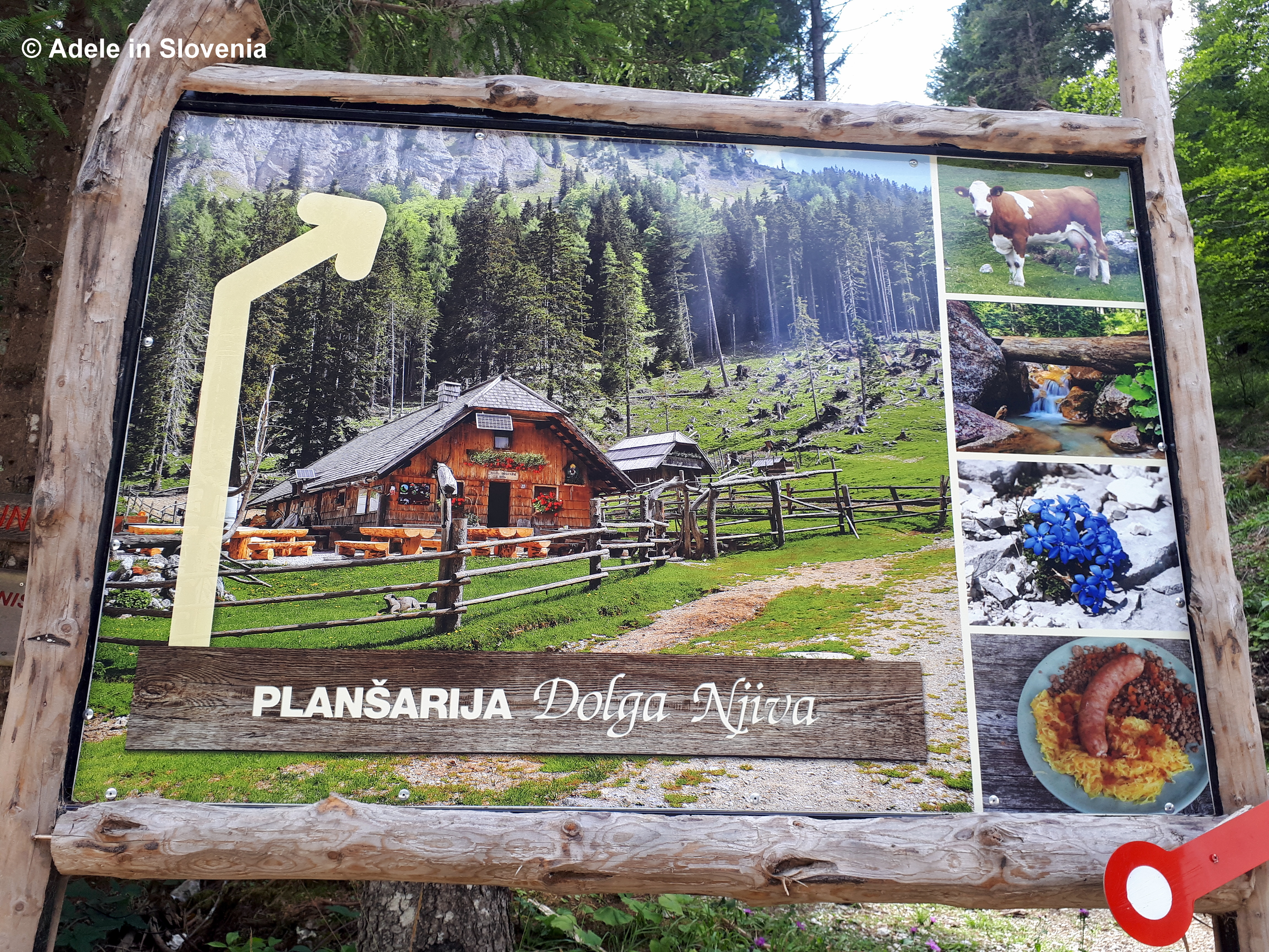
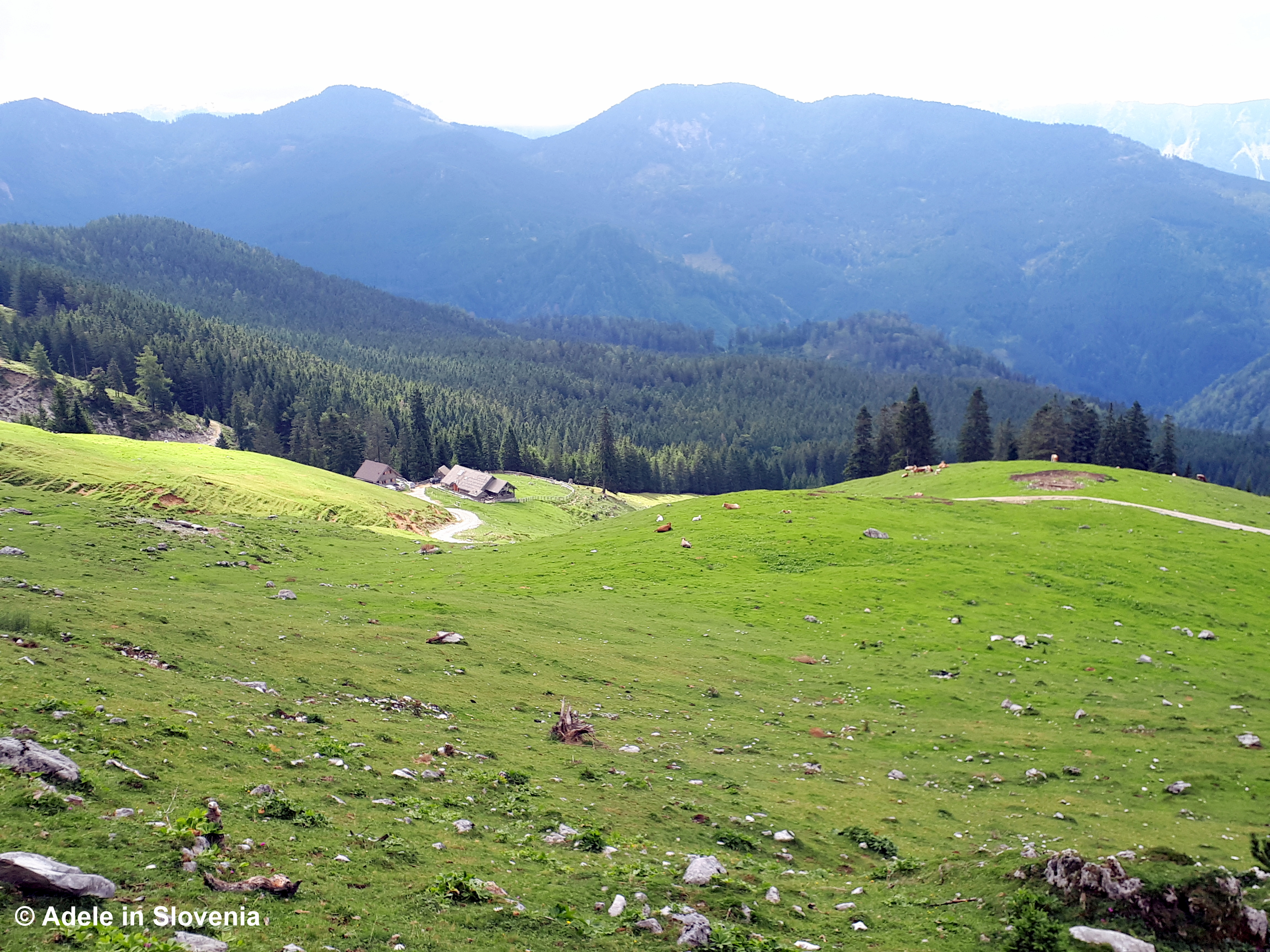
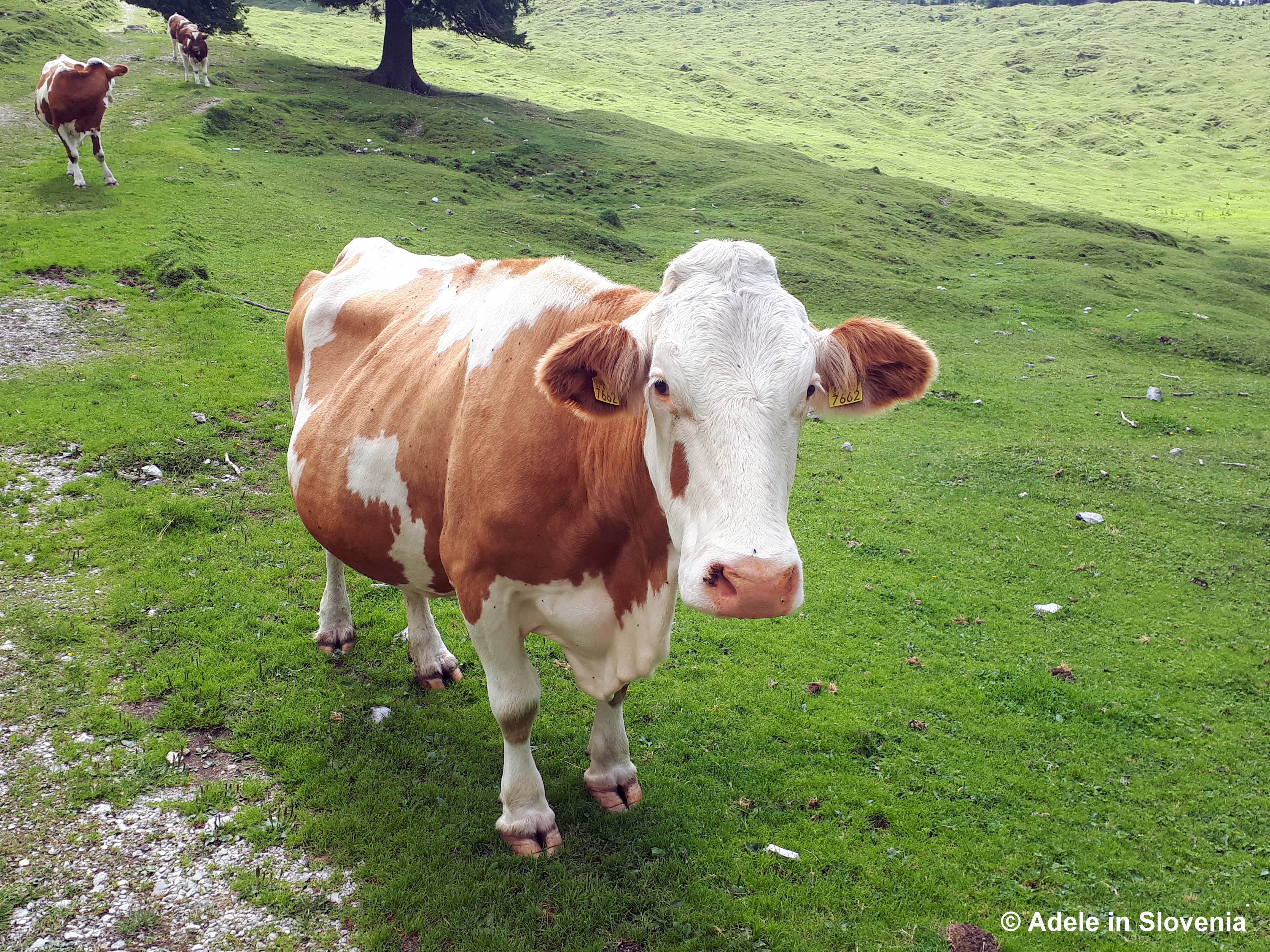
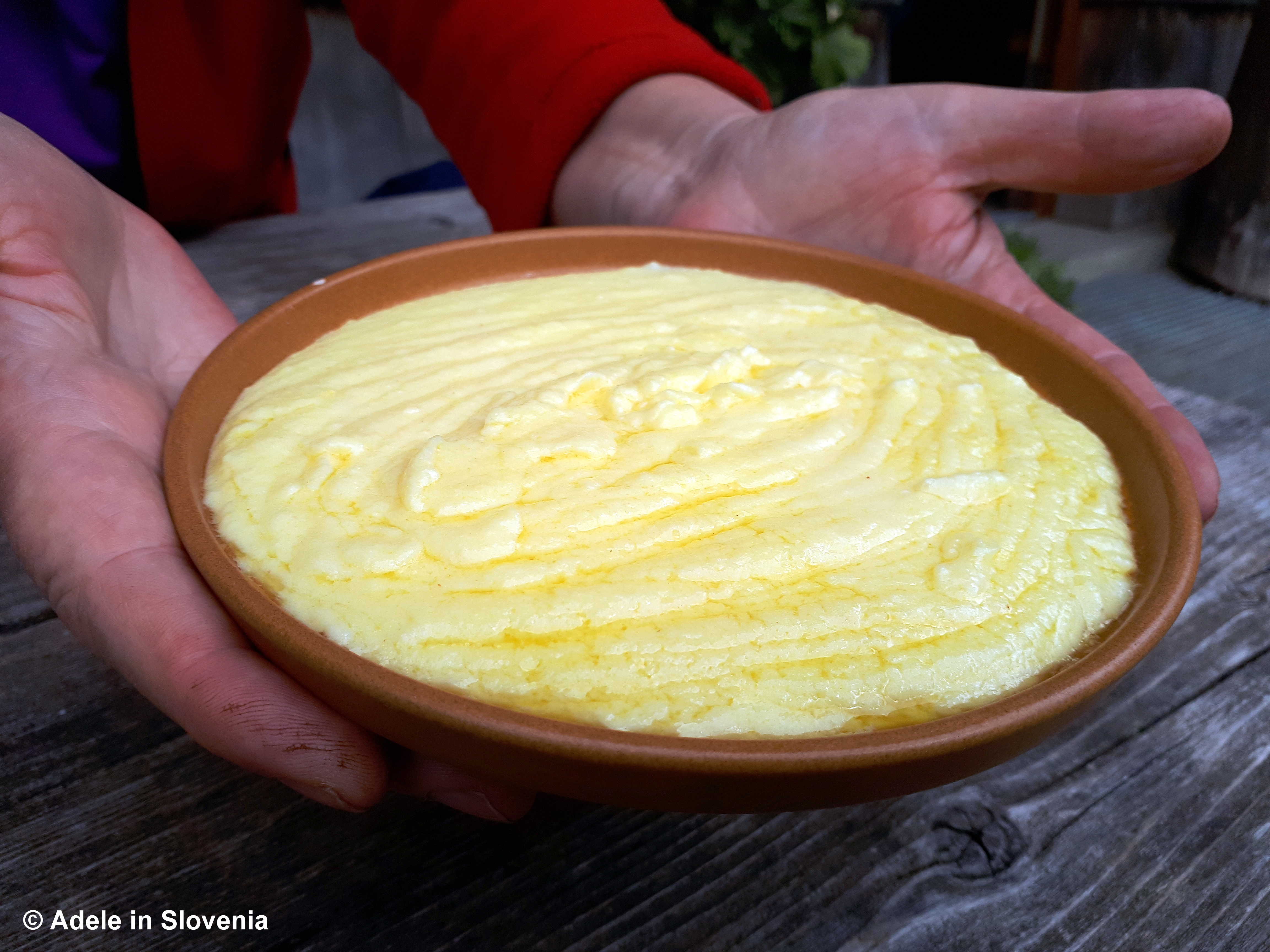
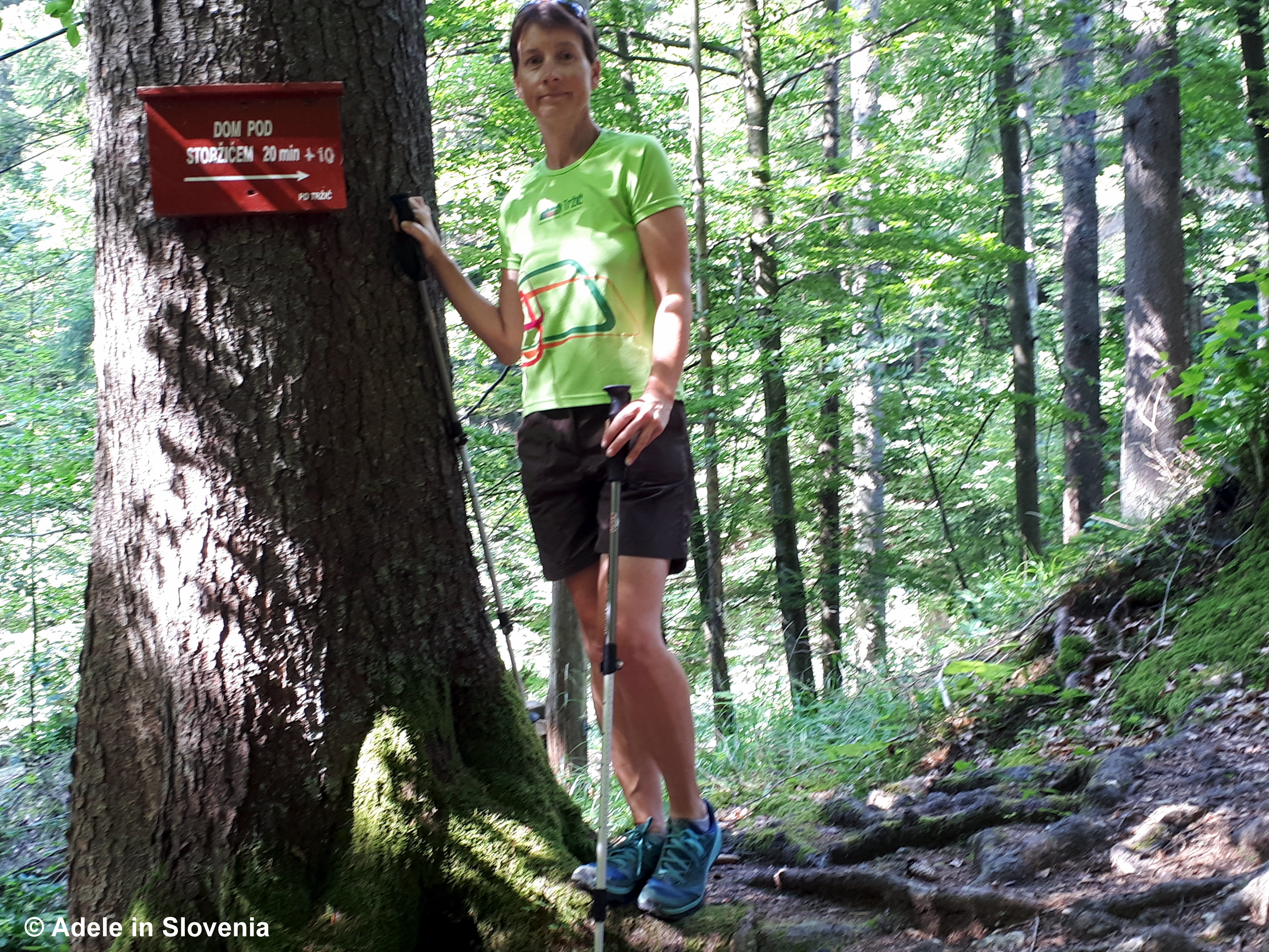
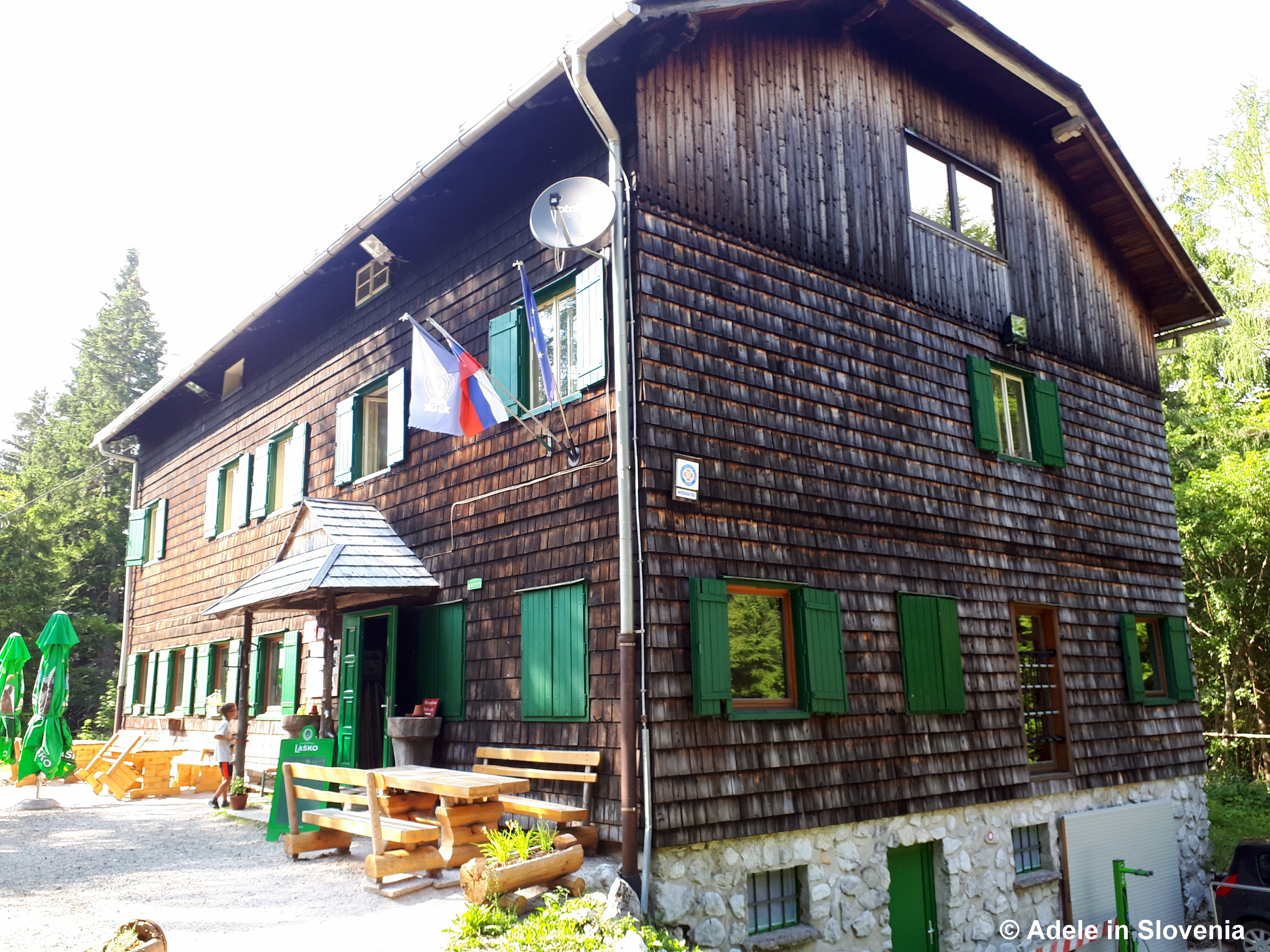
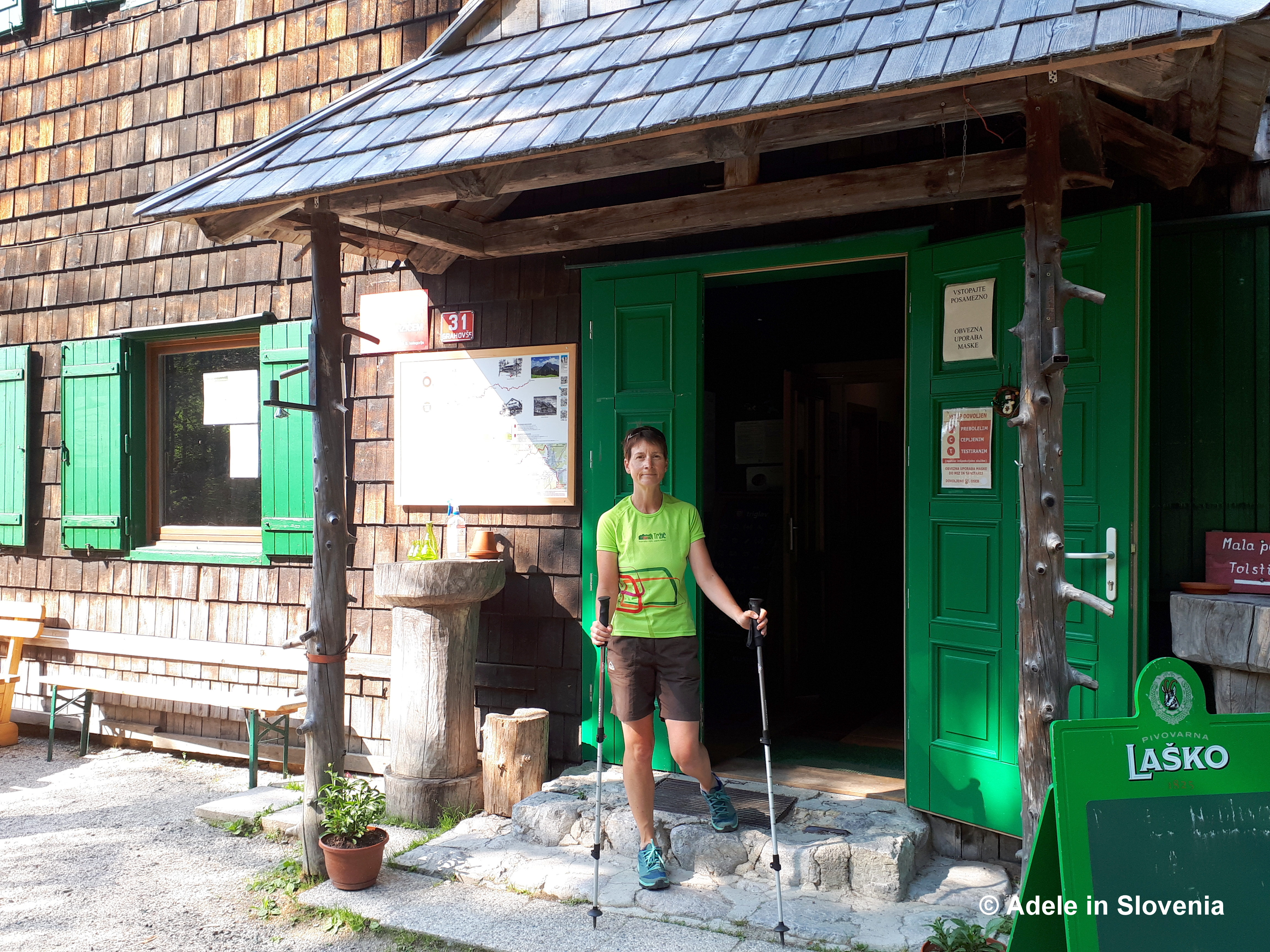
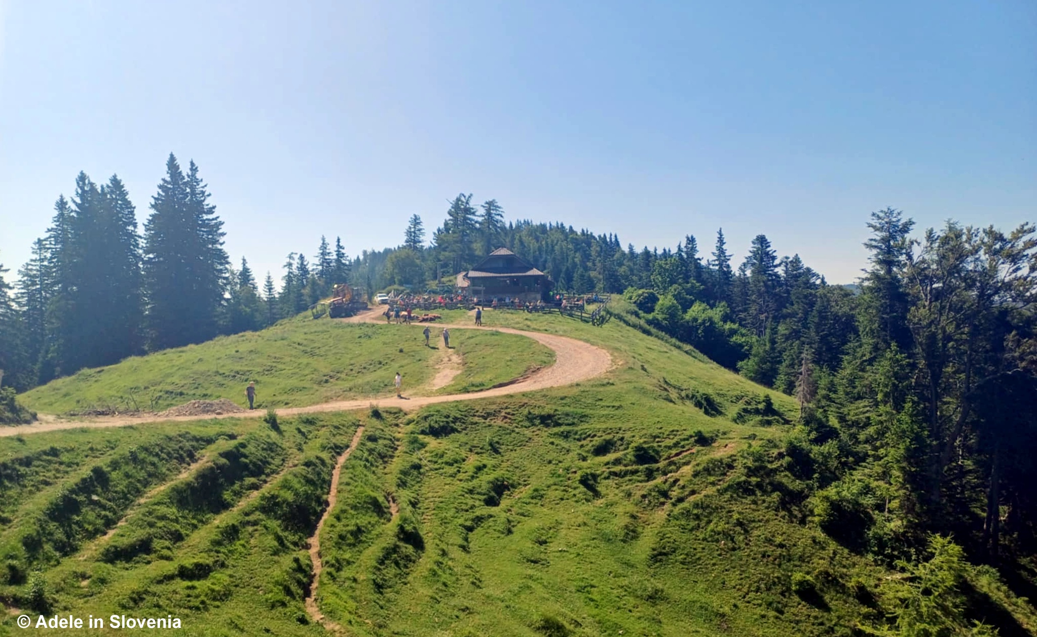
After about an hour and 15 minutes of hiking, you emerge onto a mountain pasture, home to the Koča na Prevalu mountain hut, where you can quench your thirst and/or enjoy a hearty pasture-style meal. This is one of first of four mountain huts that you pass on this trail – note: the huts are open daily during summer, but out of season some are closed whilst others open at weekends only. You can find out here what’s available to eat on Radovljica’s mountain pastures.

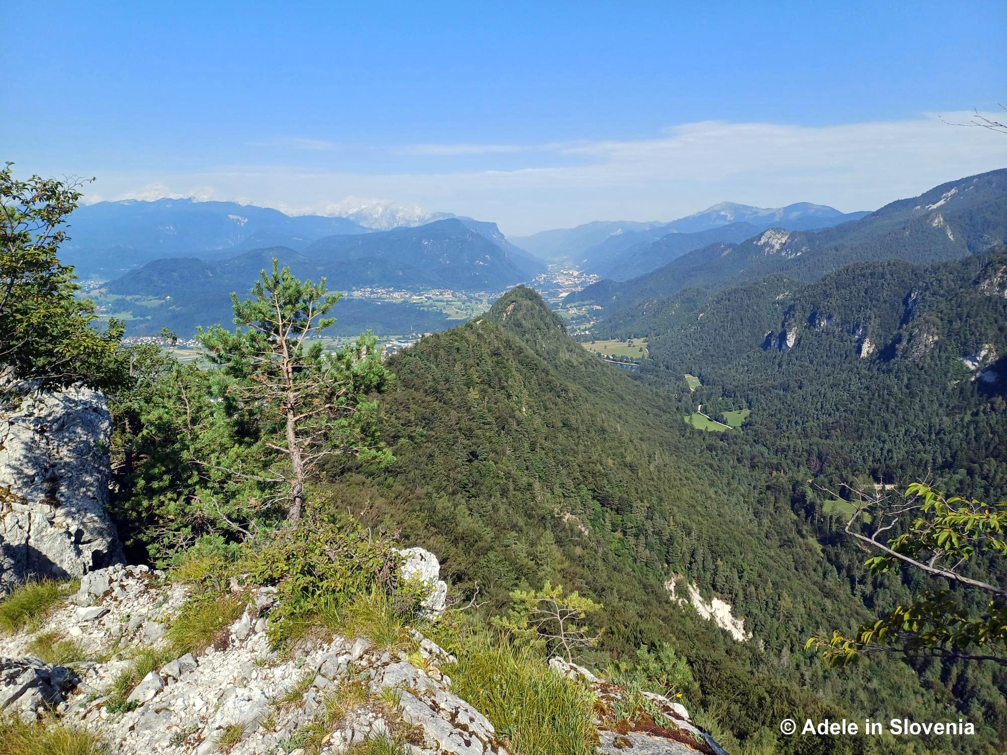
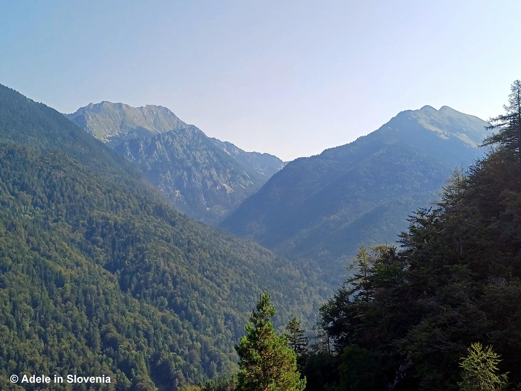
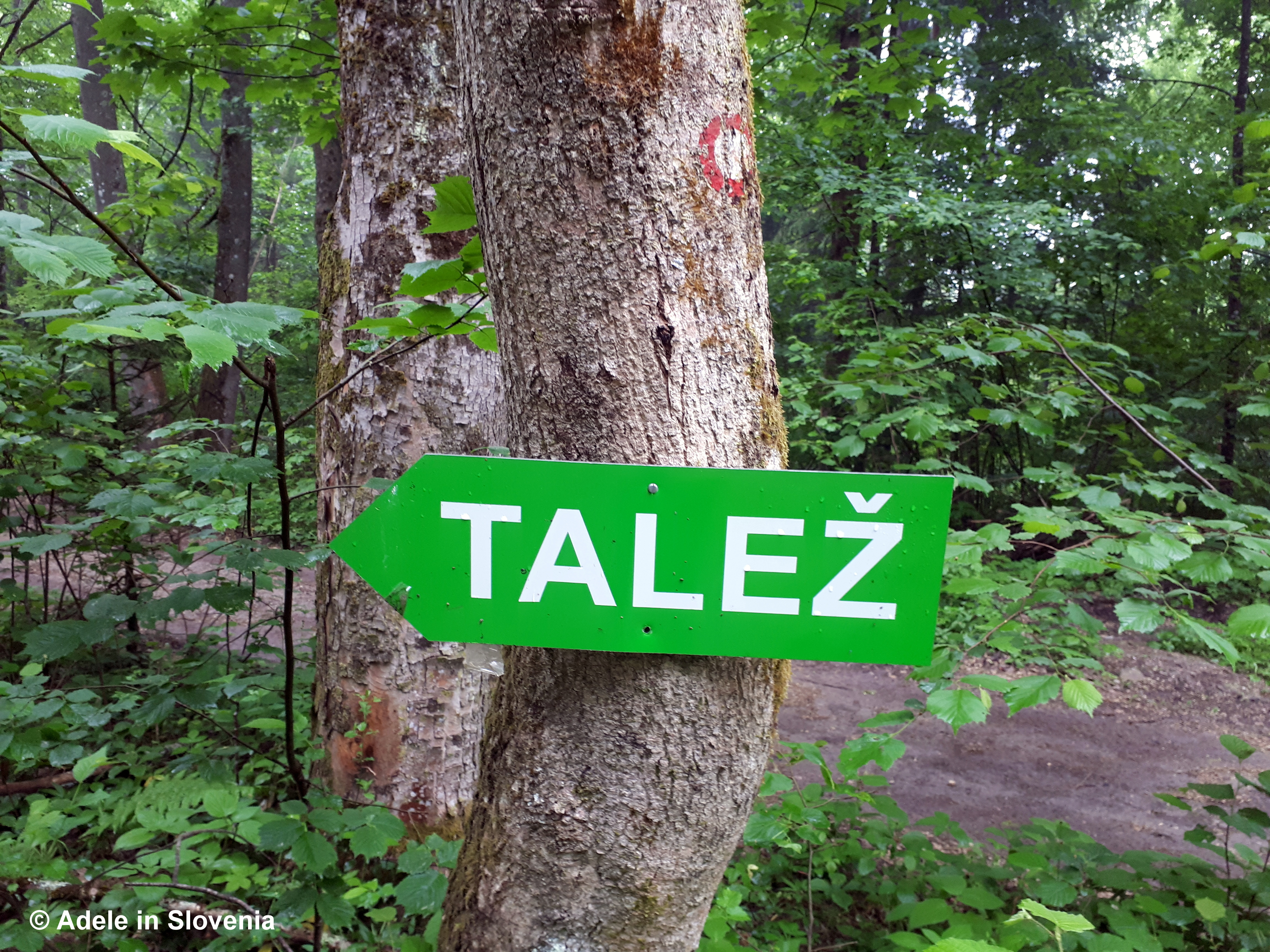
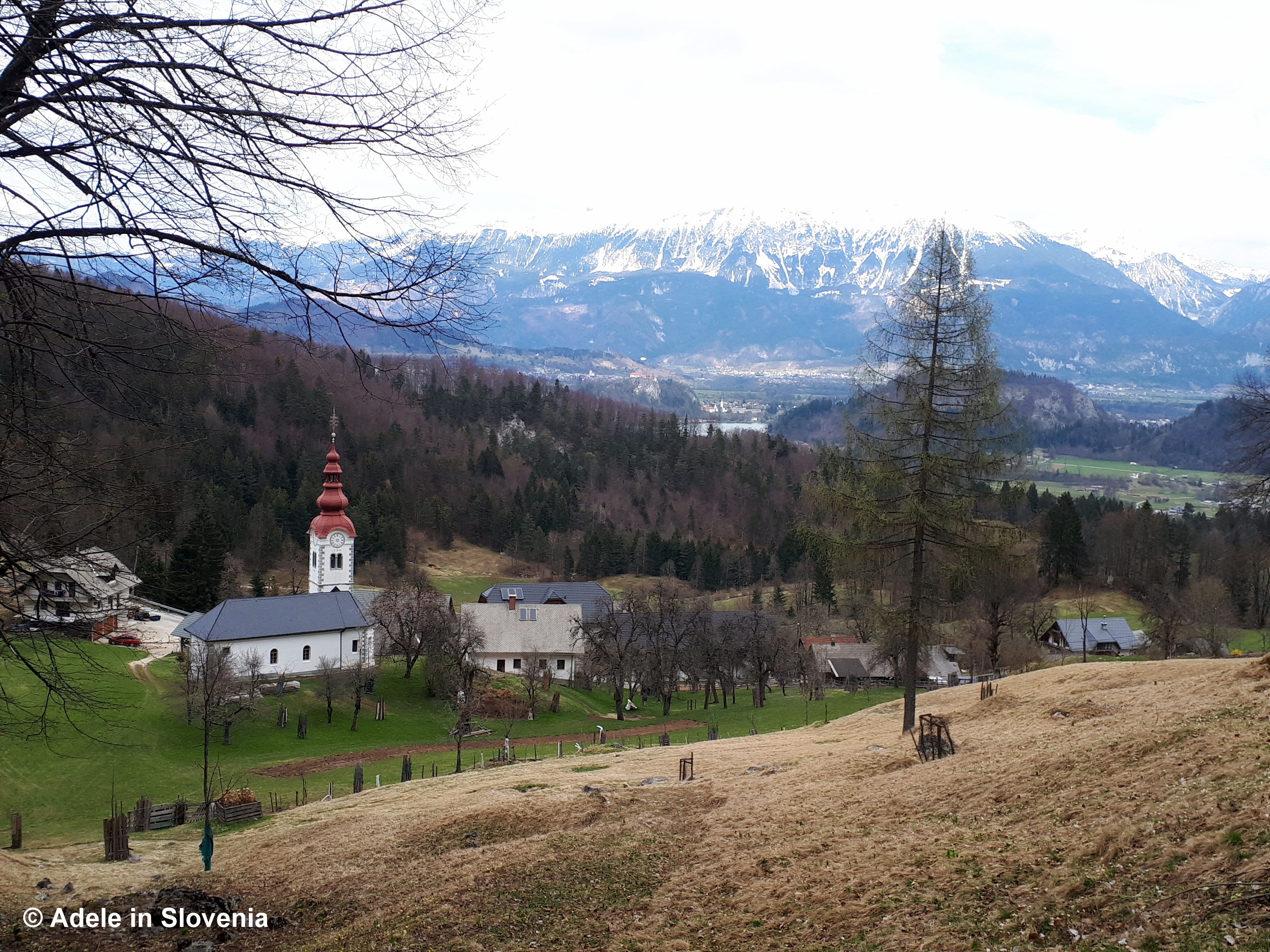
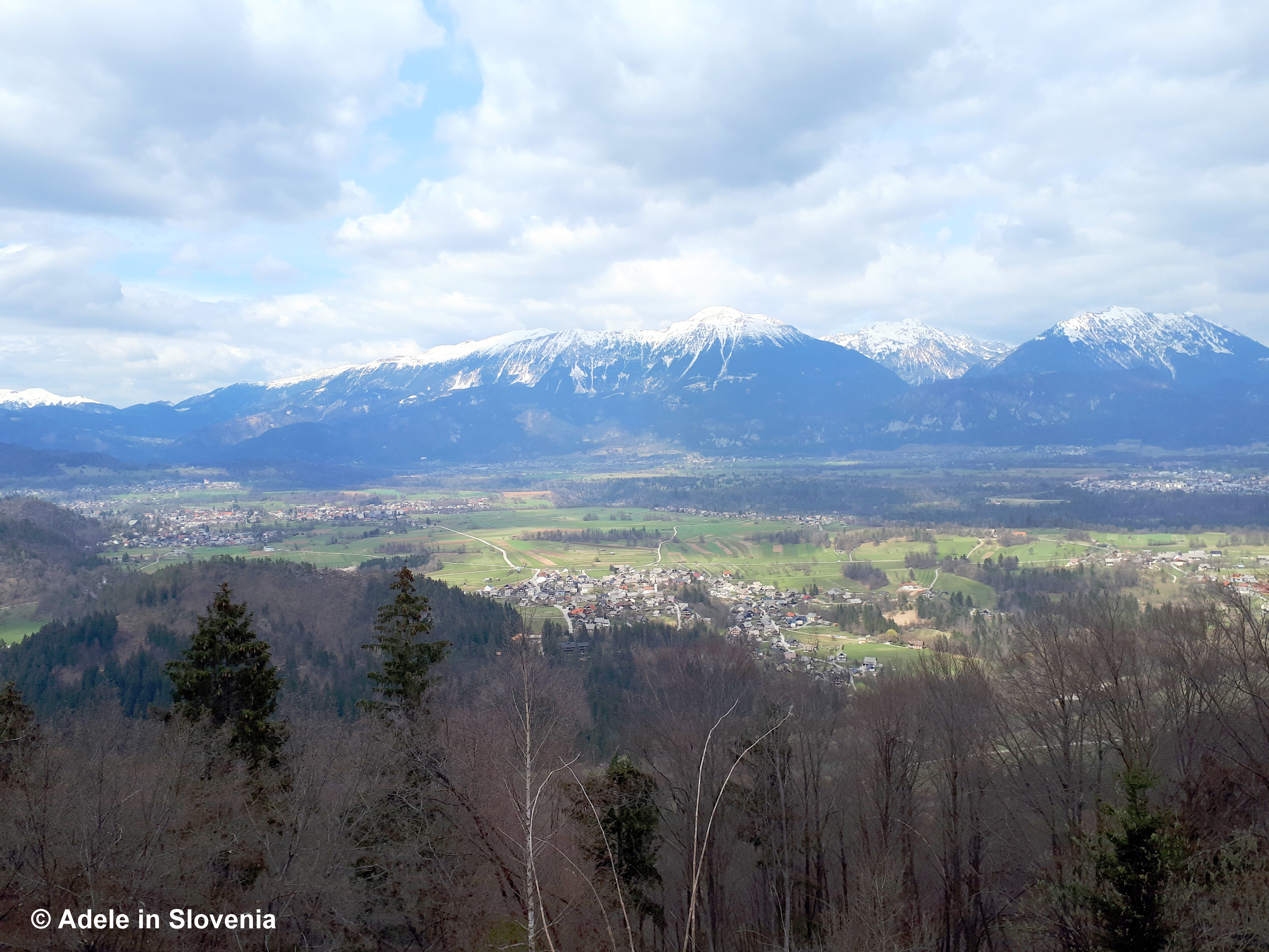
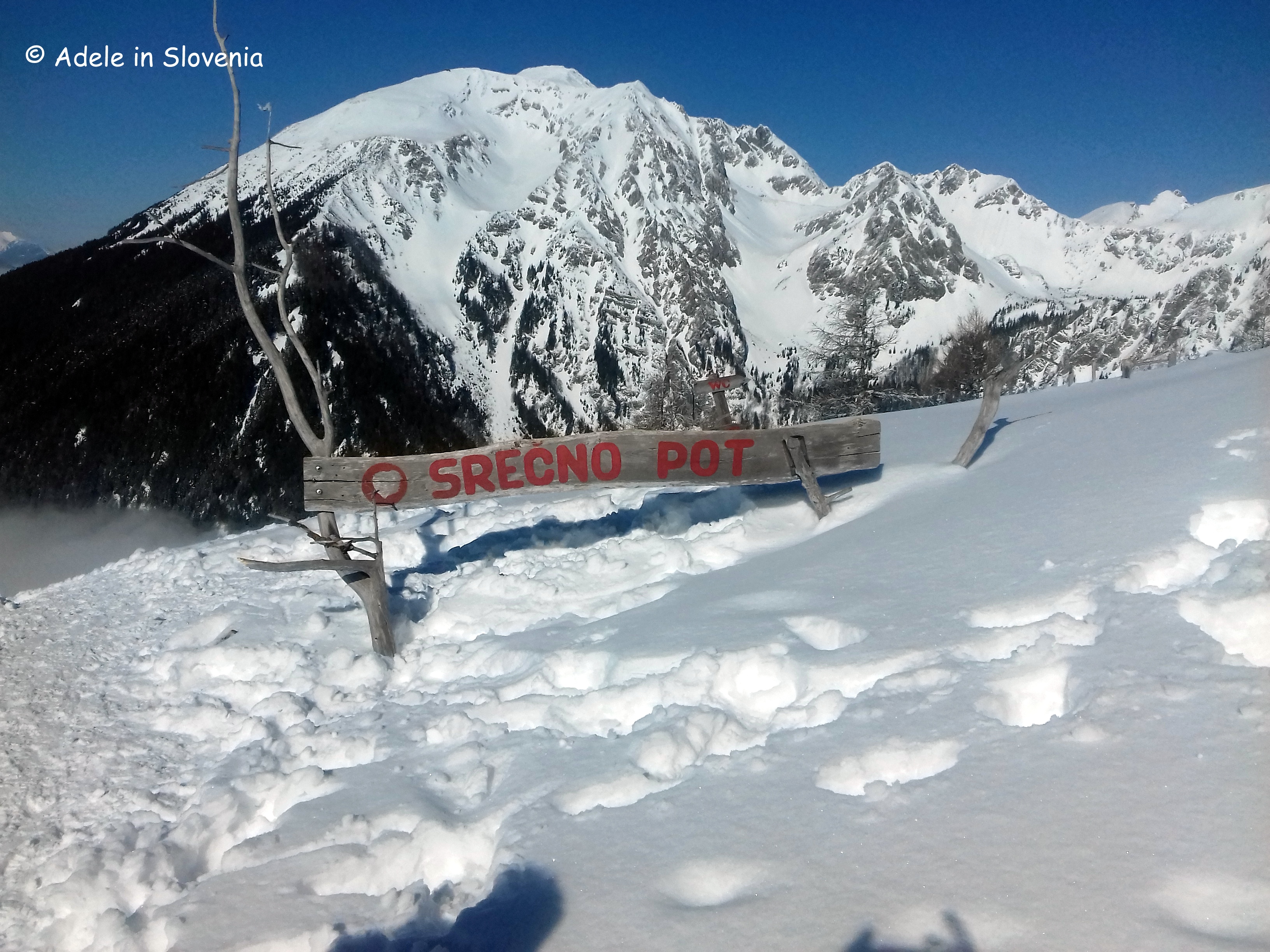
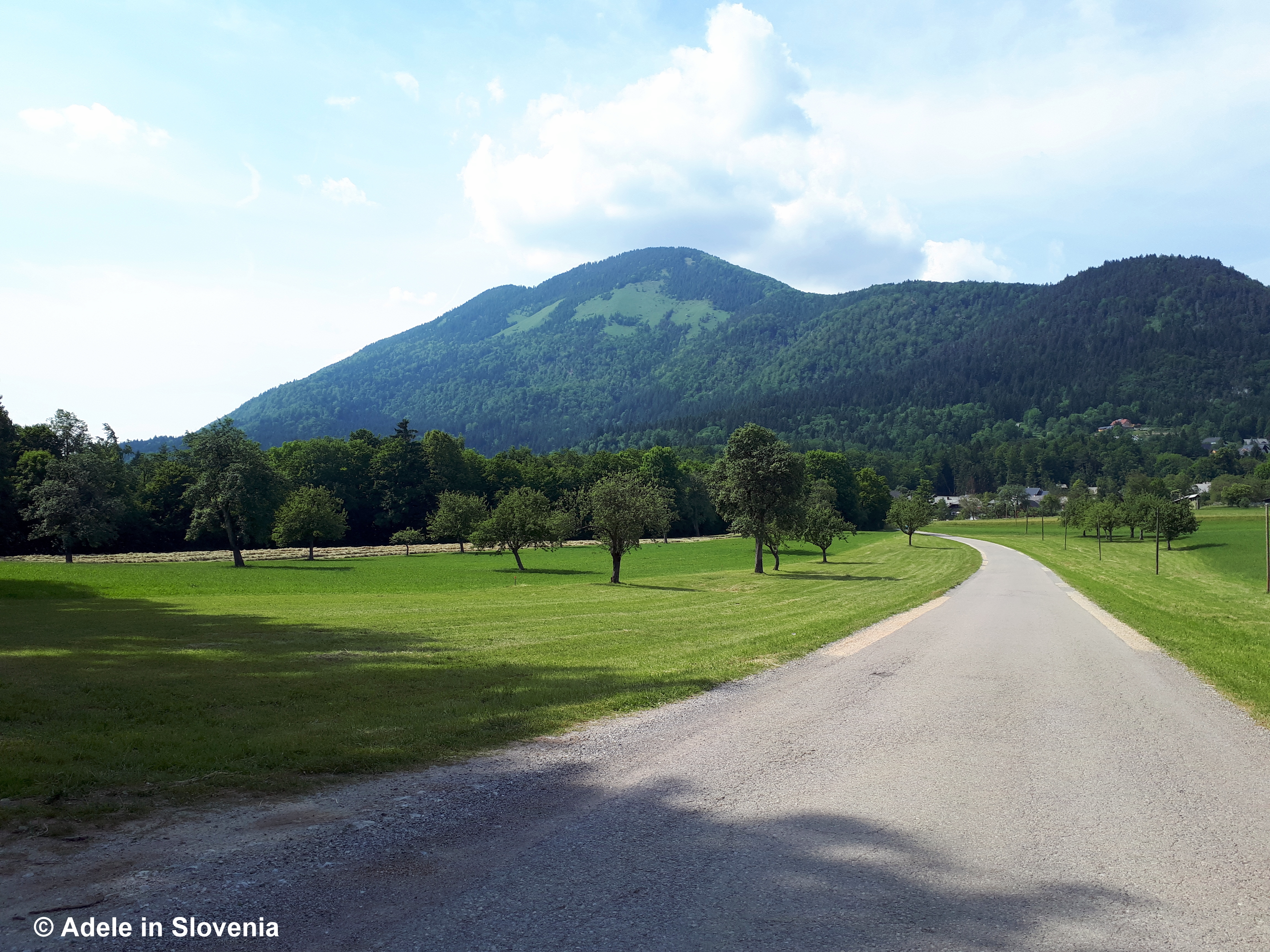
Now follow the forest road to the left for about 10 minutes, then take the path branches off to the right and begins to climb up again on the path marked as ‘čez Roža’. You are soon rewarded with wonderful views of the Radovljica Plains, the Jelovica plateauLake Bled, and the Julian Alps with Triglav National Park.

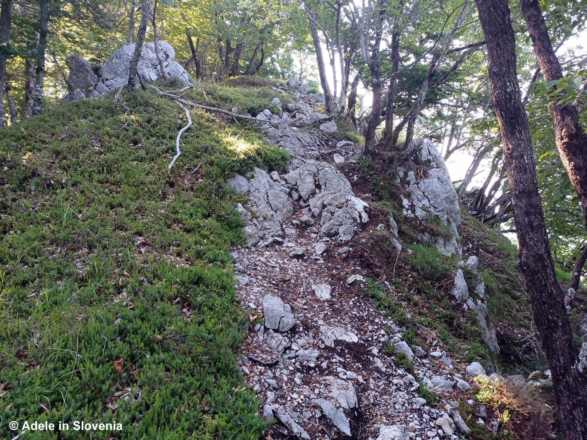
The scenic path is level in places, with a few ups and downs and a few gullies to cross. Shortly before the end of the čez Roža trail, you reach an abandoned manganese mine shaft with an information board, which, at the time of writing (July 2025), was looking at bit worse for wear.

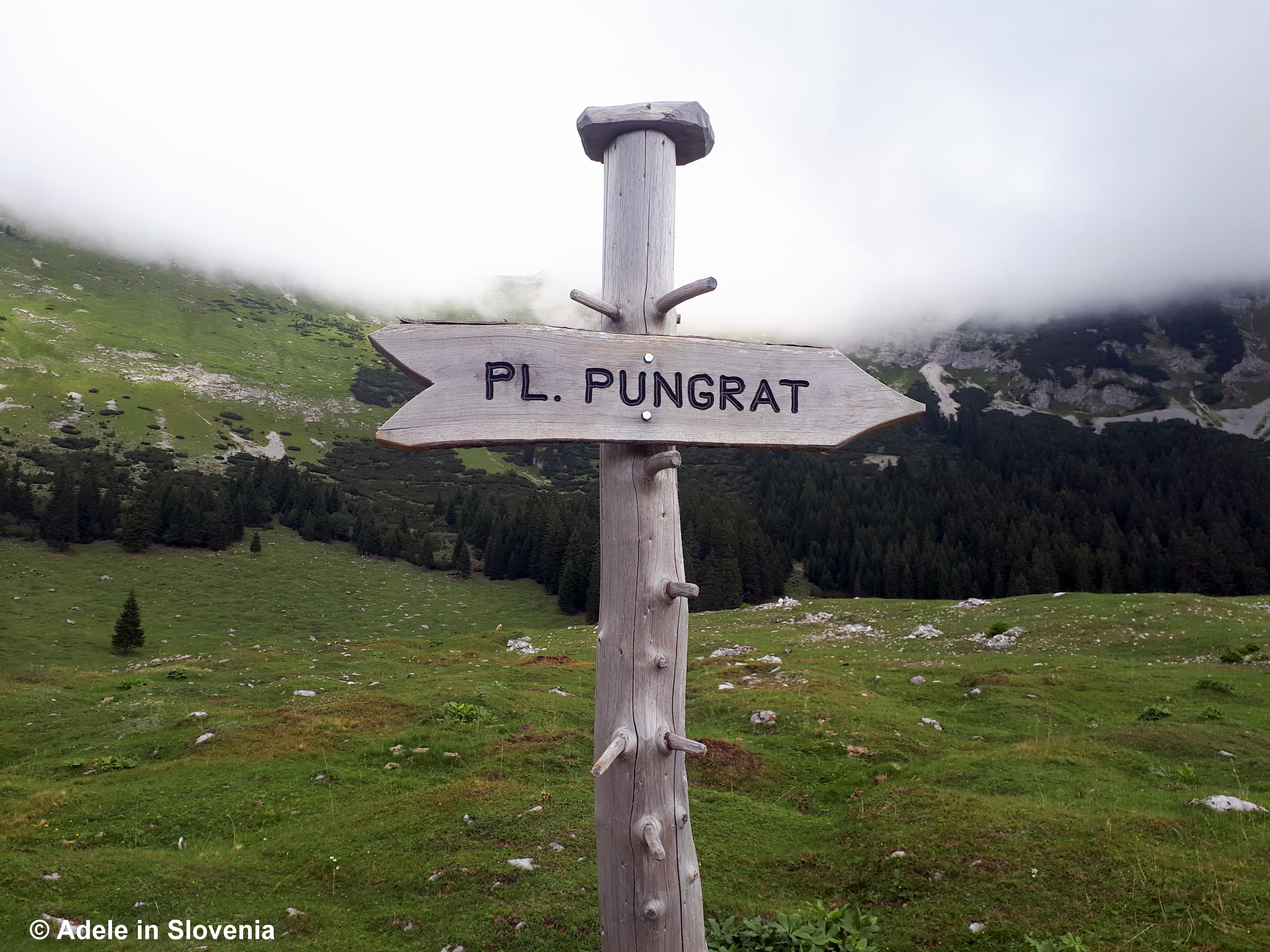
Just a few minutes after passing the mine shaft, the trail joins the main trail that leads from the valley up to the Roblekov dom mountain hut and on to Mt. Begunščica or you could follow the trail back down to the valley, thus completing the circular route.

I’d like to end this blog by saying a big ‘Thank you’ to all those of you who read my last blog and sent such lovely messages of congratulations.

Until next time…

© Adele in Slovenia


A Radol’ca Ridge Hike

When the heat is on, as it is now in much of Europe, morning hikes in the forest are a perfect way to start the day before it gets too hot.

The hike I’ve described below is partly in the forest and partly along a ridge, and in places requires a bit of scrambling, but the views are so wonderful it makes the effort worthwhile.

I started by cycling from Radovljica, then started my hike in Begunje na Gorenjskem, where I left my bike outside the Tourist Information Centre.

I then hiked up to St. Peter’s Church and onwards to the Sankaška koča mountain hut and further to the Smokuški vrh viewpoint.

From the viewpoint I carried on along the ridge in a westerly direction.

Initially, the trail is easy to follow through the forest, but in places along the ridge it is quite rocky and a couple of times I found myself wondering if I’d reached the end of the trail as it seemed to disappear, but after scrambling past a few rocks the trail continued.

There are views all around – towards the Jelovica plateau, Bled and the Julian Alps to the south…

…towards Mt. Stol and the Završnica valley to the north…

…and towards Jesenice and the Upper Sava Valley to the west.

If you’d like to make it a circular route – regular readers will know I’m obsessed with circular trails! – then continue until you descend to the point see in the photo below.

At this point you could opt to turn right to reach Titova vas (Tito’s Village), more about that here.

Alternatively, turn left and follow the trail back towards the Sankaška koča mountain hut, following the occasional sign for the Juliana long-distance hiking trail.

Follow the trail uphill and, shortly before returning to the hut, you will see the following sign, where you turn right.

Hiking poles and appropriate hiking shoes or lightweight hiking boots are required for this hike.

Click here for more information about hiking in the Radol’ca area.

© Adele in Slovenia

Reading in Radovljica: Dormice, Moonshine and More!

When I first moved to Slovenia I was eager and curious to learn more about the country’s history, people, culture, customs and more. At that time, however, books on Slovenia were very few and far between, almost non-existent, other than lengthy, history-heavy books that (almost) require a degree in ‘Slovenology‘ to understand.

Since then, a book titled ‘Slovenology‘, written by an American living in Slovenia, has actually been written, and I enjoyed reading Erica Debeljak’s self-penned memoir Forbidden Bread, but thereafter the list of what I deem ‘readable’ books on Slovenia dried up. That is, until now!

I was therefore delighted to discover a new book about Slovenia, written by a fellow Brit, Sam Baldwin, titled Dormice and Moonshine. I was even more delighted when Sam got in touch with me recently and we sat down together in Radovljica for a chat about what attracted us to Slovenia and life as an expat here.

When not working or hiking-cycling in summer, I like to find time to read, preferably outdoors. There are numerous viewpoints with benches in and around the old town centre of Radovljica, which are ideal for relaxing, soaking up the views and reading. In the heat of summer, there’s nowhere better than the tree-lined avenue in Radovljica’s park.

Arboristična nega dreves v grajskem parku - radovljica.si

For the ultimate view, head to the viewpoint at the end of historic Linhart Square, from where there are wonderful views of the Jelovica plateau, the Lipnica valley and further towards the Julian Alps with Mt. Triglav at the helm.

Another of my favourite viewpoints is located in the public car park between Gostilna Kunstelj and the old town centre.

Now, back to the topic of Dormice and Moonshine! I read the first few chapters in one sitting and can honestly say it’s by far my favourite book on Slovenia, not least because, like me, Sam fell in love with the country mainly due to its wonderful nature and various peculiarities, of which dormice and moonshine are among them! The tale of how he and his brother discovered Slovenia and how they ended up buying a sausage-curing hut, and what followed, is thoroughly entertaining. His encounters with ‘Mr. North’ and the ‘Wine Cowboy’ had me giggling out loud and are a ‘must read’! The only other book(s) that have had that effect on me are by Bill Bryson. So, if, like me, you are a Bryson fan, it’s safe to say you’ll enjoy Dormice and Moonshine.

Why the title Dormice and Moonshine? Well, that would be giving too much away, so you’ll have to order a copy and read it for yourself to find out!

With summer in full swing, and 30 degrees temperatures to boot, here are some additional ideas for how and where to keep cool in the heat!

It’s always cooler atop a mountain, well, other than when there is an inversion during winter. So, hiking, particularly in forested areas, is a great way to escape the worst of the heat. But do take clothing with you for all four seasons, as it’s not unheard of to need hats and gloves in the mountains, even in mid-summer, as the temperature and conditions can change very quickly.

Or set off on one of the many theme trails in and around the Radovlijca area, such as the Grabnarca Waterside Nature Trail.

Radovljica’s renovated Olympic swimming pool, which is open-air during summer, as well as the Kropa swimming pool are particularly popular with children at this time of year.

Letni bazen Radovljica

In nearby Tržič, you can descend into the Dovžan gorge, where you follow the course of the Tržiška Bistrica stream for a short distance, and can take the chance to cool off in the refreshing (read: freezing!) water!

But I must end with a word of caution. This year there have (already) been a record amount of rescues in Slovenia’s mountains, many of which have involved tourists who are very poorly equipped and/or have underestimated the mountains or overestimated their abilities. Please don’t be one of them! All the mountain rescuers here are volunteers. Do your homework before setting off. Check the forecast. If you are going on a long hike, or a multi-day hike, be sure to take clothing for all four seasons, as the weather can change very quickly. BE PREPARED!

© Adele Gray

Hour Away – Who, What, Where and Why!

As regular readers of my blog will know, to date I haven’t allowed any of the ghastly pop-up ads to appear, even though they could be a potential source of income. Why? Because I hate them! They distract from the content and often lead to me immediately closing a website or blog, as I lose the will to live due to having to keep clicking various content to delete it in order to actual reach the important stuff.

You will be pleased to know that this hasn’t, and won’t, change. However, sometimes in life you meet someone whose story and philosophy matches so well with your own that you make an exception, of kinds! And that became the case when I met Nejc Peternelj, the owner of Hour Away, for a good old chinwag over a good old cuppa!

From now on you will see the Hour Away logo on my blog, but, I promise, no ads! Click on the logo to the right of this post ——> to discover the ‘who’ and the ‘what’ and read on to discover the ‘why’!

For a start, I love the company name. Why did he chose it? Simply because in Slovenia, nothing is more than an hour away! From the capital, Ljubljana, you can be swimming at the coast or hiking in the mountains within an hour, such is the beauty of a small country.

Secondly, Nejc shares my passion for Slovenia’s countryside, hills and mountains, particularly those that are less frequented by others. Why stand in a queue to reach the top of Mt. Triglav (as I did for an hour just 15 minutes from the summit on my first ascent!) when there are SO many other magnificent summits to reach, hills to climb and places to cycle.

Thirdly, his guided and self-guided hiking and cycling tours ensure you will see, taste and experience the REAL Slovenia, not just the places that large tourist agencies include in their itineraries. For example, the self-guided Ljubljana to Lake Bled on Hidden Hills Trail, which ensures you see and experience two of Slovenia’s main attractions and many of the hidden parts in between that the majority of tourists don’t see.

And finally, he’s a genuinely nice guy, and you can’t say that about everyone these days, who is passionate about what he does. Hence we hit it off straight away, sharing stories of our favourite hidden corners of Slovenia’s countryside, hills and mountains.

Nejc spends the winter running his own ski school in Davos, Switzerland, then returns to his beloved Slovenia to guide small group biking and hiking tours in summer. Click here to find out more about the Hour Away team.

So, I hope this insider tip will be of use, dear readers, consider it my Christmas gift to you!

Until next time, I wish you all a very Merry Christmas and a Happy New Year.

© Adele in Slovenia


Tržič – A Walk Through the Forest to the Forest!

Why ‘Through the Forest to the Forest’ you might ask? The answer is that this Tržič walk goes ‘through’ the forest to the village of Gozd – the Slovenian word for ‘forest’!

This family-friendly walk to the Zavetišče v Gozdu shelter can be a walk in itself or part of a longer hike to the ever-popular Koča na Kriški gori mountain hut and/or one of the other numerous trails in the same area.

The walk begins in the Pristava area of Tržič, where there is a small parking area almost directly opposite the start point.

The trail to Gozd takes just over an hour and is well marked throughout with signs and the usual red and white circular trail markers.

It is particularly pleasant at this time of year in the summer heat as it runs almost entirely through the shady forest (or as was the case for us yesterday, the forest also provides shelter when it begins to rain!).

After about half an hour you emerge onto the road, where you are greeted on the opposite side by a dazzling array of signs!

Follow the signed trail to the left, which, after around 20 minutes emerges at the forest shelter, where you can enjoy a rest, a drink and some sustenance before either returning the same way or heading onwards and upwards!

PHoto: PD Križe

There’s a small climbing wall and play area for ‘kids’ too! Note: the shelter is usually open on Friday afternoons, Saturdays, Sundays and public holidays, or at other times upon prior arrangement.

Opposite the shelter is a shrine, which appears to be ‘keeping watch’ over the shelter and the hikers that pass by.

If you are looking for a more challenging hike, you are spoilt for choice with hiking trails in the area, the main ones being Kriška gora, Tolsti vrh and Storžic.

If, however, you don’t plan to walk any further, then why not just join in the crowd!

Click here for more information about other hiking trails and mountain huts in the Trzic area.

Enjoy your walk/hike, and, take my advice, make sure you have your waterproofs with you in your rucksack, because at the moment there seems to be a storm every afternoon and you don’t want to get caught out…like we did!

© Adele in Slovenia

All Trails Lead to Talež!

I could probably almost write an entire book about the various paths that lead to Talež – a vantage point on the Jelovica plateau with magnificent views over the Radovljica plains, Bled, the Karavanke mountains and towards the Kamnik-Savinja Alps. However, as I’m writing a blog rather than a book, below I’ve provided a brief overview of just some of the trails that lead up to Talež, so you can pick the one that suits you, depending on where you are starting/staying.

From Radovljica the most direct route leads down from the old town over the bridge above the railway line, down Cesta svobode road to reach the bridge across the Sava river at Lancovo. Cross the bridge then turn immediately right and after just cca. 100 metres take the left fork. Continue for cca. 150 metres to another fork, where you should continue straight ahead (not up to the left).

After passing a few houses on your left, you will enter the forest. Continue to the first green waymarker to Talež, where you should turn left, then at the next waymarker turn right. Thereafter, there aren’t any other visible waymarkers but the path is well trodden, and even if you lose your way, just keep heading in a roughly westerly direction until you reach the forest road, which you then follow, again in a westerly direction, towards the Koča na Taležu (Hunters’ Hut on Talež) mountain hut.

If you are staying at the Šobec campsite, you can cross the bridge over the Sava river from the rear of the camp then continue across the meadows to reach the bridge over the Sava river at Bodešče, from where you can follow the trail up to the Koča na Taležu mountain hut. Note: this trail is somewhat easier to follow and has a couple of waymarkers.

Iz Radovljice na Bled

If you’d like to do a longer, circular walk then you continue onwards from the hut to the highest point of the Talež ridgeTolsti vrh. There are several options, but my preferred one is to continue past the hut following the green signs for Tolsti vrh.

Alternatively, for an even longer, circular walk, you can first walk (or cycle/drive) alongside the Sava river all the way to Selo, where you cross the Sava river.

Then walk up through the forest to the village of Kupljenik, passing a couple of shrines on the way.

On reaching the village you are rewarded with the first of many great views!

From the village, initially follow the marked path to the Babji zob cave before branching off towards Talež.

As this walk is at lower altitudes, it’s also ideal for late-spring (or winter if there’s not much snow). These photos were taken in April, hence you can still see snow on the mountains in the distance.

You might meet a friend or two along the way!

Whichever route you choose, you will eventually end up at the Lovska koča na Taležu hut, where you can enjoy a refreshing drink, a cake and/or something more hearty, while soaking up the views over the Radovljica Plains and the Karavanke mountains (note: out of season the hut is usually only open at weekends, during summer it is open daily).

May be an image of ‎nature, mountain and ‎text that says "‎소충 ሞ0 שעי‎"‎‎

Click to find out more about the numerous theme trails and hiking trails in the Radol’ca area.

Happy hiking!

© Adele in Slovenia

Winter Hikes and Spikes in Radol’ca!

At last, I’ve found time to sit down and write my first blog of the year 2022! It’s been a funny old winter so far. First a lot of early snow in December, followed by a very cold spell, then an unseasonably mild spell, followed by rain, a bit more snow and now another really cold spell, albeit now at least with beautiful blue skies and sunshine.

Although I’ve never been a fan of the cold and snow, I’m also not one to sit indoors, regardless of the weather (and my ongoing health woes). So, here are a few ideas for winter hikes in the Radol’ca, oh, and read on to find out about the ‘spikes’ (as mentioned in the title) too!

One of our favourite hikes at this time of the year is to Smokuški vrh above the village of Begunje na Gorenjskem. Since we like doing circular routes and prefer to leave the car in the garage, when we have time we often set off on foot from Radovljica to Begunje (cca. 50 minutes), where we take the path that begins near the post office and leads steeply up to St. Peter’s church (cca. 30mins).

From the church, we carry on up to Smokuški vrh on the ridge, which is a great vantage point.

We then walk along the ridge, with stunning views of the Julian Alps and Slovenia’s highest mountain – Triglav – before descending towards the village of Rodine and back through Hraše and Lesce to Radovljica.

Now onto the ‘spikes’ I mentioned above…As also mentioned above, it’s been a mixed bag this winter, which means that although some places at lower altitudes are now almost snow-free (up to around 800metres above sea-level), in the forest, particularly in areas that don’t get any/much sun and paths that are well used, the paths are really icy in places, hence ‘spikes’ i.e. mini crampons, are a ‘must’ in my rucksack wherever I go.

So, if you are planning any hikes in winter, I’d advise you bring (or buy while you are here) a pair of these mini crampons – you can pick them up for around €30, they are very lightweight and quick and easy to put on. Note, however, that these crampons are NOT suitable for more strenuous and higher mountain tours, for which semi-automatic crampons are a must at this time of the year.

And what’s more, the ones I’m ‘modelling’ below, are even made here in the municipality of Radovljica – at the Veriga factory in Lesce, where you can buy them direct of pick them up in sports shops.

My other favourite places to hike in the Radovljica area in winter include the Goška ravan mountain pasture and hut on the Jelovica plateau

The Roblekov dom mountain hut, above the Draga valley on the slopes of Mt. Begunščica

And the Vodiška planina mountain pasture and Partisanski dom mountain hut above Kropa.

You can find out about all these hikes and more about winter in Radovljica, visit the Visit Radol’ca website. Happy and, of course, safe hiking!

© Adele in Slovenia


Pastures Galore Beneath Košuta – Slovenia’s Longest Mountain

I believe that every visitor to Slovenia who wants to get a real sense of the country, rather than just visiting the usual tourist attractions, should visit at least one of the numerous mountain pastures, where you can enjoy some simple, hearty, homemade food, enjoy the peace and views, and soak up the atmosphere of pasture life.

And there’s no better place to do so than on the mountain pastures beneath Košuta – Slovenia’s longest mountain – above Tržič, particularly as they are easily accessible even for those who don’t enjoy, or are unable to take part in, long hikes. The options are almost limitless; you can opt to go on a full day walk from the valley, or drive part of the way for easier access, you can just walk from pasture to pasture, or you can tackle one of the peaks along the length of Košuta, or even stay the night so you can see and do even more!

Having previously blogged about our overnight stay at the Scouts’ Hut on the Šija mountain pasture and hike to Kladivo, this time we picked up the walk where we left off – at the Pungrat mountain pasture – from where we walked to the Dolga njiva alpine dairy farm.

Since we wanted to do a partly circular walk, we started at the Zali potok hidroelectric station and took the unmarked path. However, it is a little difficult to find the trail in a few places, so for first timers and those wanting a longer walk, I would recommend instead starting your walk from Medvodje, which is reached by driving through Tržič then past the Dovžan gorge (it’s well worth stopping for a walk through the gorge) to Jelendol and onwards on the forest road.

Alternatively, you can drive, or even cycle, further up the mountain road and park just 20 minutes from the Dolga njiva alpine dairy farm, which is a particularly favourable option for families with young children, and/or those wanting to hike further and higher.

It was one of those summer days that was forecast to be sunny, but the clouds were very persistent and didn’t lift until well into late afternoon, but the scenery, and the four-legged friends, made up for the lack of sun.

On reaching Dolga njiva, you can try some really typical mountain food, such as masovnik – a hearty mixture of flour and sour cream. Unfortunately I wasn’t able to try it (coeliac disease and wheat flour = a big NO!), so I asked one of the hikers if I could take a photo of her food before she tucked in!

Buckwheat topped with pork crackling is another popular dish, often served with sour milk.

May be an image of food and indoor

Kids will love the mini farm with its curious cows, snoring pigs, donkeys, turkeys and geese.

You can then set off for a circular walk on the Eagle Trail (Orlov pot), where you can see golden eagle nesting sites, the source of the Košutnik stream, and the flora and fauna of the area, while opposite the dairy farm you can see a chest used by allies to drop supplies to the pasture in World War II in the occupied area of the German Reich.

Dolga njiva is also an excellent starting point for hikes onwards to other mountain pastures or upwards to reach the highest point of the municipality of Tržič – Košutnikov turn.

If you want to stay longer you can stay over and sleep in a hay loft then next morning, after a hearty breakfast, head off to explore more of the pastures beneath Slovenia’s longest mountain – all 10 kilometres of it!

© Adele in Slovenia

Hiking in Tržič – Dom pod Storžičem

Due to an ongoing vestibular problem (more on that later), for the past five months I haven’t been able to do the kind of adventurous hikes that I’m accustomed too. Fortunately, there are plenty of hikes of all levels in the hills and mountains in the area where I live. So, this time, I decided that, since I can’t scale the dizzy heights of Mt. Storžič itself, I can at least walk to the Dom pod Storžičem mountain hut (1,123m) beneath it and gaze up longingly at it, hoping that one day I might again be able to make it to the top of this, and other, mountains.

The walk from Grahovše to the Dom pod Storžičem mountain hut makes an ideal family walk. It only takes around an hour and isn’t strenuous.

To reach the starting point in the village of Grahovše, drive through Tržič in the direction of the Dovžan gorge (Dovžanova soteska) until you reach a road on the right that leads up to the hamlet of Slap. Note: if you don’t have a car, you can start the walk here, and you should allow an extra hour or so to reach the mountain hut.

Follow the road up to the idyllic village of Lom pod Storžičem, with its imposing church.

Drive onwards to reach the village of Grahovše, where you will see a large gravel parking area on the left-hand side. Although it is possible to continue further by car, the tarmac road turns into a track, and there is also a notice opposite the aforementioned parking area, requesting that visitors kindly park in the allocated parking area, thus respecting life for the villagers and helping to preserve nature.

After just a few hundred metres you reach a junction and a signpost to the left marked Dom pod Storžičem. Follow the dirt road and you will soon get your first glance of majestic Mt. Storžič (2,132m) – the highest mountain in the western part of the Kamnik-Savinja Alps.

Continue on the road adjacent to the stream for around 10-15 minutes, passing a source of fresh water (on the left) and a somewhat hidden shrine (on the right).

On reaching a junction, you can either continue on the road (the longer, less scenic route) or take the right fork uphill (the more direct, scenic route). The latter soon leads up over a pasture with a few scattered wooden huts.

A short, steep incline awaits then, before you know it, you’ve reached the mountain hut.

From the hut, those wanting a longer, full-day hike, have several options. You can hike to the top of Storžič (cca. 3 hours from the hut), but note that part of the route is considered demanding, so only experienced and well equipped hikers should tackle it, or up to Tolsti vrh (cca. 2 hours from the hut), among other options.

If, however, the hut itself is your destination, then sit back and enjoy a drink and/or snack before heading back to the valley. The strudel looked delicious, though, of course, not gluten free so I could only look on. Note: in order to be able to sit indoors the hut, you must have proof of being double vaccinated, or have a negative COVID-19 test, or proof that you have recovered from the virus in the past 6 months. There are no restrictions on sitting outside the hut.

Click here for more information about this and other walks in the Tržič area.

Finally, as I mentioned above, without wishing to whinge in public, I feel I owe it to regular readers and followers of my blog, particularly those that use it as a source of reference/inspiration for hiking in Slovenia, to write a short word about my current ‘problem’ (since I’m not even sure what to call it). At the end of February this year my world changed, when I thought there had been an earthquake, but it turns out it was something going on in my head, i.e. my inner ear. Since then I have felt as if I’m on a boat on rough seas 24/7, with the world swaying and rocking around me, and the accompanying feeling of sea sickness. I’ve seen 7 doctors/specialists, had scans and various tests, and even tried several types of alternative medicine, but all to no avail. To the outside world I look fine, but, believe me, inside my head it’s a living nightmare, which I wouldn’t wish on my worst enemy, and it’s something no one can possibly understand unless they have had vestibular-type issues. Therefore, with little to no balance, my adventurous outdoor pursuits are currently resigned to those of someone twice my age, but I’m trying (though not always succeeding) to remain optimistic, and keep as active as I can. And on that note, until next time…

© Adele in Slovenia

The Rosary Bead Trail – The World’s Largest Natural Rosary Bead!

While I can’t be certain whether the claim of the Rosary Bead Trail that it is “the largest natural rosary bead in the world” holds true, it certainly is a lovely walk that connects four churches and leads through remote villages and countryside. Be sure to add it to your list of things to see and do while exploring the Gorenjska area!

phoca_thumb_l_004%20-%20Skriti%20zaklad

Though originally designed as a pilgrimage trail, this 12km circular trail is also a great way to escape the crowds and appreciate the beauty of the unspoilt countryside between Tržič and Radovljica.

The trail begins in Brezje at the Basilica of Mary Help of Christians – Slovenia’s national pilgrimage sanctuary – from where in five stages it follows a route through the forest, across streams, through villages and along country lanes, and all in the shape (when viewed from above) of a rosary bead.

phoca_thumb_l_025%20-%20bazilika%20marija%20pomagaj

Below is an overview of, and a few insights into, the trail.

The first part leads from the basilica to the junction for Peračica. The first trail marker is at the rear of the basilica, from where you should set off in an easterly direction for 100 metres towards the yellow roads sign for Peračica and Dobro polje. Follow the road towards Peračica steeply downhill, passing a sign for the Path of Peace (Pot miru), until you reach a junction and the next trail marker with a map of the trail.

The trail is well marked throughout with green markers on trees as well as cement posts with plaques showing where you are on the trail.

Turn right and follow the country lane, passing another trail marker (on the right) and a colourful, traditional Slovenian apiary (on the left). The road leads down to cross a stream and then later, at a sign for Kovor, the trail branches off from the road into the forest.

Unless otherwise marked, keep straight ahead ignoring any paths that branch off to the left or right. You will reach a small wooden bridge over a stream with a bench, which is an ideal place to take a break.

The trail now leads slightly uphill to reach another fork where you take the path uphill to the left, which eventually emerges in the village of Kovor.

From Kovor the path continues towards Brezje pri Tržiču, not to be confused with the village of Brezje where the walk begins! This part of the route is on quiet country lanes with beautiful views of the countryside and hamlets beneath Mt. Dobrča.

On reaching Brezje pri Tržiču, there is a shrine and an information point with a visitors book.

I thought I knew the area pretty well, but from here I was in unknown territory and discovered a few villages in the municipality of Tržič, such as Vadiče, that I didn’t even know existed!

The final part of the trail leads to the village of Leše, from where it leads back to the start at the basilica in Brezje.

Click here to read more about this and other footpaths, hiking trails and other natural and cultural attractions in the Tržič area. The Tržič area, as well as the rest of the country, is now slowly reopening to tourists. There are various requirements for entry, depending on whether the country you are coming from is on Slovenia’s green, orange, red or dark red list. Click here for the latest information, but note that it can literally change overnight – as it did yesterday.

© Adele in Slovenia