After a very dismal January and an equally dismal first half of February, we were finally treated to two glorious days of sunshine this week. With school holidays in this part of Slovenia, there was really only one option: make the most of it.
So off we went on an adventurous hike into the unknown – well, almost! Read on to find out more…
I’ve actually been in two minds about writing a blog post about this hike. For much of the way the trail isn’t marked, and the first section is very, very steep. However, once you reach the ridge, the effort is more than rewarded with sweeping views over the Draga Valley and the surrounding peaks.
Before describing the route, I must emphasise:
- While not technically difficult, this is certainly not a ‘walk in the park’ and is best suited to experienced hikers with a good sense of direction.
- Hiking poles and proper footwear are essential. The ascent is steep and can be slippery.
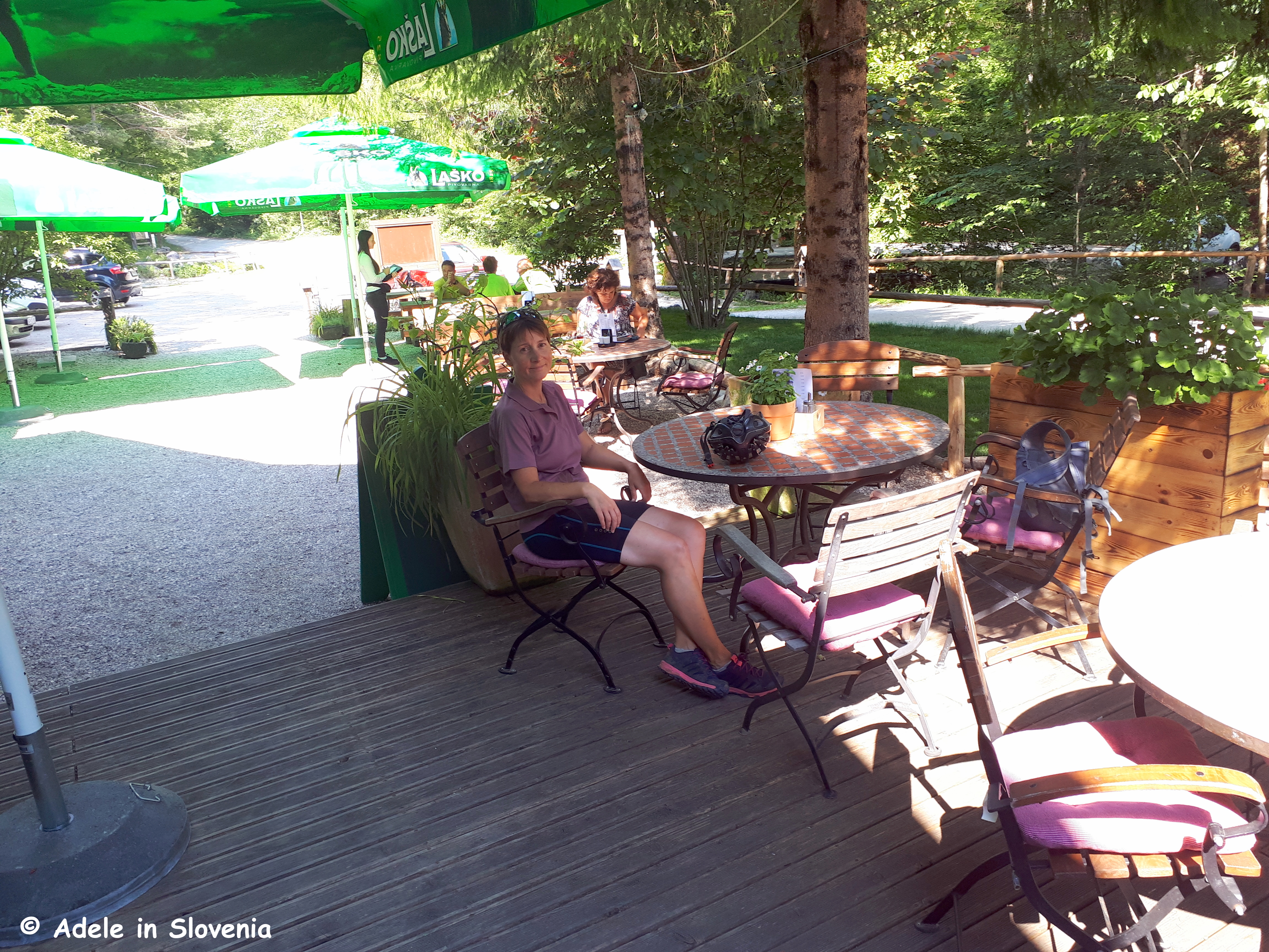
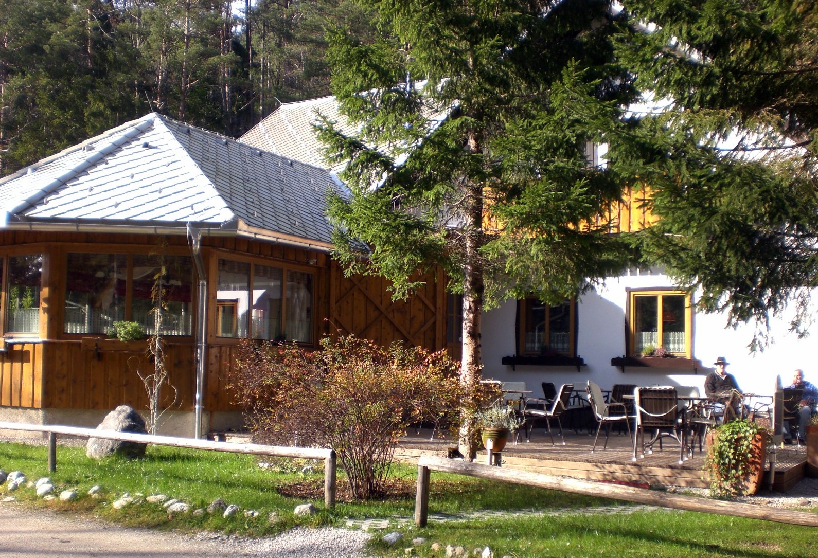
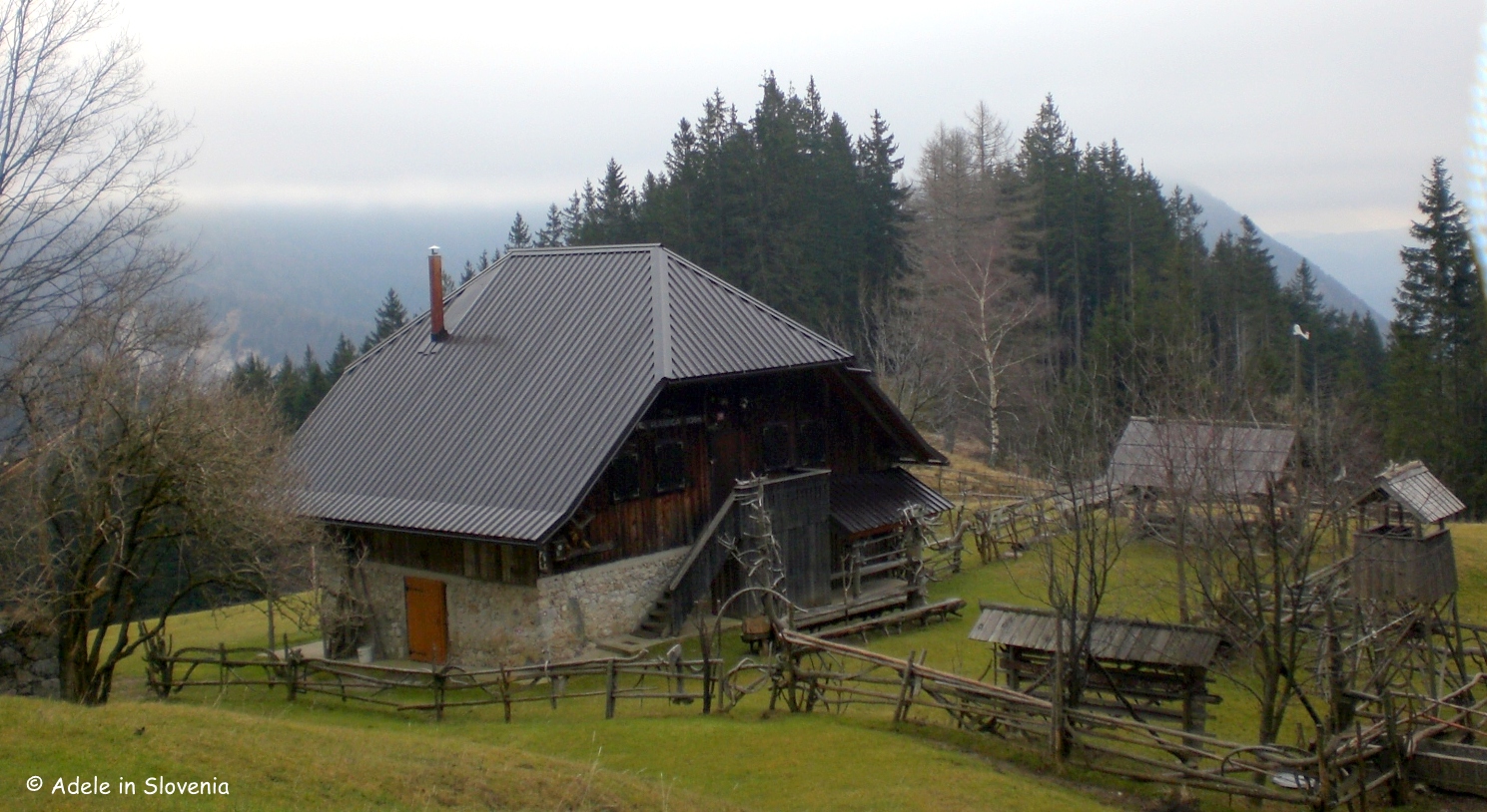
- Take sufficient water — there are no mountain huts along the ridge itself. If you opt for a circular route, refreshments are available at one of two mountain huts lower down (season dependent).
- Only attempt this hike in dry weather. After rain, the forest section can be treacherous.
The Route
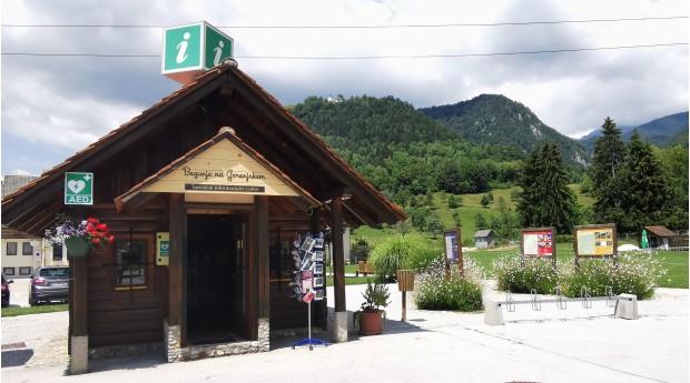
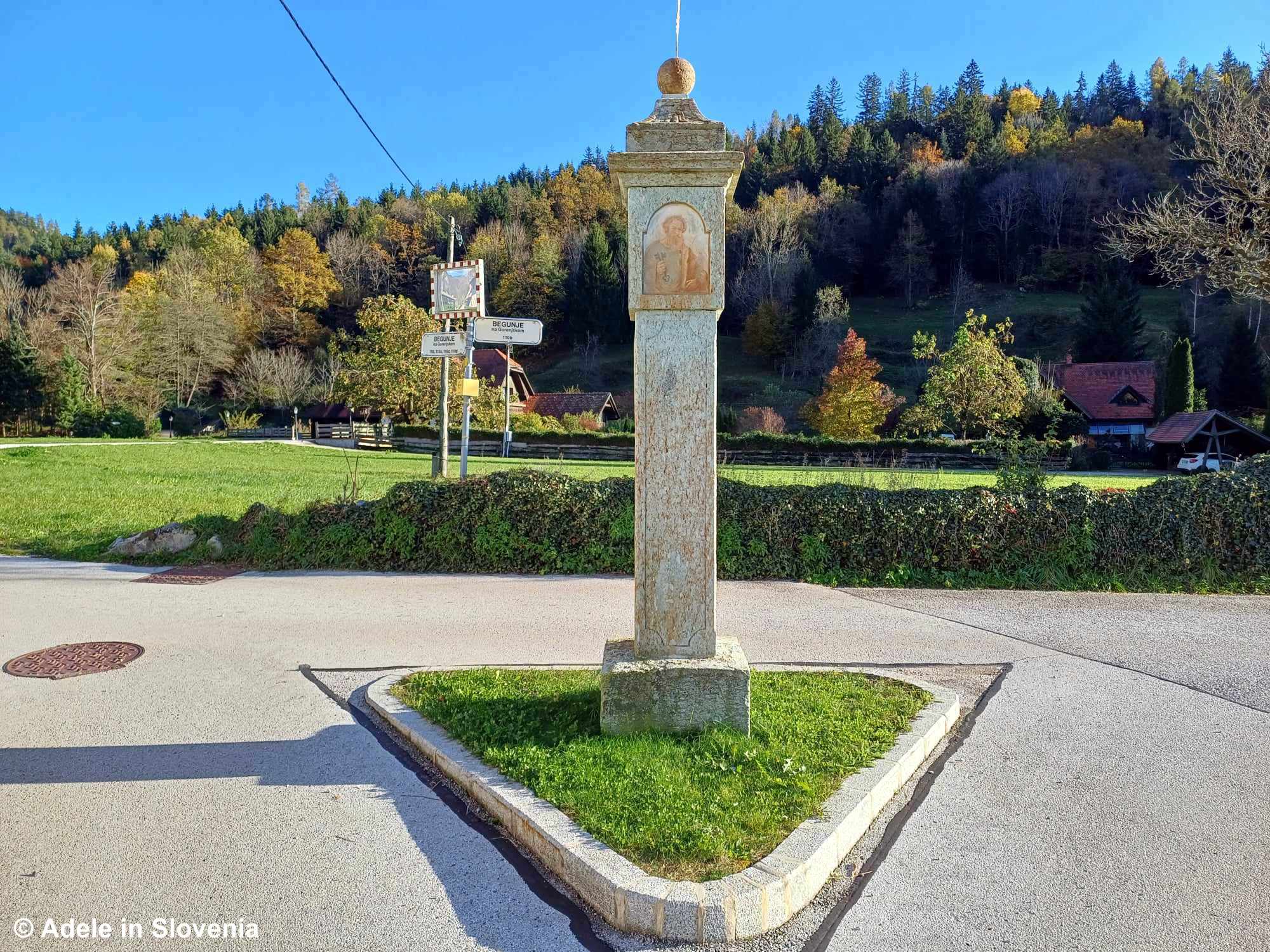
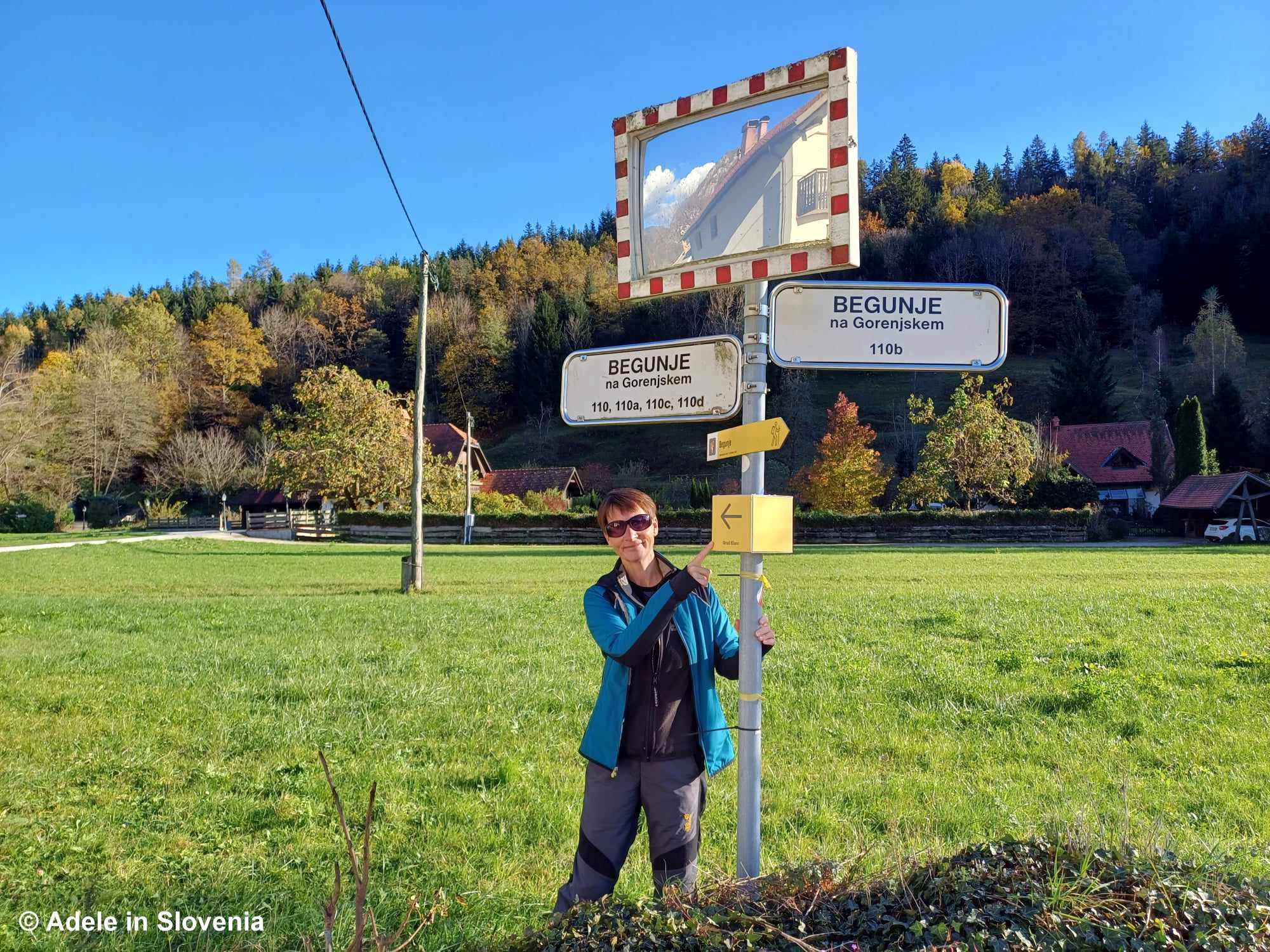
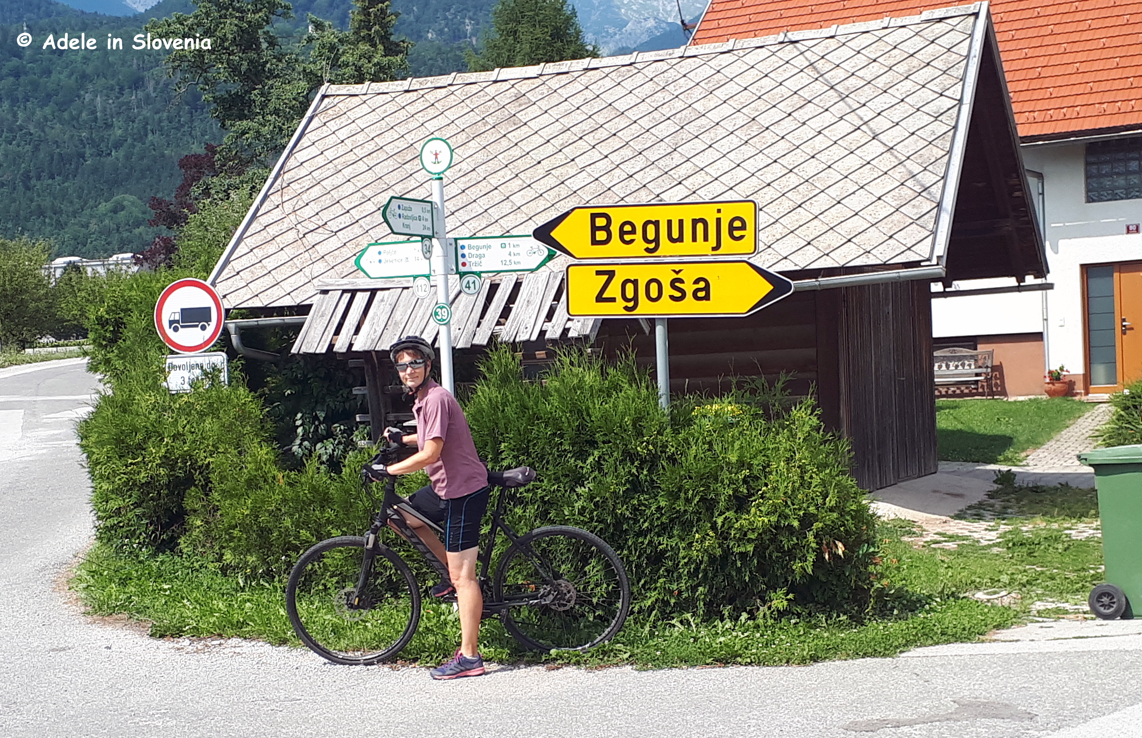
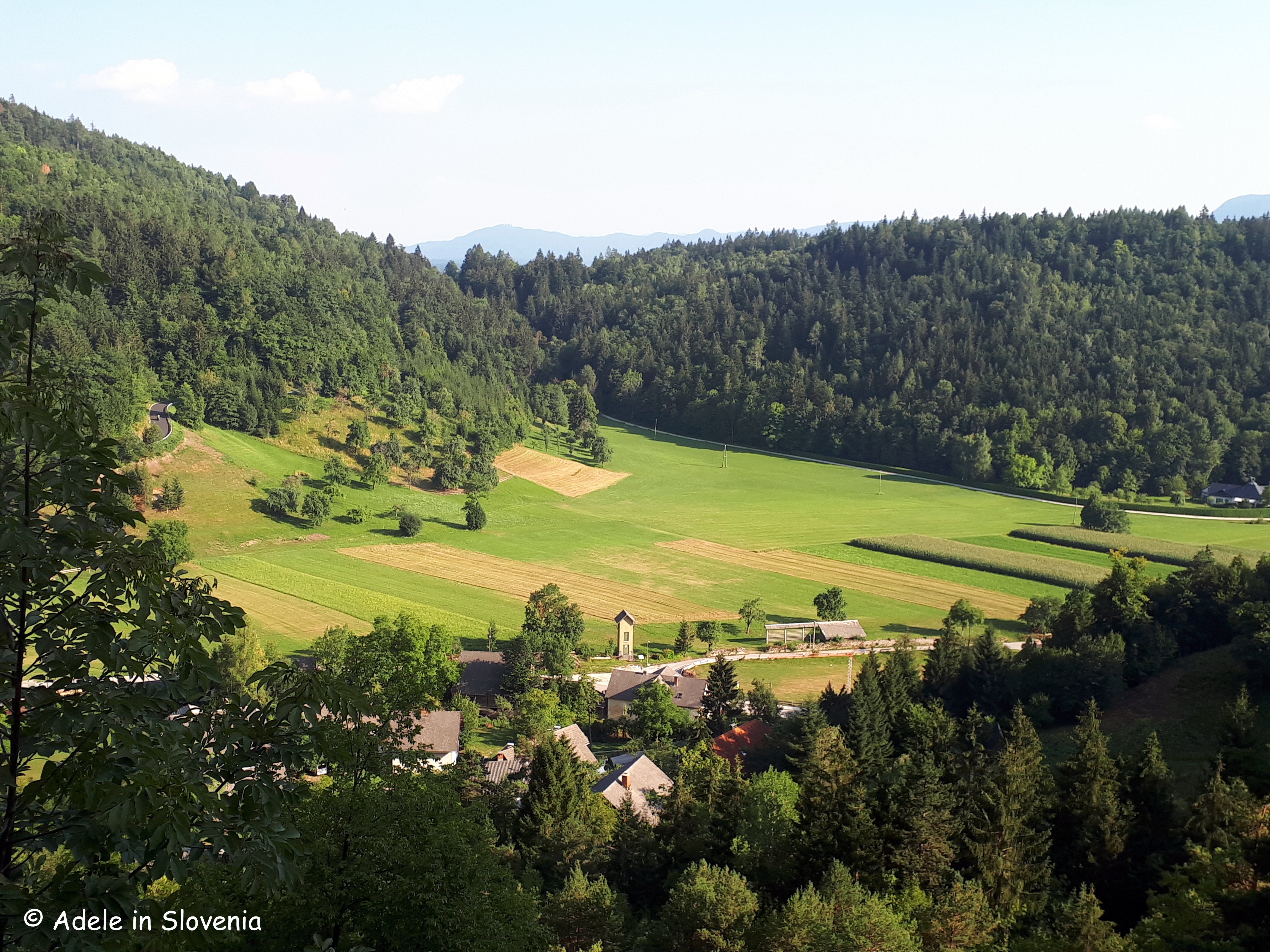
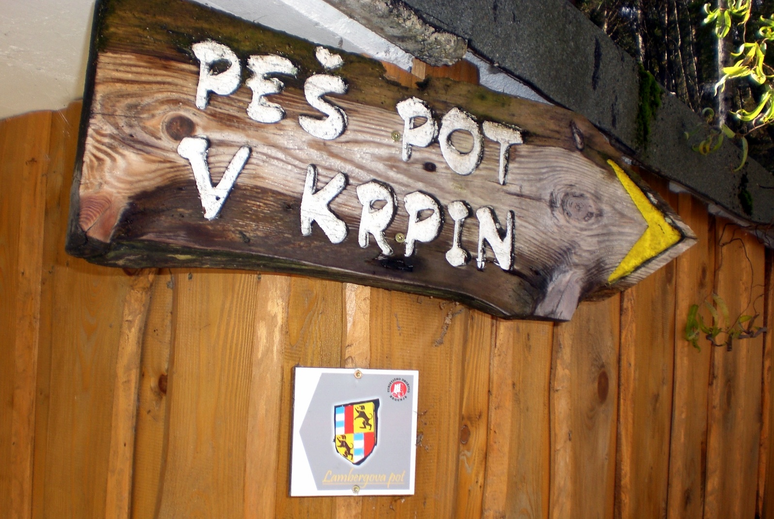
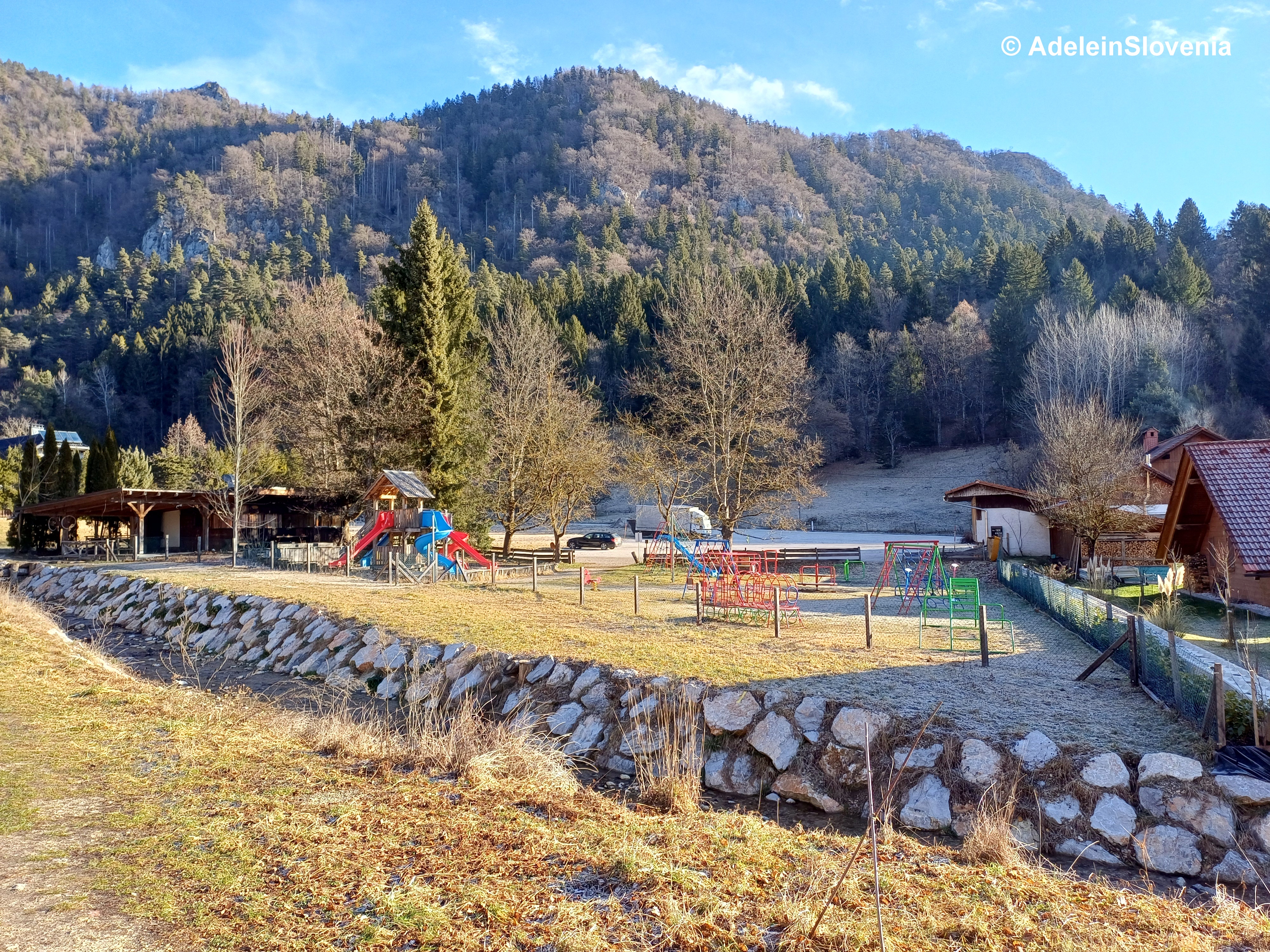
We started at the Krpin Recreation Centre in Begunje na Gorenjskem.
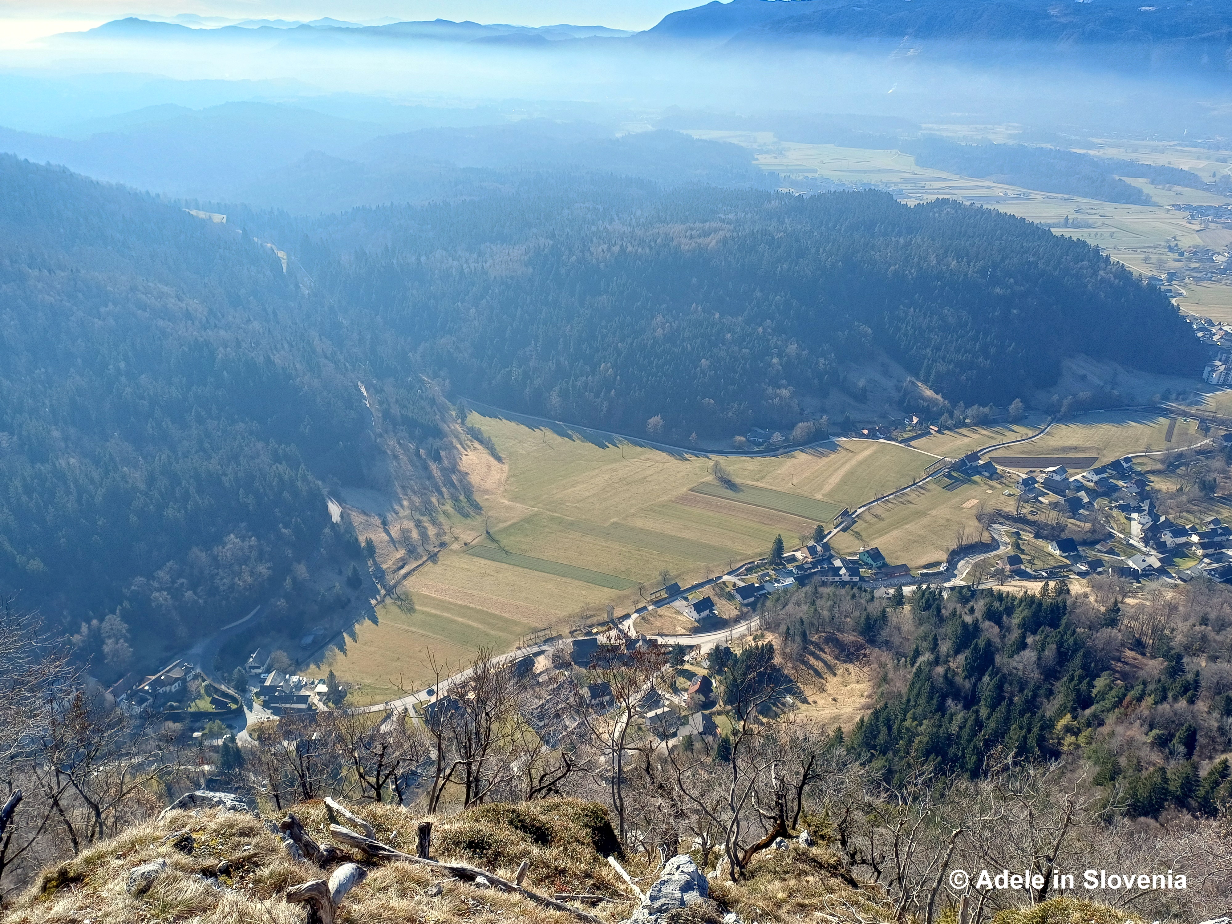
From there, we followed the well-established Lamberg Trail that runs parallel to the Draga Valley towards the Gostišče Draga inn. This initial section is easy and pleasant, gently warming up the legs.
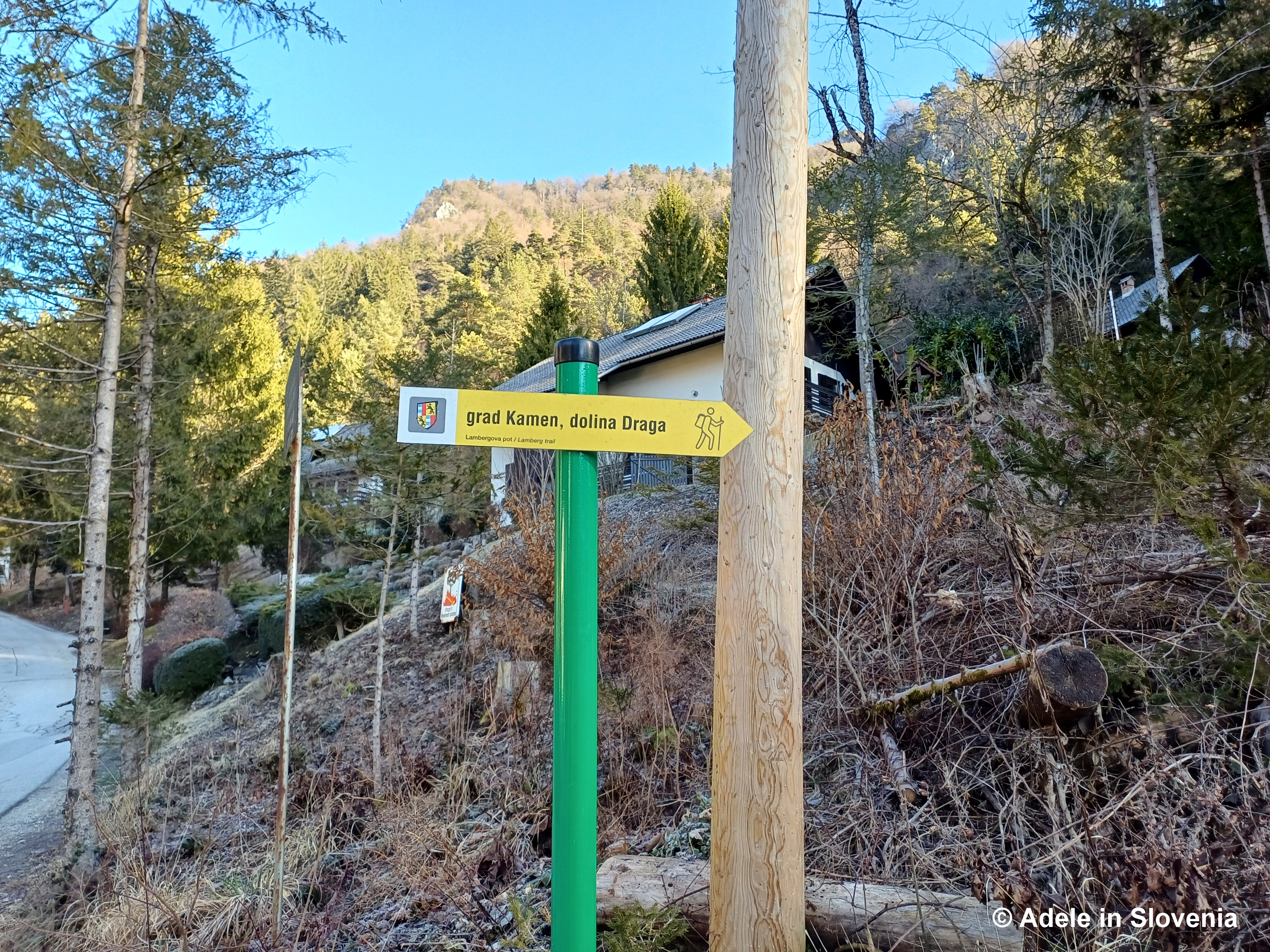
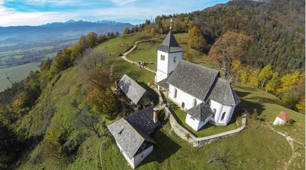
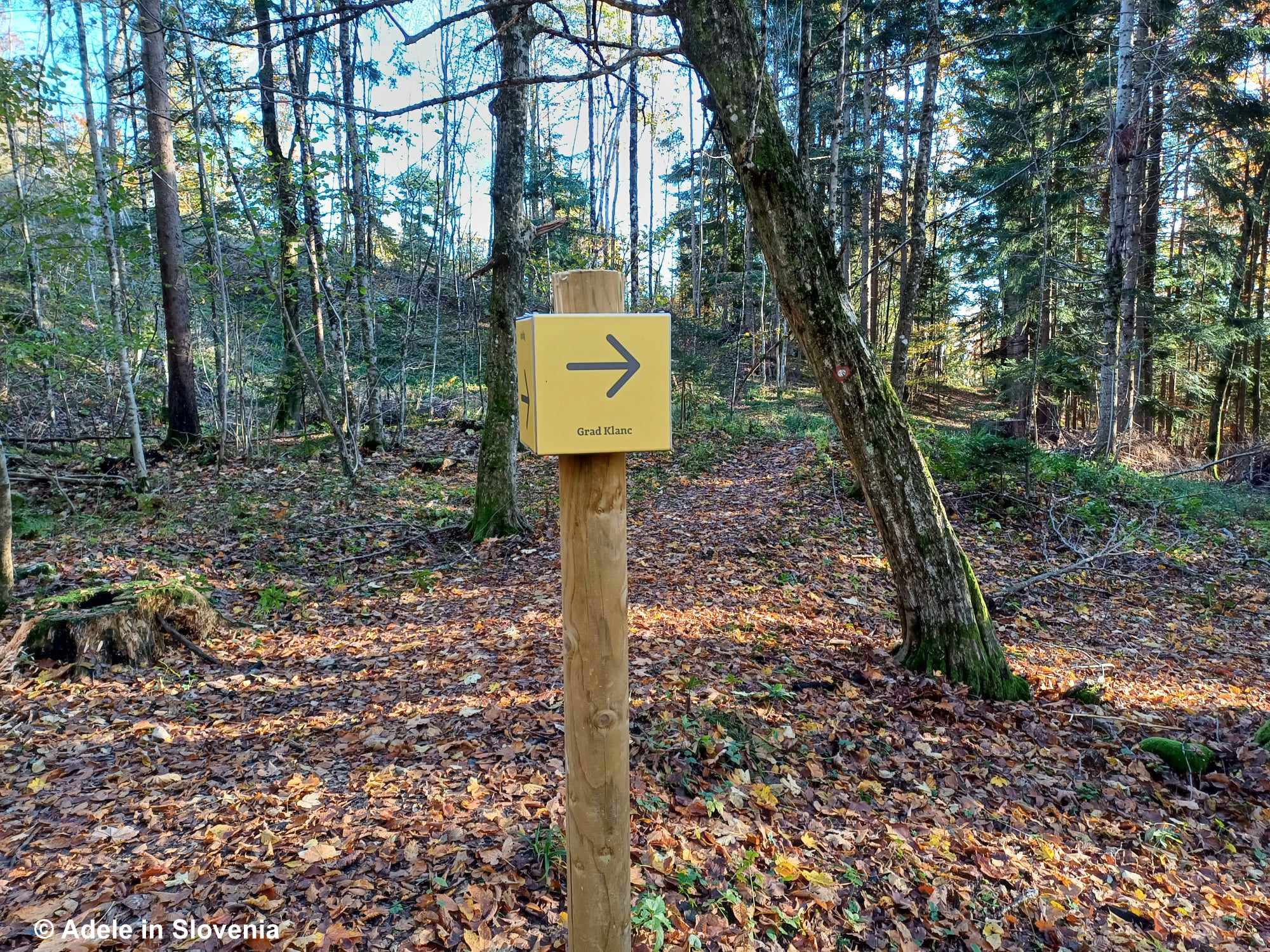
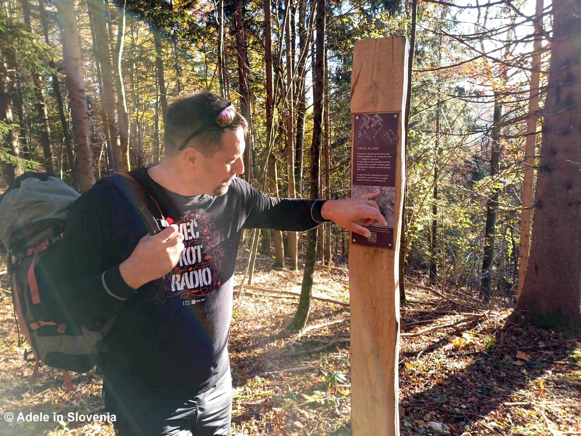
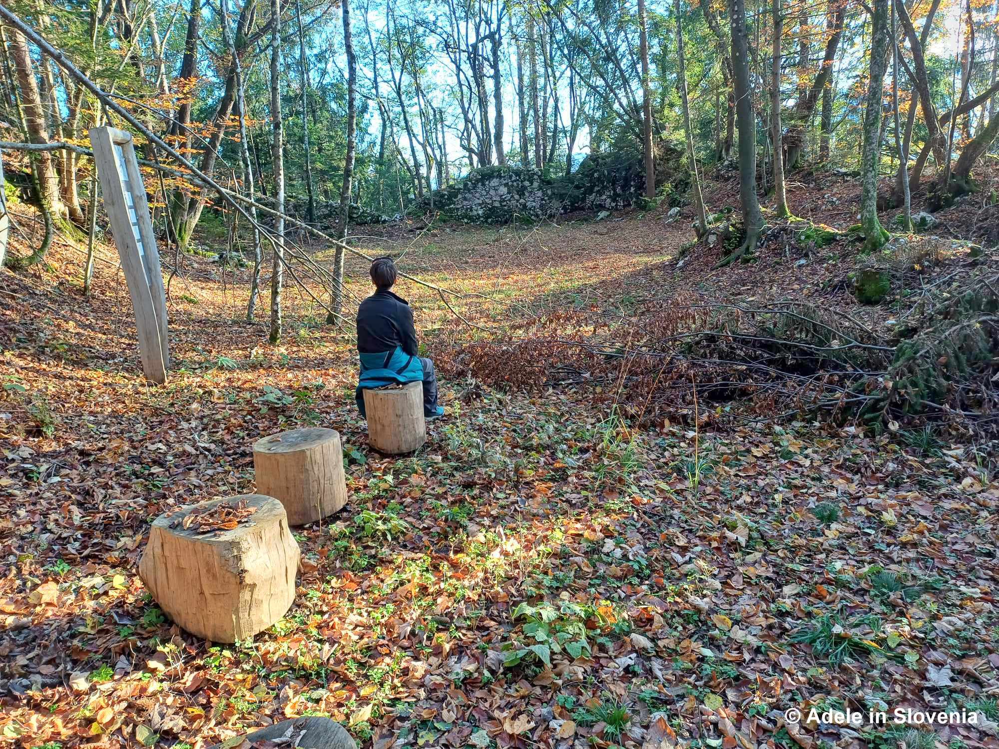
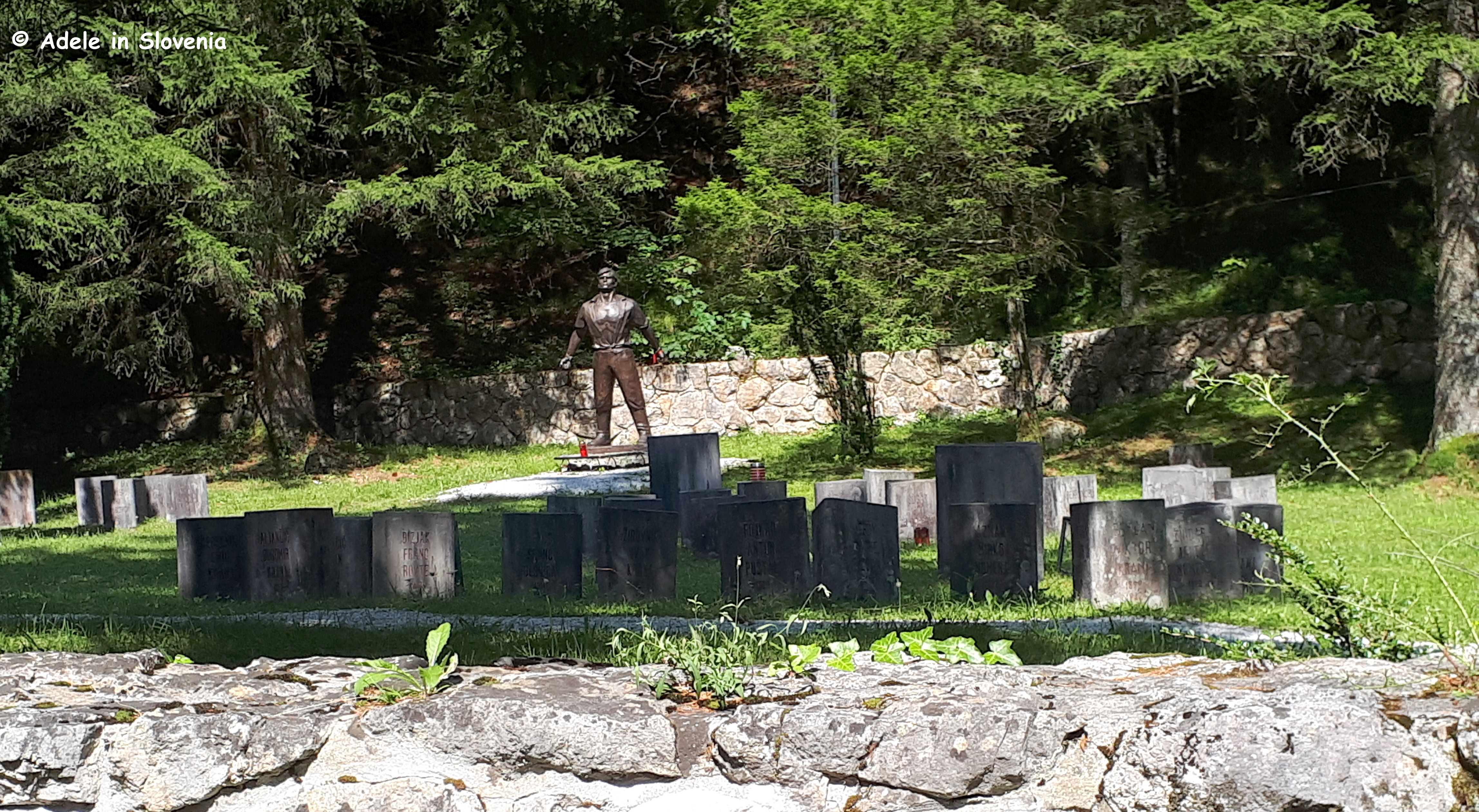
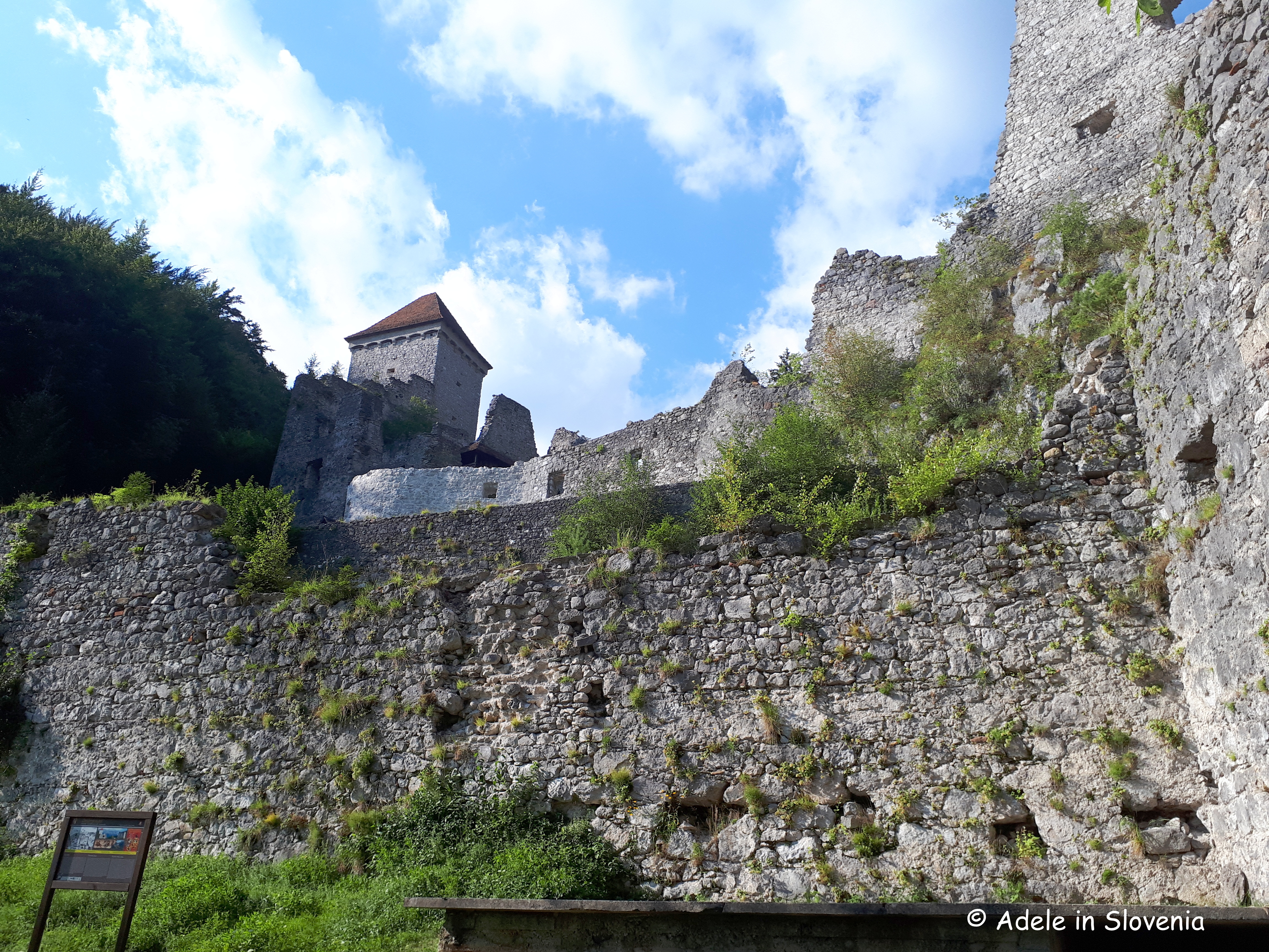
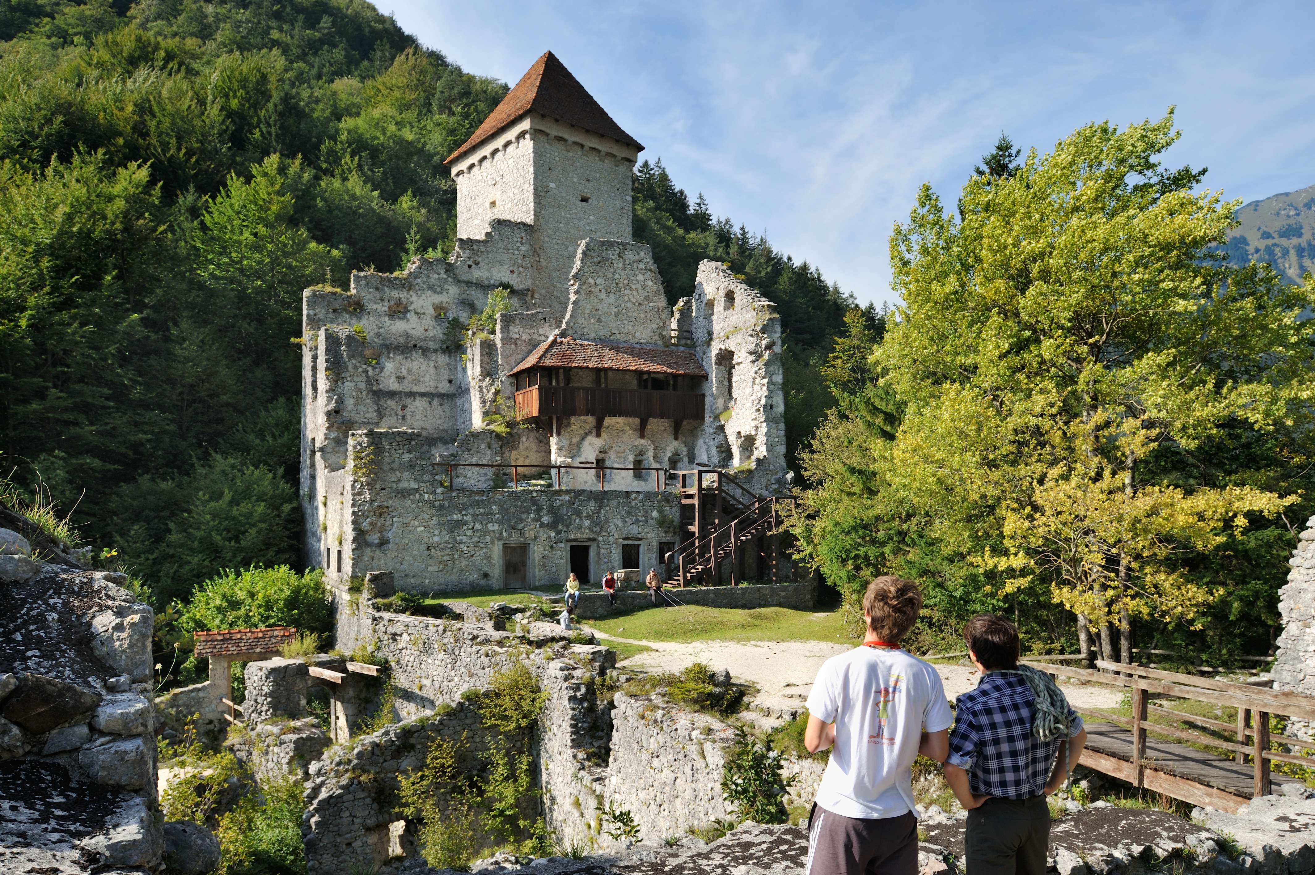
About halfway along, you reach the ruins of Kamen Castle, where there is also an information board.
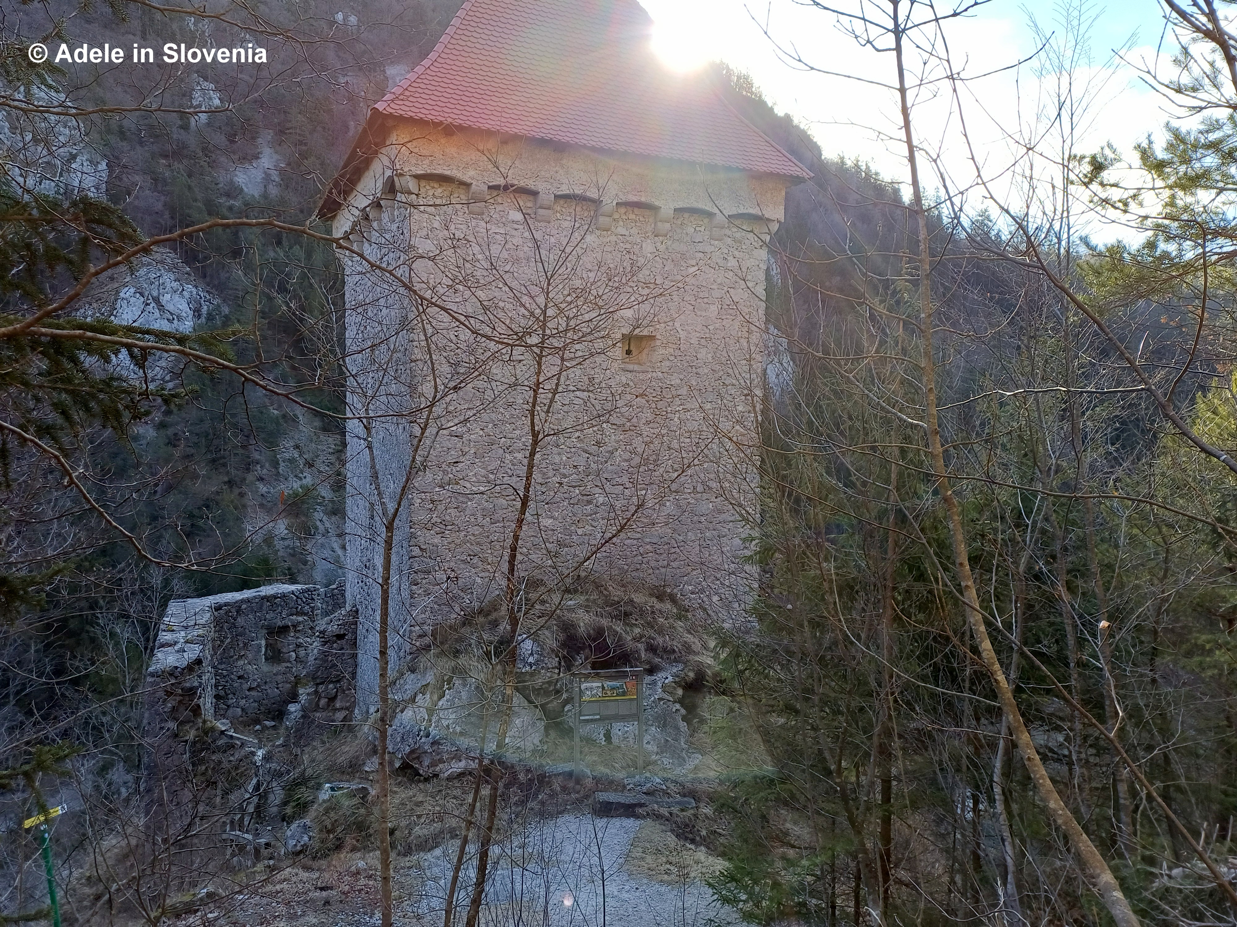
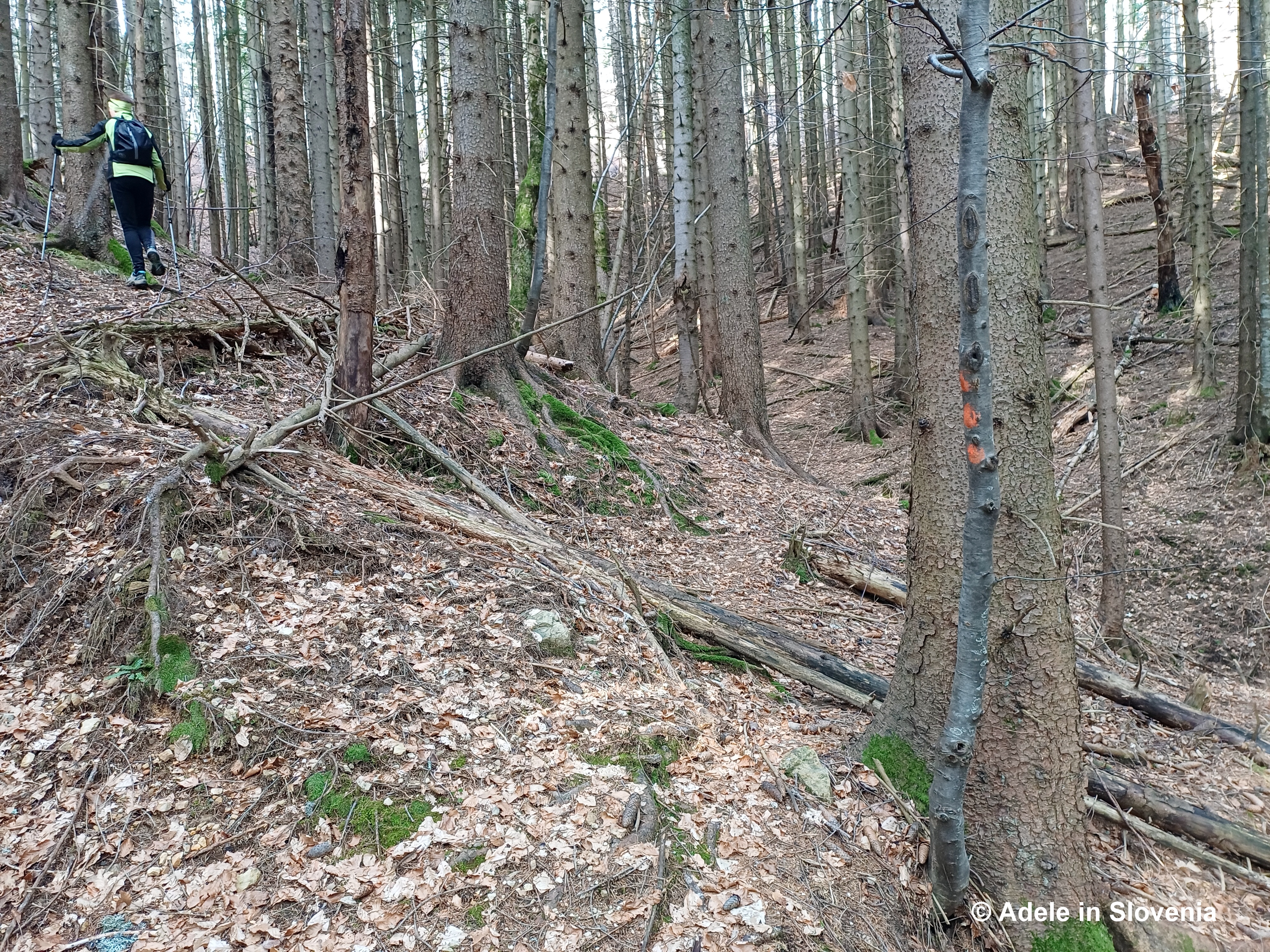
Directly opposite this board, look carefully: a narrow, steep path heads straight up into the forest. It isn’t signposted.
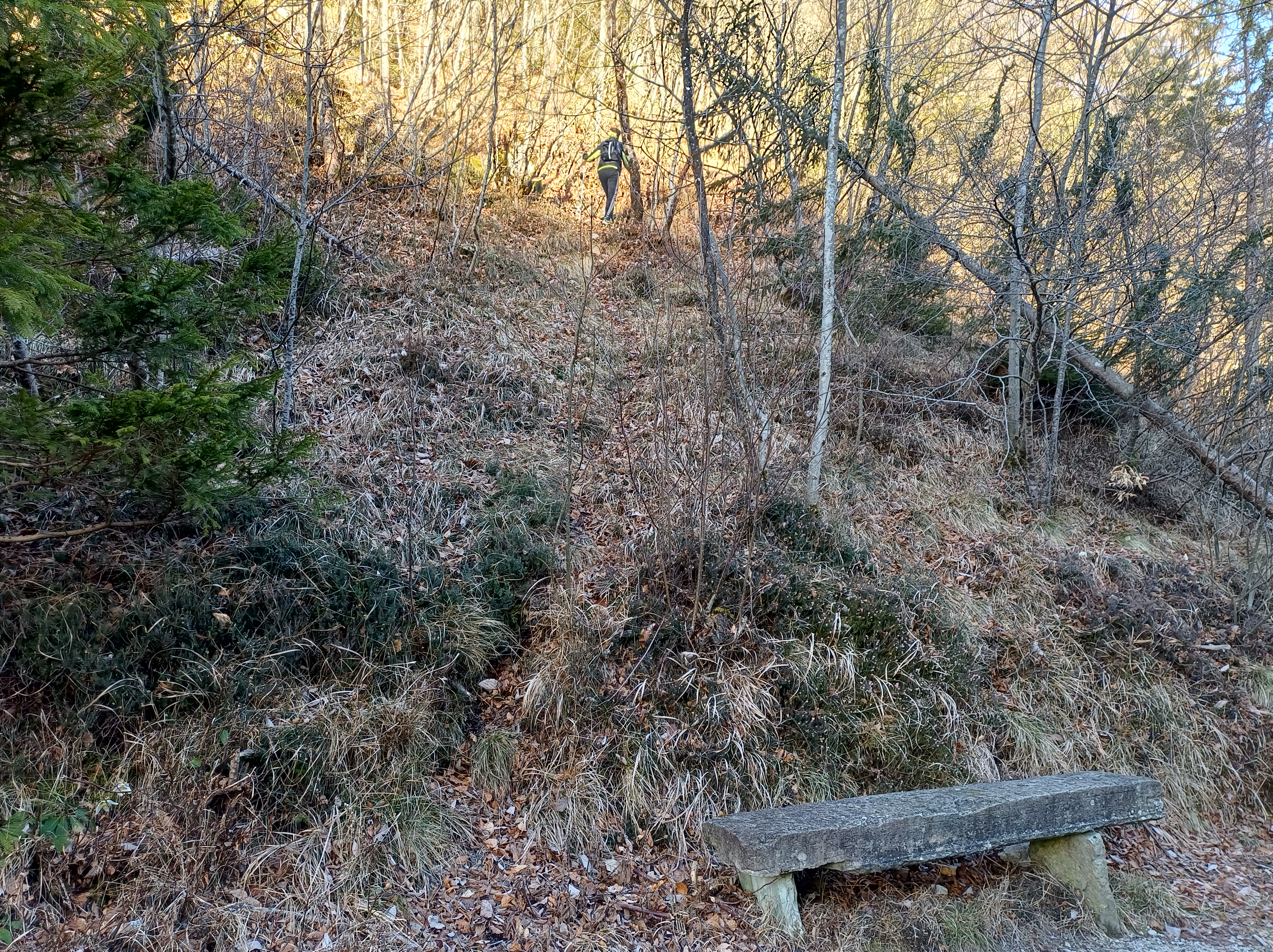
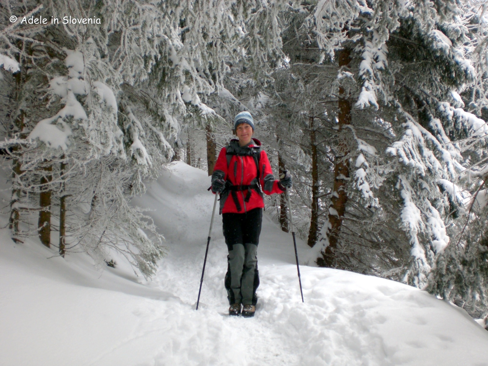
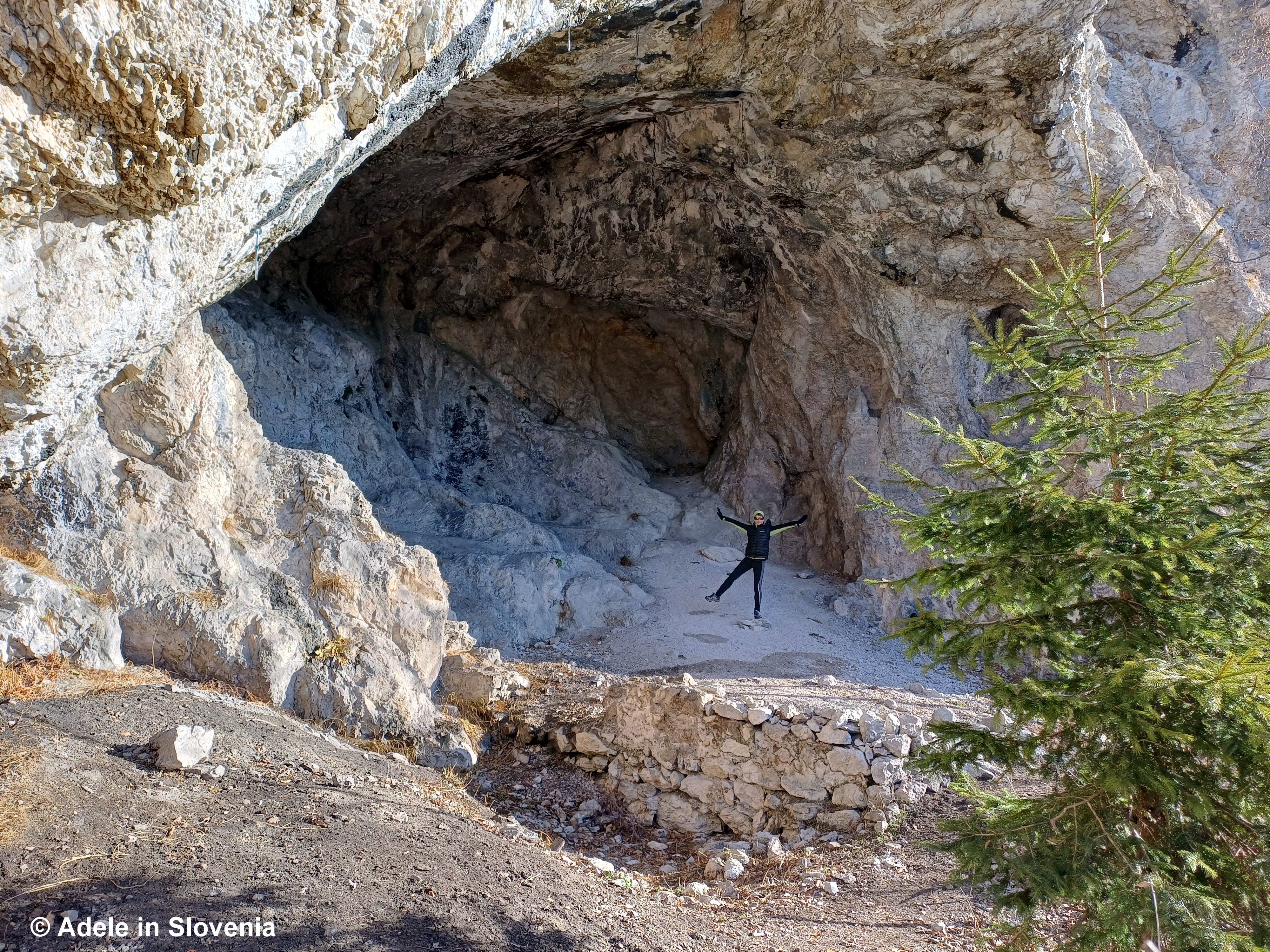
At first, the trail is clearly visible. Soon, however, it becomes faint, occasionally disappearing under leaves before reappearing again. There are no official markings here, so your main objective is simple: gain height and aim for the ridge above. There are a few possible variations, but as long as you keep ascending in roughly the same direction, you will eventually emerge onto the ridge.
This section took us about an hour — a relentless, calf-burning climb with very few flat sections. Definitely the ‘earn your views’ part of the hike.
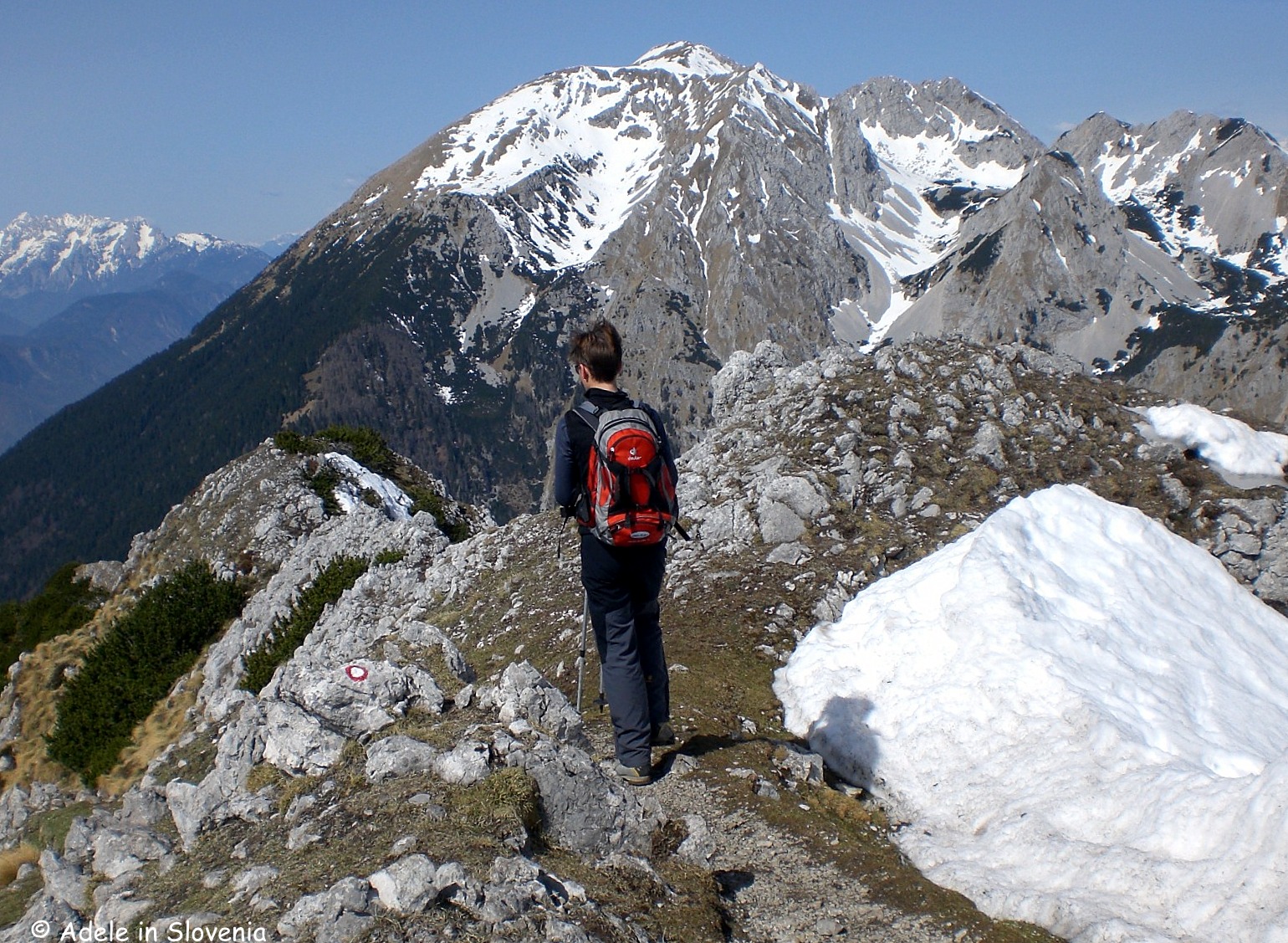
The Ridge
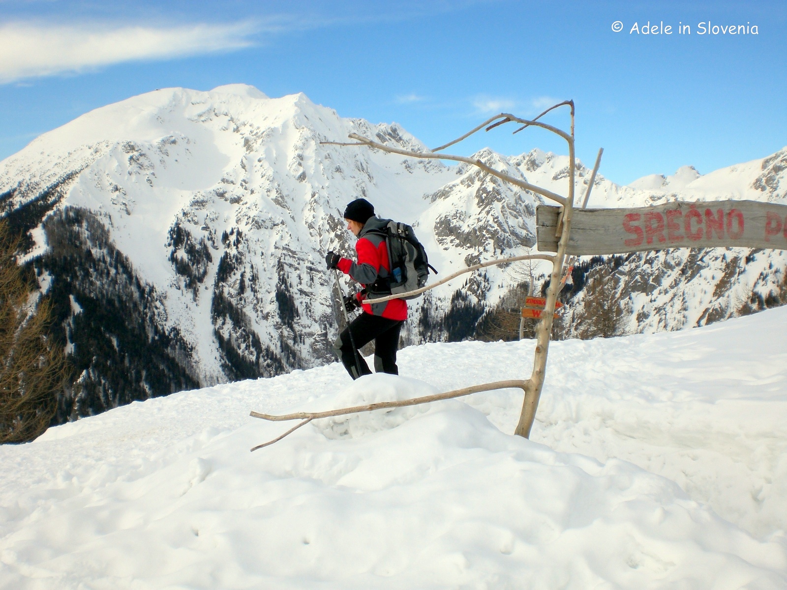
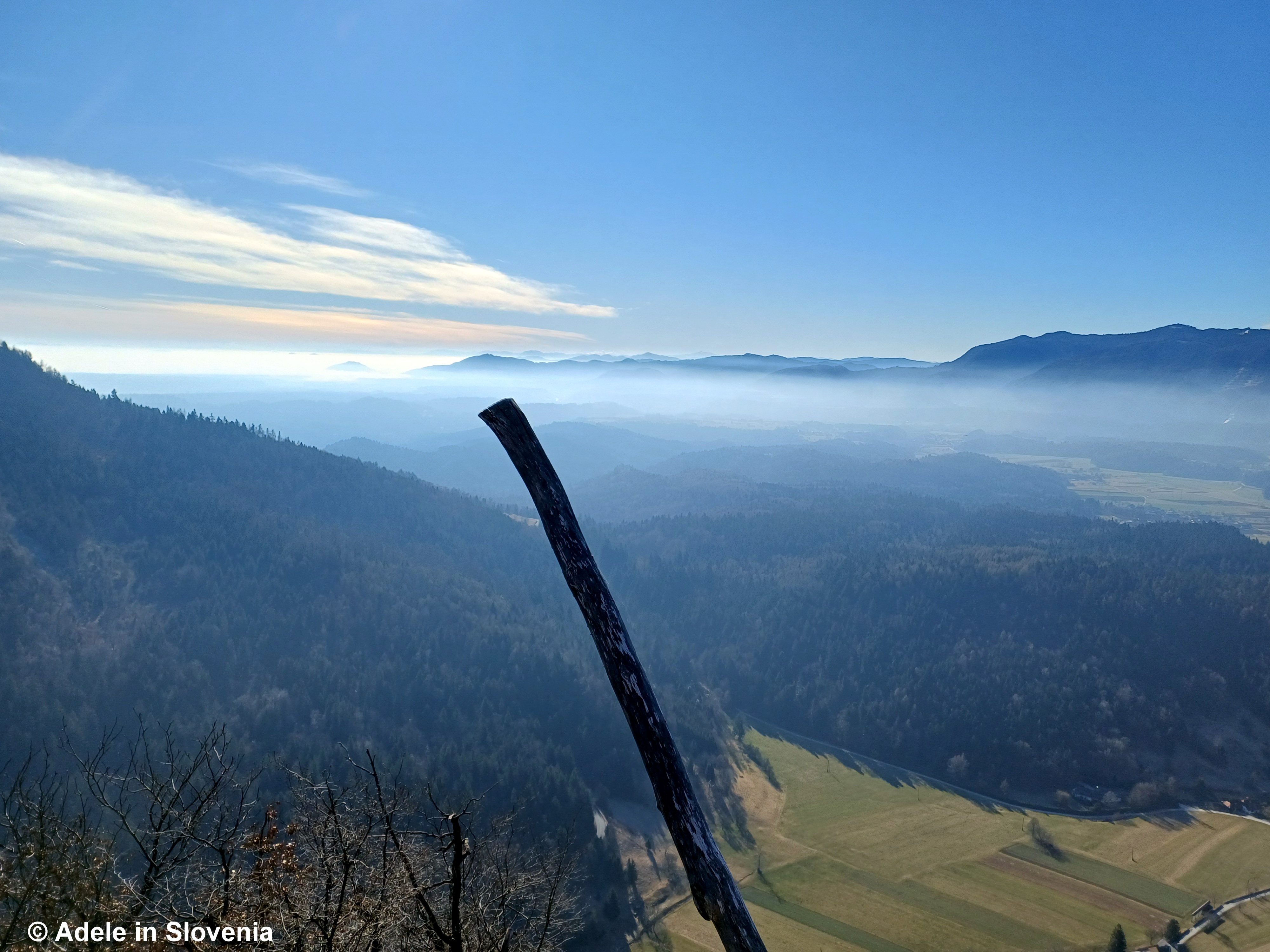
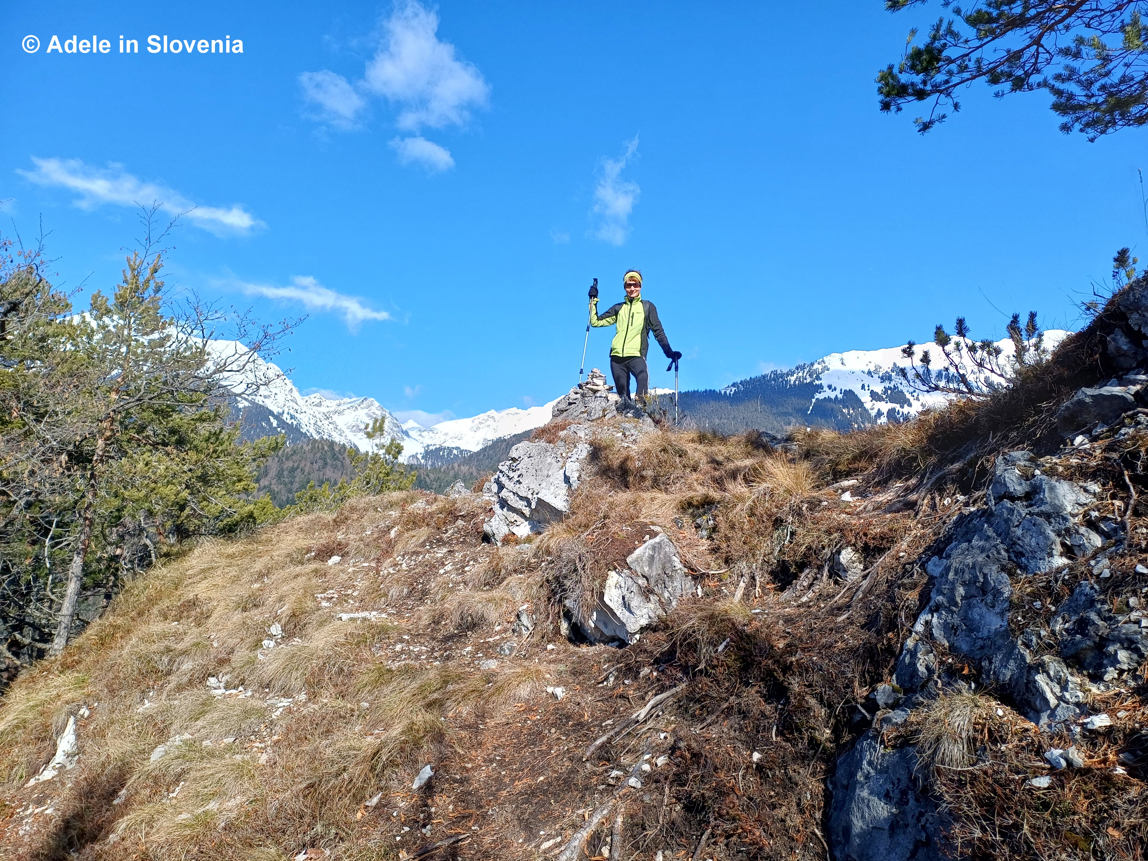
Once you reach the ridge, the forest opens up and the views immediately make you forget the effort. A short walk brings you to Mali vrh (988 m), the first proper viewpoint.
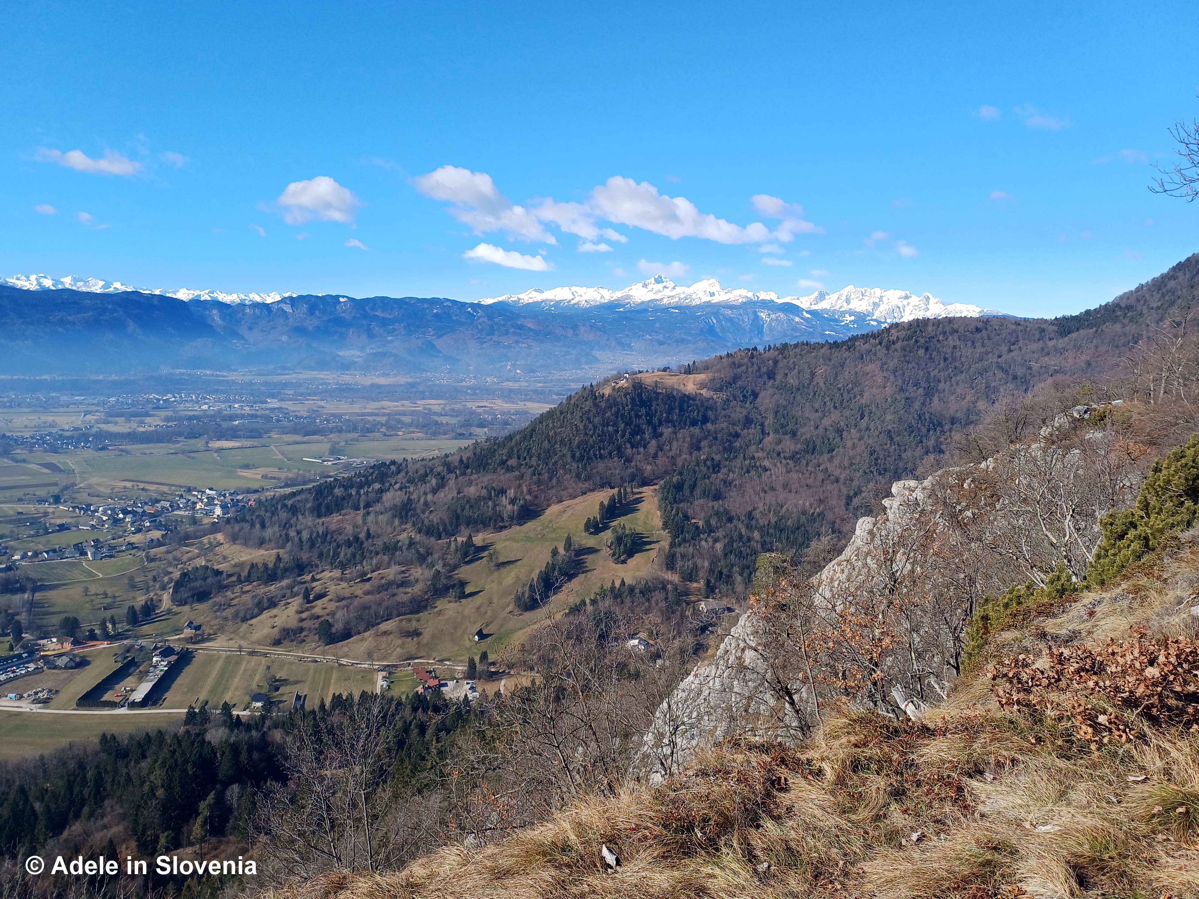
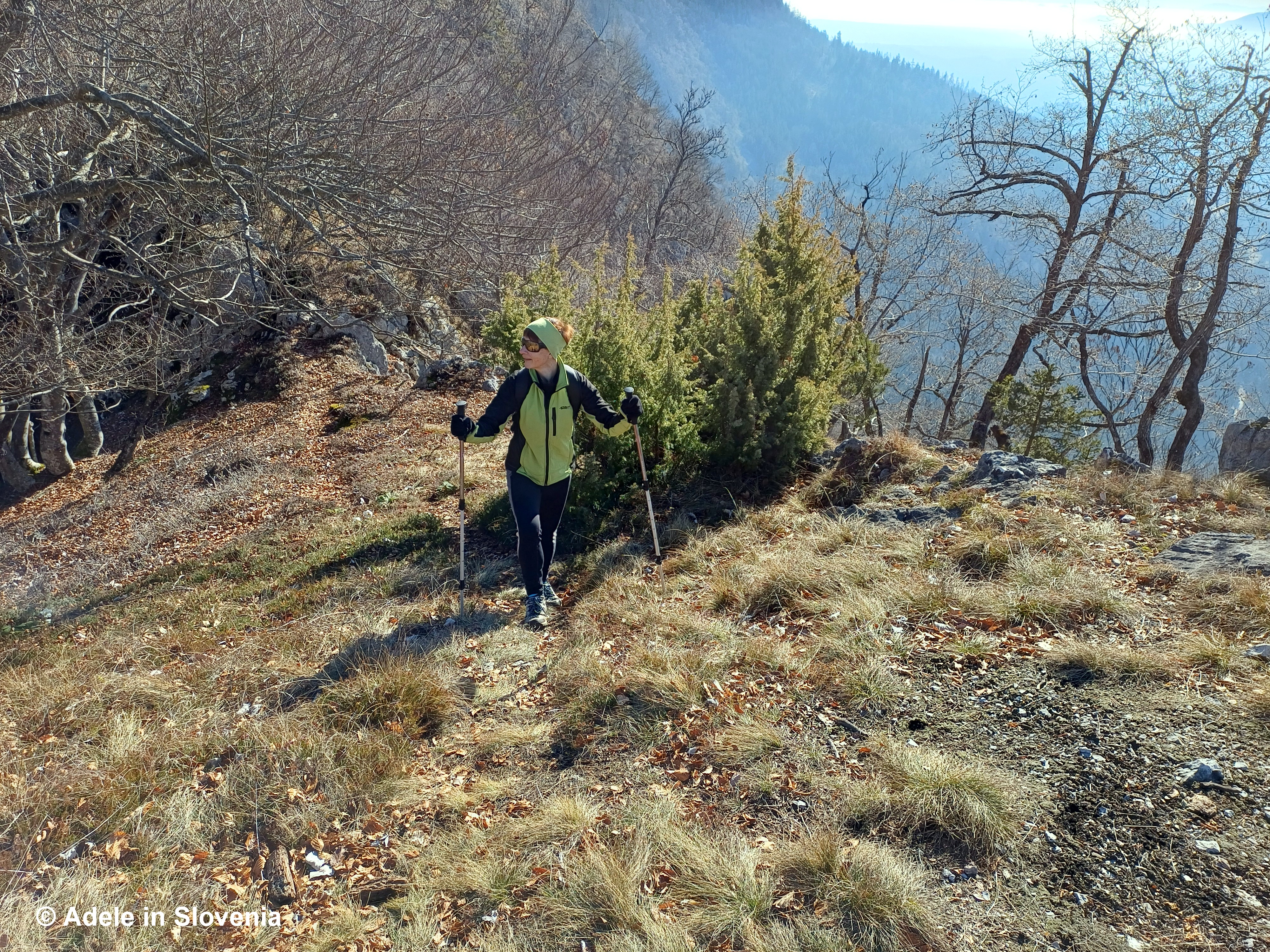
From here onwards, the path along the ridge is much clearer and easier to follow. It gently rises and falls, weaving through forest and open sections, offering occasional glimpses down into the valley below and across to higher peaks in the distance.
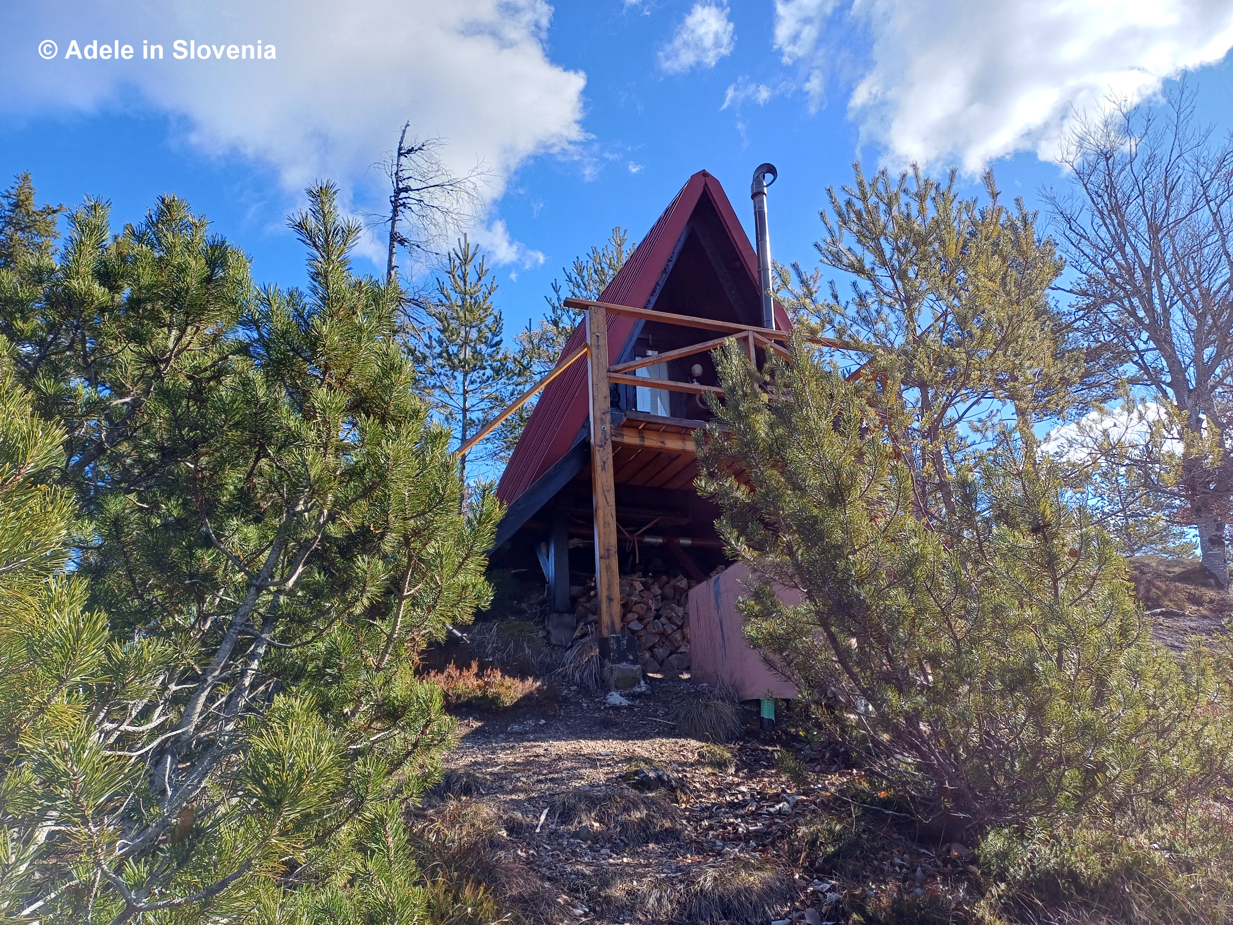
Eventually, you reach a small bivouac — a simple shelter on the ridge. It’s a good place for a short break and to assess your onward options.
From here, there are several choices. I strongly recommend using a GPS tracker (we didn’t and had a few moments of “Is this definitely the path?”). Tourism Radol’ca offers an interactive map.
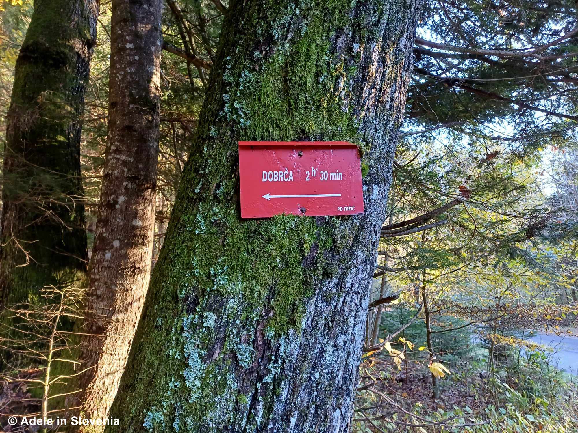
You could return back along the same trail or take the trail to the right at the bivaouc and continue to the highest point of the route: Veliki Gač (1,053 m). From here, you can also make short detours to Jamarski vrh and Tolsti vrh if you wish to extend the outing.
Returning – Circular Options
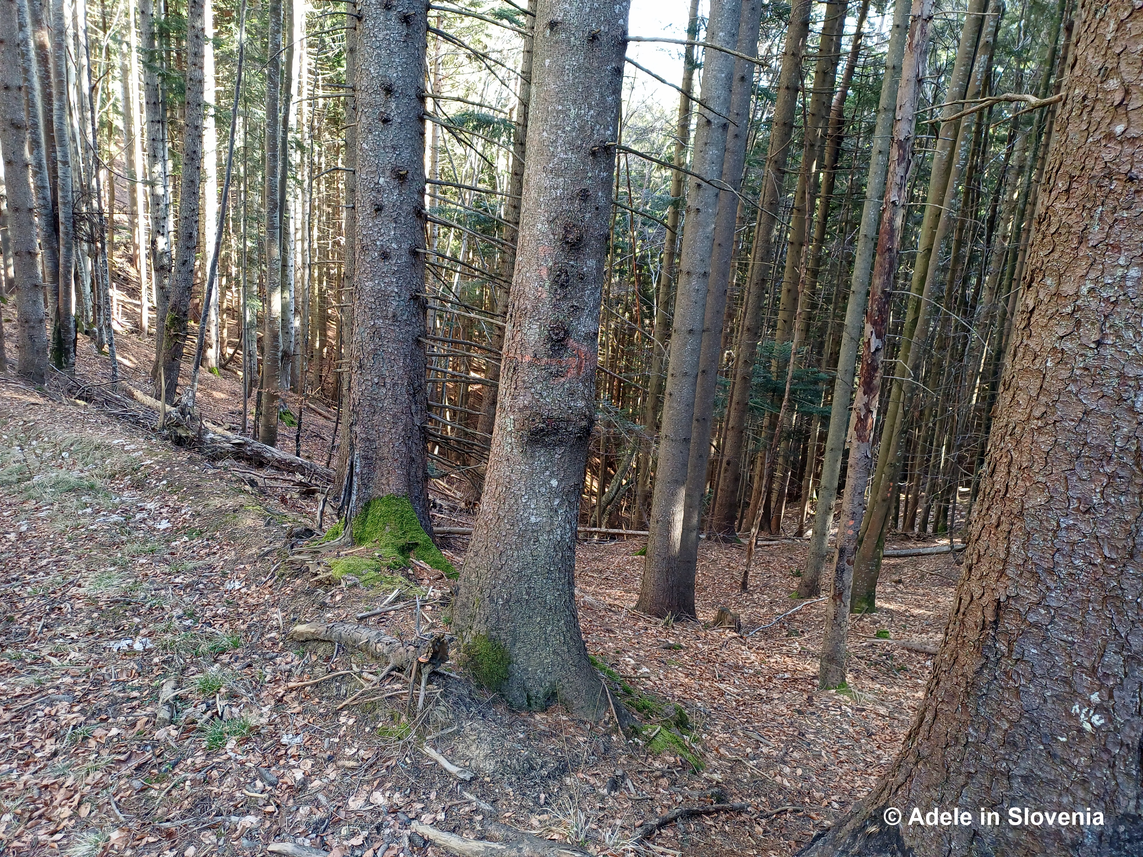
We opted for a circular route. After leaving the main ridge path, we followed sparse tree markings in the form of three dots (resembling traffic lights).
These eventually lead to a junction, marked with a faint arrow, where you rejoin officially marked trails — the familiar red and white circular waymarks.
At this point you have options:
- Turn left towards the Tomčeva koča mountain hut on the Poljška planina mountain pasture and then descend via a marked trail back into the Draga Valley.
- Or turn right and follow the marked trail back towards Begunje na Gorenjskem and the Krpin Recreation Centre.
As there are several variations depending on time, weather and energy levels, I won’t describe them all in detail here. The following link provides additional information to help you decide on your preferred return route:
https://www.hribi.net/trenutne_razmere/slo/greben_nad_begunjami_-_najvisji_vrh_veliki_gac_1053_m/11/7044/1
We hiked for around five hours in total, but it can easily be a full-day’s hike if you stop along the way and stop off to eat your packed lunch or at one of the mountain huts (if you plan to do the latter, be sure to check opening times in advance).
If you attempt it, let me know how you get on!
Until next time …
©Adele in Slovenia


_r.jpg)